Monthly Archives: July 2024

Getting closer to Canada

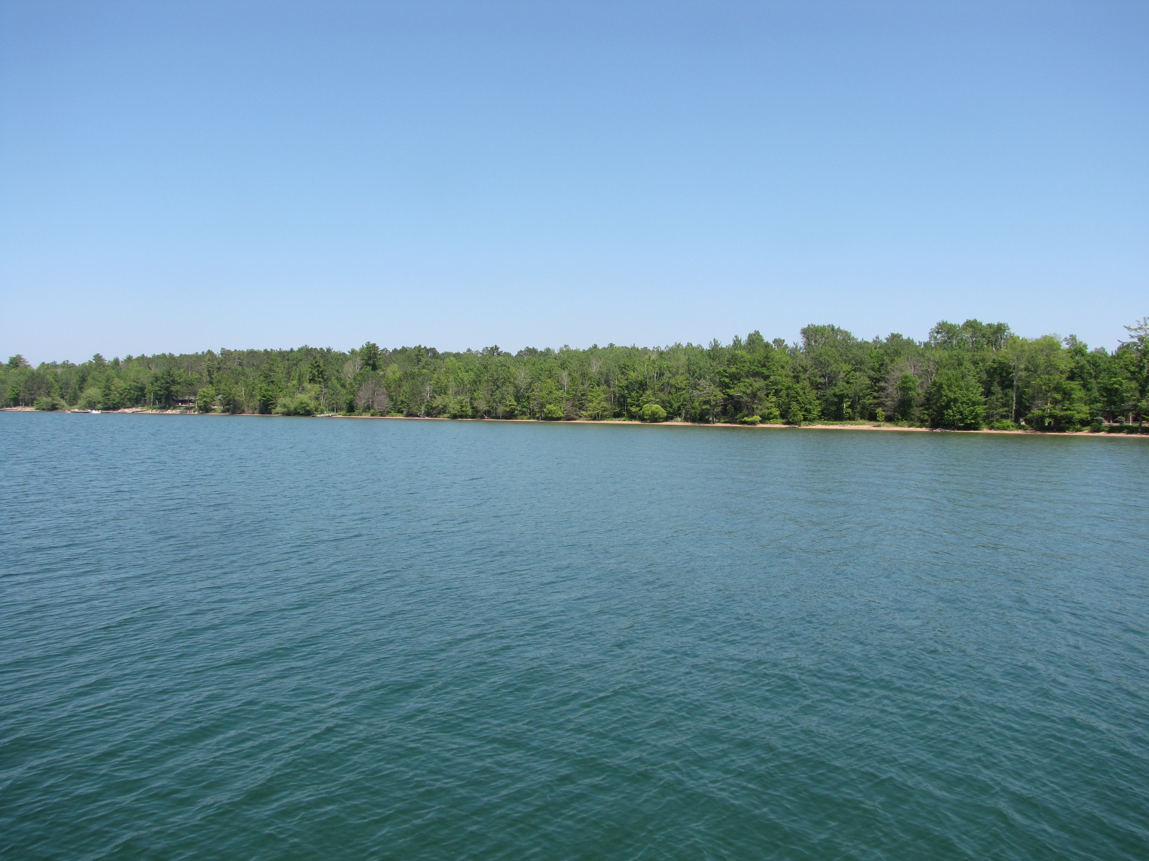
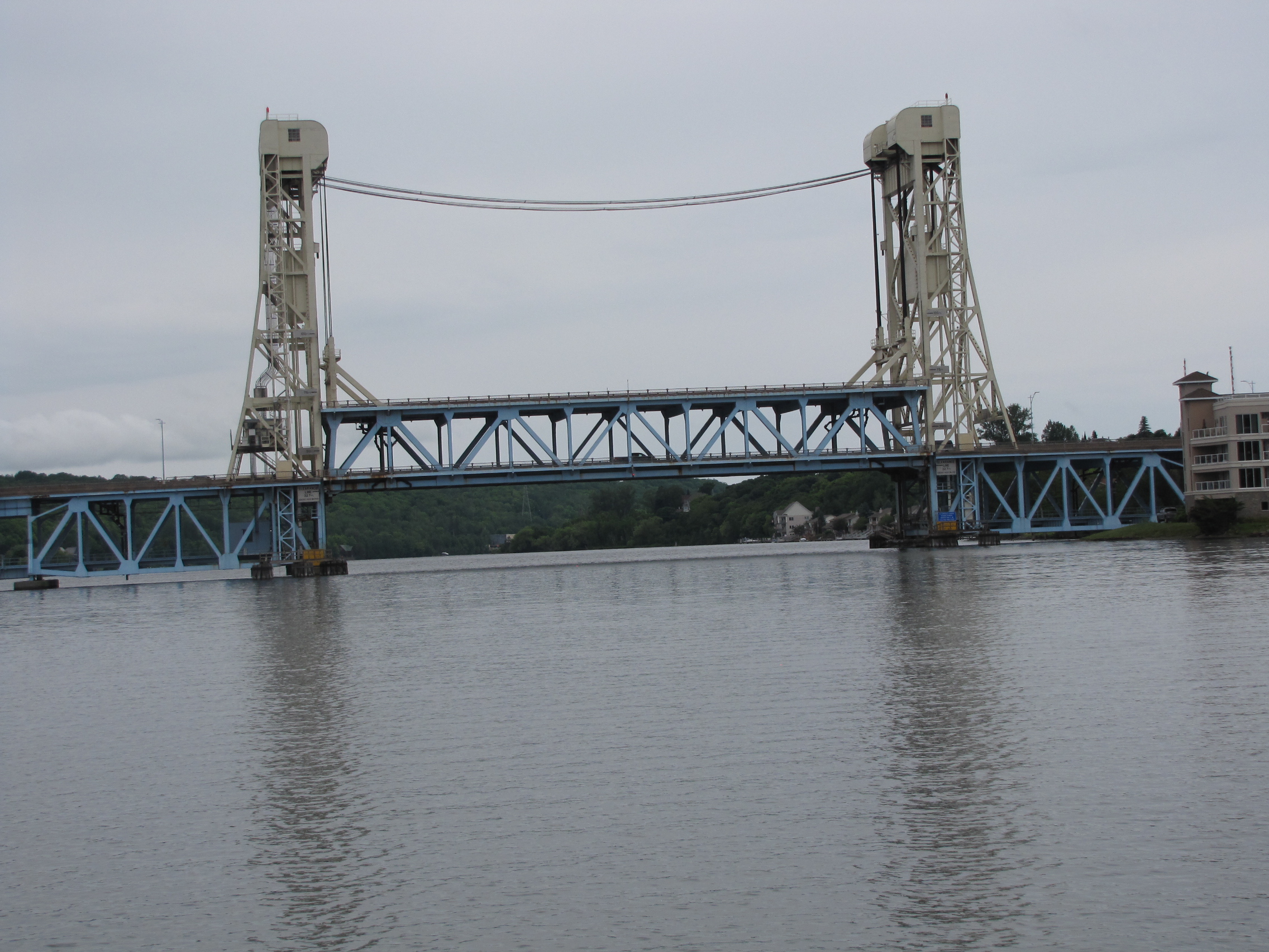
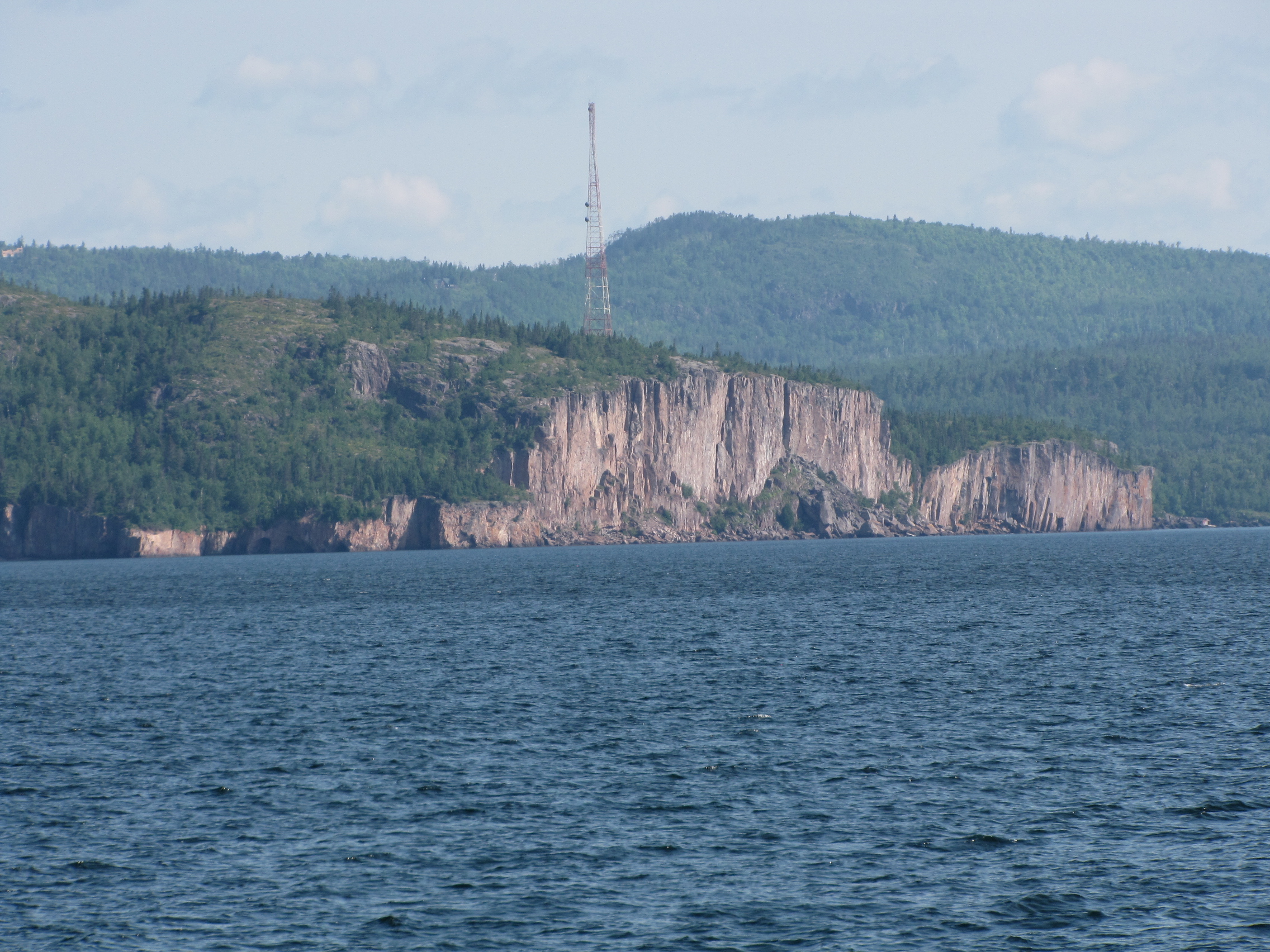
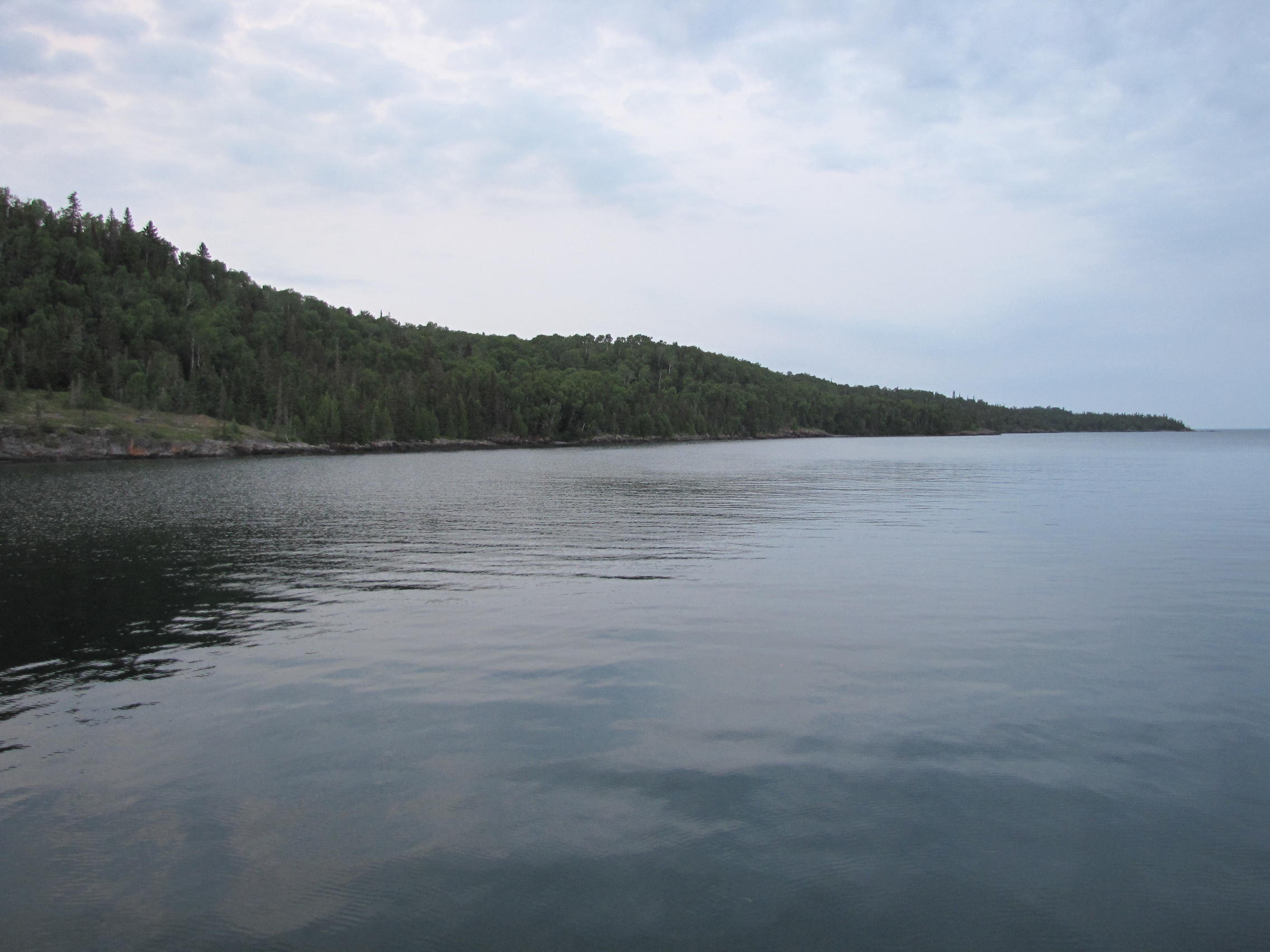
After fueling and a pump out on Tuesday morning in Silver Bay , we set off for Taconite Harbour, which was 25 miles away, passing by the Pallisade Rock, with the tower on it.  The wind was going to increase in the afternoon, so this would be far enough for us.  The refuge harbour consisted of 3 mooring balls  surrounded by a break wall.  No wind issues here.  We selected the closest mooring ball to the entrance, and tied off.  One minor casualty- I broke the end off Andy’s locking hook, while pulling it out of the mooring ball loop. (He’s hoping that someone with a 3-D printer might be able to make him a new one.)

Later in the afternoon, the captain decided this would be a good place to replace the oil in the engines, as we were at 108 hours of use since leaving Buckhorn.  So, he pumped out the old and replaced it.  We had a peaceful afternoon and evening, and watched a fishing charter captain, with 2 of his groups for the day and their catch.

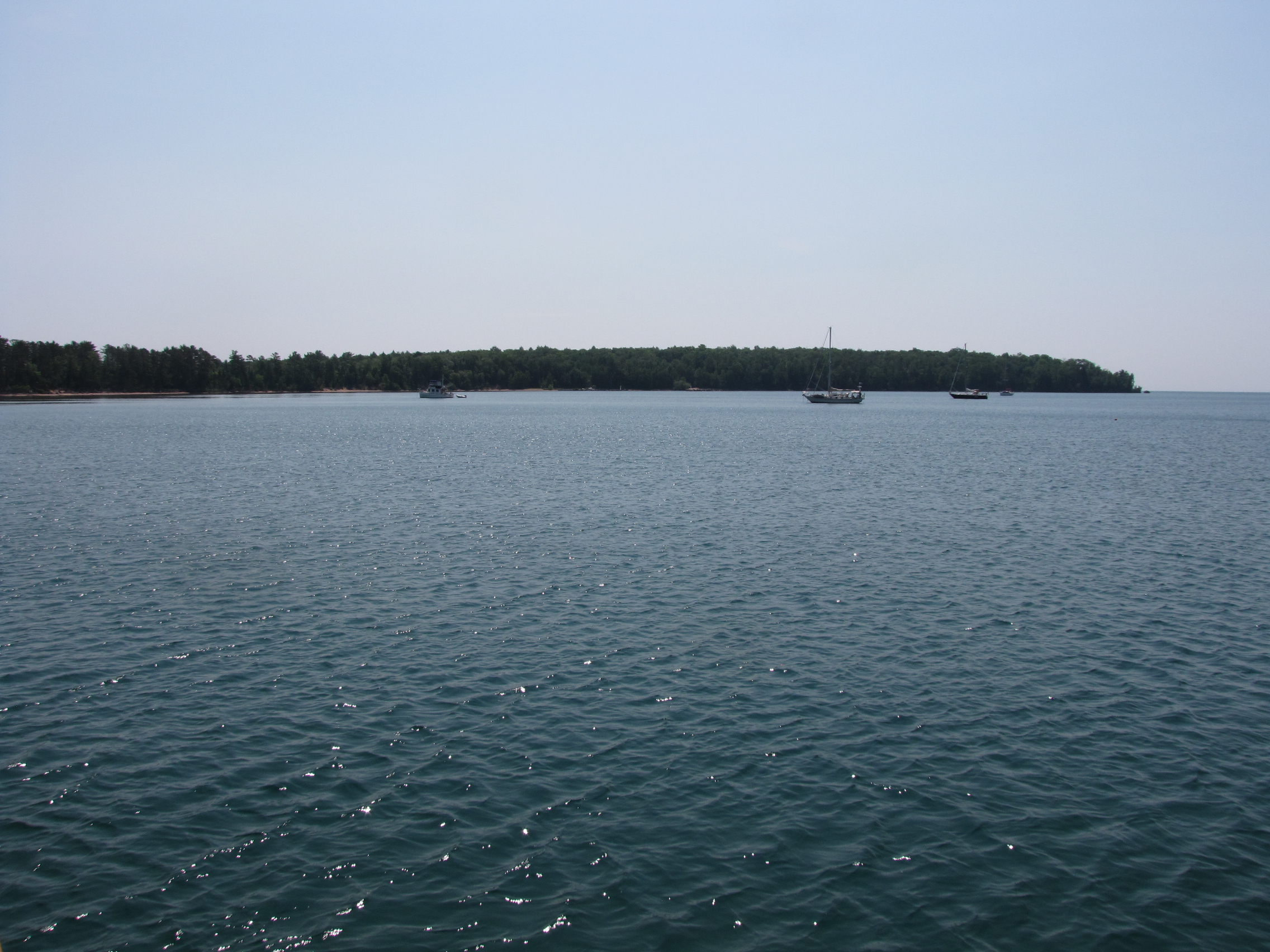
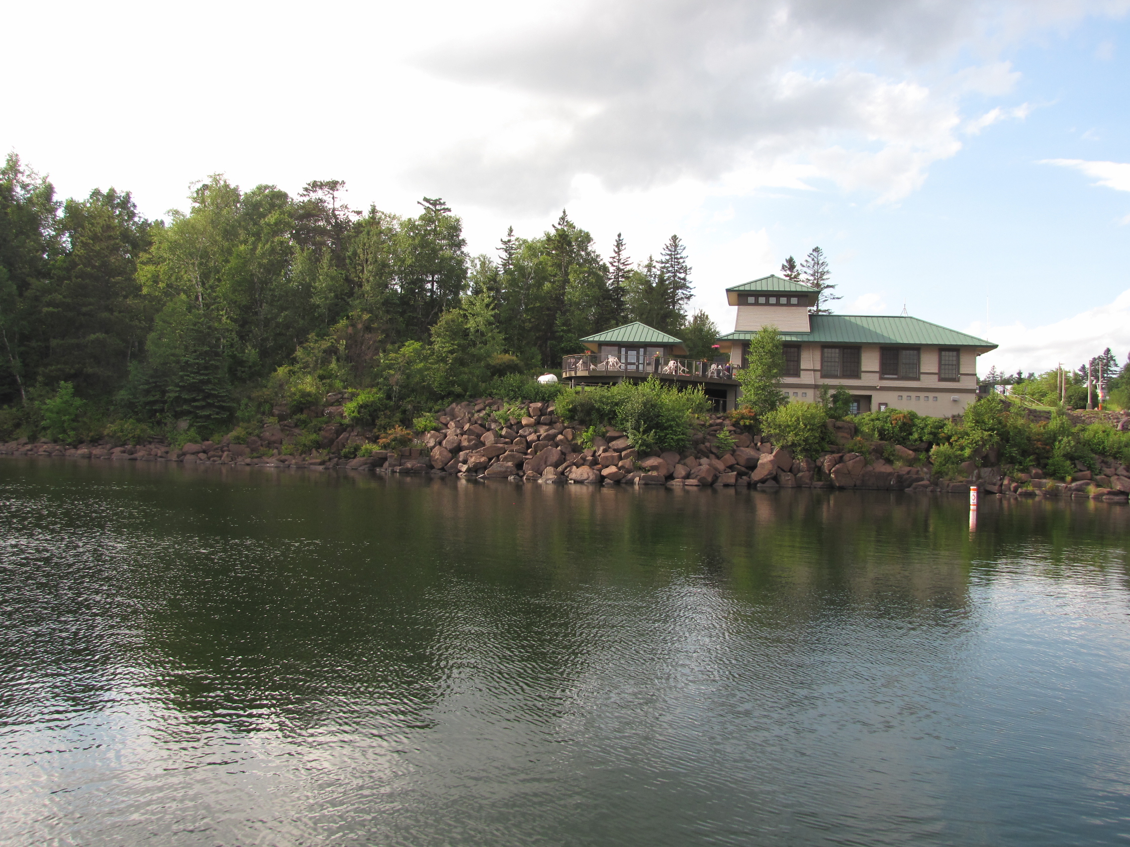
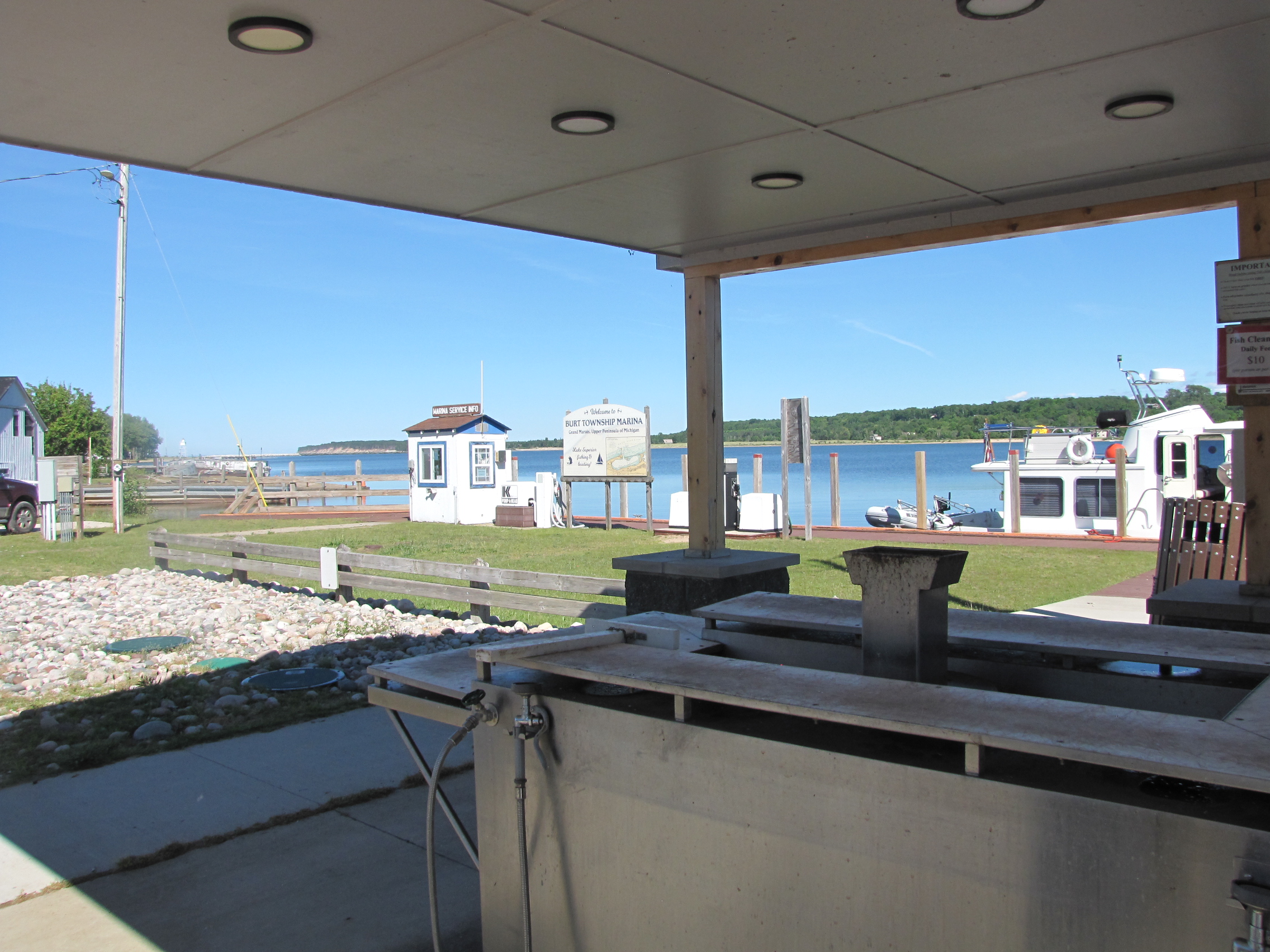
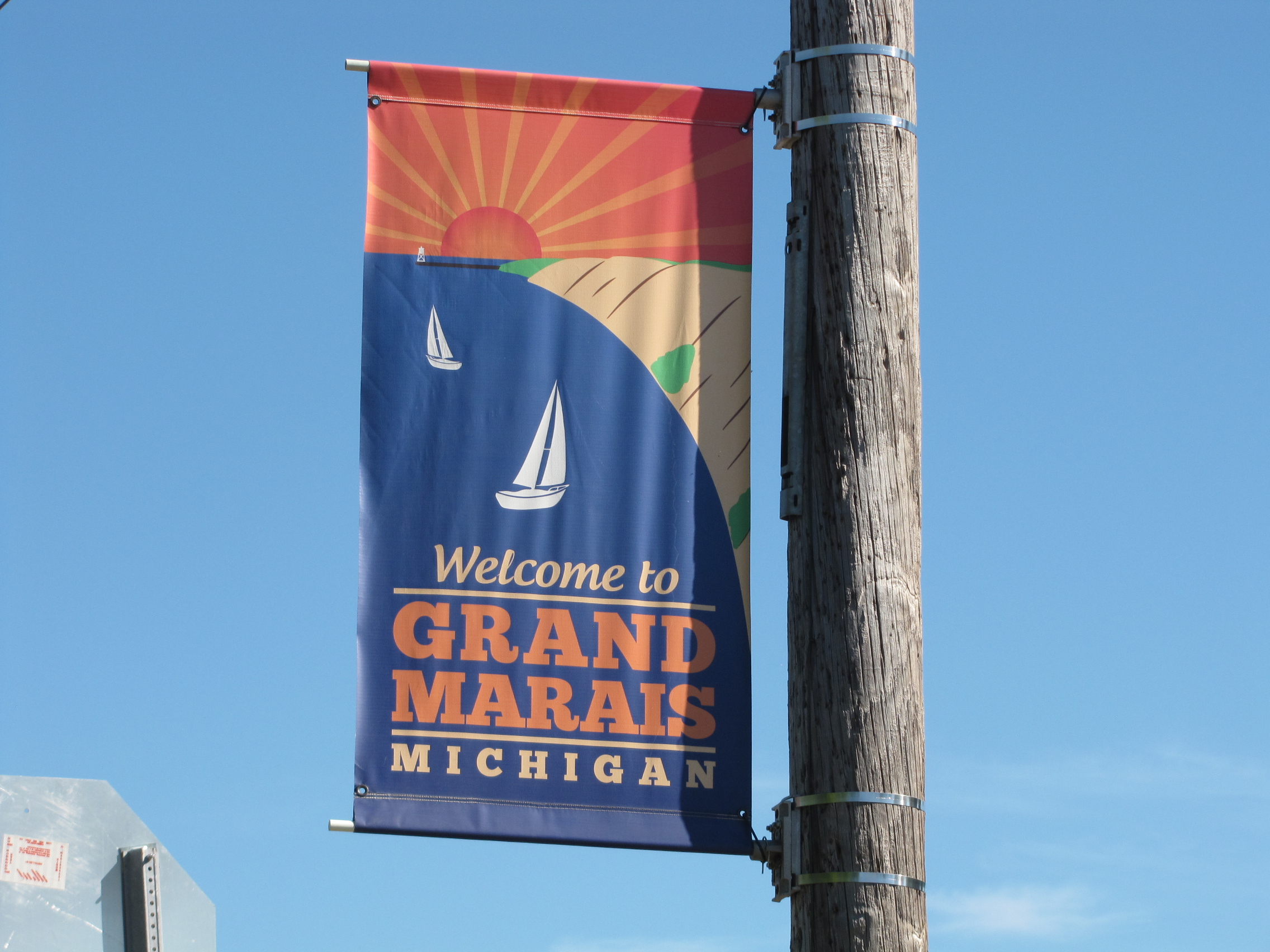
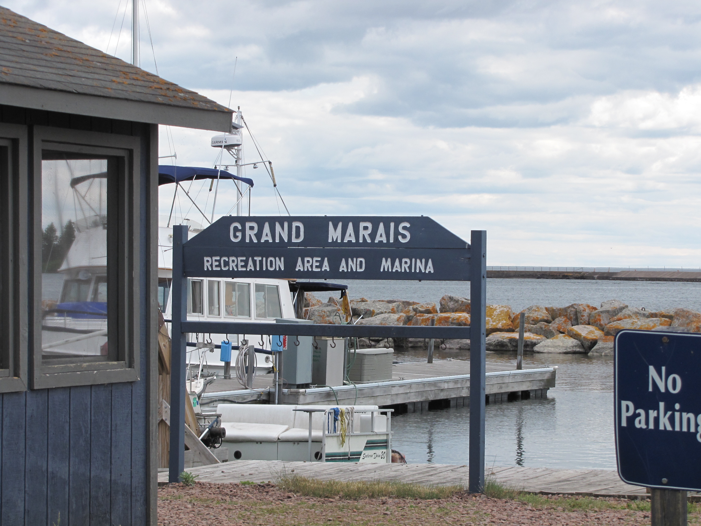
On Wednesday morning, we left  at 8:30 and proceeded  up the Minnesota coast to the Grand Marais marina, this was a 33 mile trip.  We arrived around noon, and ran into the crew from the Princess Margaret, who were getting fueled up for the next leg of their Great Loop adventure.

In the afternoon, we walked up to one of the grocery stores for a few supplies, we stopped at Dairy Queen on the way back- as it has been weeks since we last had ice cream- it wasn’t Kawartha- but it was cold and creamy.

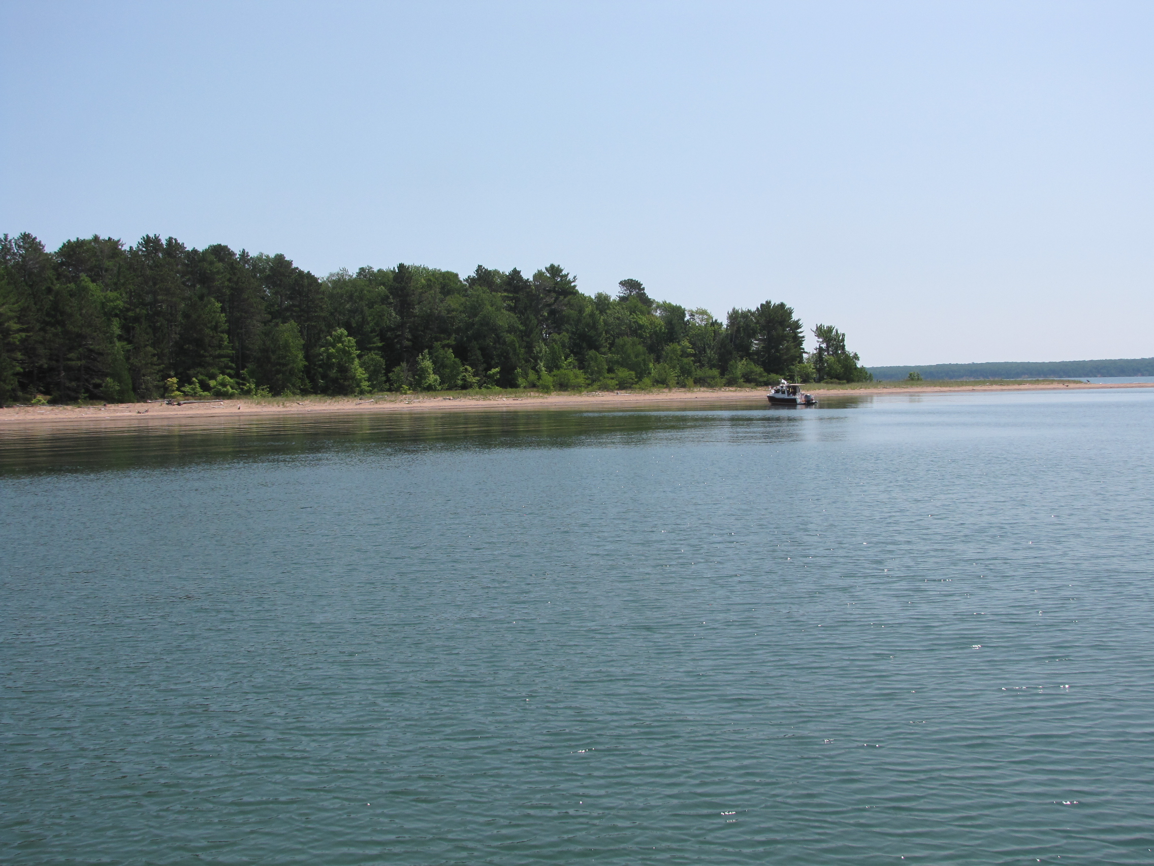
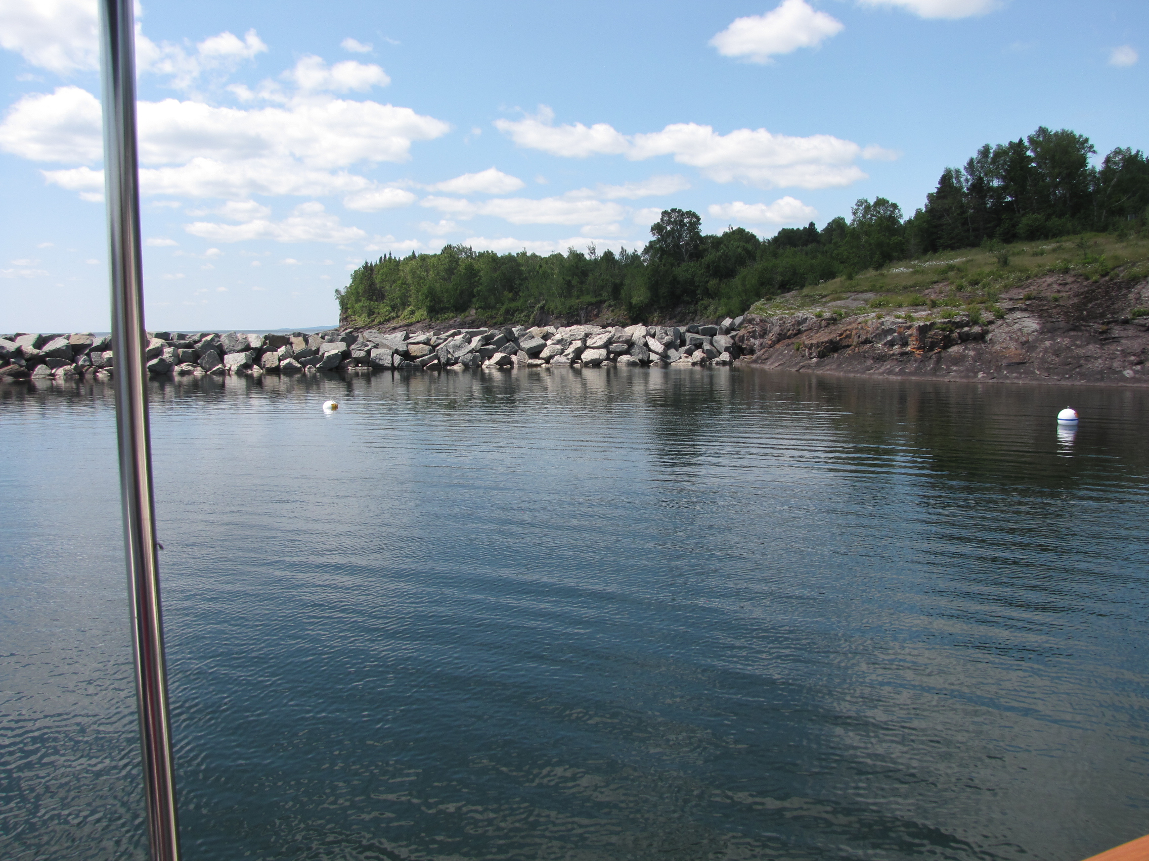
On Thursday we had originally thought we would head over to Isle Royale, however the  long term weather forecast was not favourable for this trip, as we might  not get off the island for several days in good weather.  So, we switched to Plan B- continuing up the Minnesota coast towards  Grand Portage, and ultimately the Canadian Border.  Once again because of weather, we only went 21 miles to Horseshoe Bay.  Dave at the Grand Marais marina, had told us about this new facility ( it was not in the Bonnie Dahl Superior Way reference book that we have been using for this trip).

The L-shaped dock, had an outside crib and inner dock,  because we were uncertain of the depth inside- we tied up to the outside of the crib, tying our lines around the wooden structure and lag bolts.  Even though the winds were blowing out on the lake the bay was very sheltered.

I got off the boat, and took some pictures of the site.  Several people came and talked to us by the boat—we had a long conversation with a couple from Nebraska.  In the evening, we were rocked by the swells coming off the lake, I slept OK, but the captain  slept very little.

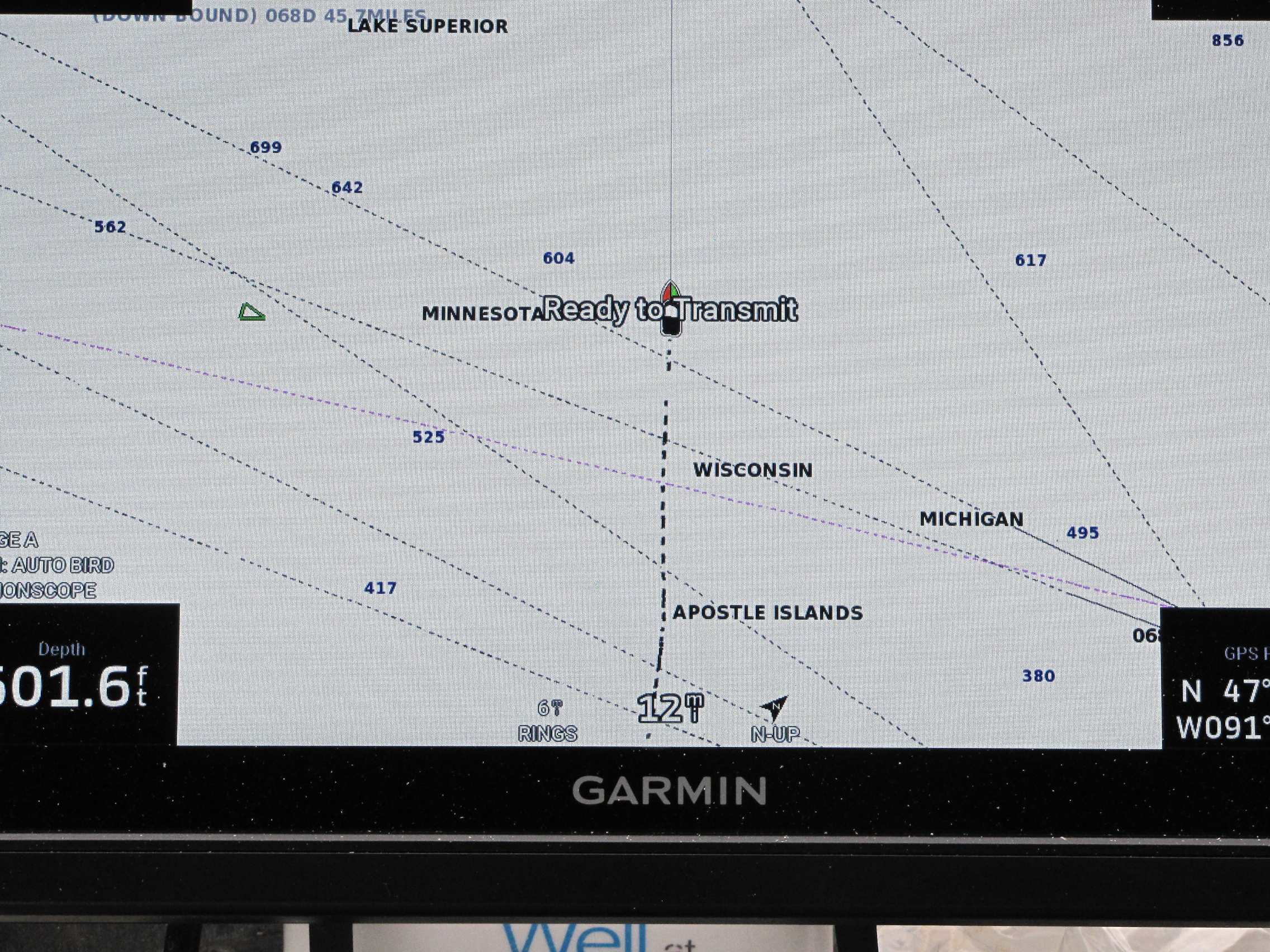
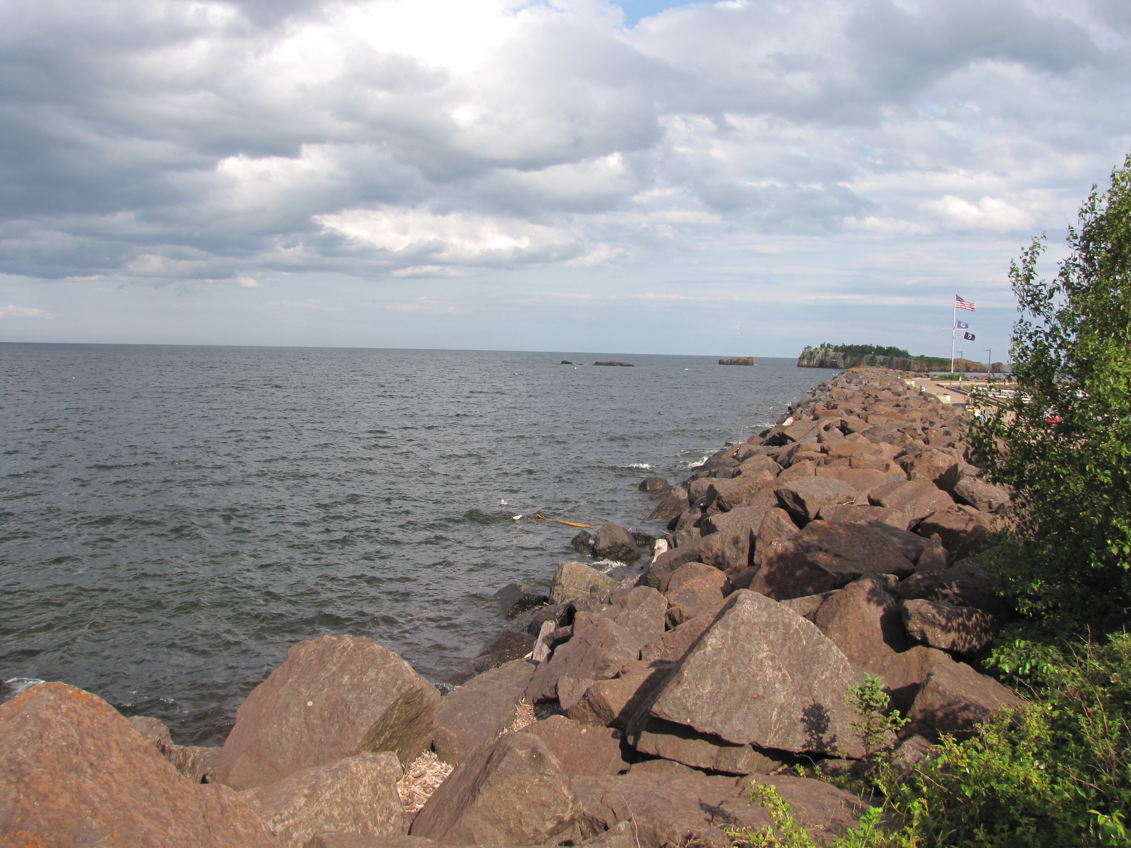
Because of a small craft warning for the area between Grand Marais and Grand Portage, we cast off just after 7:00, and continued down the coast.  We had learned that one of the marina’s in Grand Portage, was not taking transients as their dock was being rebuilt, and the marina at the Casino site only took small boats.  Andy checked the possible anchorage in the Superior Way, to find out what would have the best protection from the SW winds.  He decided on Clark Bay, so we traveled 21 miles to get there, and arrived at 9:20, and anchored in 18 feet of water.  It was a very sheltered bay-  the wind started to blow around noon, swinging us around for most of the afternoon.  The wind died down by 7:00, and we had a pleasant night at anchor.  The bay was located less than 2 miles from Canada.

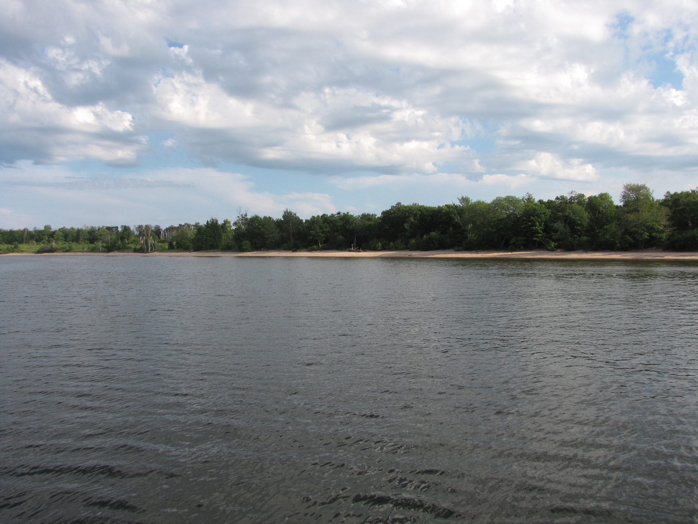
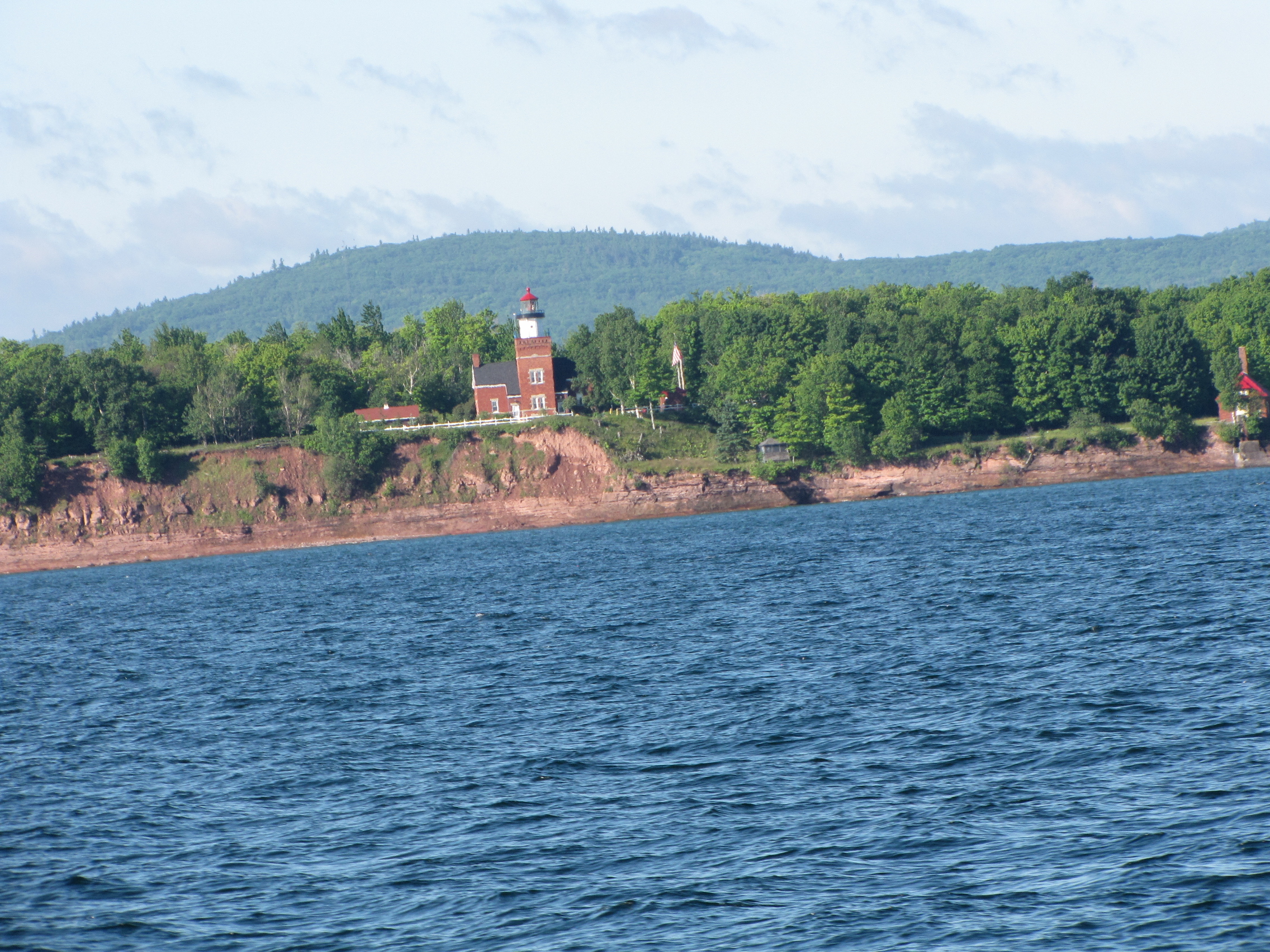
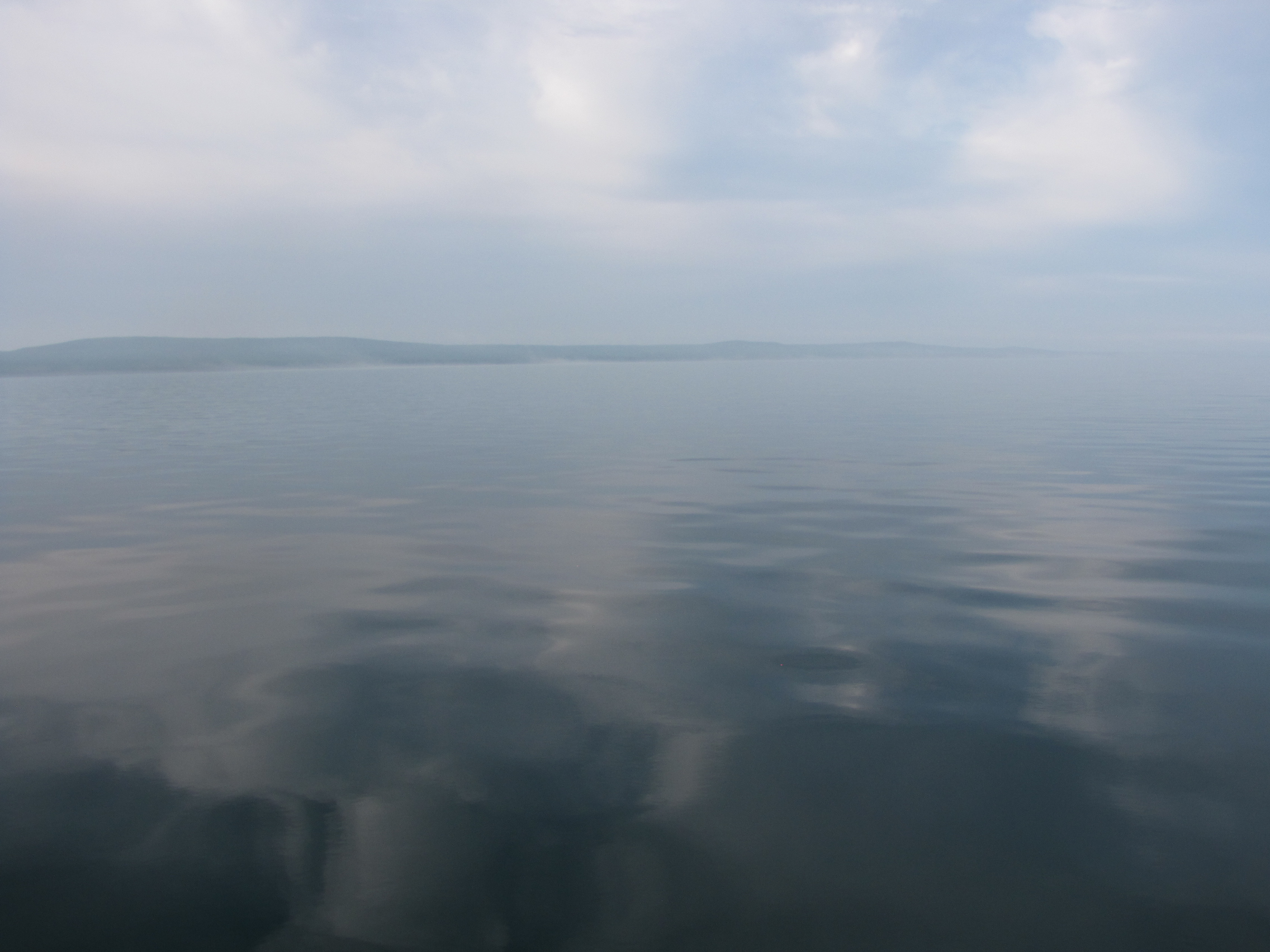
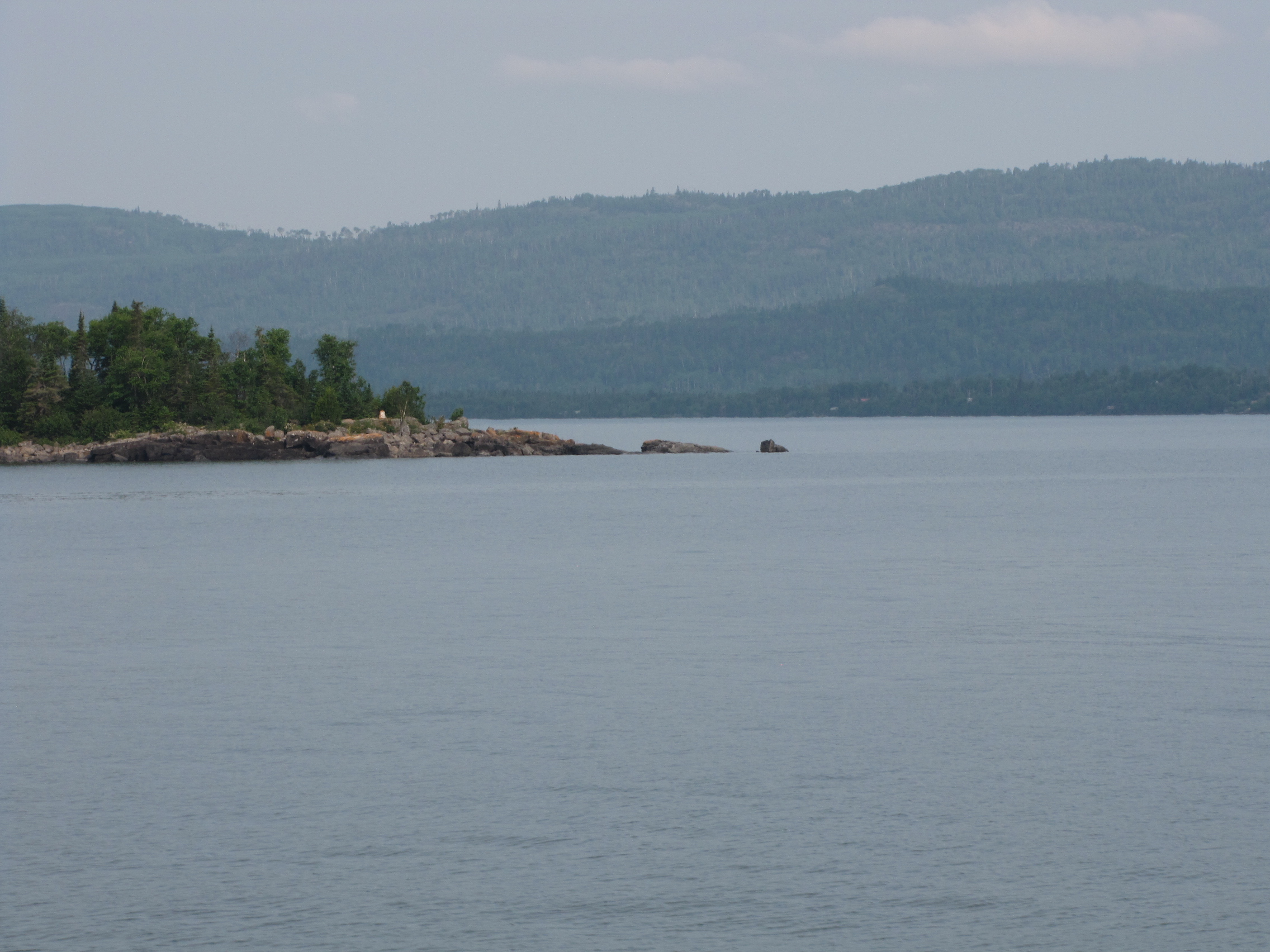
On Saturday morning, we departed Clark Bay, and went 14 miles  arriving at Little trout Bay.  We transitioned from the USA to Canada, and reverted from Central time back to Eastern.  Here’s our first view of Canadian waters, near Pigeon Point—I can’t tell the difference.

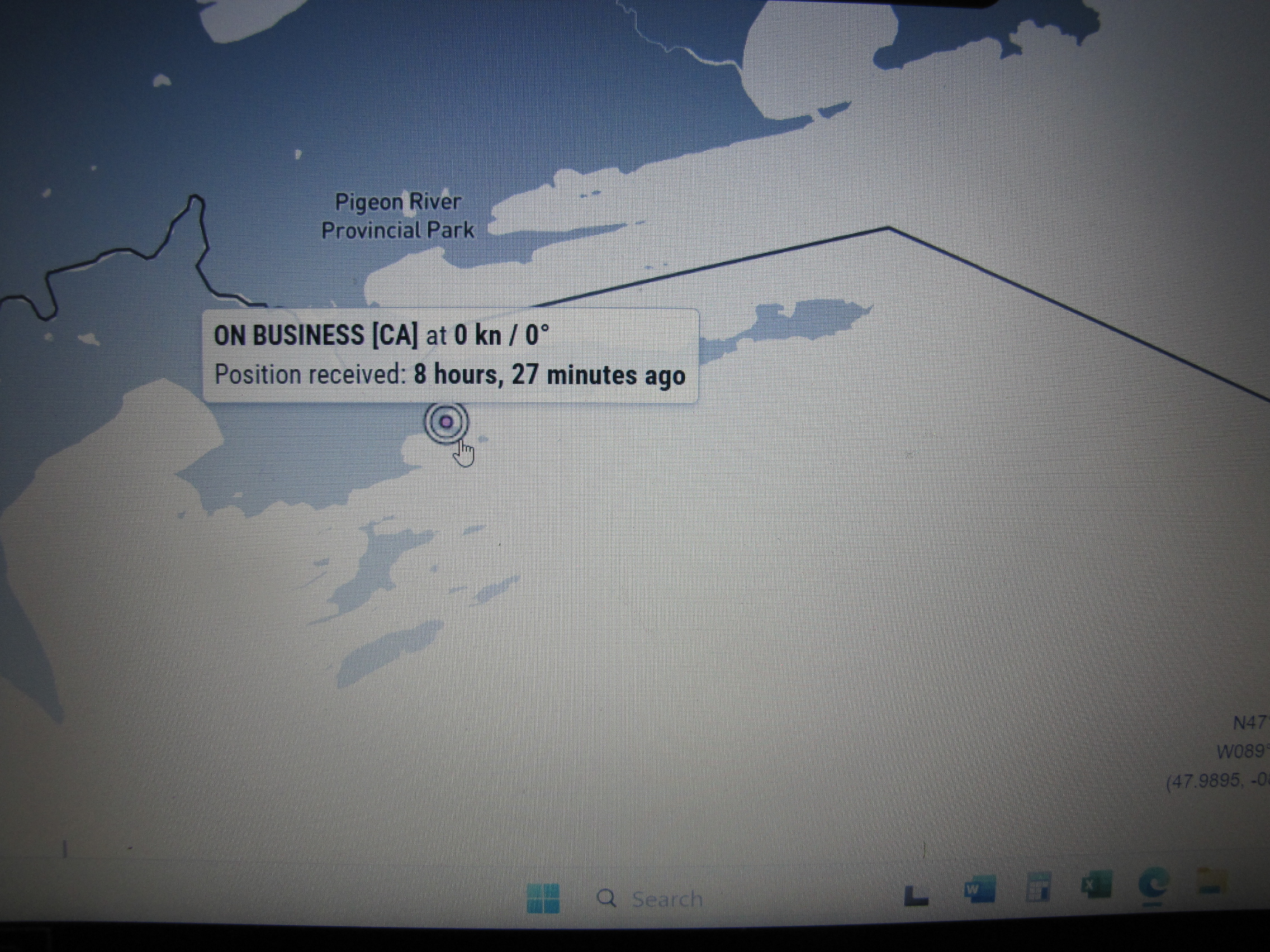
We went around the point and anchored in 15 feet of water,  it was overcast, with a slight breeze.  We called the Canadian Border Security Agency to report that we were back in Canadian waters and at anchor.  We were given a clearance number that can be used until we land in Thunder Bay, provided we don’t go ashore.

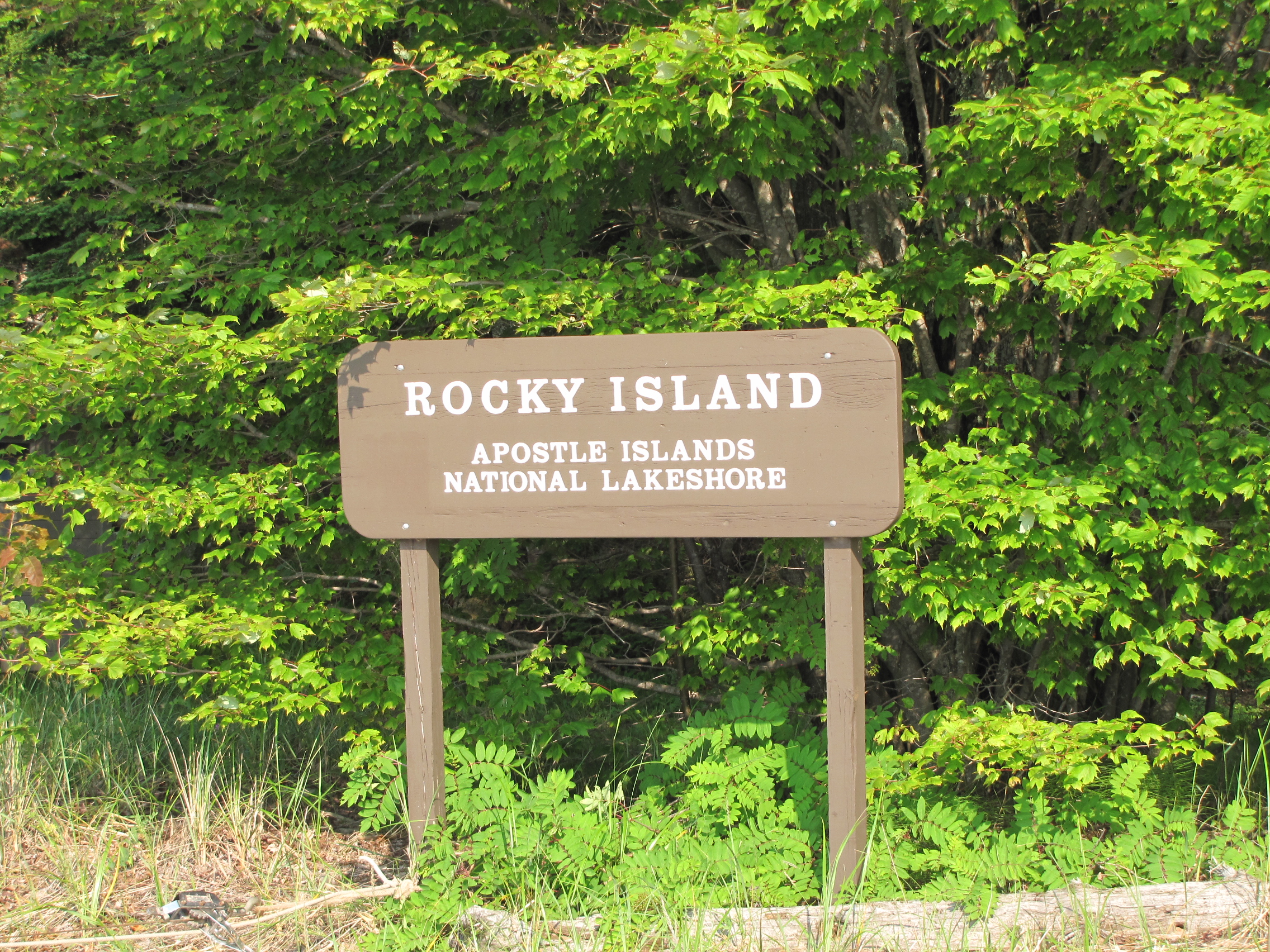
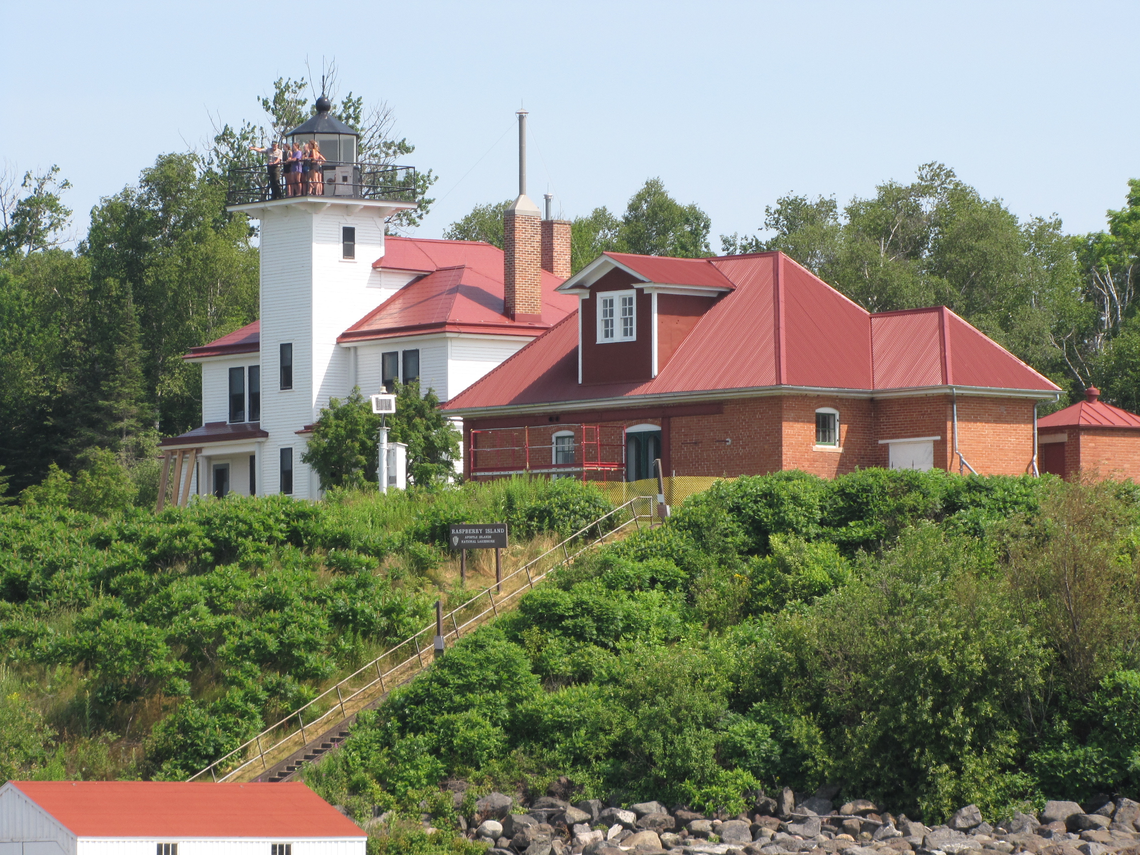
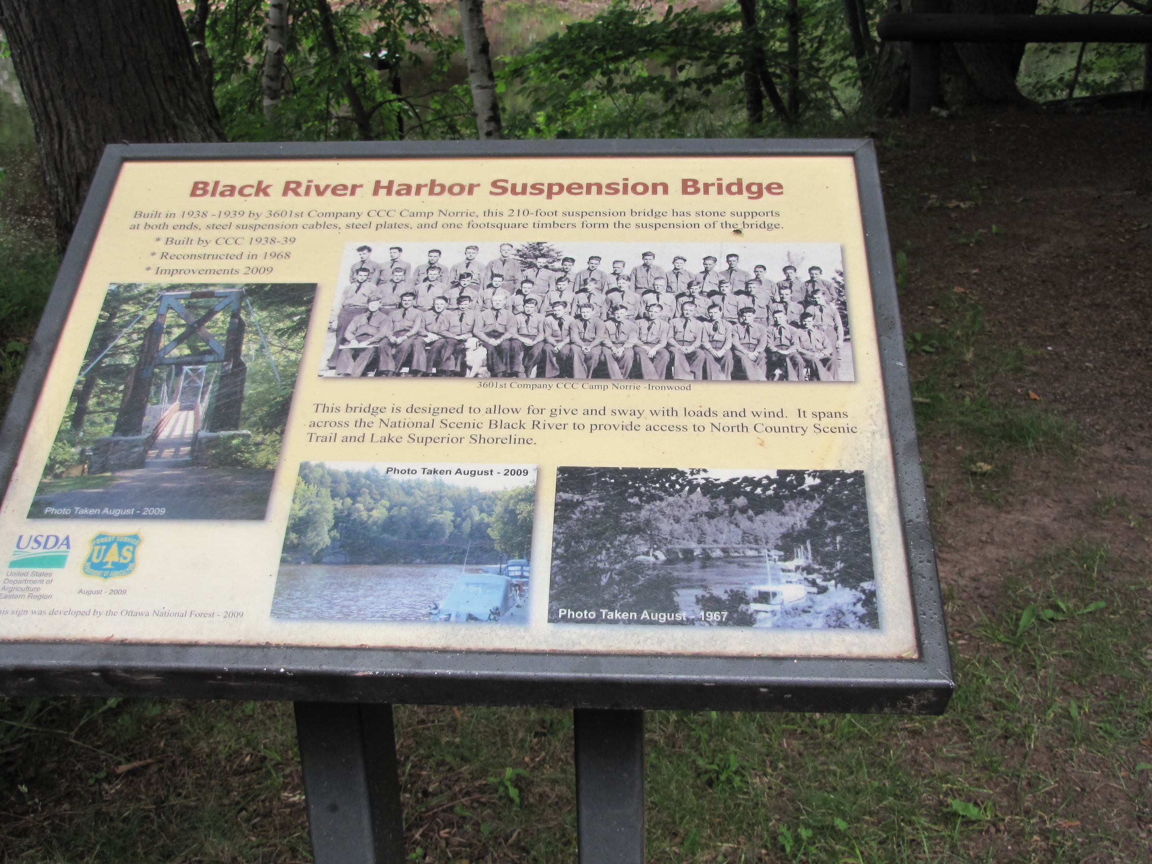
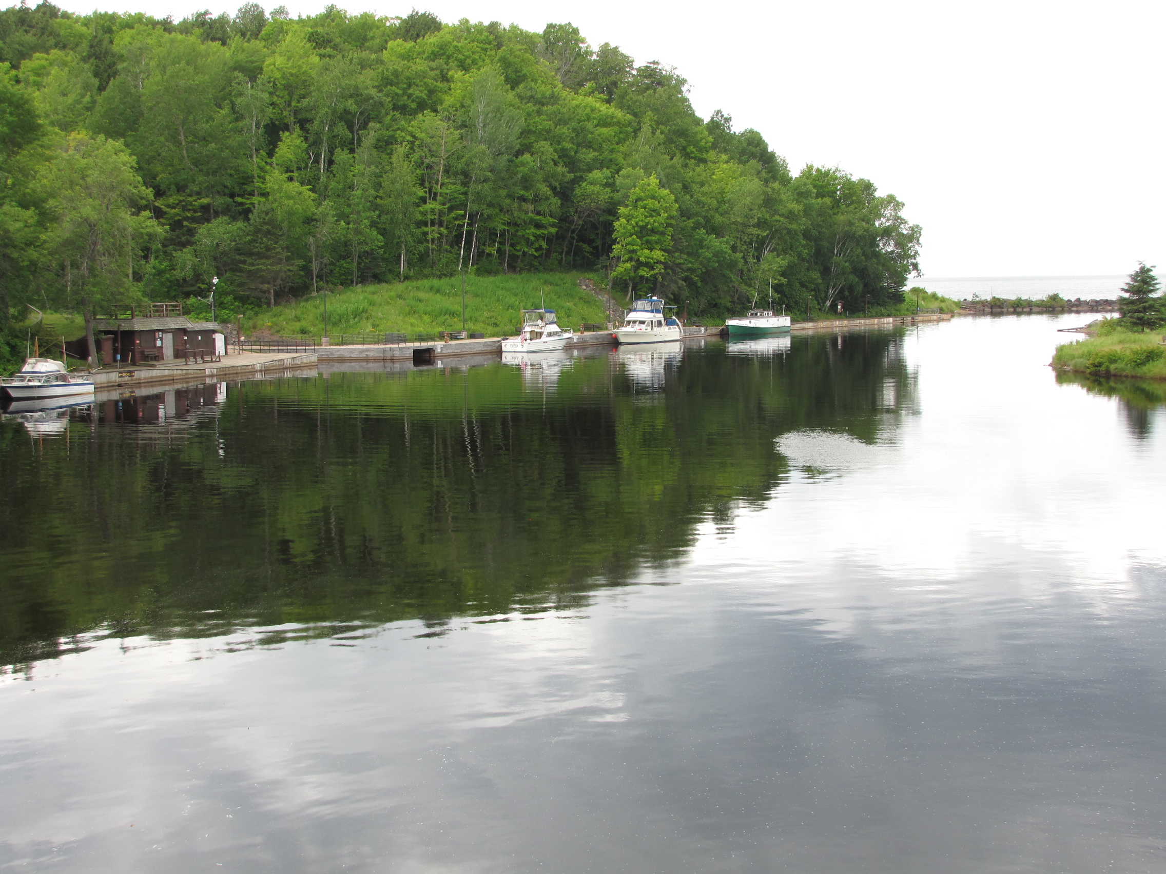
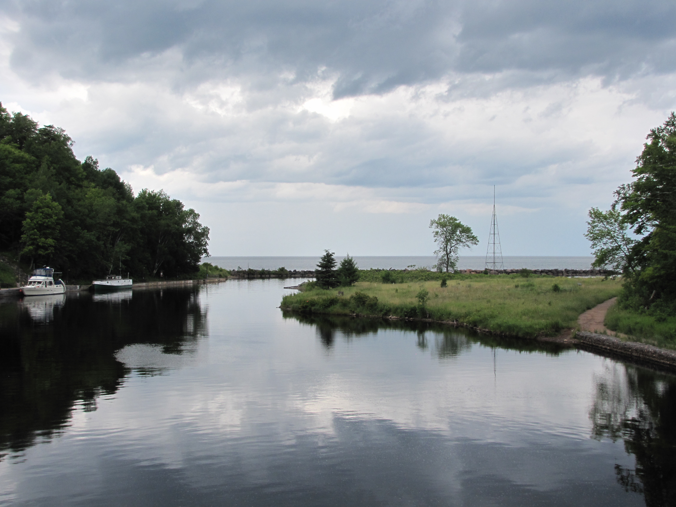
For the USA portion of our Lake Superior loop, we spent 24 night in 3 states- 10 at Marinas, 6 at Harbour of refuge (no fees),7 at  Anchor , 1 Dock in apostles islands.  We have travelled 591 miles by boat along the Michigan, Wisconsin and Minnesota coastlines. Each state was very different, the sandy beaches of Michigan and Wisconsin changed to rocks and trees in Minnesota.  We really enjoyed the Apostle islands, they remind us very much of the Parks Canada,  Thousand Islands—but less rocks, as most of the Apostles have sand bottoms.

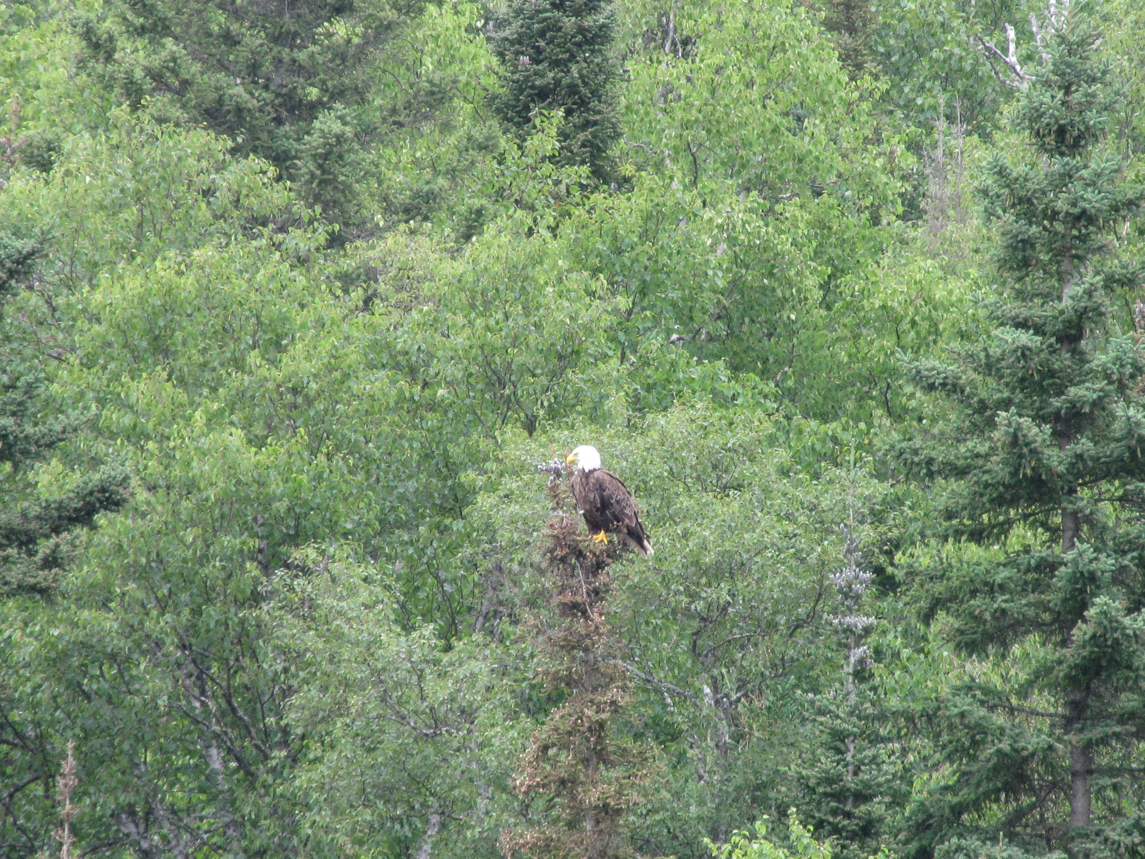
In Little Trout bay we were joined by a Loon and later in the afternoon an Eagle,  the recent sunny days are helping my tomatoes to ripen- hope to eat these before we head off to Winnipeg. On Sunday morning we left the anchorage around Noon and headed closer to TBay. We learned it is not good to anchor near a Beaver house, or where logging had occurred in the past- as we pulled a log up with our anchor.

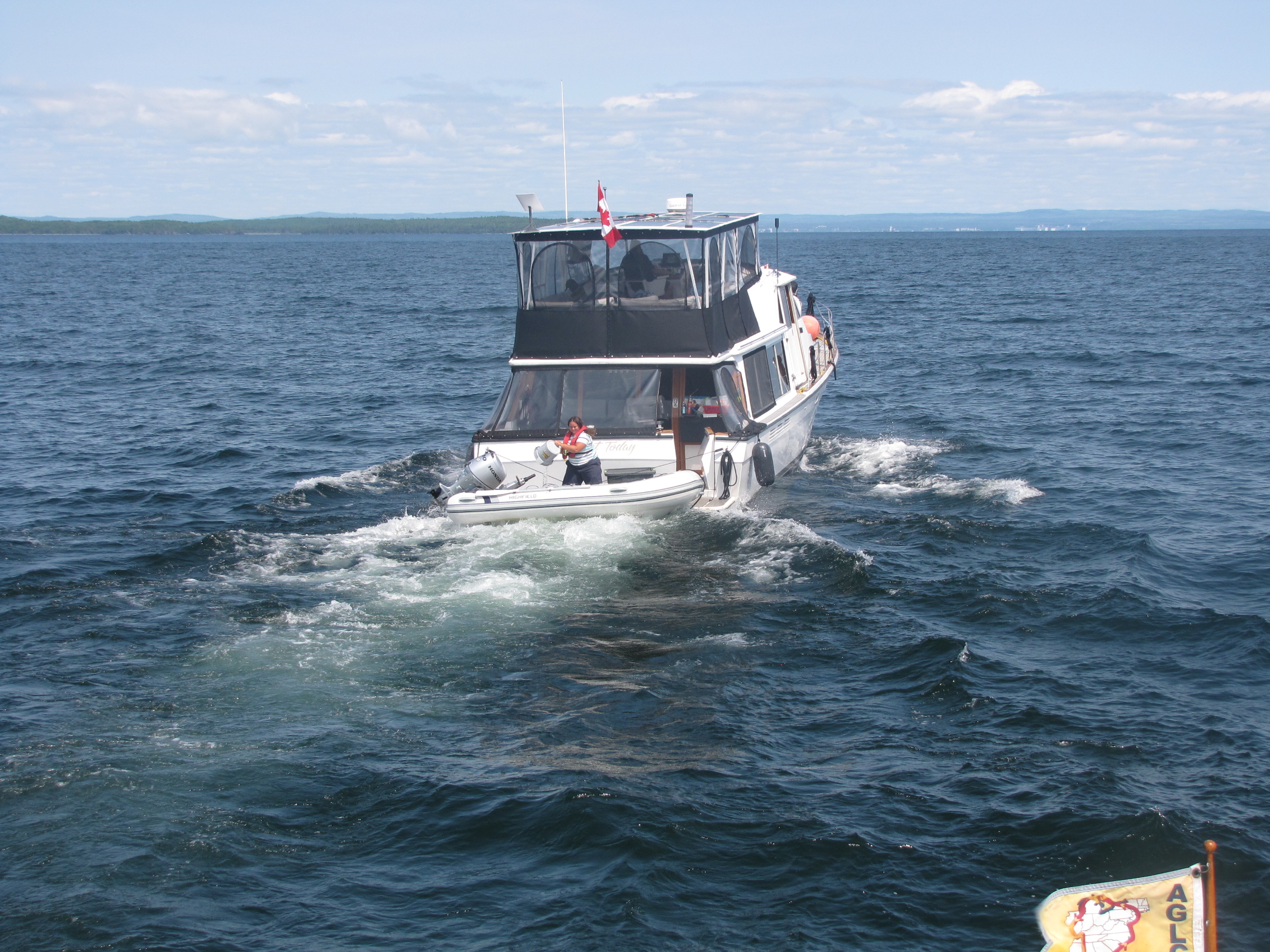
We had read about Thompson Island, were residents from TBay had set up a community in the 1970’s.  This site is in a long Bay- called Wray Bay, and has docking, a shared BBQ area, Sauna building and outhouse, and here it is OK to raft boats together.  When we arrived the only space available was too shallow for us, so one of the boats- Piper, allowed us to tie up to them.   There was a sailboat ahead of them that was going to leave in the next hour or two – so we could have their space.  Once the sailboat left, Piper moved up, and we took his space instead.  When Piper left a little later, the space was filled by Knot Today, a 50 foot Bay liner,  owned by Tim and Susie.  We later learned that Susie’s parents were some of the people that developed this site.  In talking with them further, we discovered they were planning to do the Great Loop in a few years—so they had some questions about it.  Susie had asked some questions about charts—which provided us with the opportunity to share  some of the dead weight that was taking up space in our hanging locker.  We gave them all the charts for Florida and the East coast, as we had already given the Rivers charts to Princess Margaret earlier in the week. We  went for a short hike to the rock shore on the other side of the island and spent a pleasant Sunday night on the dock.  On Monday morning 3 of the boats left, so we decided to stay one more day.  We did some cleaning and re-arranging on the boat, and started packing up stuff to take home to Winnipeg.  On Monday night the wind picked up a bit, and we had some waves in the Bay.  In the evening, we saw Tim flying a drone, so Andy pulled his out—which he had never got working, and Tim was able to figured out the software, and help him to send it on its maiden voyage.  Tim advised not to run it from the boat, only on shore.  After the boys were done playing with their toys, we partook in a Thompson Island tradition, and went for a sauna.

During the night there was some rocking and rolling, as the waves continued to pound the shore.

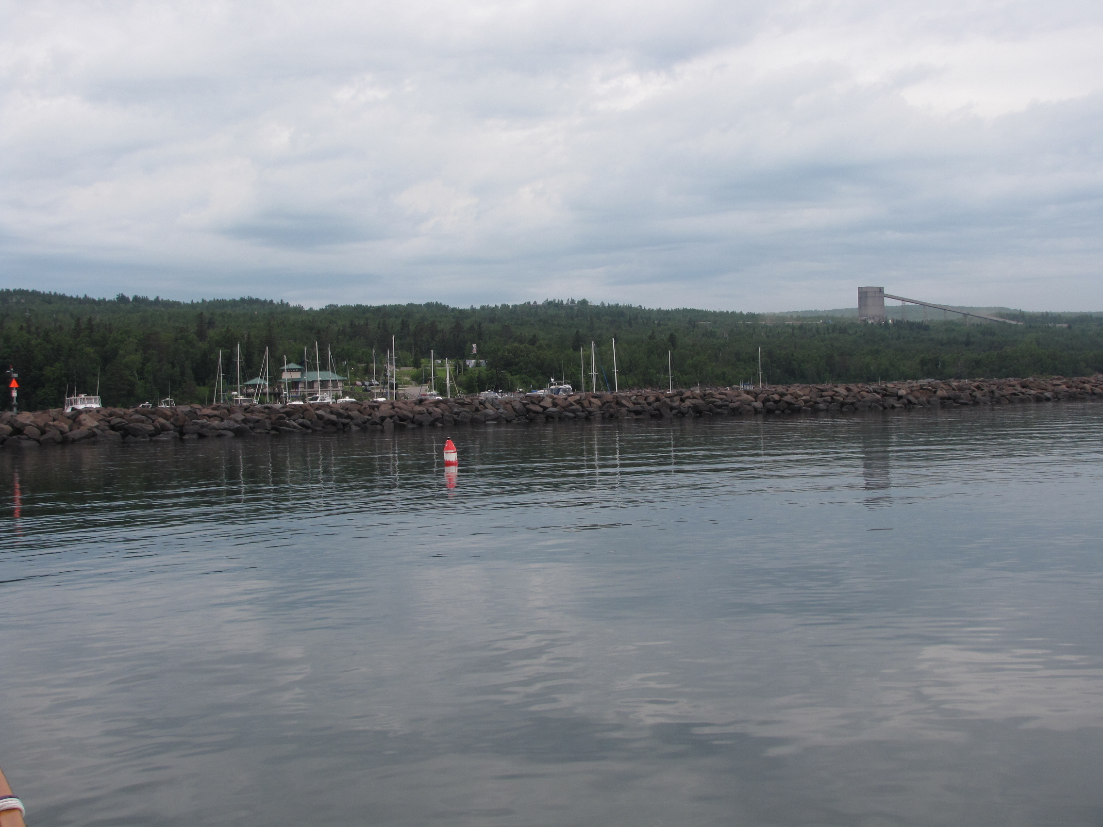
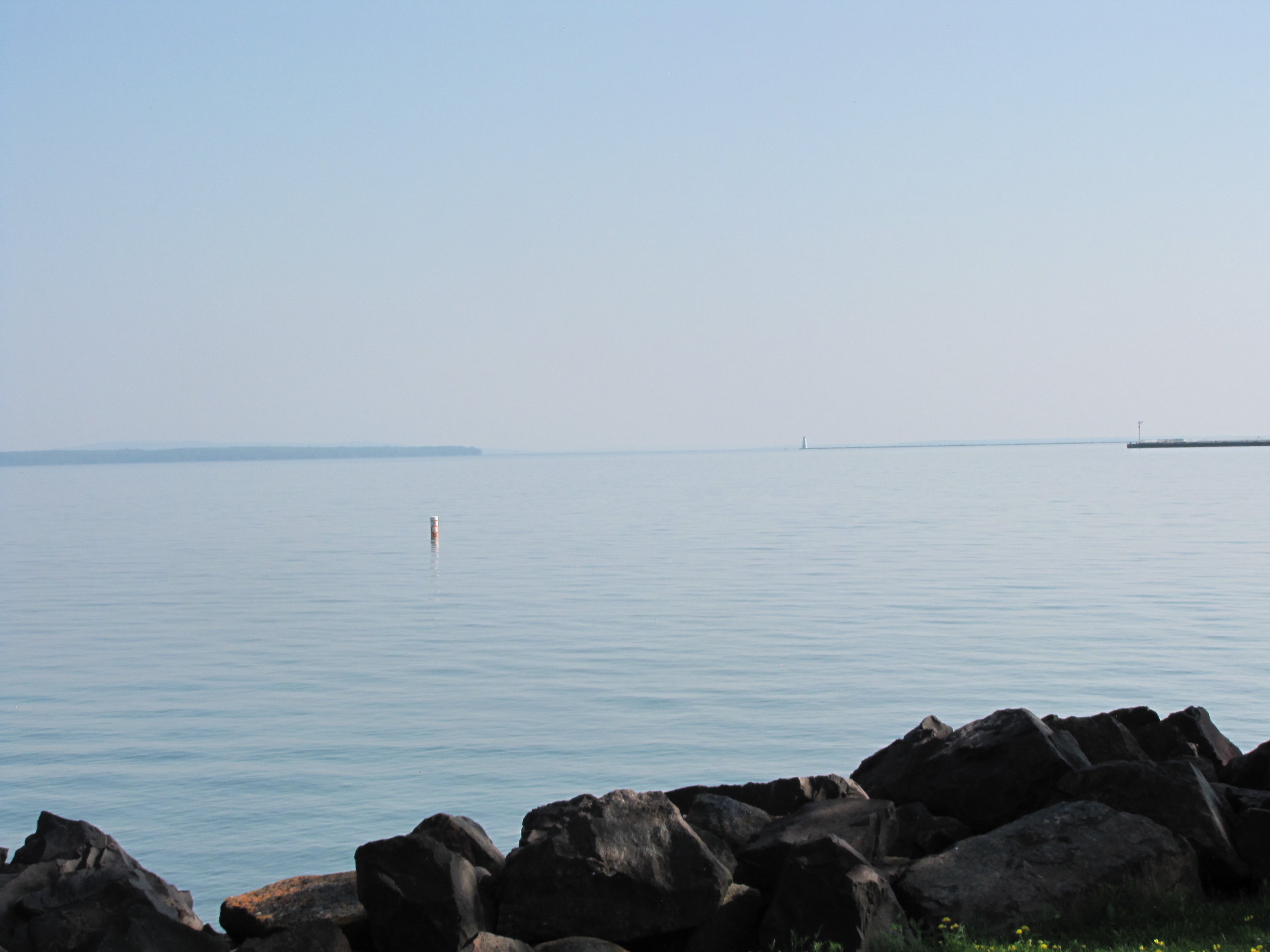
On Tuesday morning, Andy helped Tim clean up the sauna area, and then they burnt some boxes.  Just a small fire.  Around noon, it was time to take off and head to Thunder Bay, with the wind and waves, still coming from the East,  there was still some big waves out in the Bay.  We followed Knot Today, through the Thompson Island gap, and waves were a little less on the other side,  we continued on passing by Pie Island.  A couple of times, Knot Today, slowed down, so they could bail out their dinghy which was filling up with water.  As we approached Tbay, we could see the sleeping giant, once we were through the break wall, the grain elevators were all visible on shore,  many of them with names on them- that no longer exist- like Agricore United.

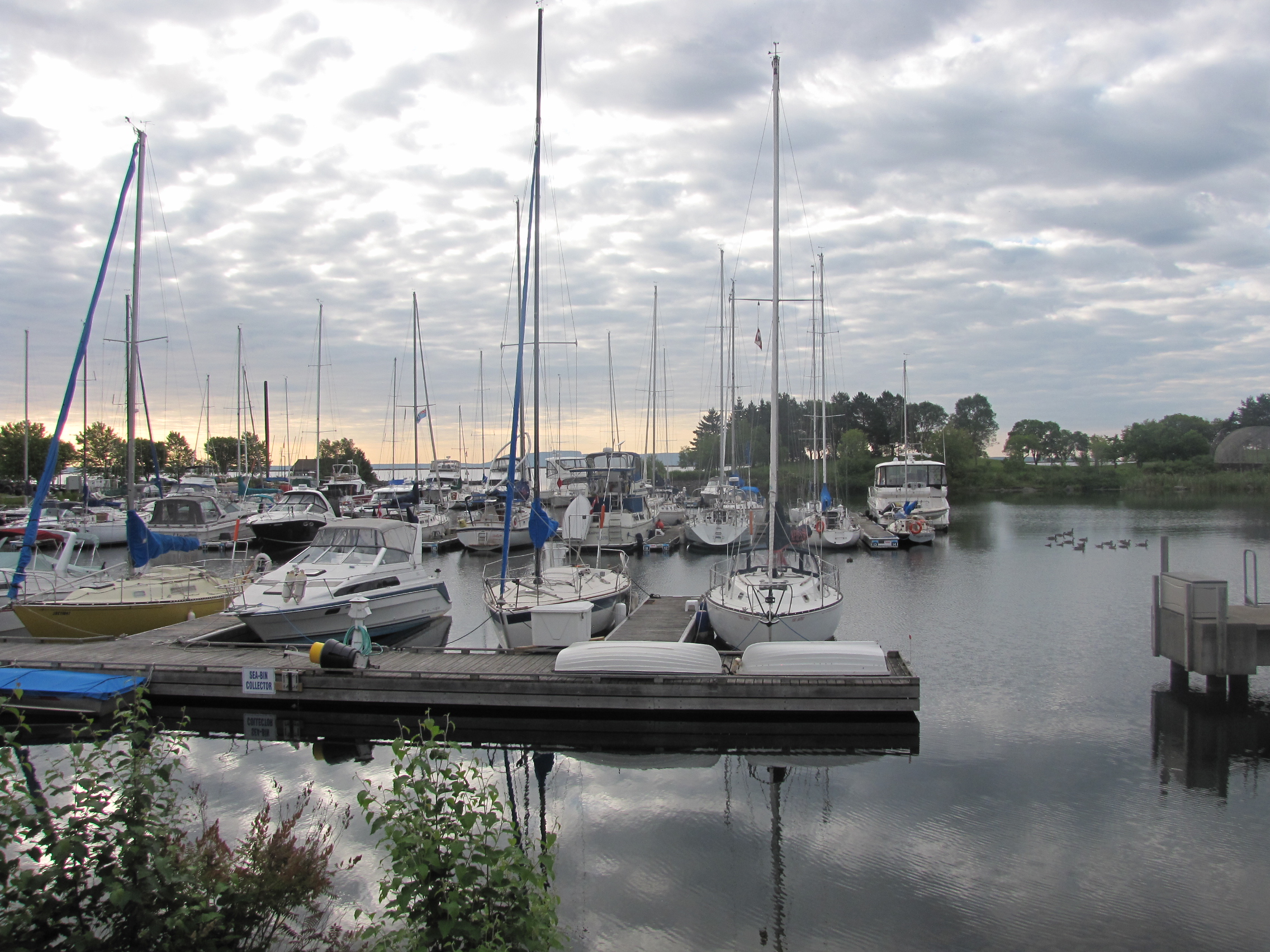
We arrived at the marina, and called in to customs again to let them know we had landed in Tbay.  The women that Andy talked to said that it wasn’t necessary to call in again, as we had on Saturday—he thanked her and hung up. We got our slip assignment, which was next to some sailboats, and we tied up and plugged in to power.  I went up to the marina office and checked out the wash machines, and later went back for a shower.

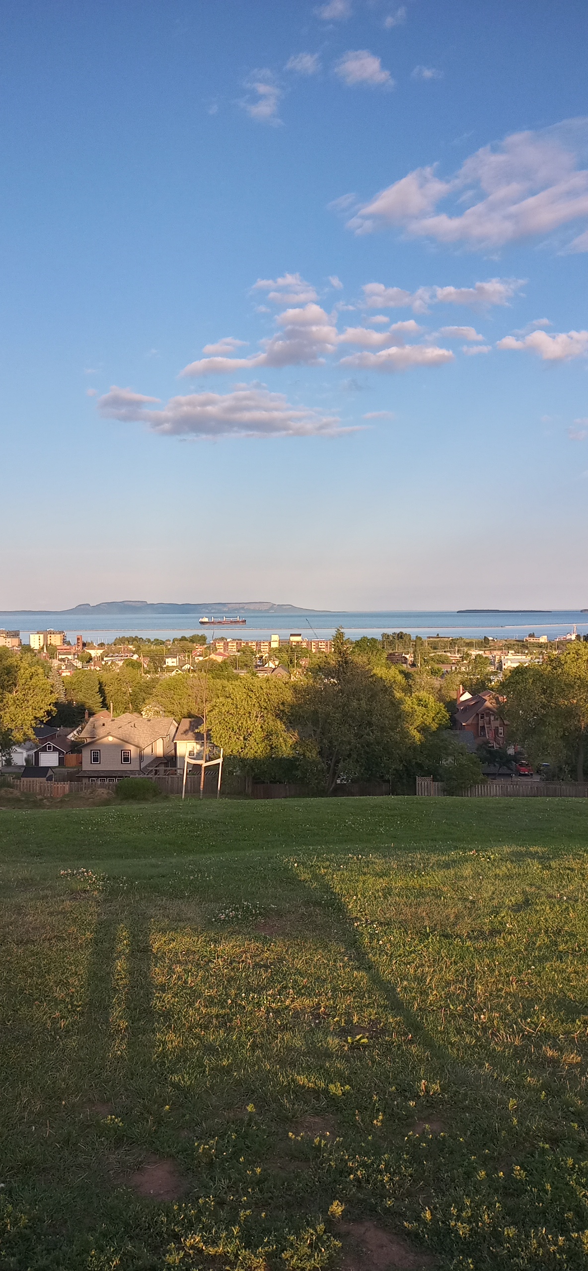
  Around 5:30, Teresa and Maureen showed up, as we were joining them for supper—the first place we tried was closed, so we went to the Thai Kitchen- where the food was very good.  They then drove us around a little and we went up to Hillside park- here’s a view of the bay and the sleeping giant.  We then went to their house, and we got to meet the pets.  We got back to the boat around 10:00.

On Wednesday morning, I did a couple loads of laundry, so I wouldn’t have to take it back to Winnipeg.  I then spent some time cleaning the outside decks, while Andy worked on his wood projects. My plan is to give the salon floor a coat of Cetol clear when we leave in the morning- so it has a week to dry and cure before we come back.

In the afternoon, Tim came and brought us a few presents- step for upper helm, fender cage, impellers, he also changed the two fuel filters, which hadn’t been done in a few years. 

Andy went and picked up our rental car from Enterprise- a Buick encore.  We went out for dinner with Tim and Susie to the Prospector steak house—great food, and the buns were amazing- just like Teresa had said the day before.

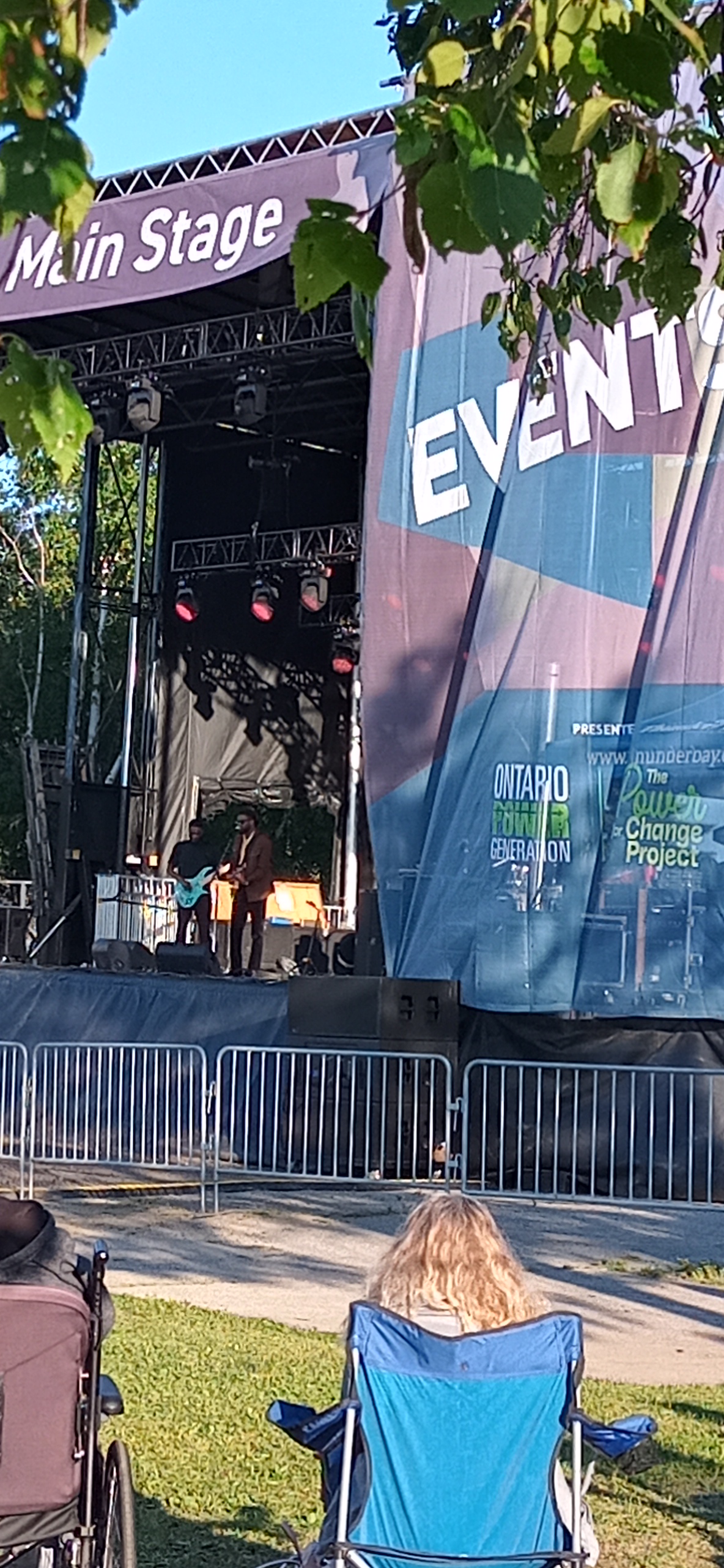
 We then walked over to the main stage in Marine park, where there was entertainment, we also stopped and had ice cream. 

On coming back to our dock, the security door was broken, so the door will be left open. We will be leaving  for Winnipeg as soon as we wake up in the morning, and the floor has its coat of Cetol.

The Apostle islands National Lakeshore

The 22 Apostle islands in Northern Wisconsin cover 24 miles.

  • The islands were gouged out by glaciers, and have smooth  sandy shores, but no natural harbours
  • All but Madeline Island, which has a marina and resort  are un-inhabited, but may have remnants of former settlements or fish camps. Several like Rocky have a few cottages, but once the lease is up they will revert to the park service.
  • Several of the islands have lighthouses,  and about 9 have national parks docks, which you can tie up to for $15/night.  There are numerous hiking trails on the islands, as well as camp grounds.
  • Depending on the wind direction and waves, there is always a place amongst the islands to anchor

Andy wanted to blog this week – so here’s the Apostle Islands , through the eyes of the Captain, I still was the designated photographer, and did add a few sentences.

Tues. July 9;   After completing our re-provisioning, we cast off from Ashland Marina to the Apostle Islands.   First stop was 17 miles away where we dropped the anchor in Sunset Cove on the west side of Madeline Island.   The light wind shifted from the east around 4:30 pm and the evening and night were calm & peaceful.

Wed. July 10;  Weighed anchor at approx. 9:45 heading for Stockton Island, said to be the most popular with boaters.   At 11:30 am, and 12 miles, we dropped the hook in Presque Bay with 8 – 10 other boats.    The Captain didn’t pick a very good spot and should have gone in closer to shore.  Although we were protected from the wind (up to 20kts) and waves from the NE. the swells coming in around the bay rocked us all night.   Did chores & worked on projects.  Twylla busied herself cleaning the deck & gunnels. 

Thur. July 11;  Weighed anchor in Presque Isle Bay at 10:00 am heading for Cat Island 10 miles away.    Dropped the anchor about 150 yards off shore, behind the sand spit on the SW corner of the island at 11:10 am.  The water is so clear with a sand bottom, that you can see the chain laying in the sand.

 We should have protection from all three elements; wind, waves and swells, assuming I got it right this time.   Twylla is back to doing her daily area scrub of the deck.   I will do the usual boat checks; oil, temp, co-ordinates, fuel, solar energy  etc.   Ahhh!!! The captain’s work is never done.

Fri. July 12;    Enjoyed a very calm night at anchor.   Slept right through from sun down to sun up at 5:30 hours.   Weighed anchor at 07:35 headed for Rocky Island.  As we rounded South Twin Island, we could see the NPS (National Park Service) dock on Rocky Island with space to tie up at the dock.    We were greeted by the NPS volunteers Gene & Kandee & treated royally.  They were so gracious that when Gene went fishing with 2 other locals, they returned and gave us 2 large lake trout fillets for supper.  Approx. three pounds of fish.   We went for a long walk along the beach and later for a swim to cool off.  Temp reached 90 deg F. today.   All -in-all a very relaxing day was had.

Sat. July 13; Left Rocky Island at approx. 09:40 hours headed for the cove on the north side of Oak Island.  Weather is calling for strong SW winds (with squalls up to 70 mph possible).   We tucked into the cove with another cruiser and 9 sailboats to wait out any potential weather event. We arrived & dropped the hook at 10:45 having gone all of 6.4 miles.    Twylla is knitting & crocheting while the captain of course has his chores.   It is close to the time we have to change the engine oil.  I will also be continuing to work on wood working projects.

Sun. July 14;  Well, the severe weather storm with potential hail & 70 mph squalls was a non event.  The lake is full of surprises, some good.   Leaving Oak Island.  We have a plan.  Spoke to Silver Bay Mn. Marina & got a slip for Monday night.   We will visit two more islands today; Raspberry & Sand Island where we will anchor for the night and head out to the west shore tomorrow.  Raspberry Island stop did not happen as the waves were crashing on the dock, and we couldn’t tie up, so we didn’t get a tour of the lighthouse.

  Shortly after passing York Island, we decided to turn back to York and anchored in the NW corner instead of going on to Sand Island. 

Mon. July 15;  Anchored at York Island last night in the NW corner for protection from the west wind.  Also, the wind was shifting to S – SE overnight.   We assumed it would shift from west to SW to S to SE.    No!  It went clockwise around the compass to N -NE- E – SE.   Spent a sleepless, rocky night.   What the lake gives, she takes away.    All-in-all, we had a great relaxing week in the Apostles and met some wonderful people. This was today’s sunrise– lovely, even though the photographer hardly slept!

   We left York Island around 8:30 today and crossed the lower part of the lake north of Duluth to Silver Bay, MN.  approximately 30 miles.

The screen shot of the lake, shows 3 states, laying claim to areas that are quite close together in Lake Superior. The photographer read that Isle Royale instead of being part of Minnesota, belongs to Michigan and these islands were gifted to them, when Michigan achieved statehood- many moons ago.

Got in & tied up before the rain & thunder showers, filled up the water and Twylla did laundry.   Met a couple who are wanting to do the Great Loop and are starting on Lake Superior going north & east along the Canadian side to the Soo.   We helped them with potential marinas, anchorages etc.    We also gave them chart books and looping guides as they really are not well prepared.    Wishing them safe travels.

 Off tomorrow for the NW coast of Minnesota, Isle Royal & back to the Great White North by the weekend.

We left Michigan behind and are now in Wisconsin

We did not leave as we had planned-the small craft warning, along with wind, waves and rain, kept us in Marquette for another day.  The staff and facilities at Cinder Pond were amazing!

On  Wednesday, our 14th Anniversary, we left shortly after 6 am, and travelled past Big Bay, the Huron islands and this lighthouse. The waves were at most 1-2 feet, but as we crossed the Keweenaw Bay, they increased slightly.  We travelled 69 miles, and reached the Portage lower entrance of the Keweenaw waterway at 1:15- a long 7 hours.  Keweenaw comes from the Ojibwe which means the crossing place. This 25 mile long waterway  cuts out  almost 100 miles, by not having to go around the Keweenaw Peninsula.

Since the next day was going to be Independence Day, we decided to stay tied up to the pier wall for a couple days.  Being near the boat launch and entrance to the canal, there was a fair bit of boat traffic.  On July 4th we could hear fireworks in the distance, but didn’t see any.  We spent the day working on projects- Andy his woodworking and me crocheting poppies, I also had book club Thursday night which I could join because of Star link. On Friday morning, it was raining off and on, so we didn’t leave the pier until just after noon.  We headed into Houghton, to go through the lift bridge—our reference books, indicated that the bridge was at 7 feet, and lifted on the hour, and half hour.  Andy contacted the bridge tender to alert him that we wanted to make the 2pm lift, and that our height with antennas and star link  was 19 feet.  He informed us that the bridge was now at a minimum level of 32 feet, so he wouldn’t need to raise it for us. 

We proceeded through and down the channel to the Lily Pond,  another pier set aside as a harbour of refuge, just before the upper entrance. We tied up using the bollards and wooden wall structure.  We were joined by a family fishing, and later by some young people that entertained us by jumping into the water ( they didn’t stay in too long) or by trying to hit golf balls across the canal.  Once again with the boat traffic and boat ramp nearby, we were rocked by many wakes.   On Saturday morning we left shortly after 7 am, and headed down the channel to Lake Superior.  The wind was fairly light and the waves less than 2 feet. We travelled 42 miles to the town of Ontonagon  arriving at 11:45. The water here is a very dark brown colour, when I asked about it, they said because of the iron in the hills, that the river brings down to the Lake.  There is a definite colour difference out in the bay leading to the lake. There were fireworks in town, that we could see from the boat. Here is the old lighthouse in Ontonagon.

We  left on Sunday morning by 7:30, and had plans to go as far as Saxon Harbour, however we encountered some storm clouds on the lake, so we entered the Black River Harbour, part of a state park.  We had tired calling the number for this harbour on Saturday, but got an office in Ironwood, that was closed until Monday.  We didn’t know if there was space, but we wanted to get off the lake.  The entrance to the harbour, had some shoals, but Andy stayed tight to starboard and we were able to get in and tie up. He did see 4 ½ feet at one point, but we had 8 feet at the dock.  We tied up on the commercial dock, because they had power, however, it kept tripping, so we relied on the sun to top up our batteries.  The first thunderstorm hit at 1:00, and we were drenched.  We helped a sailboat into the harbour around 3:00 and they tied up farther back on the dock. John was able to provide some advice on the Apostle islands, as he had just spent a month there with his family.  We had the second storm hit at about 4:00, again with thunder lightning and rain.  There was a very nice day use picnic site here, and numerous trails, there was also a suspension bridge across the Black River.

On Monday morning, Andy talked to the commercial fishing boat, for advice on leaving the harbour—he said to stick to the port side on exiting.  We left at 7:30 Eastern time , and started experiencing some light fog.  About an hour and a half into our voyage, we passed by the Porcupine mountains and finally left Michigan behind, and entered into our second state- Wisconsin, where we switched back to Central time.  The winds were light, the lake was fairly flat and the temperature were finally rising. Just the way I like it!

 The fog continued for quite awhile, and at one point, a small fishing boat at full speed, came out from a fog bank, and nearly hit us. We had our first glimpse of the Apostle Islands, passing by the south end of Madeline. We called the Marina in Ashland, to find out if they had a slip for us, and we proceeded down Chequamegon Bay for over 2 hours to reach it.  We filled up with fuel, water and got pumped out.  We walked up to the grocery store to re-provision, and in the afternoon, the marina staff gave me a ride to the laundry.  I had to walk back which was almost a mile.   In the evening, we walked over to a nearby Chinese food restaurant and then to the Liquor

Today, July 9th –we are off to the Apostle Islands, not sure how many of the 22 islands we will stay at– but will likely see them all.

Lake Superior Adventure -south shore

So, we are going to the lake that the Ojibwe call Gitche Gumee, which means big sea or huge water. Here’s a few facts:

  • Lake Superior contains 10% of the planet’s fresh surface water.
  • It is the largest freshwater lake in the world by surface area.
  • It covers 82,000 sq km (31,700 sq mi) with an average depth of 147 metres or 483 feet.
  • The deepest point in the lake is 405 metres or 1,333 feet.
  • There have been about 350 shipwrecks  recorded in Lake Superior and Lake Superior is known to never give up her dead.
  • Some of the world’s oldest rocks, formed 2.7 billion years ago can be found on the Ontario shore
  • The lake rarely freezes over completely. The average temp of the Lake is  2 C.

Why are we doing this trip?  It is on Andy’s bucket list, as he was born on the north shore of Lake SuperiorWe had a sampling of the Lake in 2019, when we went as far as Marathon on the Canadian shore. 

Andy called the Border patrol agent at 6:00a.m., and we made an appointment to meet them at George Kemp marina at 7:15.  So Andy started the engines at 6:50, and we left Canada and entered the state of Michigan in the  U.S.A.  The border patrol person looked at our passports, asked some questions about the boat.  He said I could keep my garden, but in future no plants can be brought into the U.S.A. I was happy about this as I have several cherry tomatoes that are getting quite big. After the patrol agent left, Andy called the lockmaster to request locking.  He replied that the McArthur  lock was ready, so we hustled over there, and immediately  got the green light,  entered the lock and two lines were thrown down to us.  We were joined by a work boat.

  We were out of the lock by 8:00, and then followed the channel markers to leave the Soo.  The winds were light, as were the waves, as we were sheltered in the channel.  Once we got into Whitefish bay, the waves increased, as did the wind.  Around noon we made it to Whitefish Point harbour, The area can only be described as rustic—wooden docks with cleats and posts, and not in great repair.  Many of the eight slips were occupied by fishing boats—we tied up in slip 5.  We are now in the U.P. Upper Peninsula of Michigan. 

In the afternoon, we walked about a mile to the Great Lakes Shipwreck Museum.  We walked around the grounds, and checked out the lighthouse keeper’s house.  The lighthouse at this location has been operating since 1861, one of the oldest lighthouses on Lake Superior. We also watched a video on the Edmond Fitzgerald sinking, which we both found to be very interesting. The Edmond Fitzgerald wreck was found  about 17 miles from Whitefish point. More than 300 ships have sunk in Lake Superior, more than 100 near  Whitefish Bay, or along  the shipwreck coast, which runs from whitefish point to grand Marais.  In  the museum Shipwreck gallery, there was the stories for more than a dozen ships and their fate.  The original Edmund Fitzgerald bell is also on display here. We were told that more than 100,00 people visit this site each year.

We left Whitefish point at 7:45, waves didn’t seem to be too bad, until we turned past the point, and started following the shipwreck coast.  Waves were about 2 foot plus, but it was the swells that kept hitting us, that were torture.  The depth running a few miles out from shore, varied from 60 feet to 300 feet, and with the wind blowing, we were both freezing.   

After a few hours of the swells hitting the boat,  the Admiral and her morning coffee parted ways.  We arrived in Grand Marais, 6 hours after departing, and had gone 52 miles.  We tied up at the Burt Township Marina, and relaxed.  For supper we walked into Grand Marais and stopped at the Lake Superior Brewing company,  I had a Blueberry wheat beer and Andy tried the Granite Brown.  Very good as was the  food. We met the crew on the R/V David Boyd, shipwreck museum  research boat back at the marina, as they had come in from Copper Harbour, where they had been doing some diving at a wreck site.  Interesting Marina, they also have a fish cleaning station here, and boat launch, which starts getting busy before 6am.

On Friday morning, we got up and learned that a small craft warning was being issued for our area, and that rain would start in the early afternoon.  We decided to leave immediately, staying close to shore, where the waves would be in the 2 foot range.  We passed by the Grand Sable dunes, that ran for miles outside of Grand Marais, we then went by the au sable light station, which was built in 1874 and is 86 feet tall.  After a couple  hours we could see the beginning of the Pictured rocks. These rocks are brilliantly colored sandstone, cliffs, sea caves as well as beaches. 

We  travelled along the east side of Grand Island, and were sheltered a little from the winds.  We arrived at Bayshore Marina in Munising at 11:15, and happily tied up.  At the marina there are a number of tour boats, some taking people to the pictured rocks, or glass bottom boats that take you on a shipwreck tour.  Busy place.   By 2:00, the rain had started, the wind picked up and thick fog rolled in so that Grand Island was no longer visible.  In the evening, we added an additional line to the boat, as the wind was continuing to increase.

In the morning, it was very calm, and we contemplated leaving, however we had read that Munising harbour is very sheltered because of the size of Grand Island, and it can give a false sense of what the conditions are on the lake.  We decided to stay put for the day, and walked up to the dollar store, which was nearby looking for some provisions. Andy worked on some of his wood projects, and I did some cleaning.

During the morning a small craft warning was issued that expires Sunday morning at 10AM. Northwest winds 15 to 25 kt with gusts to 30 Kt (>55Km/hr) and waves of 5 to 8 feet are  expected, as well a Beach warning was issued – dangerous swimming conditions are expected due to high wave action and strong rip currents.  We may have missed this weather- if we had left at 6AM  but I’m glad we didn’t find out.  The sun shone for most of the morning, and winds in the harbour were light. We had a squall go through at 2 pm, and followed by some fog.  The winds started to pick up around 5PM and blew all night.  We put all our fenders on the starboard side of the boat, to keep us from banging into the dock.  With the wind howling, and the continuous banging, neither of us slept much.

There was a Marathon going on in Munising on Sunday morning, and the start and finish line was at the marina, so we saw lots of people participating.  Around 2 pm, when the waves had died down, we left the dock and went about 5 miles to Murray Bay near Grand Island and anchored.  It was relatively calm, except for when the tour boats came by  to look at a shipwreck which was near Muskrat point.  The sun was shining and we had very little wind.  I decided because of all the beating that our fenders had taken over night, that I should likely pump them up and changed their covers.

In the morning, we woke up to single digit temperature—very cool on the boat, as our hull is in water that is likely in the single digits as well. We had a peaceful night.  The lake was calm, and we departed for Marquette at 8 am.  I crocheted a couple of poppies enroute.  We arrived at Cinder Pond marina at 12:30 and tied up, having gone 39 miles.  I did some laundry and then we walked to the Marquette Coop to buy a few things, enroute, we met a couple, who actually gave us a ride to the store, so we only had to walk the mile back.   Andy called the next marina to book a slip for tomorrow, and to find out the depth, as we had read that it was prone to silting in.  The person he talked to couldn’t answer either of those questions, we will likely take our chances and go there early in the morning, as the winds are supposed to pick up near noon. We want to keep moving as getting a slip during the July 4th holiday weekend, will be next to impossible. Lake Superior’s weather/waves have not been to our liking– hope we get more weather like we had today! Happy Canada Day Everyone!