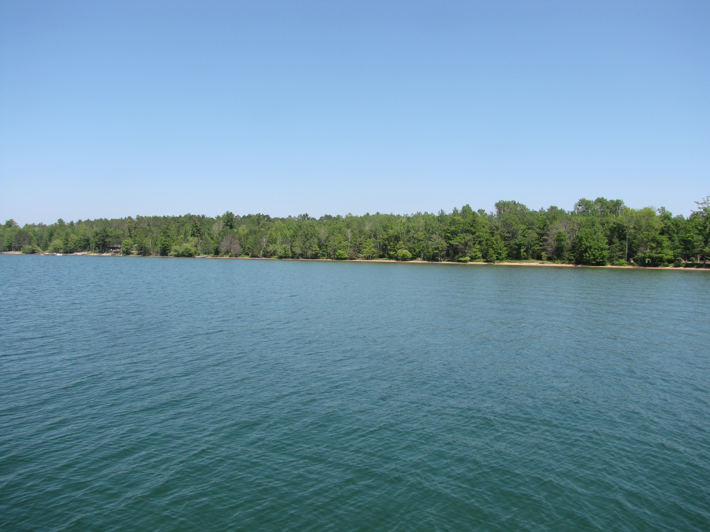
The 22 Apostle islands in Northern Wisconsin cover 24 miles.
- The islands were gouged out by glaciers, and have smooth sandy shores, but no natural harbours
- All but Madeline Island, which has a marina and resort are un-inhabited, but may have remnants of former settlements or fish camps. Several like Rocky have a few cottages, but once the lease is up they will revert to the park service.
- Several of the islands have lighthouses, and about 9 have national parks docks, which you can tie up to for $15/night. There are numerous hiking trails on the islands, as well as camp grounds.
- Depending on the wind direction and waves, there is always a place amongst the islands to anchor
Andy wanted to blog this week – so here’s the Apostle Islands , through the eyes of the Captain, I still was the designated photographer, and did add a few sentences.
Tues. July 9; After completing our re-provisioning, we cast off from Ashland Marina to the Apostle Islands. First stop was 17 miles away where we dropped the anchor in Sunset Cove on the west side of Madeline Island. The light wind shifted from the east around 4:30 pm and the evening and night were calm & peaceful.
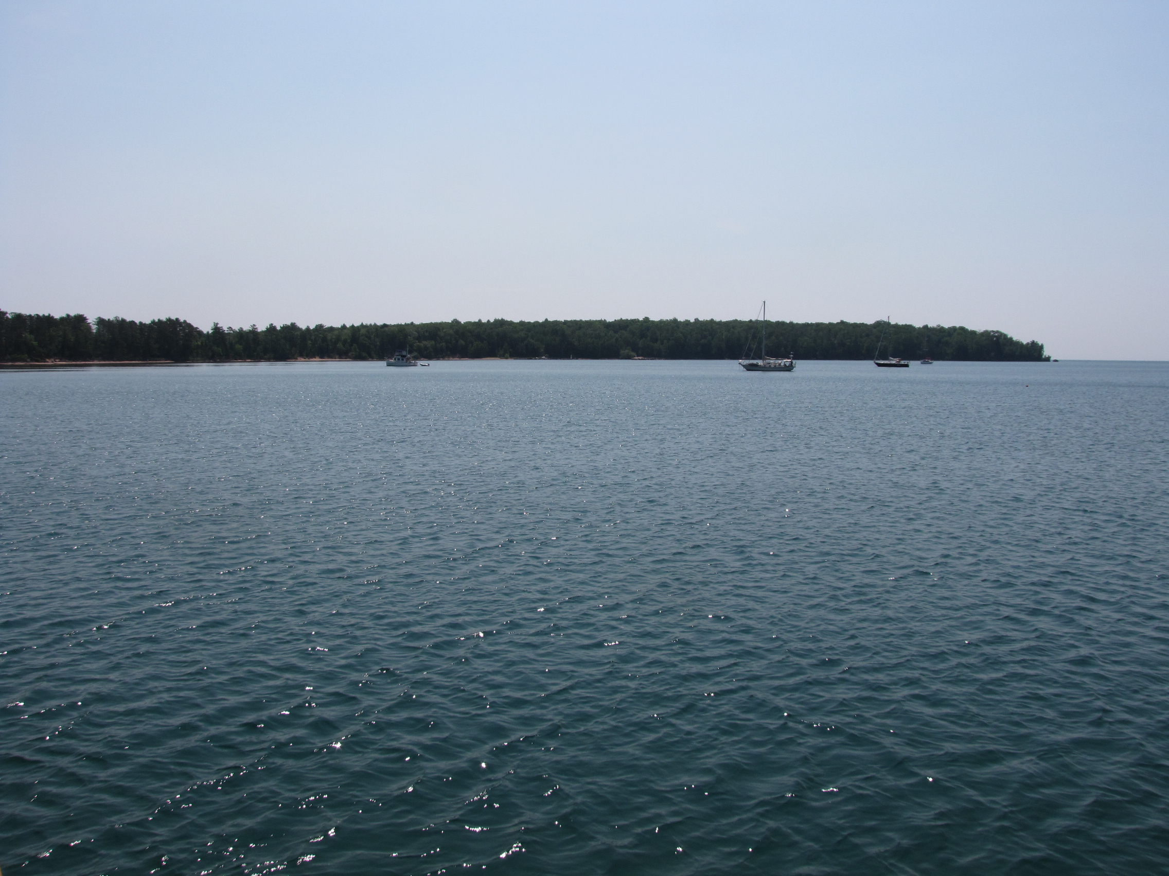
Wed. July 10; Weighed anchor at approx. 9:45 heading for Stockton Island, said to be the most popular with boaters. At 11:30 am, and 12 miles, we dropped the hook in Presque Bay with 8 – 10 other boats. The Captain didn’t pick a very good spot and should have gone in closer to shore. Although we were protected from the wind (up to 20kts) and waves from the NE. the swells coming in around the bay rocked us all night. Did chores & worked on projects. Twylla busied herself cleaning the deck & gunnels.

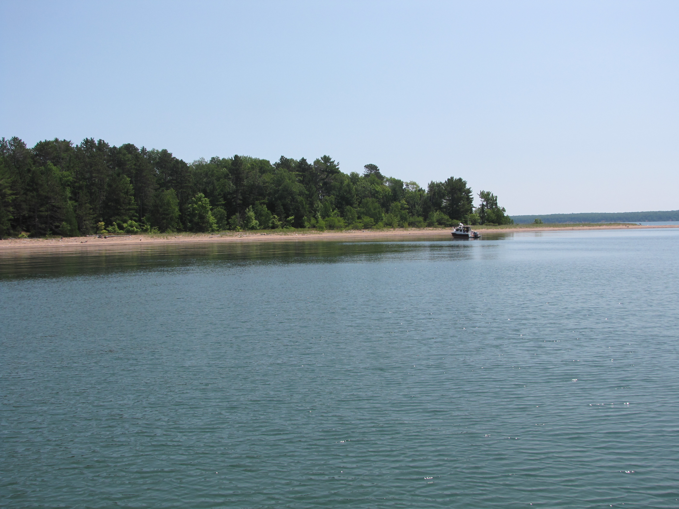
Thur. July 11; Weighed anchor in Presque Isle Bay at 10:00 am heading for Cat Island 10 miles away. Dropped the anchor about 150 yards off shore, behind the sand spit on the SW corner of the island at 11:10 am. The water is so clear with a sand bottom, that you can see the chain laying in the sand.
We should have protection from all three elements; wind, waves and swells, assuming I got it right this time. Twylla is back to doing her daily area scrub of the deck. I will do the usual boat checks; oil, temp, co-ordinates, fuel, solar energy etc. Ahhh!!! The captain’s work is never done.
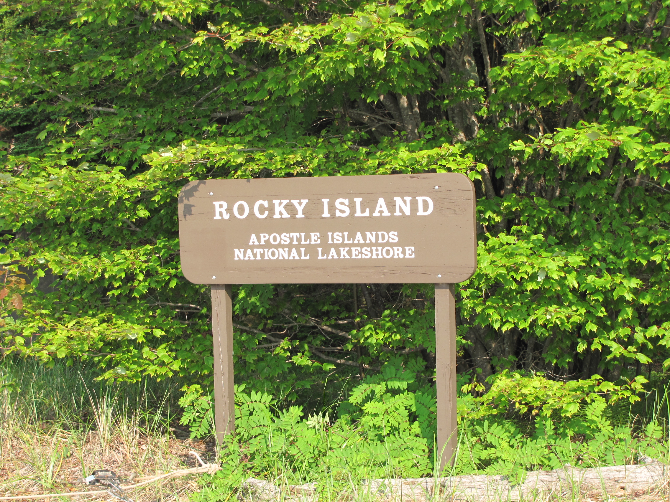
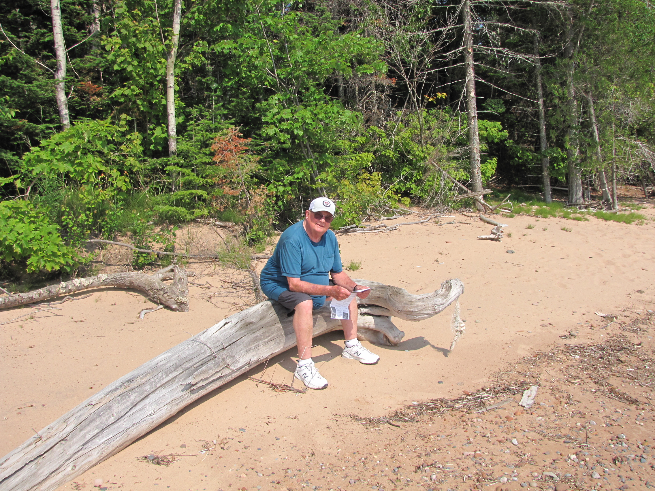
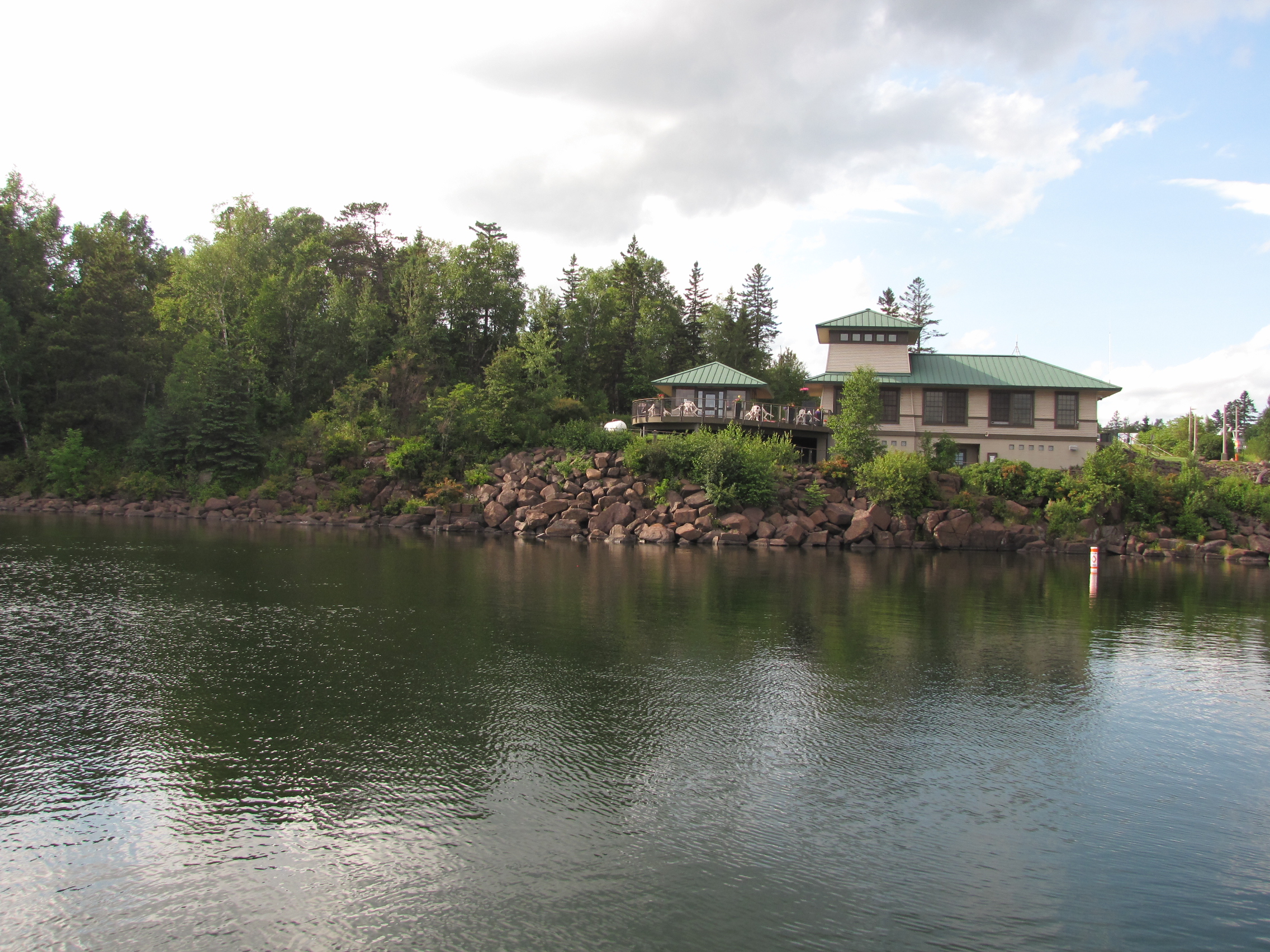
Fri. July 12; Enjoyed a very calm night at anchor. Slept right through from sun down to sun up at 5:30 hours. Weighed anchor at 07:35 headed for Rocky Island. As we rounded South Twin Island, we could see the NPS (National Park Service) dock on Rocky Island with space to tie up at the dock. We were greeted by the NPS volunteers Gene & Kandee & treated royally. They were so gracious that when Gene went fishing with 2 other locals, they returned and gave us 2 large lake trout fillets for supper. Approx. three pounds of fish. We went for a long walk along the beach and later for a swim to cool off. Temp reached 90 deg F. today. All -in-all a very relaxing day was had.


Sat. July 13; Left Rocky Island at approx. 09:40 hours headed for the cove on the north side of Oak Island. Weather is calling for strong SW winds (with squalls up to 70 mph possible). We tucked into the cove with another cruiser and 9 sailboats to wait out any potential weather event. We arrived & dropped the hook at 10:45 having gone all of 6.4 miles. Twylla is knitting & crocheting while the captain of course has his chores. It is close to the time we have to change the engine oil. I will also be continuing to work on wood working projects.

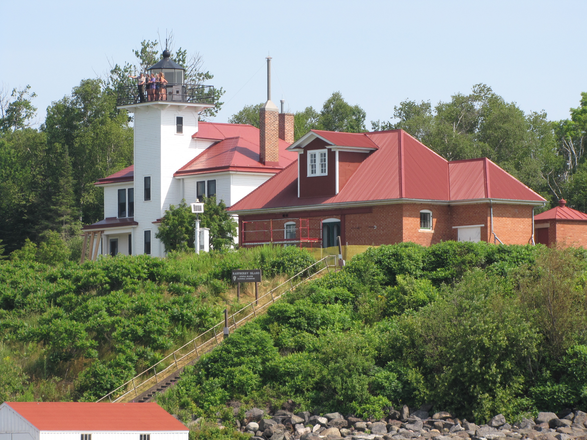
Sun. July 14; Well, the severe weather storm with potential hail & 70 mph squalls was a non event. The lake is full of surprises, some good. Leaving Oak Island. We have a plan. Spoke to Silver Bay Mn. Marina & got a slip for Monday night. We will visit two more islands today; Raspberry & Sand Island where we will anchor for the night and head out to the west shore tomorrow. Raspberry Island stop did not happen as the waves were crashing on the dock, and we couldn’t tie up, so we didn’t get a tour of the lighthouse.

Shortly after passing York Island, we decided to turn back to York and anchored in the NW corner instead of going on to Sand Island.
Mon. July 15; Anchored at York Island last night in the NW corner for protection from the west wind. Also, the wind was shifting to S – SE overnight. We assumed it would shift from west to SW to S to SE. No! It went clockwise around the compass to N -NE- E – SE. Spent a sleepless, rocky night. What the lake gives, she takes away. All-in-all, we had a great relaxing week in the Apostles and met some wonderful people. This was today’s sunrise– lovely, even though the photographer hardly slept!

We left York Island around 8:30 today and crossed the lower part of the lake north of Duluth to Silver Bay, MN. approximately 30 miles.

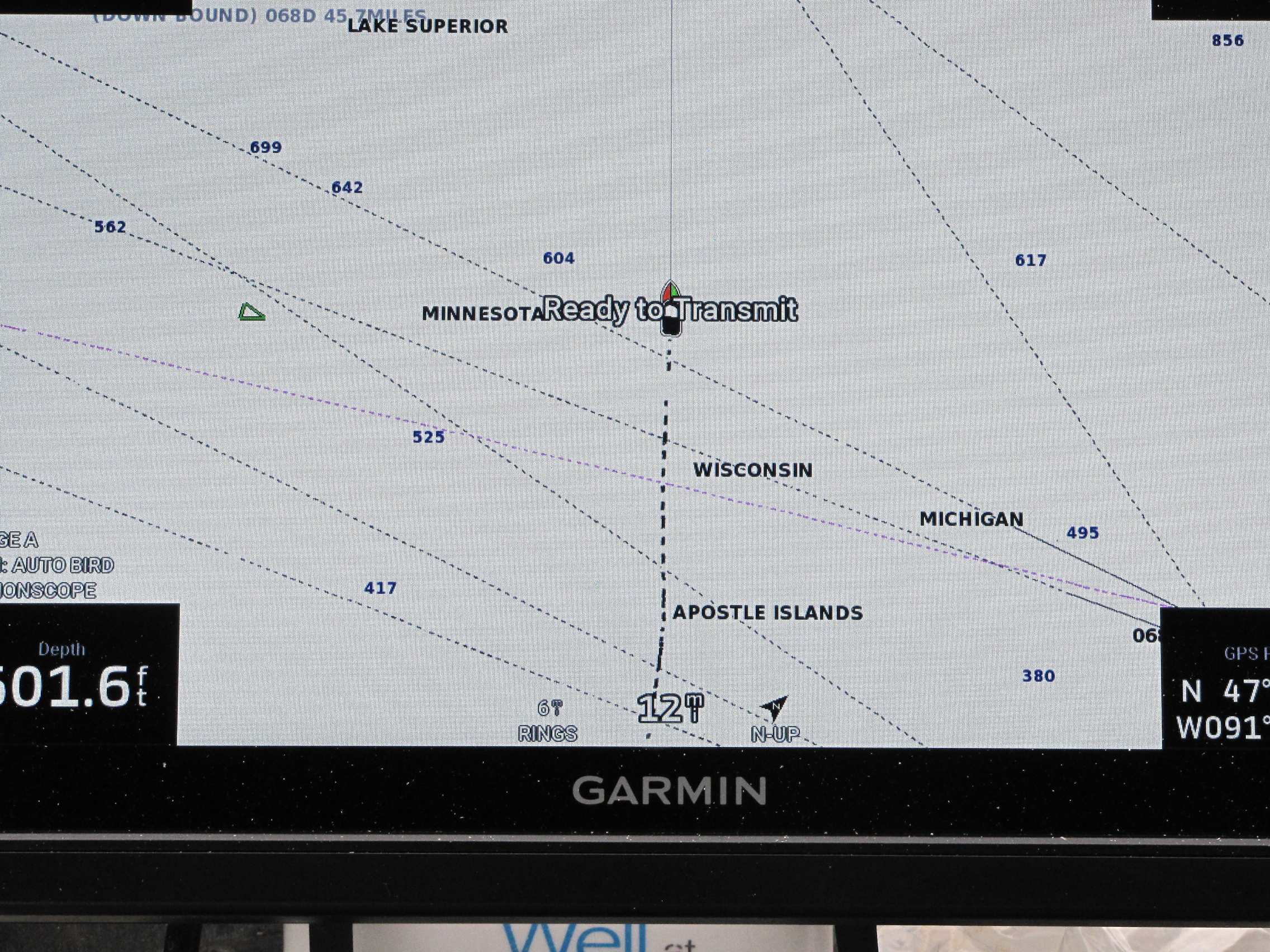
The screen shot of the lake, shows 3 states, laying claim to areas that are quite close together in Lake Superior. The photographer read that Isle Royale instead of being part of Minnesota, belongs to Michigan and these islands were gifted to them, when Michigan achieved statehood- many moons ago.
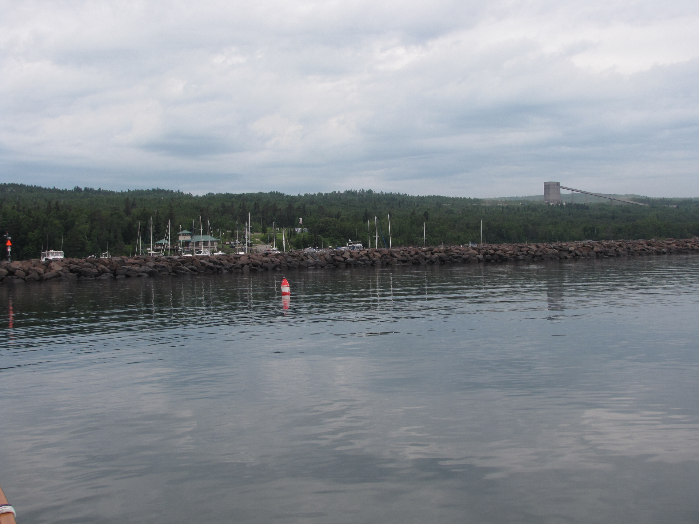
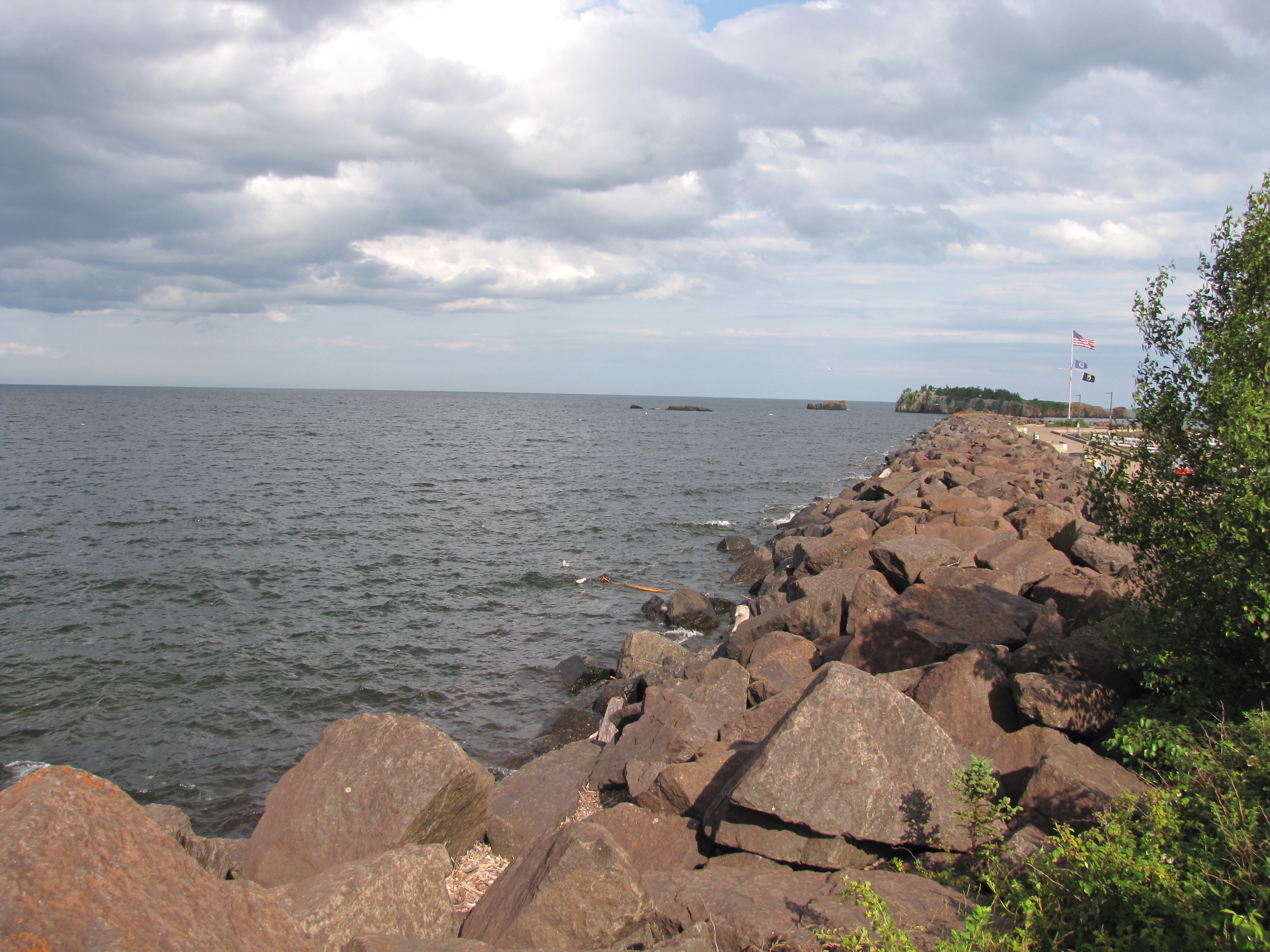
Got in & tied up before the rain & thunder showers, filled up the water and Twylla did laundry. Met a couple who are wanting to do the Great Loop and are starting on Lake Superior going north & east along the Canadian side to the Soo. We helped them with potential marinas, anchorages etc. We also gave them chart books and looping guides as they really are not well prepared. Wishing them safe travels.


Off tomorrow for the NW coast of Minnesota, Isle Royal & back to the Great White North by the weekend.
