Author Archives: Twylla and Andy

Final days in Florida

Thursday Feb 18

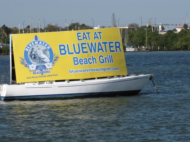
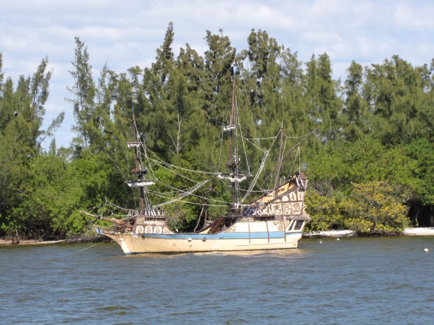
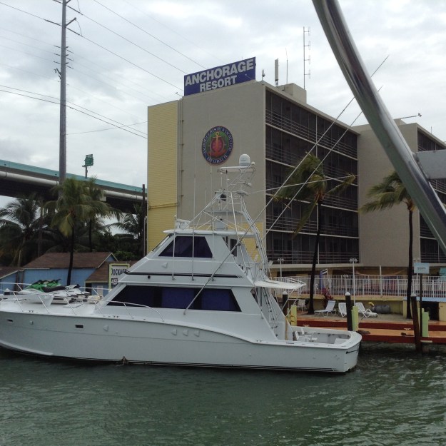
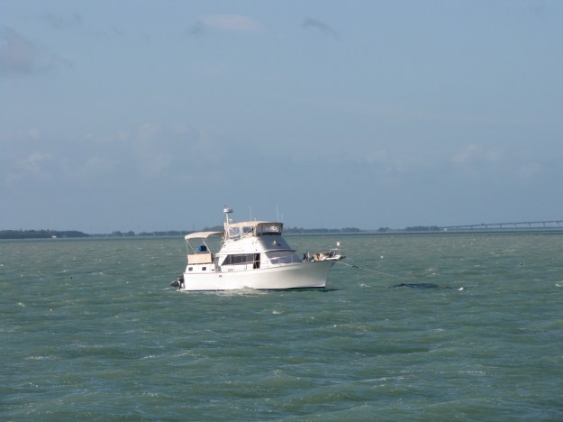
We left Nettle Island  at 8:00  continuing down the Indian River and passed through several towns including Fort Pierce, Vero Beach and Indian Beach.  We saw  a new way of advertising- just anchor your boat in the middle of the channel.IMG_4773We also saw another Pirate ship.

IMG_4786and this Canadian sailboat.IMG_4768We ended up anchoring near the Melbourne bridge at 4:00, after going 63.5 miles.IMG_4788Another Canadian boat ended up anchoring near us- their boat name was “just faking it”, Andy talked to them on the VHF radio.
Friday Feb 19

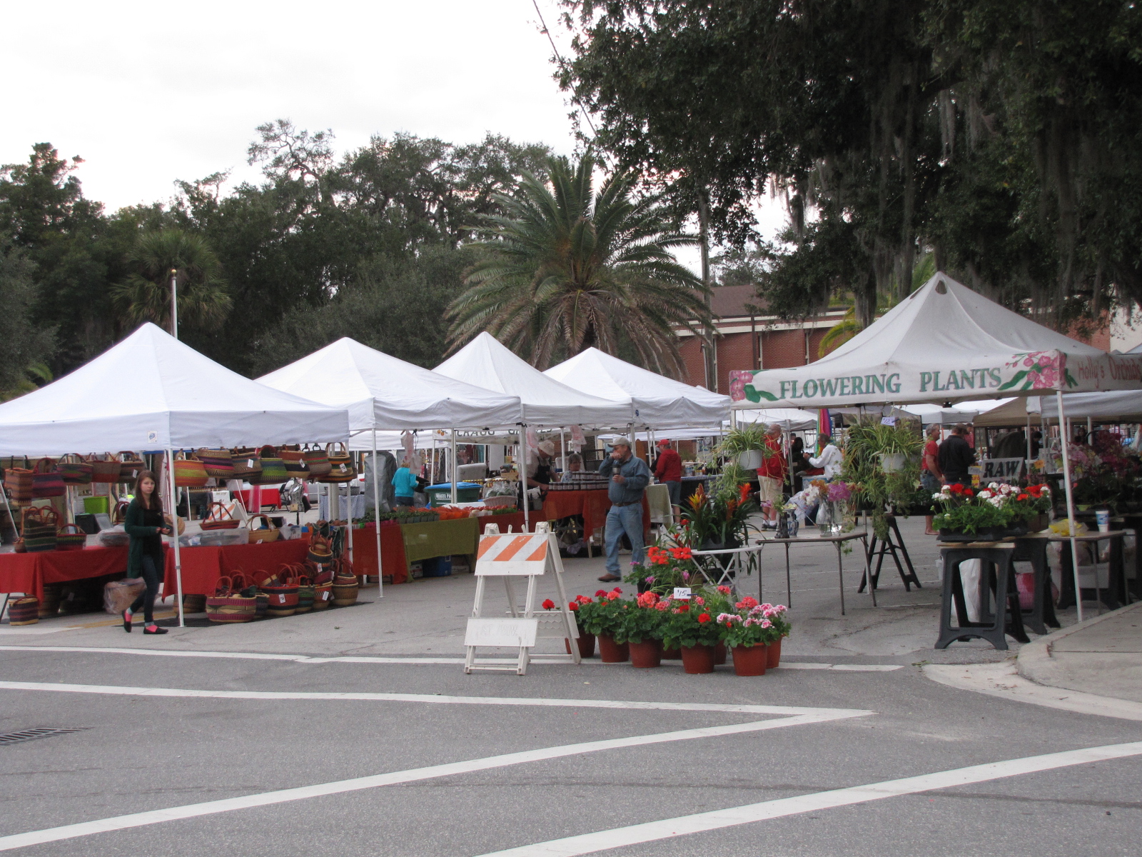
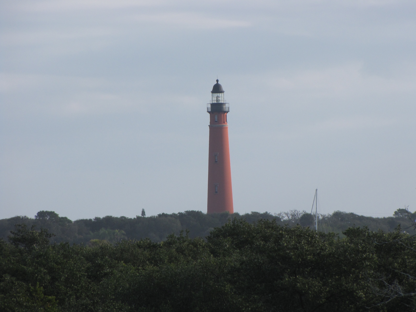
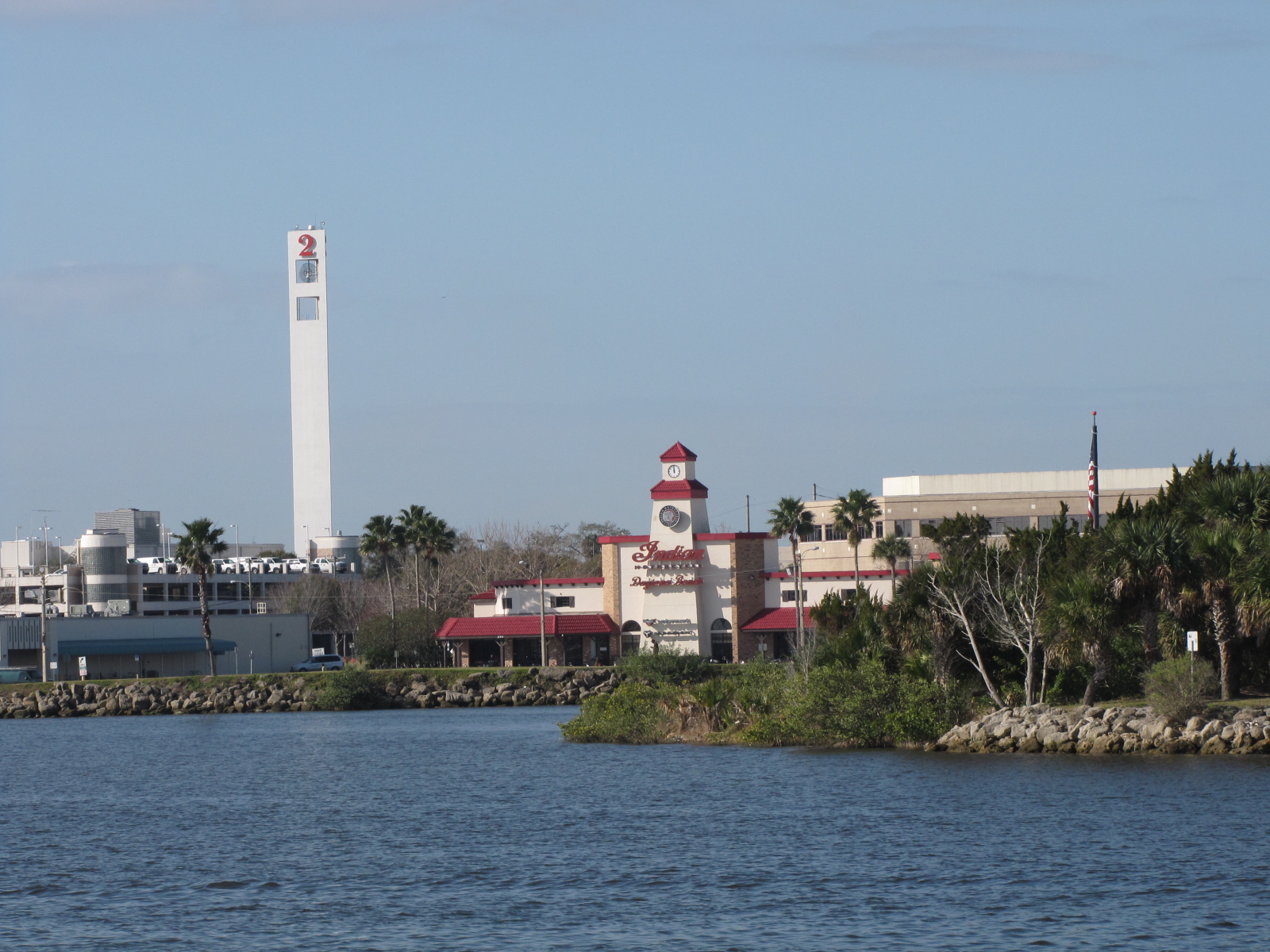
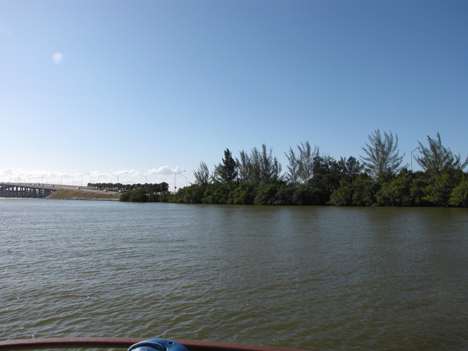
With the winds blowing through the night, we found that our anchor had dragged somewhat- so  the Admiral stayed up from about 3 a.m. on to ensure we didn’t get too near to the shore or other boats.  At 7:00, we departed Melbourne and continued northward, we passed through Sebastian, Eau Gallie, Palm Shores, and Cocoa, Titusville.    We saw the Kennedy Space Centre and launch pad from a distance as they are located on the Banana River, which is parallel to the Indian River and   closer to the Atlantic.    We continued on the Indian River entering the Haulover Canal at mile 869 and into the Mosquito Lagoon—it must be too cold for mosquitoes- cause we didn’t have an issue with them yet. We ended  up at a free dock in New Smyrna Beach at mile 846.    We met some other boaters at the dock,   Terrapin and Catalina 315 that gave us some tips about places to stay farther up north.IMG_4804Feb 20IMG_4803 There was a farmer’s market nearby that I wanted to check out prior to leaving the dock.  I bought some baking, fresh beets and some hot sauce.  We departed New Smyrna at  7 50, and continued North on the Indian River.  After Ponce de Leon inlet, the ICW becomes the Halifax River. Here’s the lighthouse:IMG_4812Prior to reaching Daytona Beach we went through a small community called  Wilbur by the Sea, we reached Dayton Beach around  9:45.  There was lots of boats on the river, and at the marinas we passed by- I wondered if maybe this was because of the Daytona 500 race.  Andy said this pillar with the 2 on it is part of the racetrack.IMG_4825We also saw jets- likely the Blue Devils, fly in  formations. We passed through  a number of beach communities and Palm Coast,  here the name of the ICW body of water became the Matanzas River.    We continued northward through Marineland, Summer Haven, Crescent Beach, and reached St. Augustine around 15:00.IMG_4840After going through the Bridge of Lions, we overtook Catalina 315, a sailboat, which had left New Smyrna several hours before us. We were now traveling on the Tolomato River.IMG_4843Since it was a nice day with very little wind, we decided to go another 25 miles north and anchor out near Pine Island at 4:15.IMG_4850Feb 21

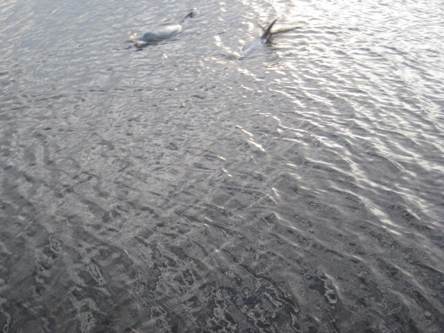
We weighed anchor at 7:20 and continued on our journey, it was another relatively calm day so we had hoped that we would get out of  the state of Florida.   We traveled along the Tolomato river which turned into San Pablo creek at Isle of Palms,  we passed through Jacksonville  and Mayport, which is  near the inlet for the St. Johns River. Throughout the day our speed changed from 7.2 to 11.3 depending on where we were and the tidal currents caused by the many inlets we passed.  At Mayport we entered Sisters Creek and followed it for 10 miles until we came to the Nassau Sound inlet and the South Amelia river.  By 12:30 we had reached Fernandina Beach and the St. Mary’s  Entrance, and we were ready to say good bye to Florida.IMG_4862Shortly after getting into Georgian waters, we heard on the VHF radio that there was a war ship entering the harbor and all boats had to  give way and 500 yards  of clearance.  We were hailed by the security vessel with blue lights flashing and told we would be escorted  out of the area.IMG_4869Luckily we were close to the marker leading us away from Kings Bay Naval base.  The warship was actually a nuclear submarine that you can see peaking out of the water in  the centre of this picture.IMG_4871The captain says “depending on your perspective- we were either chased by a nuclear sub or led it to it’s home base” .  We went another 10 miles north and ended up anchoring in Shellbine Creek at  3:00,   at low tide in 8.4 feet of water, several hours later when high tide hit we were in 15.8 feet of water.  The landscape looks quite different depending on how much water is around.  At our anchorage we were visited by a pod of dolphins,  Andy counted at least 11 that were happily swimming around and snorting.
IMG_0646During the night the boat swung around as the tide went out and came in again.

Feb 22

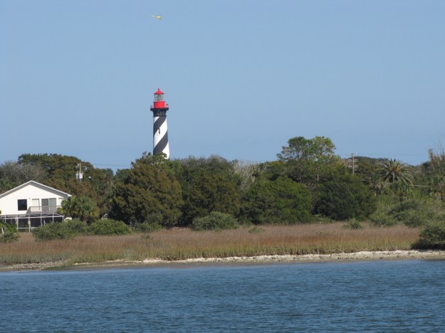
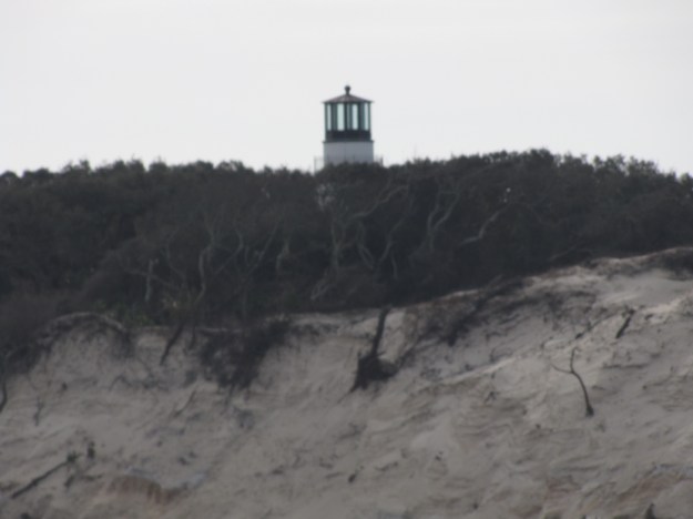
When we left the anchorage at 8:45 it was high tide and we were at 16.3 feet of water.  We traveled  the 20 plus miles to Brunswick Landing Marina passing through  St Andrew Sound inlet, where  I saw this lighthouse on a cliff.IMG_4882 We then took the Jekyll Creek  and entered St.Simons Sound inlet , where there was quite a current and progress was slow.  On our approach to Brunswick we went under this bridge, which  has a 185 ft clearance.
IMG_4889We arrived at the Marina at 11:30 and tied up.    Once we were checked in we spent the next 2 hours scrubbing down the outside of the boat as there was salt everywhere.  Plan for the remainder of the day is to  go to the clubhouse at 5:00 for a free drink  and then to a Thai restaurant for supper.

Nettles Island Marina- Jensen Beach

Feb 15-18

IMG_4760

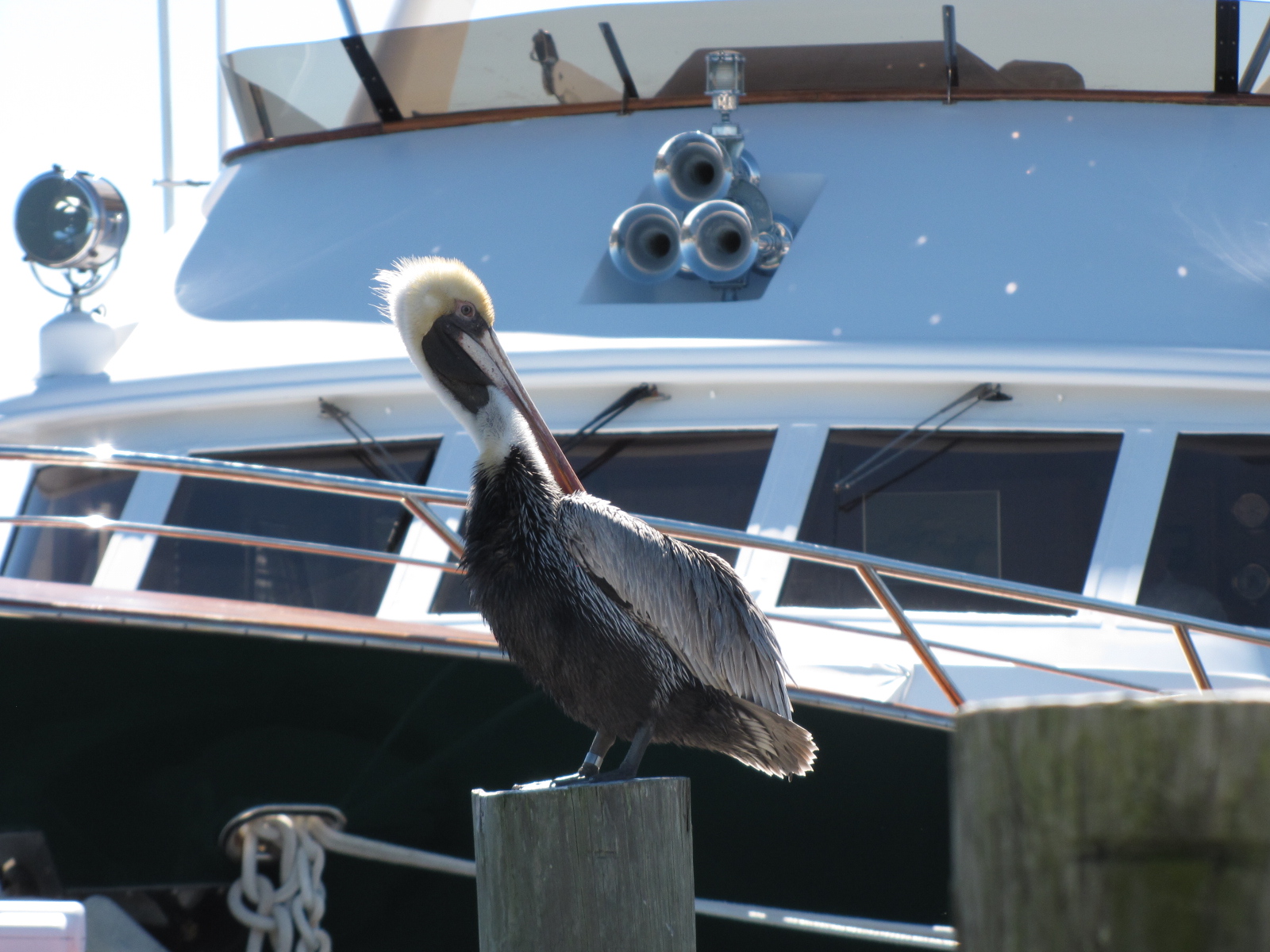
One of the many pelicans that hangs out here…

Once we were settled in at the marina, Andy called Don Allin, a friend from Toronto.  Don was actually the yacht broker that we had bought “On Business” through.  Don and his partner Barb, spend two months in Nettle Island, so they were relatively close to the marina.  Don had offered to take us anywhere we needed to go by car.  We imposed on him and went out to Walmart in Stuart  to reprovision.  On our way back the skies opened and the rain fell for over an hour.  That night we went for supper to a restaurant called shuckers.  The food was very good- Elaine and Andy enjoyed the seafood special,  while Don and I had BBQ ribs, and Barb had eggplant.

On Tuesday, Don had agreed to take Elaine to the airport in Miami, Andy went along for the ride, and I remained at the boat catching up on some cleaning and paperwork.  That evening Barb and Don stopped by after their dance class.

IMG_0640

On Wednesday morning we had originally hoped to leave Nettle Island and start northward.  We began the day by calling the local Xantrex service centre to see about getting a new battery charger as ours did not seem to be working.   We were given some advice from the technician when he called back, but was told they don’t keep the chargers in stock and it would take at least 10 days to get them as they are shipped from Burnaby BC Canada.  Andy did some tinkering in the engine room as was able to get the main battery charger operational.  We still need to replace one of the digital eco charge boards for the house batteries- which is available at West Marine.  We called around to the local West Marines, but no one has them in stock.  We decided that we will order one on line and have it shipped to the West Marine in Murrell’s inlet, as that will be the nearest store, once we arrive in Myrtle Beach.

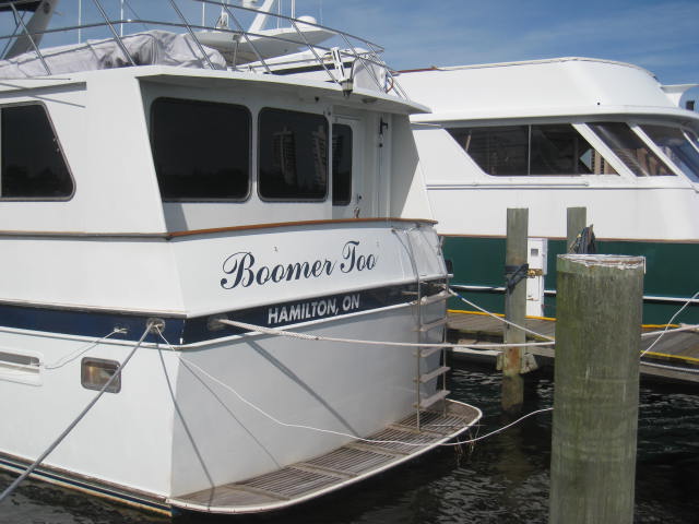
Andy needed some in-line fuses, so he called Don and was able to get to a hardware store.  We went for drinks in the Tiki hut and met a couple from Vermont, as well as the owner of the “Boomer too” boat from Hamilton ON, which is parked beside us.

IMG_0638

Thursday morning we are moving north- but  not sure  how far we’ll get.

eastflorida


Final days on the Okeechobee Waterway and with Elaine

Feb 13- Pahokee

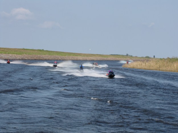
Saturday morning the sun was shining and there was very little wind, we continue our trek eastward from Moore Haven which is located on the south west corner of the lake.   We continued along on the  Caloosahatchee Canal until we reached Clewiston  which is the decision point as to whether the Lake route is taken (25 miles in open water) or the Rim Route, which is 35 miles along the edge.  Since we had already done the Lake crossing- we choose to do the Rim route- so that we could see some other places on the lake.  Prior to arriving in Clewiston, we were passed by 11 people on Jet skis,

IMG_4728

we weren’t sure where they were headed but on the following day we saw them again just outside the  St. Lucie lock- so they must have crossed the lake and gone  at least as far as Stuart.  At the boat launch near Clewiston, Andy counted over 35 boat trailers- we learned that there was a Bass fishing tournament on the lake- which explained all the go-fast boats zipping around us.  We went by Torry Island-  where there was a camp ground and even more boat trailers.

Here we  watched the  swing bridge” man”ually  cranked open .IMG_4732

It was a nice day so we called ahead to Pahokee mile 50.6, to see if there was a slip available for the night, and were told we could dock in a free space on Dock a, b or c.

IMG_4733

The first slip we chose on Dock c, ended up being too short- so we moved to a second one.  Once we were all tied up- we realized the 30 amp  shore power outlet wasn’t working  and our 50-30 amp adapter wouldn’t fit.  So we had to move a 3rd time- after pre-checking the power boxes to find one that was working  ( many of the power boxes had wasp nests in them  or appeared to be burnt out)– we chose to move to Dock B.    Pahokee likely has about 100 slips, however only 11 were occupied- many were inhabited by gulls and other birds and covered with poop.

IMG_4734

While having cocktails on the back deck

IMG_4738  we did meet another Canadian who stopped by after seeing our flag  and later another Looper stopped by and  we exchanged information with  him.
 

The marina has a break wall, where   dozens of people were fishing for ‘crappies’,

IMG_4748

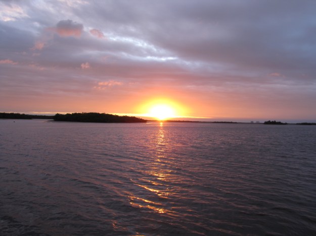
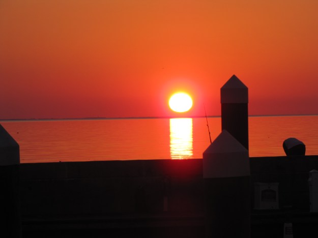
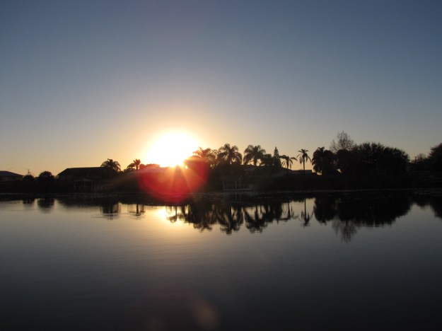
and I guess that’s what attracts the birds.  After supper we took some great pictures of sunset,

IMG_4741

the wind started to pick up and we learned another reason why there wasn’t many boats there—inside the marina becomes a pin-ball game—the waves bounce around hitting you multiple times.  We put 8 ropes on the boat to secure us to the dock and we bounced all night long- with Andy checking the ropes  every hour—a sleepless night in Pahokee!  This could be a nice Marina- but the maintenance and break-wall design sucked!

February 14- Valentine’s Day

We left shortly after   900 and continues along the Rim Route towards Port Mayaca Lock,  there were a few waves, but nothing like what we had experience the last time we crossed the Lake.  We arrived at the Lock at 1030 and were able to drive right through,

IMG_4752


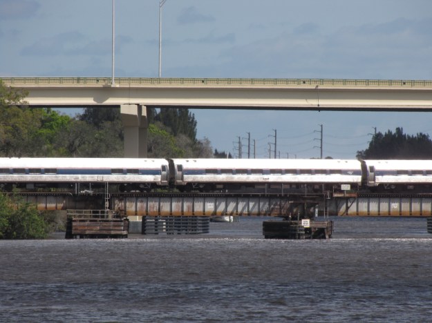
since the Lake was high, the lock was wide open letting water out into the St. Lucie canal.  At mile 28.2, we had to wait for 15 minutes  at the Indiantown railway bridge, as an Amtrak passenger train was expected .

IMG_4753

We passed throught the  St. Lucie lock at 200, and arrived at our anchorage in the 4 rivers loop at 220.  The boat hardly moved through the night and we all slept a lot better than the previous night.

IMG_4755

Feb 15- President’s Day in the USA/ Family Day in Manitoba

We  weighed anchor at 912 and   headed up the  St Lucie Channel into the Saint Lucie River.  At Mile 0 of the Okeechobee waterway, we turned north and  entered the  Atlantic  Intracoastal waterway/Indian River  (mileage 987.9).  We proceeded about 10 miles  to the Nettles Island Marina located at mile 979.2.   Enroute we passed about 50 small sailboats in a regatta—this seemed fitting  for a send-off for Elaine as we had been in the middle or a regatta 3 weeks ago when we picked up Elaine in Miami.  It was quite windy when Andy  tried to dock — the wind was pushing us away from the dock, we finally got our lines secured.     There is mainly sailboats at this marina.

IMG_4759

Lake Okeechobee Waterway REVISITED

Feb 11

We left Fort Myers Beach at 8:30 and arrived at the City Dock at Labelle at 4:30, passing under several bridges, including one swing bridge, as well as through many Manatee Zones. Elaine also got her experience of locking and we went up a whole 2.5 feet.   We saw a paddle wheel boat also go through the Franklin lock, turn around and come back through it;

Feb 12

On Friday we walked up to the McDonalds for breakfast and then headed out onto the Caloosahatchee River at 9:45 .  We went  through the Ortona lock at about 1130.   The captain claims he saw to gators—but the Admiral missed seeing them- so no pictures   These would be the first gators that were spotted & we’ve been in Florida for over 2 months.  We arrived at the River House Marina in Moore Haven at 1:15 and tied up.

IMG_4726

Moorage at this dock is $1 per foot and it’s on the honour system- you take an envelope put in cash and drop it into a locked box.  We actually met Jude, who is taking care of the marina currently and she seemed like nice enough- she refers to Moore Haven as Hooterville.  We went to City Hall which is very close to the dock to find out what they recommended we see in town—not a lot here—the clerk said there was only a couple of restaurants and a Family Dollar and 2 thrift stores.   We went for a walk in search of  lunch – and the first restaurant we stopped at closes between 2 and 5- so we were out of luck as it was 2: 15.  We then went to the Anglers Reef bar.

IMG_0633

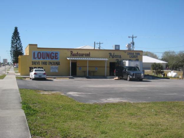
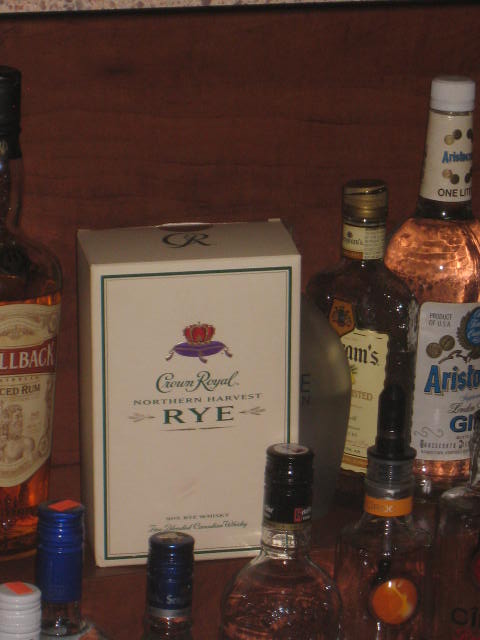
This place was a bar, restaurant and package store run single handedly by one woman while we were there  we saw a few of the locals including a dog that had a pink tail and toe nails because Valentine’s Day was coming—Go figure! We ordered lunch and had beers while we waited—food was great.  We saw that they had Crown Royal  Northern Harvest  at the bar- so I took this picture as apparently it is pretty scarce in Canada ever since it was named the best Rye in the world.

IMG_0634We had bought a bottle of this earlier in our trip in Appalachicola, but had left it with Kitty Nicolai in Cape Coral as neither of us are Rye drinkers.
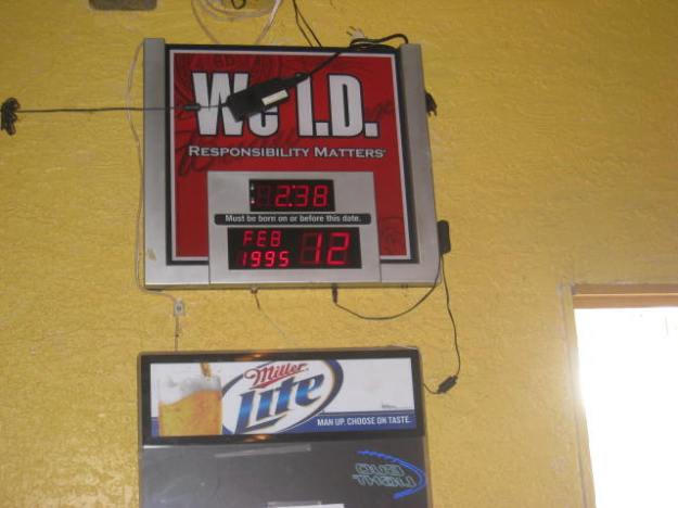
There was also signage on the wall- showing what age you had to be to drink here and seeing as how it was Caitlyn’s birthday today- she would have been able to drink here for the past year- as the drinking age is 21.

IMG_0635


We returned to the boat and enjoyed the sunshine and read on the sundeck.

IMG_0636

Feb 13

IMG_4725

Saturday morning the sun was shining and there was very little wind.  We’ll continue our trek Eastward today.

We’ve completed the mini-loop of Southern Florida

   Our mini loop  consisted of leaving  Fort Myers Beach on January 16th and returning on February 8th, having gone across Lake Okeechobee to Miami, Key West, Marathon and up the Western shore of Florida .

Feb 7-10

IMG_0626

We ended up going for a walk in Naples to see the Tin shed shopping district and then the shops on 5th Avenue.  We met Mic for drinks at the Chickee Bar (Tiki-hut) near his marina.  We later went to the Dockside restaurant for supper and to watch part of the Super Bowl game and ½ time show.

On Monday after we filled up with gas in Naples the Starboard engine would not start. Andy figured it was a battery issue, and he tried to boost it- but no luck- he then switched the battery with the spare we had for the generator.  Still wouldn’t start.  In the end we decided to go on to Fort Myers Beach, using the Port engine only, as a storm  was  predicted later in the day with   WEST WINDS AROUND 30 KNOTS. SEAS 12 TO 16 FEET. BAY AND INLAND WATERS VERY ROUGH. A SLIGHT CHANCE OF SHOWERS.  It turned out to be a rocky night- thankfully we were tied up to a dock at Salty Sam’s.  

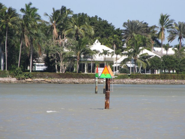
 Here’s the centre marker in Naples harbour.

IMG_4700

While enroute to Fort Myers, Andy contacted a mechanic who agreed to come to the boat on Tuesday morning to look at the battery issue as well as help us resolve a diesel leak that had recently started.   A new starter battery and a couple olive rings in the fuel injectors seemed to correct our problems.  In the afternoon we rented a car and did some reprovisioning.

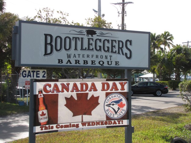
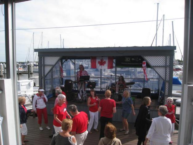
On Wednesday it was Canada Day at the Bootlegger Bar near our Marina.

IMG_4701

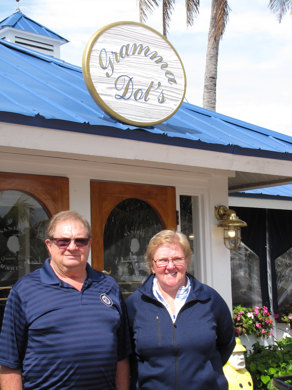
We drove to the Tanger Outlet mall to check out the stores on our way to Sanibel Island- only Andy made a purchase.  We met Dawn at Gramma Dot’s Restaurant for Lunch- we had heard that food was great here- so wanted to try it– Andy and Elaine’s Mom’s name was Dot- so another reason we had to go there.

IMG_4704

IMG_4707

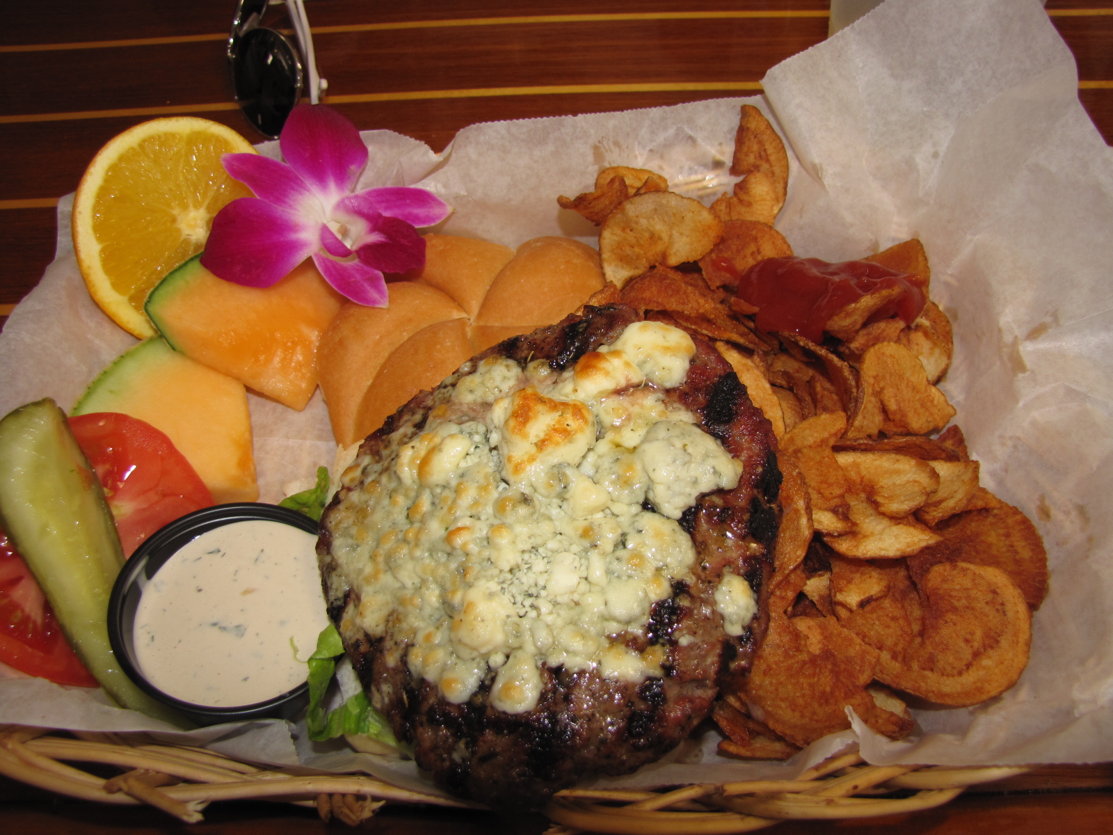
This was my blue cheese burger- which was great- I didn’t eat the orchid but was told that they are edible.

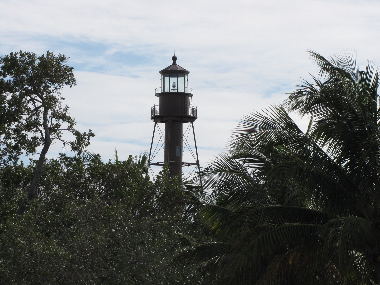
We then drove over to the Sanibel Park and lighthouse

IMG_4720

and walked along the beach and picked up shells.

IMG_4719

We then returned to the Marina and went to the Canada Day celebrations at the bar.

IMG_0630

There were quite a few people there- mainly from Ontario—I think  we were the only Manitoban- but we did see a couple other people wearing Jets jerseys.

We called Jack tonight, as it is his 7th birthday- he loved the pirate socks that we had sent him as a present.

Our plan for tomorrow is to once again start the trek across Florida on the Lake Okeechobee Waterway, as Elaine flies  out of Miami on Tuesday.

Moving North, arrived in Naples today

Feb 3-7- It doesn’t matter where we go the weather in Florida is atypical—COLD! 

We left Key West and traveled to Marathon on Wednesday.  We anchored out for the night,

IMG_4660

and left early the next morning to head north.  The original plan was to only go as far as Shark River, but with the threat of a front coming through we traveled further north.  It was a nine hour day on Florida Bay/Gulf of Mexico, after several hours we found that the water changed from the aqua blue color to more of a dark brown- like Lake Winnipeg.  We each took a turn driving and playing tip-toe through the crab pots. We ended up anchoring out in Indian Pass, and the wind swung the boat throughout the night.

IMG_4670

In the morning we called the Everglades Isle Marina and secured a slip for the night.  It was only about a 45 minute trip across a choppy Chokoloskee Bay

IMG_4674

and up the Barron River into Everglade City,  the marina is part of an  high-end RV park- we were the only boat in the 50 plus  available slips- apparently it’s not well advertised.

IMG_4689


After going for lunch at the Camellia Street Café,

IMG_4685

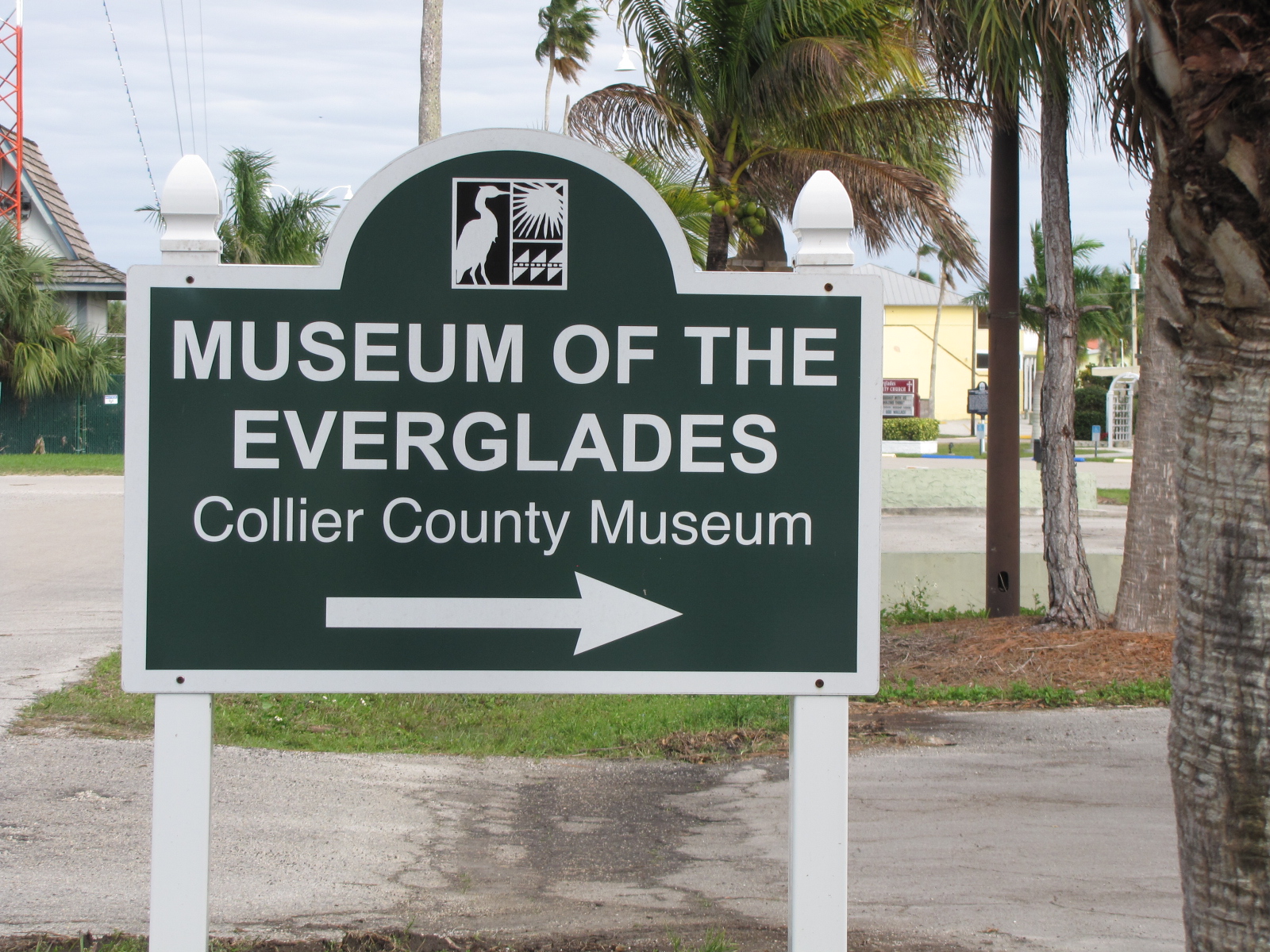
we walked around town and toured the Everglade Museum.

IMG_4687

We then went back to the bar at the RV Park for a ”meet and greet” and met several couples that had done parts of the Loop in boat but were now RV people.  We also met a couple from Winnipeg, who were staying in the park.  We went to City Seafood for supper and  returned to the park for Karaoke in the evening.

We departed Everglade city around 9:45 in the morning and returned to the Gulf.  Because it was low tide- here’ a pic of an empty  crab pot in Chokoloskee Bay. It was a relatively calm day with few waves.  We followed the shore until we reached Coons Pass, just before Marco Island.  We had opted to take the scenic/inside route towards Naples.  At lunchtime we pulled up to the dock at the Old Marco Lodge, and enjoyed more seafood.

IMG_4697

By about 2:00 we were starting to look for an anchorage as the wind had picked up and there was now rain in the forecast.  We ended up anchored behind an island in Rookery Channel.  It was windy and the rain began to fall.  At about 7, Andy moved the boat more into the channel as we were swinging fairly close to shore.  In the morning  the sun came out and I took this picture, very soon after the winds started to blow.

IMG_4698

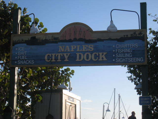
Since it was low tide, we had to wait until after 11am before we could pull out of our anchorage.  We were only travelling as far as Naples today, which was less than 8 miles- so it didn’t matter when we left.  With the gusting winds, it was quite rocky going down the channel, but there weren’t as many other boaters out- so not a lot of additional wakes to manouver around.  We arrived at the Naples City Dock marina  just after noon.   After checking in, Andy contacted Mic who we had spent some time with in late November on the Rivers and Mobile Bay, We’re going to meet him this afternoon for a drink.  So I’ll be spending my Birthday in a Naples bar and will likely have to be watching American football.


KEY WEST LIFE

February 1, 2

Arrived in Key West on Monday at 4:00,  the start of our trip was a little rough, so  we checked out the marina and then went for supper and relaxed.

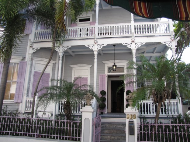
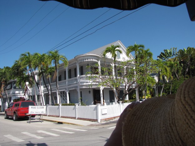
We played tourist today in Key West.  We took the 90 minute Conch tour train, and travelled around Old town Key West.  We saw many old building that had been standing for more than a century.  There was a variety of architecture- wooden structures, Bahamian, gingerbread, etc.

IMG_4637

This  had purple shutters- so it had to be included in today’s post.

IMG_4642

We saw the homes of Truman, Hemingway as well as several old churches.   We were taken to the southernmost point in continental USA- we couldn’t get off the bus there- so I had to snap this picture as we went by.

IMG_4633

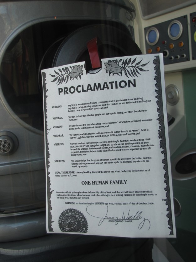
We were told that there is no discrimination in the Keys- everyone is part of the human family- and here’s the proclamation stating it.;

IMG_4650


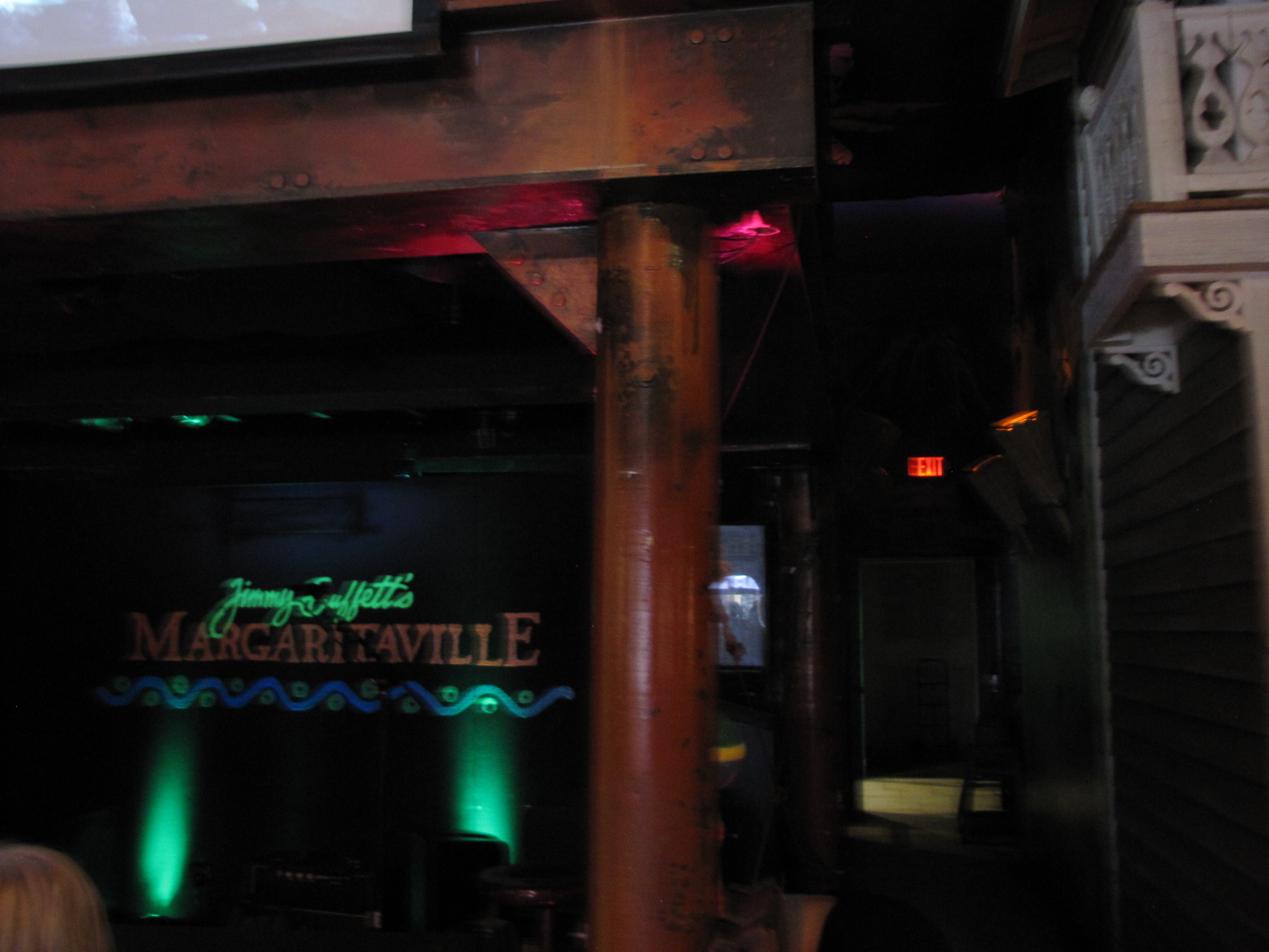
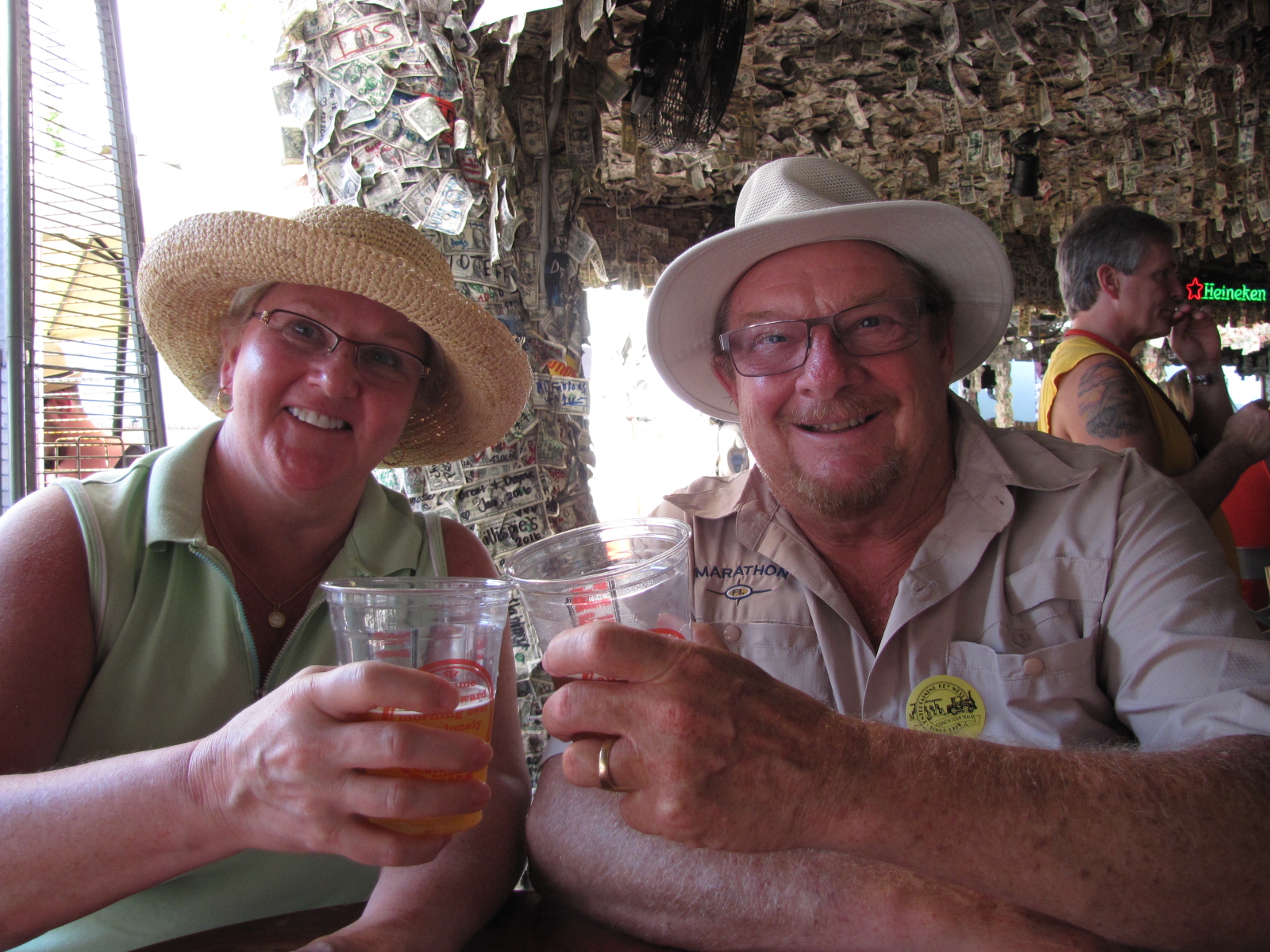
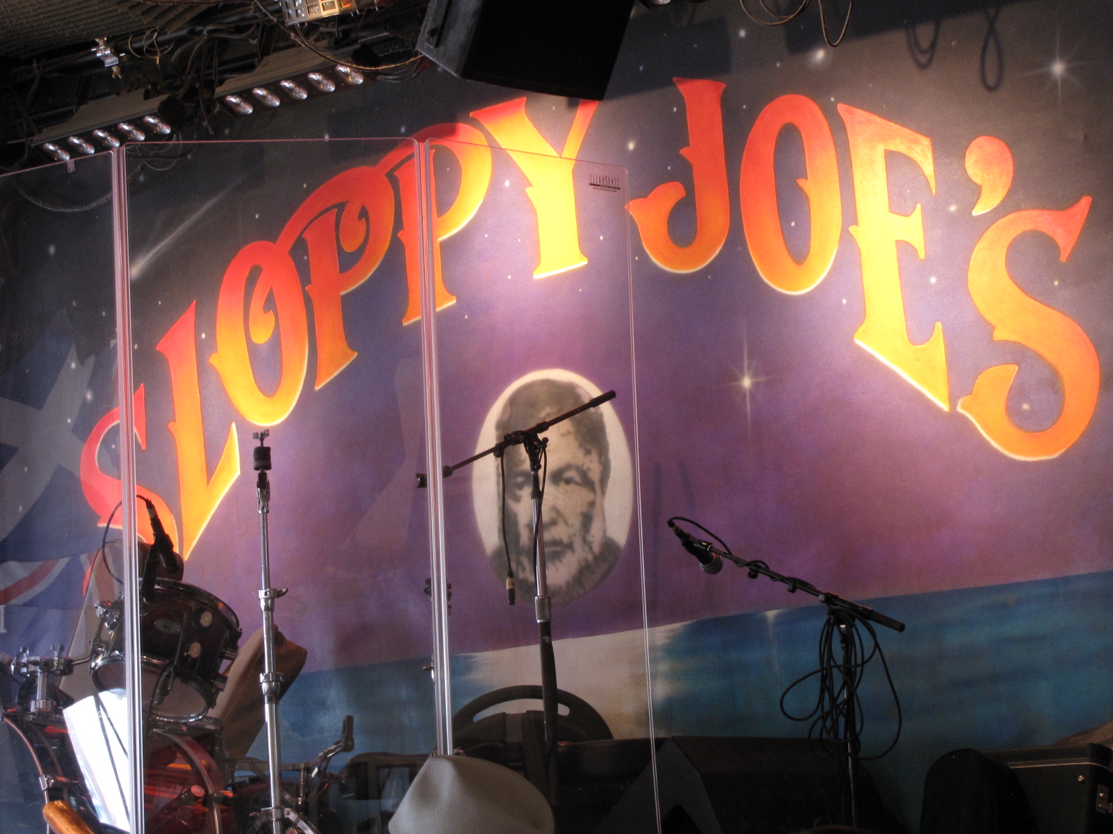
Following the tour, we had a little drinking & shopping tour of our own- we had cocktails and listened to musicians in Jimmy Buffet’s Margaritaville, Willie T’s bar ( this place was covered in $1 bills) and then in Sloppy Joes bar.

IMG_4647 IMG_4654 IMG_4659

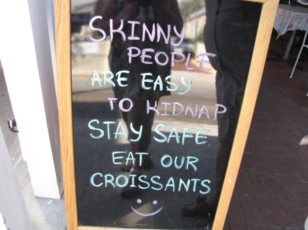
I saw this sign board outside of a french bakery and had to include it….

IMG_4649

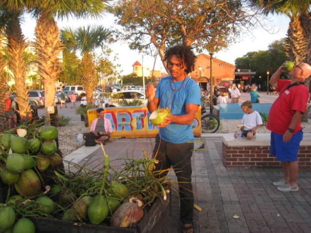
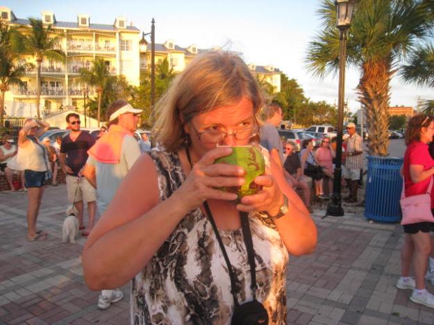
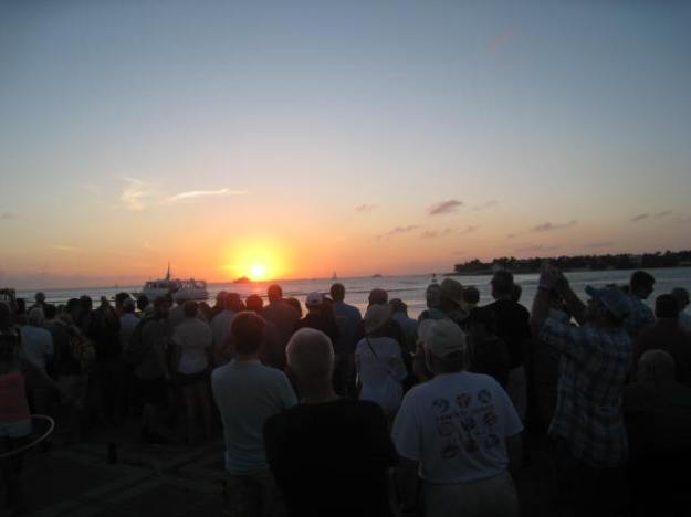
This evening we went to the sunset celebration that happens nightly in Mallory square¸where there was close to one thousand people watching the sun go down.   There were many street performers and   I had fresh coconut water, cut open with a machete.

IMG_0617

IMG_0618


IMG_0623

We then went to Red Fish Blue fish for dinner and tried the famous Hogfish, crab cakes and conch fritters — the hogfish can’t compete with MB pickerel.

Marathon- the birthplace of Andy and Elaine- but not this town.

January 31, Feb 1

Sunday morning was relatively calm as the sun came up .

IMG_4601

We left our anchorage at 9:15, and followed the ICW to Marathon, arriving at about 1:00.  Once again our route was plagued with crab pots everywhere. Elaine took over driving for a time and got the opportunity to dodge the pots.

IMG_4606

We saw these birds sitting on posts along the path.

IMG_4604

Once we got to Faro Blanco, we went for showers and then trekked into town ( 1.9 miles) to get some groceries and lunch.

IMG_4612

Being in the Keys which is sometimes known as the Conch Republic- we tried the conch fingers-deep fried.

On our way into town  we saw the Turtle hospital and this ambulance

IMG_4614

IMG_4613

Since Andy and Elaine were born in Marathon ON, we wanted to get some pics of them with a Marathon FL sign.


IMG_4617


IMG_4621

We later went out for supper with our friends Dick and Pat from Dream Catcher who  are in Marathon until March.  It started raining during the night and as of 9:30, it is still overcast and spitting.

Florida_Keys_Map

The plan today is to move on to Key West for a couple of days.


Hello Keys—Hanging out on a Ball

January 26-30 update

After doing  some shopping and picking up Elaine at the airport, we returned to the boat, to show her the 5 star accommodations for the next three weeks. With unfavourable weather in the Bahamas, we made the decision to go down to the Keys, as far as  Marathon and then head north to Fort Myers and then cross Florida through Lake Okeechobee ( rim- route) and come back to Miami  while Elaine is with us.

On Wednesday morning, we left Bayshore Marina at 10:40 and headed back out into Biscayne Bay in southern direction.  Once again we had to dodge sail boats, as the international regatta was continuing.   A small dinghy, having seen our Canadian Flag, drove by us, as they also were flying the Maple leaf.

IMG_0305


There was some wind and there was a light chop as we got away from land.  We passed the Turkey Point nuclear plant about 1:00, and had a little more shelter from some of the smaller  uninhabited   “Keys”.  We entered Card Sound and  anchored in angel fish Creek, near  Grayvik, in North Key Largo.   Between the tidal current  and winds and a thunderstorm , we somehow turned around during the evening and our anchor indicator (milk jug with a string; that I try to tie off at about 3 X the depth) was caught under the boat (we could hear it scraping).  Not a good thing, as it could get caught in the props or rudder.  Andy said that we may have to swim under the boat in the morning and cut the rope.  Well guess who didn’t sleep after that-  me  being the better swimmer I would have been assigned that task and the thought of swimming in waters that may be jelly fish, shark or alligator infested scared me.   The water here,  is a  lovely aqua blue, not black and murky like Lake Winnipeg. Once it was light, at 7:00, Andy moved the rudders  and then stared the boat, the milk jug popped out- with the rope cut.  Thank goodness for that- no swim for me!

Seeing as how we were up, and there was another storm predicted to blow through the area, IMG_0311we chose to moved on .  We followed the ICW through Barnes Sound,  passed Key Largo,
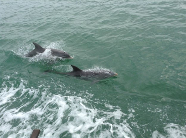
 

Tavernier and Islmorada (Purple Island) , which is located on the Upper Matecumbe Key. With bad weather still looming we tried to make as much distance as possible going through steam boat channel- (the shallowest part of the loop so far) while at high tide.   We were being followed by dolphins yet again.

IMG_0395


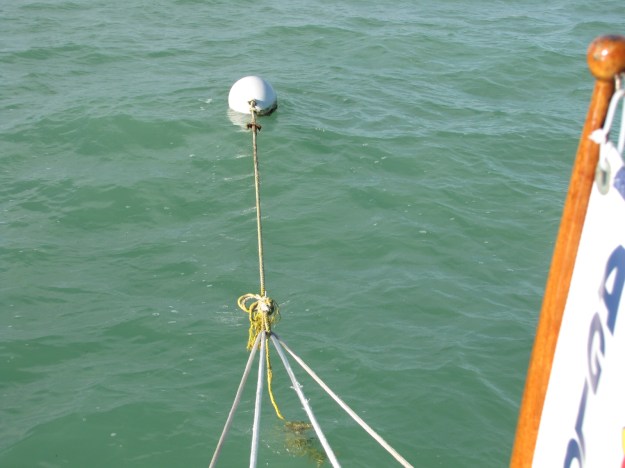
We found a complimentary mooring ball on the west side of Lignumvitae Key and tied up at 2:00—there were crab pots everywhere that had to be zigzagged around.  Being the first mooring ball that we had used- I was not sure of the process and I managed to drop the boat hook in the water—thank goodness it floats. On the third attempt we managed to get the rope through the loop and tied off to the Captain’s satisfaction.


IMG_4594

A weather system with rain and winds passed though in the afternoon and evening, rocking us around, but we were more secure on the mooring ball than we would have been with an anchor out.  We started calling Marina’s in Marathon to get a slip for the next day—but all were booked up and some didn’t have openings until late March.  We finally found one that we could get into on Sunday.  We have stayed attached to the mooring ball, reading and playing cards in the evening.    There is another Looper boat- Phaze II  at the next mooring ball, which made contact with us Friday morning.

IMG_4593

Friday was a sunny day and Elaine and I read our books on the back deck and got some sun- a little too much in places.  Elaine is a great crew mate!   Here’s a picture of the McKendry siblings, having decktails.

IMG_4597

Early Saturday morning the wind picked up slightly, and we are once again bouncing a little.

Trending in Coconut Grove

January 24,25

We left the anchorage by 9:00, and traveled under quite few more bridges, crossed the Port of Miami entrance, where once again there were a number of cruise ships.

IMG_4553

We then traveled through the city of Miami and out to Biscayne Bay.

IMG_4551

We entered the channel to Bayshore Marina from the bay and saw over 150 sailboats participating in an International regatta.  They were everywhere including the channel we were in, Andy avoided them as best he could.

IMG_4554

We arrived at our slip and tied up by about 12:15.  Later in the afternoon we walked to a nearby grocery store.

Today, the technician came and was able to fix the head, and I did some cleaning. In the afternoon we walked to Coco Walk; a nearby district that has shops and restaurants.

coconut grove

For tomorrow, we have rented a car for the day, so we can go pick up Andy’s sister Elaine at Miami airport—the next visiting crew!   We also plan to do some banking and grocery shopping.  The internet at this marina; doesn’t work well so not a lot of pictures being added.

We will assess the weather on Wednesday morning and make a decision if we’re going to the Bahamas or the Keys or ?? ( it won’t be crossing the gulf to Carabelle!!)  for the next 3 weeks while Elaine is here.