Category Archives: East Coast

Passed through Georgia now in Myrtle Beach for the month of March

Update February 27- March 1, 2016

The day started out with a six pack of Krispy Kreme donuts compliments of the marina that were delivered before 7 am,  Yes, I shared 3 with Andy.  We took a bus into Savannah at 8 am and purchased ticked for the Old town trolley tour which had 16 stops   where you could get on and off and resume the tour ( this was much better than the trolley tour we had taken earlier in Key West)  Savannah is laid out in 24 squares/ green space/parks dating back to the 1700’s which are dedicated to important people like James Madison, the 4th president of the U.S.A and had  historic monuments..   There were many historical buildings and IMG_4928great mansions as well as churches, including the bench used in the Forest Gump movie, where Tom Hanks sat with the box of  chocolates..  Many of the older building have been purchased by SCAD  (Savannah college of Art and Design)  restored to original , and re-purposed as part of the college.  Our original tour guide was very informative so we stayed with him until stop 14.  We then got off at the City Market where we tried Pralines as well as Byrd cookies.

IMG_4924  We resumed the tour at stop 2 and saw parts of the city again.   Because it was after lunch we got off at stop 10 and had lunch at the Pirates House,

IMG_4936

which was originally a seaman’s tavern in the days of sailing ships and pirates.   Robert Louis Stevenson’s Treasure Island was said to be inspired by events that occurred here.  We were seated in the Herb house,

IMG_4935which is considered the oldest surviving home in Georgia, built in 1734.  Lunch was a buffet with many southern treats including, greens, okra, fried chicken, black eyed peas and roast pork.   We got back on the trolley and only went a couple stops to the riverfront, to do more shopping and take some pictures.  I remember hearing from Debbie Sobering how the convention centre had been across the river from her hotel a few years back when AACC was in Savannah.

IMG_4939  At the waterfront there was a place called the Echo Chamber, where you could whisper something and you can hear it echo.  We also saw the waving girl statue

IMG_4940and the Olympic cauldron from the water events of the 1996 Olympics.

IMG_4941

We caught another trolley, which happened to have our original tour guide and finished the tour.  It was approaching 3:00 we opted to catch our bus back to the Thunderbolt marina.

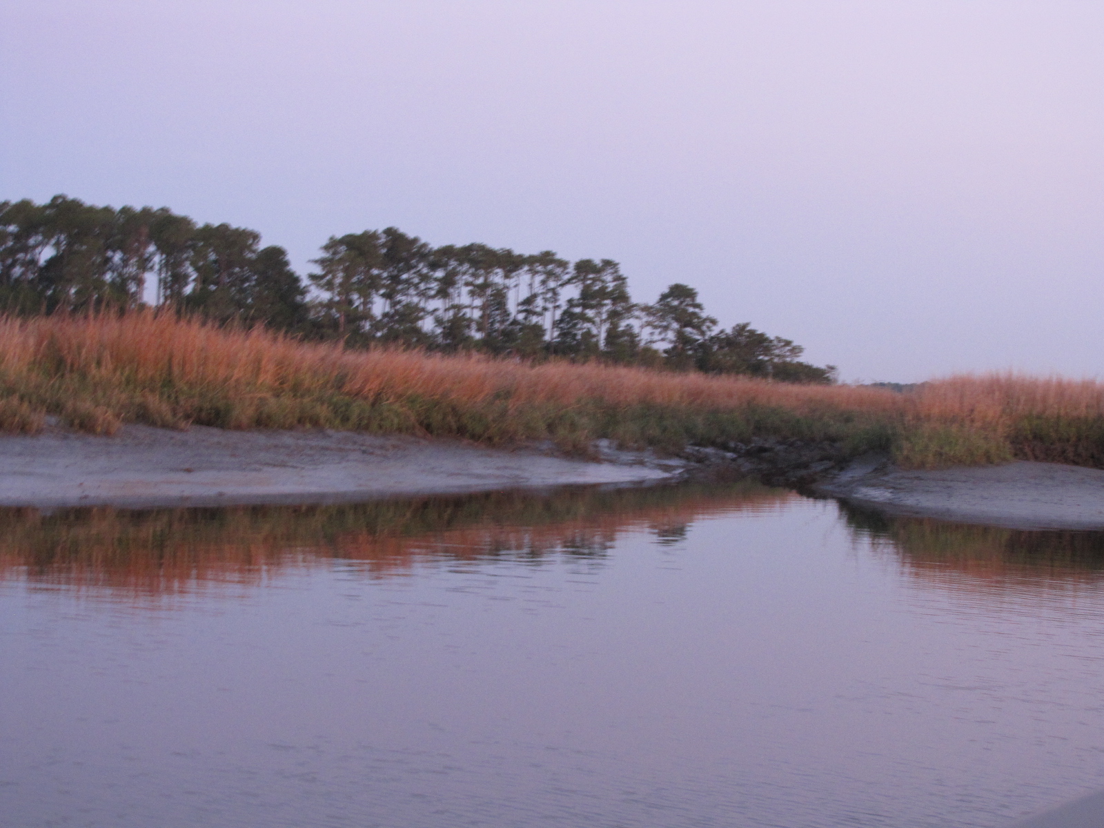
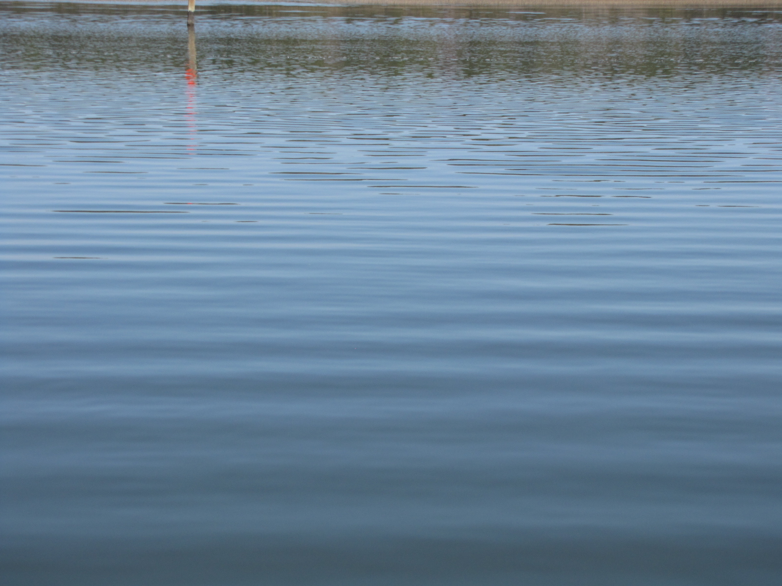
On Sunday, after the Krispy Kreme  delivery, we left the marina.  It was only 40 F, but the water was like glass, not even a ripple–first time that this had happened on the trip

IMG_4946

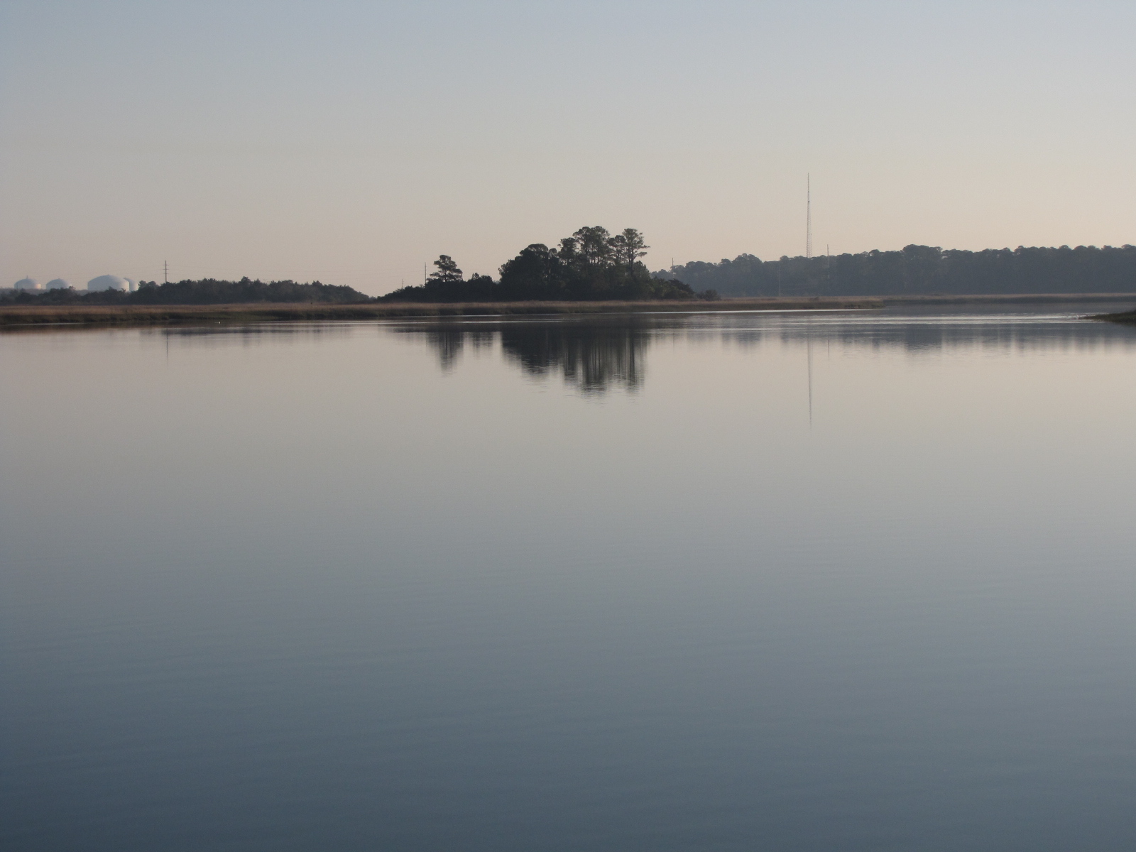
We took the Atlantic Intercoastal Waterway which was comprised of  several rivers, creek, and cuts between them, including several Sounds.  We were soon out of the state of Georgia, and entered South Carolina. The scenery didn’t change much—more marsh or “low country” and wildlife preserves.  I keep thinking there must be something they can grow in the marshlands that would make them profitable– it seems such a waste.

IMG_4994

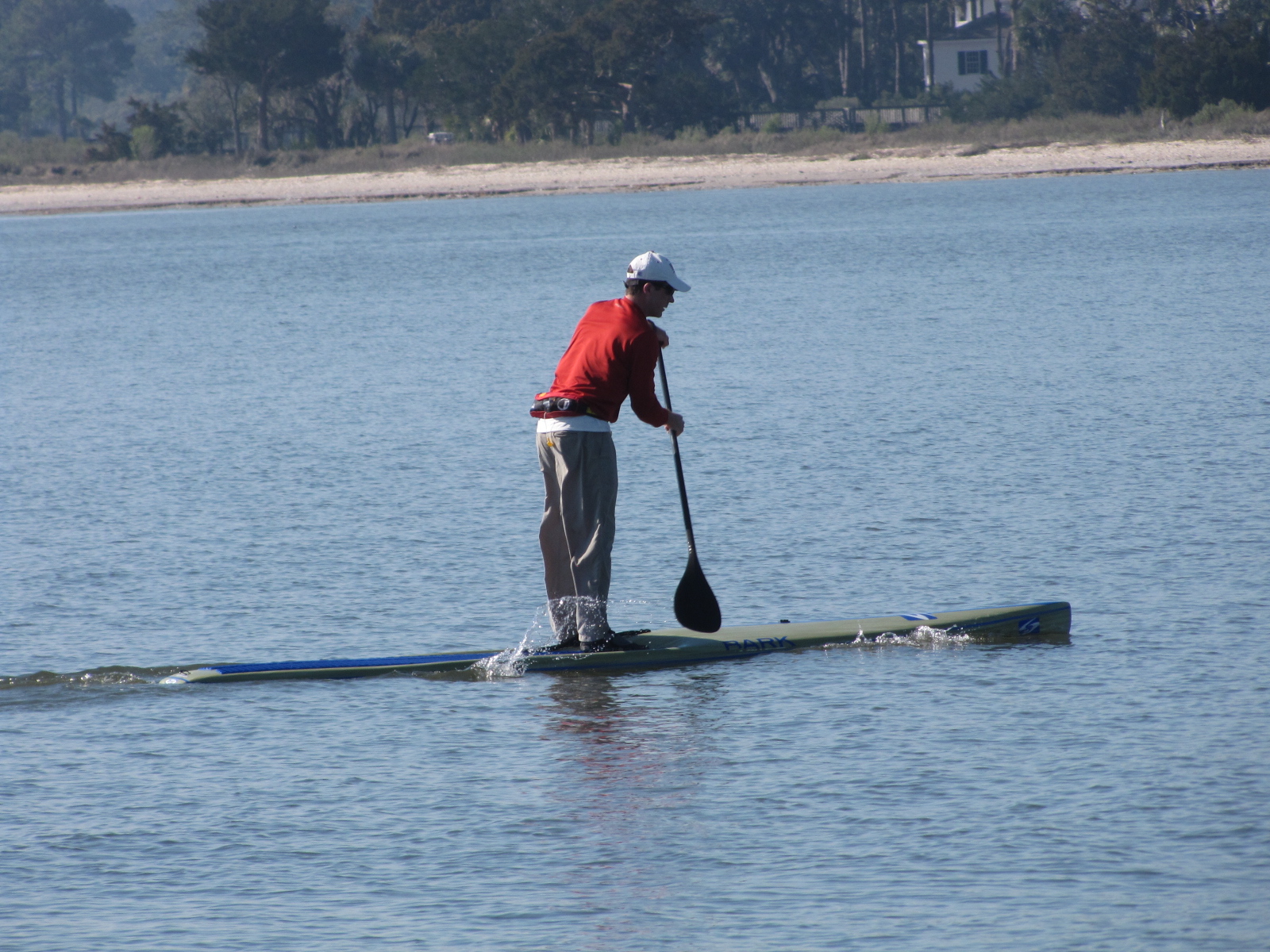
I saw this guy paddle boarding early Sunday morning .

IMG_4955

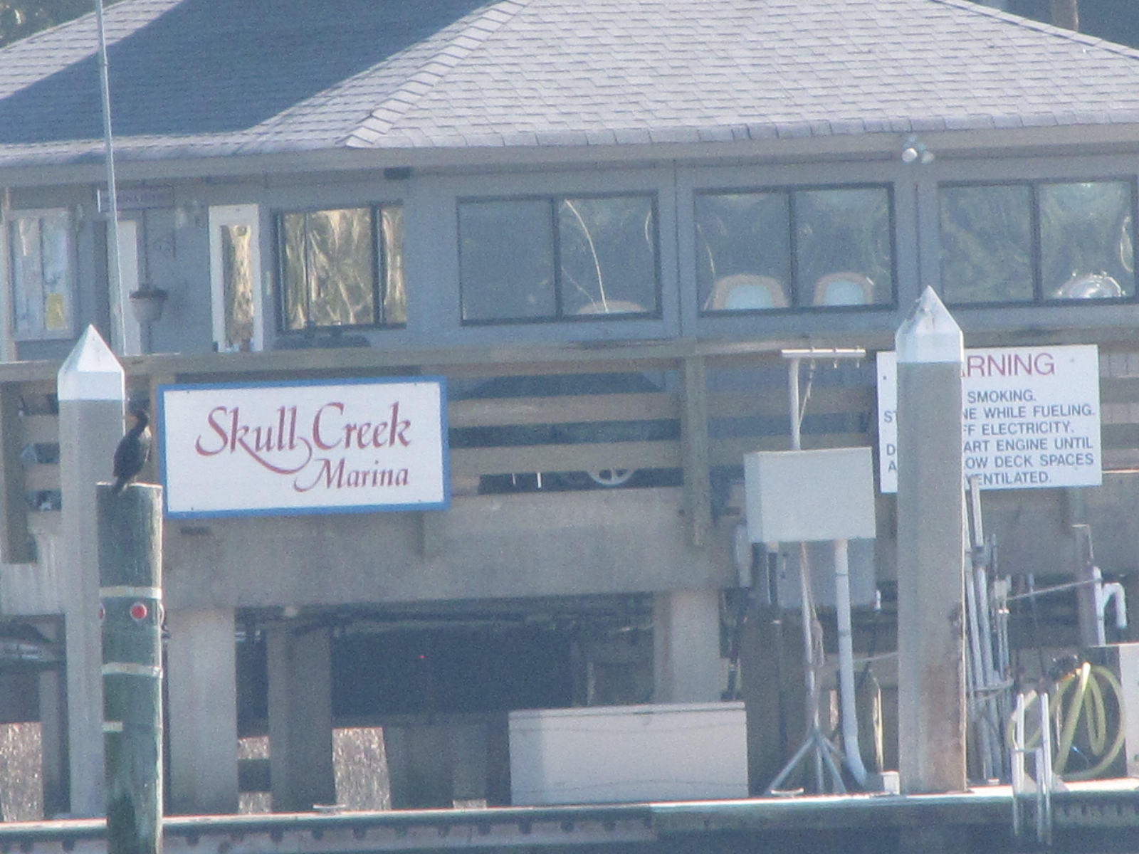
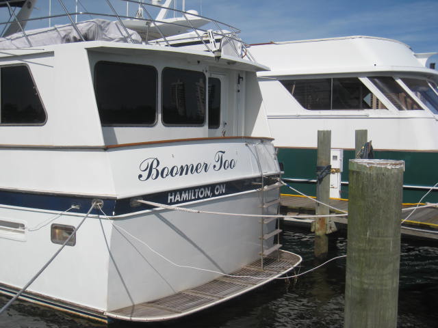
We went through Hilton  Head , and I took pictures of these two marinasIMG_4966

IMG_4974

IMG_4977

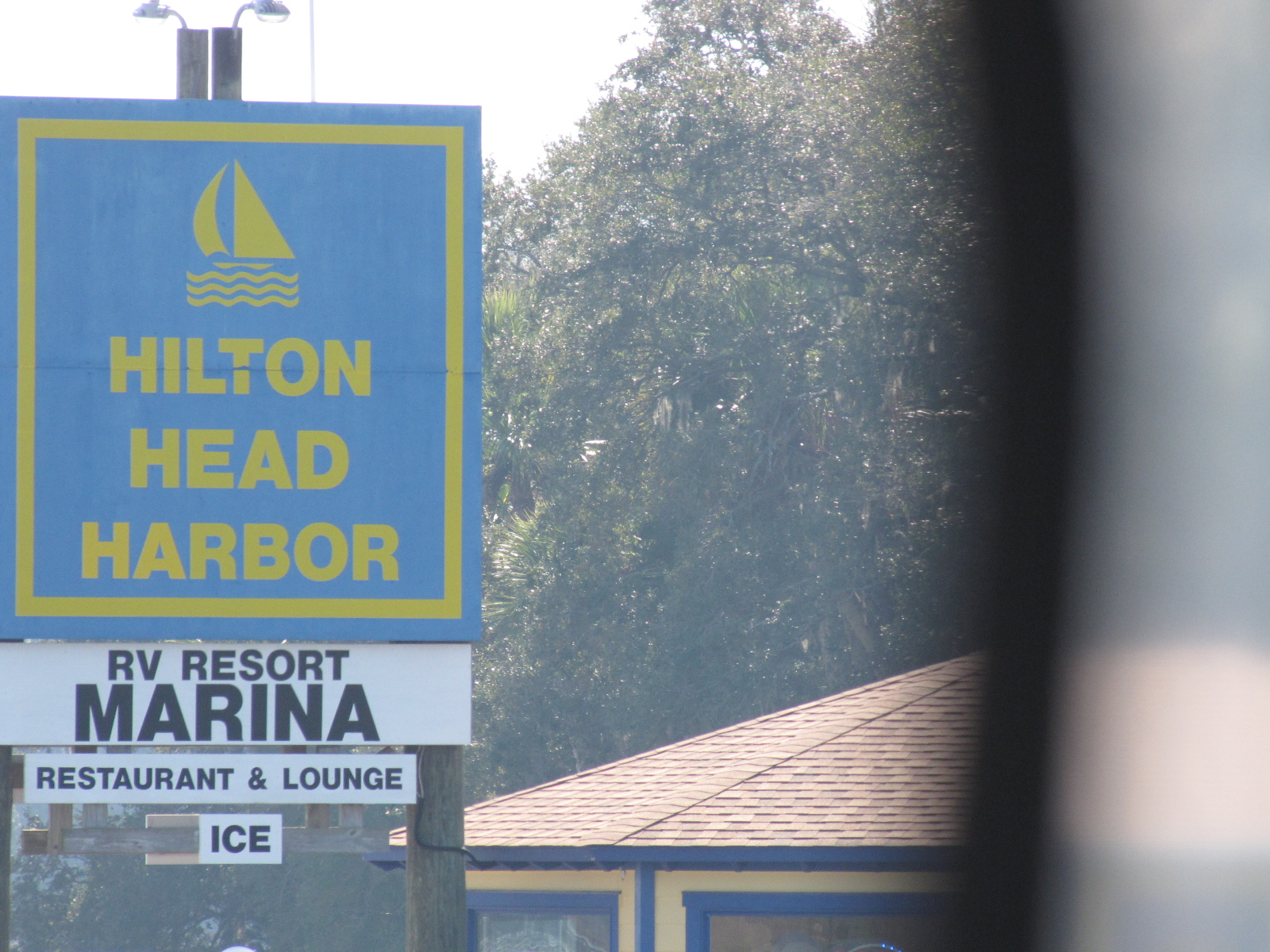
Saw this little beach house near Hilton Head too.

We went through  Beaufort, and  Parris Island, which is the Marine corps recruit training depot– couldn’t miss it- see the water tower!.

IMG_4985

IMG_4991

We ended up anchoring in Rock creek at mile 516.1—a 67 mile day.

IMG_4995

Because it was such a calm day, I took a number of pictures of  the waves– I remember studying waves in Grade 11 physics- but don’t recall any more than that.
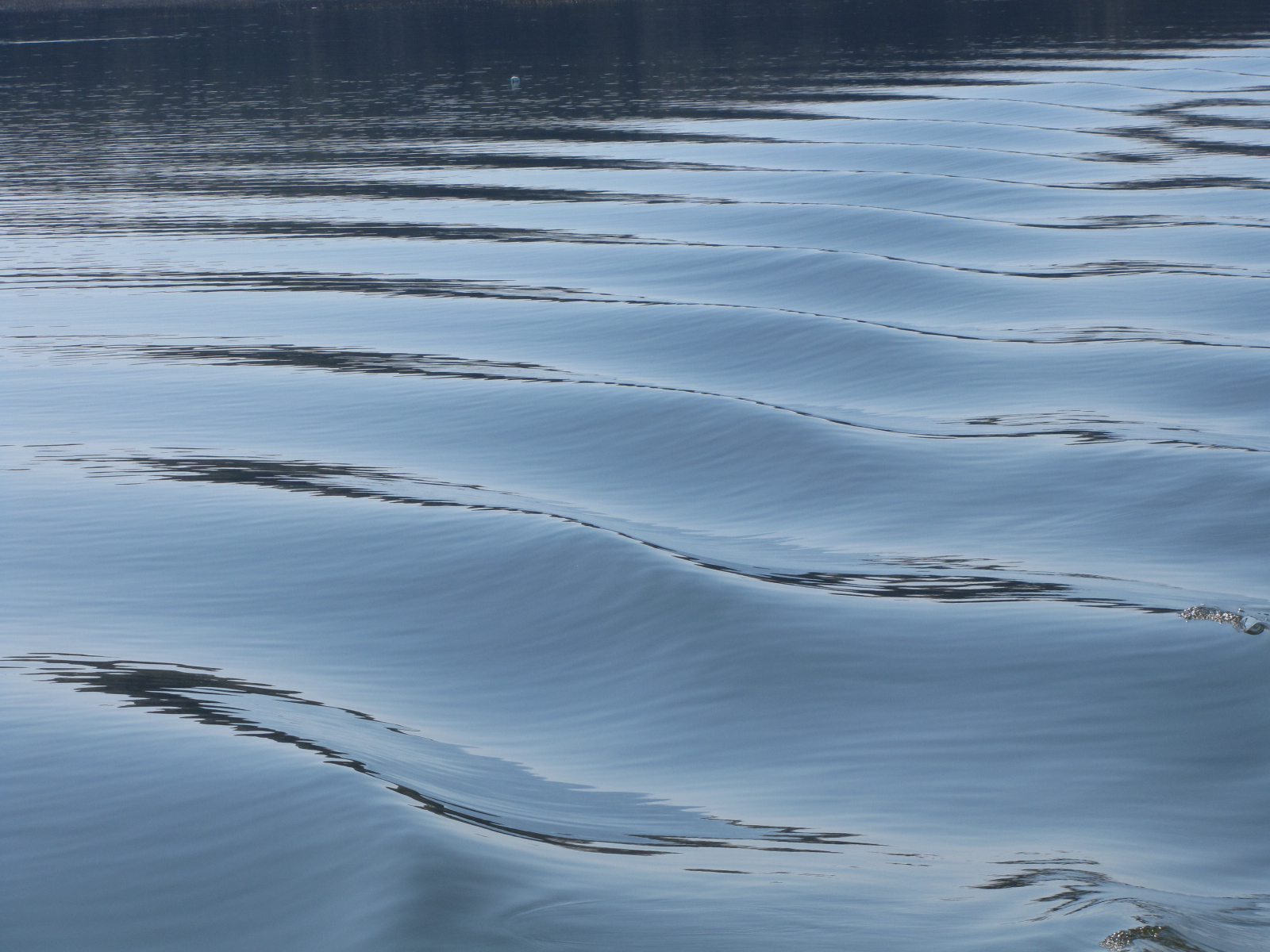
IMG_4969;;;;;;

IMG_4978

IMG_4970

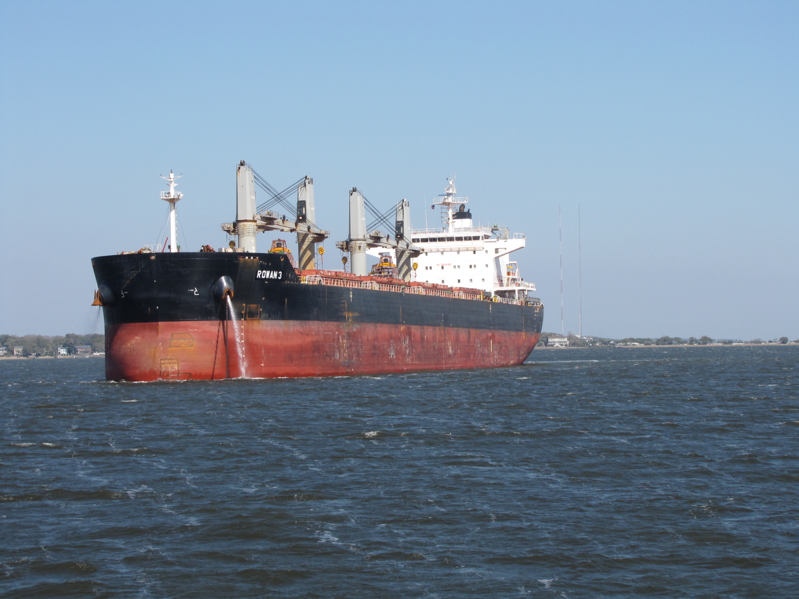
On Monday morning we left before 8 to continue on with our trek to Myrtle Beach.  We again went through a number of rivers, and sounds,  and passed though the busy port of Charleston at about 1330.

IMG_5011 IMG_5015 IMG_5017

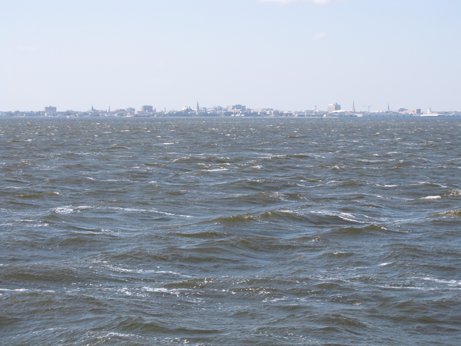
The wind began to pick up to about 10-15 miles per hour and caused some ugly waves in the harbour.    We had planned to anchor at Dewees Creek, but when we checked out the suggested spots, there was no protection from the wind so we decided to go 4 miles farther to Whiteside Creek, at mile 451.5, (so another 65 mile day).   It had a bunch of trees near one shore that gave us some shelter from the wind.  Once it became dark, the wind seemed to subside.

IMG_5019     On Tuesday, we were up early and left before 700,  we had decided that we could make Myrtle Beach, if the currents were favourable, as it was only about 67 miles.    We saw these two guys in this little boat-  I think they were trolling  or was he paddling like a gondolier?–not really sure.

IMG_5027

We had only been traveling a couple of hours when we came to the rescue of a fellow boater.  A sailboat had gone aground outside of the channel and the  wake from the boat ahead of us had pushed him further towards the bank.  He threw us a line and we pulled him off the shoal.

The scenery was similar to the previous few days, but as we proceed north in South Carolina, there were more trees and bush, we even saw  what looked like a  fire tower  near the channel.

IMG_5033

We also came across this sign- but didn’t see the bridge in operation.

IMG_5035

At the Wacca Wache Marina, we saw this  multi mast sailboat tied up.

IMG_5049

Also saw a few advertisements for our marina along the trip.

IMG_5046

We arrived at Osprey Marina at 3:45,  the first slip that they had assigned to us was too narrow, so we are currently on an end dock.  The plan is to stay here for the entire month of  March, so Andy can get some golf in with his buddies, and I can re-charge (and do some shopping while Andy is golfing).
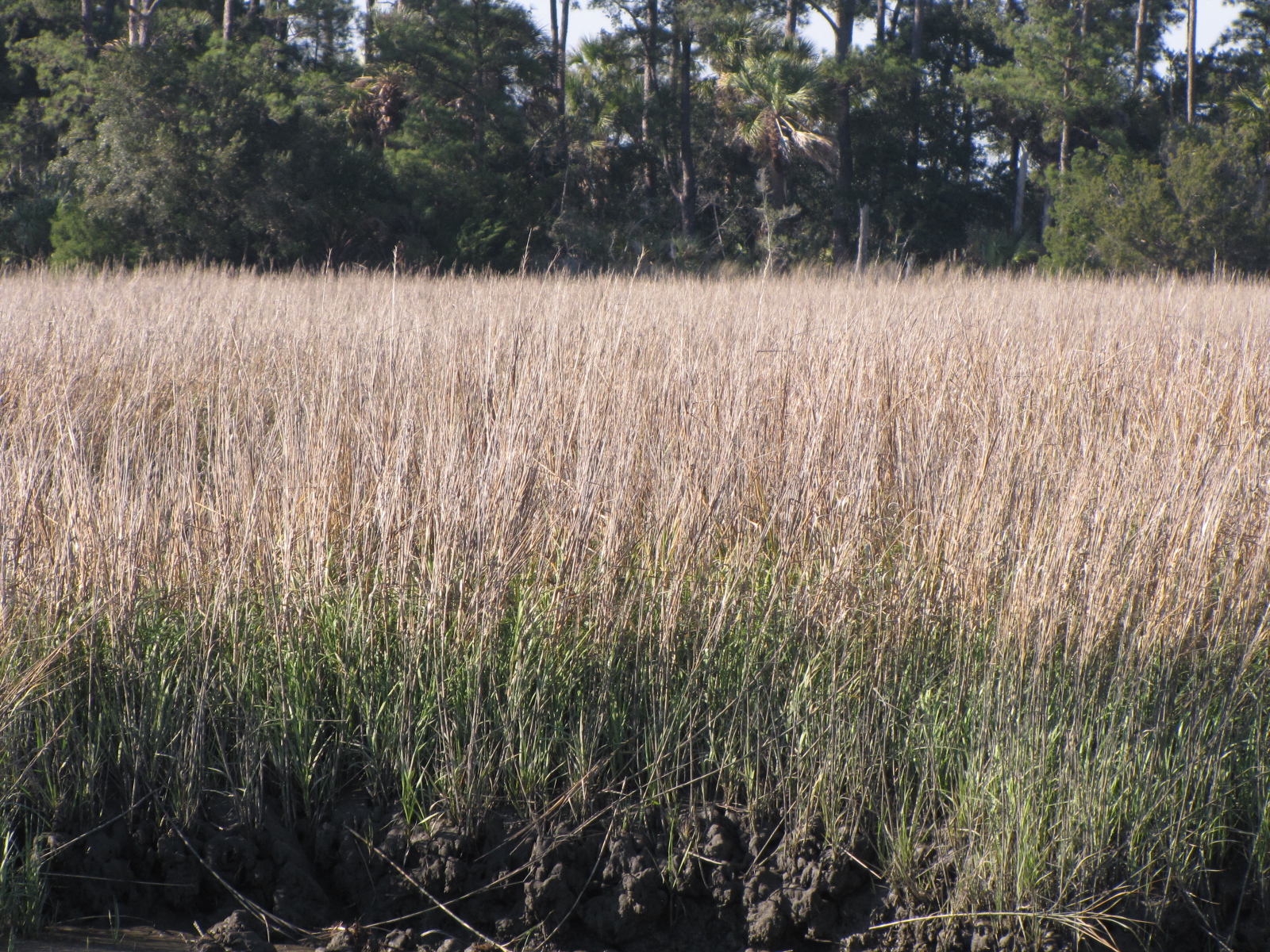
In Thunderbolt Georgia

We left Brunswick at 9:30 on Thursday and followed  various tributaries  for many hours.

IMG_4911

We  were told that we would see lots of wildlife on this part of the trip- does this look like wild life to you?

IMG_4912

We passed through acres and acres of marshland that looked like it could be fields of some IMG_4919type of grain, however with the tides in Georgia, some of these fields likely get  flooded twice a day.  Maybe they should be growing rice. The wind blew  most of Thursday, and we had very little cover in the marshland.


IMG_4910 As well we had to traverse through several sounds  (inlets from the Atlantic)  or cuts in order to get from one river system to the next.  On Thursday  we went through  St. Simon, Altamaha, Doboy, and  Sapelo Sounds.  The water in each of these areas was quite choppy and we were tossed around, the boat also acquired a new layer of salt because of all the splashing.

IMG_4913


We had wanted to go about half way to Savannah, which is just over a 100 miles from Brunswick but we found that  the first anchorage we had chosen had no trees and because of the wind  we didn’t feel comfortable staying there, so we wen another 10 miles and ended up anchoring in Walburg Creek at 5:00 with trees and houses to the east of us

IMG_4915and marsh field to the west. (at low tide this  marker is on the bank)

IMG_4916Since this was just over 65  miles, it made for a shorter day on Friday.  The wind died down a little in the evening but  it was high tide at 10 pm, low tide at 4 am and then rising tide again, so we swung around a little in the channel.

We woke up Friday and it was 43 F,  a little chilly- we turned on the generator and heat pump to warm up the boat before setting off for the day. On Friday we only had to go through two sounds- St. Catherines, and Ossabawa, which were a little rough.

IMG_4920 We also had to go through a narrow shallow  channel called Hell’s Gate, but because we were there a mid- tide, we didn’t have any less than 8 feet of water.  Near Isle of Hope I saw this Georgian  beach house/mansion.

IMG_4922

We arrived at Thunderbolt Marina around noon.  We rinsed off the boat,  took showers and then went to a near by restaurant for supper.  Tomorrow we are going to take a bus into Savannah and do some sightseeing

Feb 22-25 Brunswick Landing Marina- Georgia

We saw this tug coming into  the Marina on Monday, and Andy said it was the type of boat he was originally wanted to buy-  He also liked the name on it.IMG_4891
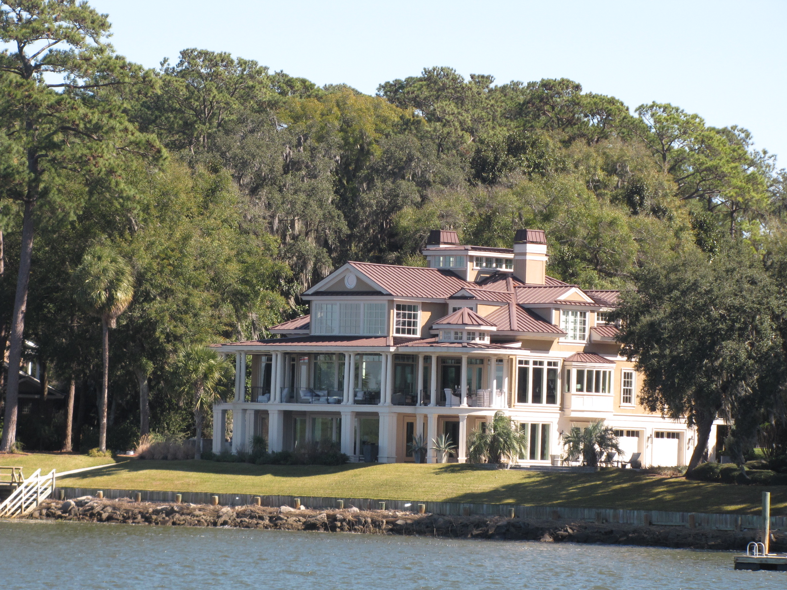
On Monday night after having several glasses or wine and Beer, we went with Billy, Maryellen and Tom to Fox Pizza, as the Basil Thai restaurant is closed on Monday.  The food there was excellent, and because we were patrons of the Marina we got 10% off—even better!

On Tuesday we went to the clubhouse to do laundry, several of the machines were busy so we had to wait, but they have an extensive library, so I was able to pick up a book to read.  The main yacht club building is a bit of a hike- so we used the free Marina bikes to get there and back.  Later in the afternoon we went and walked around on the main street called Newcastle, and ended up at the Thai restaurant for an early supper—I had a red curry with chicken that was great.  While there a rain cloud passed over and it poured for several minutes and then a rainbow appeared. Once again we got a discount on our bill because we came from the marina.

Tuesday night we went up to the south boaters lounge and watched a little TV and kept an eye on the tornado front that was moving across Louisiana , Alabama and Florida.  We made the decision to stay in Brunswick an additional day, as the predicted winds would be unfavourable for leaving the dock on Wednesday.

Here’s some pictures of the waves and swells around our dock on Wednesday we added a couple of more lines to help reduce the bouncing.  We think that the wind was gusting  well over 45 mph at times.IMG_4893

IMG_4898

IMG_4901On Wednesday Angelia from S/V Winedog, took us grocery shopping in the commercial area of Brunswick.    Later in the afternoon, Angelia and her husband Andy came over for a drink and some shrimp.  After supper we skyped with Jack and he  practiced his reading by   telling us part of the Runaway Mummy story.

With Super Tuesday and the  Georgia Primary being part of it — I saw this sign posted near the Marina- so had to include it.IMG_4904I can’t say enough good things about this marina- FREE wine&beer, laundry,  bottled water, pump out,  secure reliable internet, clean washrooms/ showers and discounts at some of the local restaurants  for  only $1.50/foot.  The posted price for Diesel is $1.49/Gallon– we will be filling up before leaving.  This is one of the better places that we’ve been to in the past 4 months!

February 25

The wind blew on and off during the night, and it has now changed to the  west and diminished a little. The plan is to move on and spend the weekend in Savannah at Thunderbolt.

Final days in Florida

Thursday Feb 18

We left Nettle Island  at 8:00  continuing down the Indian River and passed through several towns including Fort Pierce, Vero Beach and Indian Beach.  We saw  a new way of advertising- just anchor your boat in the middle of the channel.IMG_4773We also saw another Pirate ship.

IMG_4786and this Canadian sailboat.IMG_4768We ended up anchoring near the Melbourne bridge at 4:00, after going 63.5 miles.
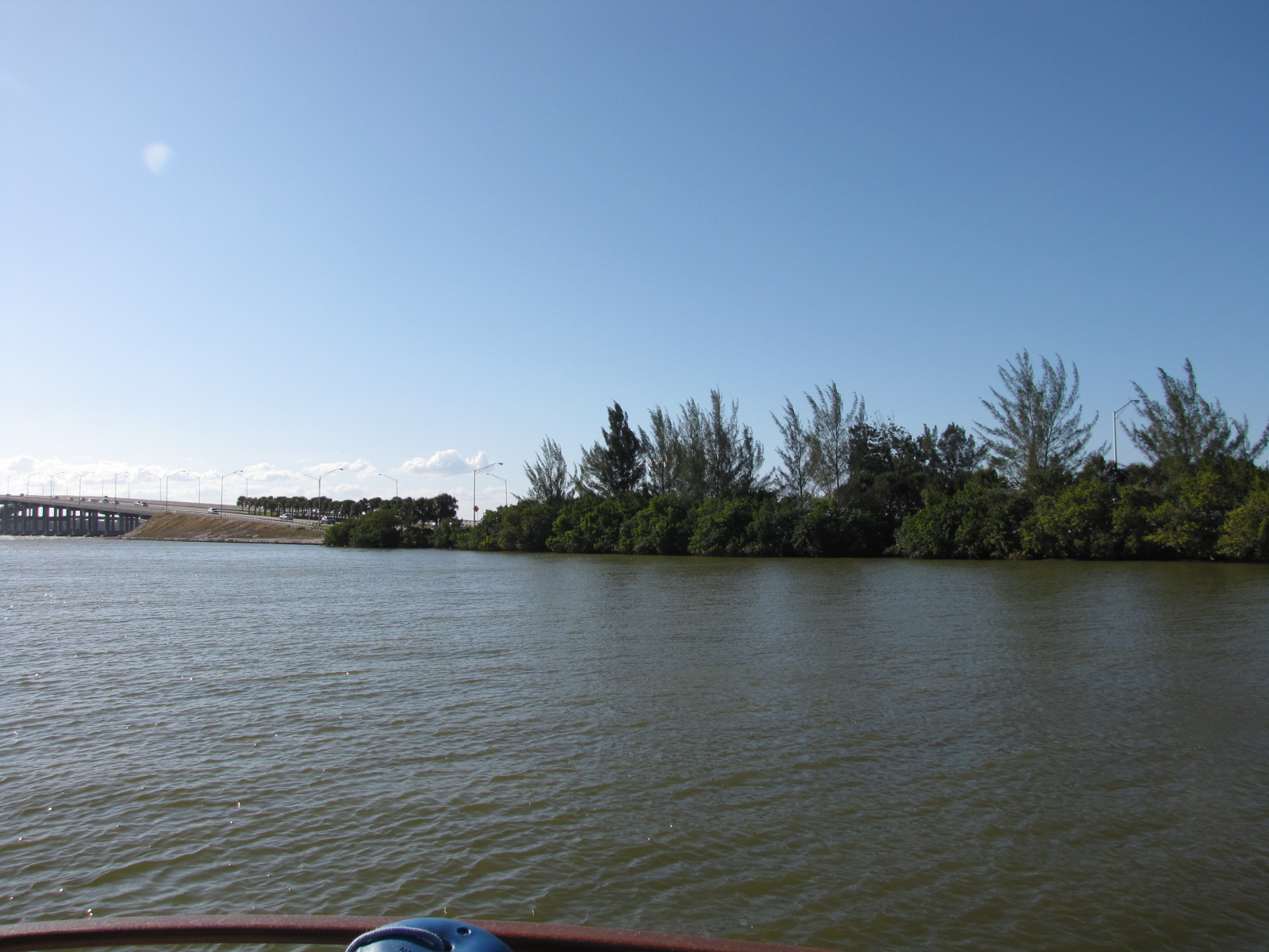
IMG_4788Another Canadian boat ended up anchoring near us- their boat name was “just faking it”, Andy talked to them on the VHF radio.

Friday Feb 19

With the winds blowing through the night, we found that our anchor had dragged somewhat- so  the Admiral stayed up from about 3 a.m. on to ensure we didn’t get too near to the shore or other boats.  At 7:00, we departed Melbourne and continued northward, we passed through Sebastian, Eau Gallie, Palm Shores, and Cocoa, Titusville.    We saw the Kennedy Space Centre and launch pad from a distance as they are located on the Banana River, which is parallel to the Indian River and   closer to the Atlantic.    We continued on the Indian River entering the Haulover Canal at mile 869 and into the Mosquito Lagoon—it must be too cold for mosquitoes- cause we didn’t have an issue with them yet. We ended  up at a free dock in New Smyrna Beach at mile 846.    We met some other boaters at the dock,   Terrapin and Catalina 315 that gave us some tips about places to stay farther up north.IMG_4804Feb 20IMG_4803 There was a farmer’s market nearby that I wanted to check out prior to leaving the dock.  I bought some baking, fresh beets and some hot sauce.  We departed New Smyrna at  7 50, and continued North on the Indian River.  After Ponce de Leon inlet, the ICW becomes the Halifax River. Here’s the lighthouse:IMG_4812Prior to reaching Daytona Beach we went through a small community called  Wilbur by the Sea, we reached Dayton Beach around  9:45.  There was lots of boats on the river, and at the marinas we passed by- I wondered if maybe this was because of the Daytona 500 race.  Andy said this pillar with the 2 on it is part of the racetrack.IMG_4825We also saw jets- likely the Blue Devils, fly in  formations. We passed through  a number of beach communities and Palm Coast,  here the name of the ICW body of water became the Matanzas River.    We continued northward through Marineland, Summer Haven, Crescent Beach, and reached St. Augustine around 15:00.IMG_4840After going through the Bridge of Lions, we overtook Catalina 315, a sailboat, which had left New Smyrna several hours before us. We were now traveling on the Tolomato River.IMG_4843Since it was a nice day with very little wind, we decided to go another 25 miles north and anchor out near Pine Island at 4:15.IMG_4850Feb 21

We weighed anchor at 7:20 and continued on our journey, it was another relatively calm day so we had hoped that we would get out of  the state of Florida.   We traveled along the Tolomato river which turned into San Pablo creek at Isle of Palms,  we passed through Jacksonville  and Mayport, which is  near the inlet for the St. Johns River. Throughout the day our speed changed from 7.2 to 11.3 depending on where we were and the tidal currents caused by the many inlets we passed.  At Mayport we entered Sisters Creek and followed it for 10 miles until we came to the Nassau Sound inlet and the South Amelia river.  By 12:30 we had reached Fernandina Beach and the St. Mary’s  Entrance, and we were ready to say good bye to Florida.IMG_4862Shortly after getting into Georgian waters, we heard on the VHF radio that there was a war ship entering the harbor and all boats had to  give way and 500 yards  of clearance.  We were hailed by the security vessel with blue lights flashing and told we would be escorted  out of the area.IMG_4869Luckily we were close to the marker leading us away from Kings Bay Naval base.  The warship was actually a nuclear submarine that you can see peaking out of the water in  the centre of this picture.IMG_4871The captain says “depending on your perspective- we were either chased by a nuclear sub or led it to it’s home base” .  We went another 10 miles north and ended up anchoring in Shellbine Creek at  3:00,   at low tide in 8.4 feet of water, several hours later when high tide hit we were in 15.8 feet of water.  The landscape looks quite different depending on how much water is around.  At our anchorage we were visited by a pod of dolphins,  Andy counted at least 11 that were happily swimming around and snorting.

IMG_0646During the night the boat swung around as the tide went out and came in again.

Feb 22

When we left the anchorage at 8:45 it was high tide and we were at 16.3 feet of water.  We traveled  the 20 plus miles to Brunswick Landing Marina passing through  St Andrew Sound inlet, where  I saw this lighthouse on a cliff.IMG_4882 
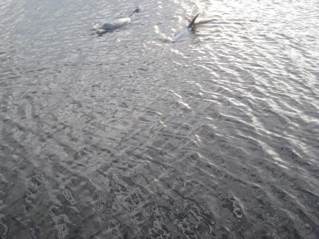
We then took the Jekyll Creek  and entered St.Simons Sound inlet , where there was quite a current and progress was slow.  On our approach to Brunswick we went under this bridge, which  has a 185 ft clearance.

IMG_4889We arrived at the Marina at 11:30 and tied up.    Once we were checked in we spent the next 2 hours scrubbing down the outside of the boat as there was salt everywhere.  Plan for the remainder of the day is to  go to the clubhouse at 5:00 for a free drink  and then to a Thai restaurant for supper.

Nettles Island Marina- Jensen Beach

Feb 15-18

IMG_4760

One of the many pelicans that hangs out here…

Once we were settled in at the marina, Andy called Don Allin, a friend from Toronto.  Don was actually the yacht broker that we had bought “On Business” through.  Don and his partner Barb, spend two months in Nettle Island, so they were relatively close to the marina.  Don had offered to take us anywhere we needed to go by car.  We imposed on him and went out to Walmart in Stuart  to reprovision.  On our way back the skies opened and the rain fell for over an hour.  That night we went for supper to a restaurant called shuckers.  The food was very good- Elaine and Andy enjoyed the seafood special,  while Don and I had BBQ ribs, and Barb had eggplant.

On Tuesday, Don had agreed to take Elaine to the airport in Miami, Andy went along for the ride, and I remained at the boat catching up on some cleaning and paperwork.  That evening Barb and Don stopped by after their dance class.

IMG_0640

On Wednesday morning we had originally hoped to leave Nettle Island and start northward.  We began the day by calling the local Xantrex service centre to see about getting a new battery charger as ours did not seem to be working.   We were given some advice from the technician when he called back, but was told they don’t keep the chargers in stock and it would take at least 10 days to get them as they are shipped from Burnaby BC Canada.  Andy did some tinkering in the engine room as was able to get the main battery charger operational.  We still need to replace one of the digital eco charge boards for the house batteries- which is available at West Marine.  We called around to the local West Marines, but no one has them in stock.  We decided that we will order one on line and have it shipped to the West Marine in Murrell’s inlet, as that will be the nearest store, once we arrive in Myrtle Beach.

Andy needed some in-line fuses, so he called Don and was able to get to a hardware store.  We went for drinks in the Tiki hut and met a couple from Vermont, as well as the owner of the “Boomer too” boat from Hamilton ON, which is parked beside us.

IMG_0638

Thursday morning we are moving north- but  not sure  how far we’ll get.

eastflorida


Final days on the Okeechobee Waterway and with Elaine

Feb 13- Pahokee

Saturday morning the sun was shining and there was very little wind, we continue our trek eastward from Moore Haven which is located on the south west corner of the lake.   We continued along on the  Caloosahatchee Canal until we reached Clewiston  which is the decision point as to whether the Lake route is taken (25 miles in open water) or the Rim Route, which is 35 miles along the edge.  Since we had already done the Lake crossing- we choose to do the Rim route- so that we could see some other places on the lake.  Prior to arriving in Clewiston, we were passed by 11 people on Jet skis,

IMG_4728

we weren’t sure where they were headed but on the following day we saw them again just outside the  St. Lucie lock- so they must have crossed the lake and gone  at least as far as Stuart.  At the boat launch near Clewiston, Andy counted over 35 boat trailers- we learned that there was a Bass fishing tournament on the lake- which explained all the go-fast boats zipping around us.  We went by Torry Island-  where there was a camp ground and even more boat trailers.

Here we  watched the  swing bridge” man”ually  cranked open .IMG_4732

It was a nice day so we called ahead to Pahokee mile 50.6, to see if there was a slip available for the night, and were told we could dock in a free space on Dock a, b or c.

IMG_4733

The first slip we chose on Dock c, ended up being too short- so we moved to a second one.  Once we were all tied up- we realized the 30 amp  shore power outlet wasn’t working  and our 50-30 amp adapter wouldn’t fit.  So we had to move a 3rd time- after pre-checking the power boxes to find one that was working  ( many of the power boxes had wasp nests in them  or appeared to be burnt out)– we chose to move to Dock B.    Pahokee likely has about 100 slips, however only 11 were occupied- many were inhabited by gulls and other birds and covered with poop.

IMG_4734

While having cocktails on the back deck

IMG_4738  we did meet another Canadian who stopped by after seeing our flag  and later another Looper stopped by and  we exchanged information with  him.


The marina has a break wall, where   dozens of people were fishing for ‘crappies’,

IMG_4748

and I guess that’s what attracts the birds.  After supper we took some great pictures of sunset,

IMG_4741

the wind started to pick up and we learned another reason why there wasn’t many boats there—inside the marina becomes a pin-ball game—the waves bounce around hitting you multiple times.  We put 8 ropes on the boat to secure us to the dock and we bounced all night long- with Andy checking the ropes  every hour—a sleepless night in Pahokee!  This could be a nice Marina- but the maintenance and break-wall design sucked!

February 14- Valentine’s Day

We left shortly after   900 and continues along the Rim Route towards Port Mayaca Lock,  there were a few waves, but nothing like what we had experience the last time we crossed the Lake.  We arrived at the Lock at 1030 and were able to drive right through,

IMG_4752


since the Lake was high, the lock was wide open letting water out into the St. Lucie canal.  At mile 28.2, we had to wait for 15 minutes  at the Indiantown railway bridge, as an Amtrak passenger train was expected .

IMG_4753

We passed throught the  St. Lucie lock at 200, and arrived at our anchorage in the 4 rivers loop at 220.  The boat hardly moved through the night and we all slept a lot better than the previous night.

IMG_4755

Feb 15- President’s Day in the USA/ Family Day in Manitoba

We  weighed anchor at 912 and   headed up the  St Lucie Channel into the Saint Lucie River.  At Mile 0 of the Okeechobee waterway, we turned north and  entered the  Atlantic  Intracoastal waterway/Indian River  (mileage 987.9).  We proceeded about 10 miles  to the Nettles Island Marina located at mile 979.2.   Enroute we passed about 50 small sailboats in a regatta—this seemed fitting  for a send-off for Elaine as we had been in the middle or a regatta 3 weeks ago when we picked up Elaine in Miami.  It was quite windy when Andy  tried to dock — the wind was pushing us away from the dock, we finally got our lines secured.     There is mainly sailboats at this marina.

IMG_4759

Hello Keys—Hanging out on a Ball

January 26-30 update

After doing  some shopping and picking up Elaine at the airport, we returned to the boat, to show her the 5 star accommodations for the next three weeks. With unfavourable weather in the Bahamas, we made the decision to go down to the Keys, as far as  Marathon and then head north to Fort Myers and then cross Florida through Lake Okeechobee ( rim- route) and come back to Miami  while Elaine is with us.

On Wednesday morning, we left Bayshore Marina at 10:40 and headed back out into Biscayne Bay in southern direction.  Once again we had to dodge sail boats, as the international regatta was continuing.   A small dinghy, having seen our Canadian Flag, drove by us, as they also were flying the Maple leaf.

IMG_0305


There was some wind and there was a light chop as we got away from land.  We passed the Turkey Point nuclear plant about 1:00, and had a little more shelter from some of the smaller  uninhabited   “Keys”.  We entered Card Sound and  anchored in angel fish Creek, near  Grayvik, in North Key Largo.   Between the tidal current  and winds and a thunderstorm , we somehow turned around during the evening and our anchor indicator (milk jug with a string; that I try to tie off at about 3 X the depth) was caught under the boat (we could hear it scraping).  Not a good thing, as it could get caught in the props or rudder.  Andy said that we may have to swim under the boat in the morning and cut the rope.  Well guess who didn’t sleep after that-  me  being the better swimmer I would have been assigned that task and the thought of swimming in waters that may be jelly fish, shark or alligator infested scared me.   The water here,  is a  lovely aqua blue, not black and murky like Lake Winnipeg. Once it was light, at 7:00, Andy moved the rudders  and then stared the boat, the milk jug popped out- with the rope cut.  Thank goodness for that- no swim for me!

Seeing as how we were up, and there was another storm predicted to blow through the area, IMG_0311we chose to moved on .  We followed the ICW through Barnes Sound,  passed Key Largo,


Tavernier and Islmorada (Purple Island) , which is located on the Upper Matecumbe Key. With bad weather still looming we tried to make as much distance as possible going through steam boat channel- (the shallowest part of the loop so far) while at high tide.   We were being followed by dolphins yet again.

IMG_0395


We found a complimentary mooring ball on the west side of Lignumvitae Key and tied up at 2:00—there were crab pots everywhere that had to be zigzagged around.  Being the first mooring ball that we had used- I was not sure of the process and I managed to drop the boat hook in the water—thank goodness it floats. On the third attempt we managed to get the rope through the loop and tied off to the Captain’s satisfaction.


IMG_4594

A weather system with rain and winds passed though in the afternoon and evening, rocking us around, but we were more secure on the mooring ball than we would have been with an anchor out.  We started calling Marina’s in Marathon to get a slip for the next day—but all were booked up and some didn’t have openings until late March.  We finally found one that we could get into on Sunday.  We have stayed attached to the mooring ball, reading and playing cards in the evening.    There is another Looper boat- Phaze II  at the next mooring ball, which made contact with us Friday morning.

IMG_4593

Friday was a sunny day and Elaine and I read our books on the back deck and got some sun- a little too much in places.  Elaine is a great crew mate!   Here’s a picture of the McKendry siblings, having decktails.

IMG_4597

Early Saturday morning the wind picked up slightly, and we are once again bouncing a little.

Trending in Coconut Grove

January 24,25

We left the anchorage by 9:00, and traveled under quite few more bridges, crossed the Port of Miami entrance, where once again there were a number of cruise ships.

IMG_4553

We then traveled through the city of Miami and out to Biscayne Bay.

IMG_4551

We entered the channel to Bayshore Marina from the bay and saw over 150 sailboats participating in an International regatta.  They were everywhere including the channel we were in, Andy avoided them as best he could.

IMG_4554

We arrived at our slip and tied up by about 12:15.  Later in the afternoon we walked to a nearby grocery store.

Today, the technician came and was able to fix the head, and I did some cleaning. In the afternoon we walked to Coco Walk; a nearby district that has shops and restaurants.

coconut grove

For tomorrow, we have rented a car for the day, so we can go pick up Andy’s sister Elaine at Miami airport—the next visiting crew!   We also plan to do some banking and grocery shopping.  The internet at this marina; doesn’t work well so not a lot of pictures being added.

We will assess the weather on Wednesday morning and make a decision if we’re going to the Bahamas or the Keys or ?? ( it won’t be crossing the gulf to Carabelle!!)  for the next 3 weeks while Elaine is here.


Moving further south

January 21-23 Update

We left Sunset Bay Marina at about 10:15;  At 8:00 Andy started calling marinas and marine plumbers, to try and get someone to look at our Aft head, as it has stopped working.  No one in the area could do the work for at least 3 weeks, so we decided to move on and find someone closer to Miami.  We finally found a guy that will come to our boat in a marina we have booked in Biscayne Bay on Monday morning, provided we can get there. I called several marinas, before this one reluctantly agreed to take us—but the slip he assigned us to is due for some construction—I just hope it doesn’t happen next week!

We made it as far as West Palm Beach by 4:00 and tied up on a city dock, with our friends from I Love Lucy, who had got there several hours before us.  We are tied up in front of a very large ship called Grand Luxe.

IMG_4530


 We met the captain, and he allowed us to stay tied to the dock as he had  a permit to use it for the weekend.  In the evening  near to us in  West Palm there was a band playing and the Budweiser Clydesdales were parading through the downtown- and we’re not in St. Louis!

IMG_0612

January 22

Through the night it was quite windy and this continued on Friday with a small craft warning. We stayed put as it rained on and off all day.    At one point Andy talked to the captain from the Grand Luxe,

IMG_4533

and he said we should be fine on the ICW.  So the plan is to make a run on Saturday.

January 23

We got up early and cast off at 6:45- reaching our first bridge at 6:55.  Today was definitely the day of bridges.  We went thought 26, 7 of which we had to have opened as the clearance was less than 17 feet, some bridge open on demand, while others open on the ¼  & ¾  past the hour and others opened on the hour and ½. Andy timed it well- I think we only had to wait a maximum of 20 minutes for any opening.  I saw a giraffe  lawn ornament which I found interesting.

IMG_4540

We cruised through Palm Beach, Delray Beach, Boca Raton. Pompano  and then Fort Lauderdale  were we saw a number of cruise chips,

IMG_4545

and the inlet to the Atlantic.  I was also made aware that they are the yacht capital of the world.

IMG_4542

There was a warning that with the winds the waves in the Atlantic and Gulf would be over 8 feet, glad we weren’t  going out there.  Andy also noticed the Blue Moon   tied up at a marina there—he had seen this vessel back in September on Lake Michigan.

When we got near Hollywood, we saw the hotel that we had stayed at when AACC conference was here in 2013.   We looked at a number of recommended anchorages for the night but with the brisk wind we opted for Bakers Haulover Inlet (North Miami) which is next to Florida University at mileage 1079.7  It is a little breezy here and we’re swinging; but are far enough away from the other 15 boats that chose this anchorage.      IMG_4547

Will be moving to our marina tomorrow.