Tag Archives: Lake Superior

Our plans changed!

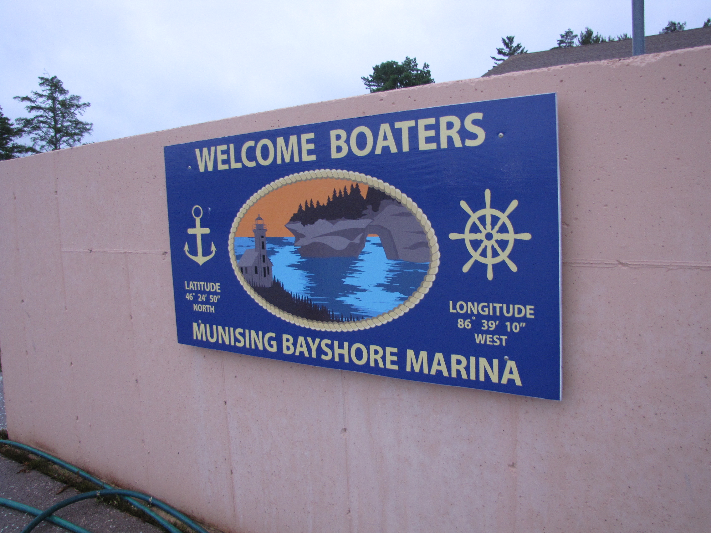
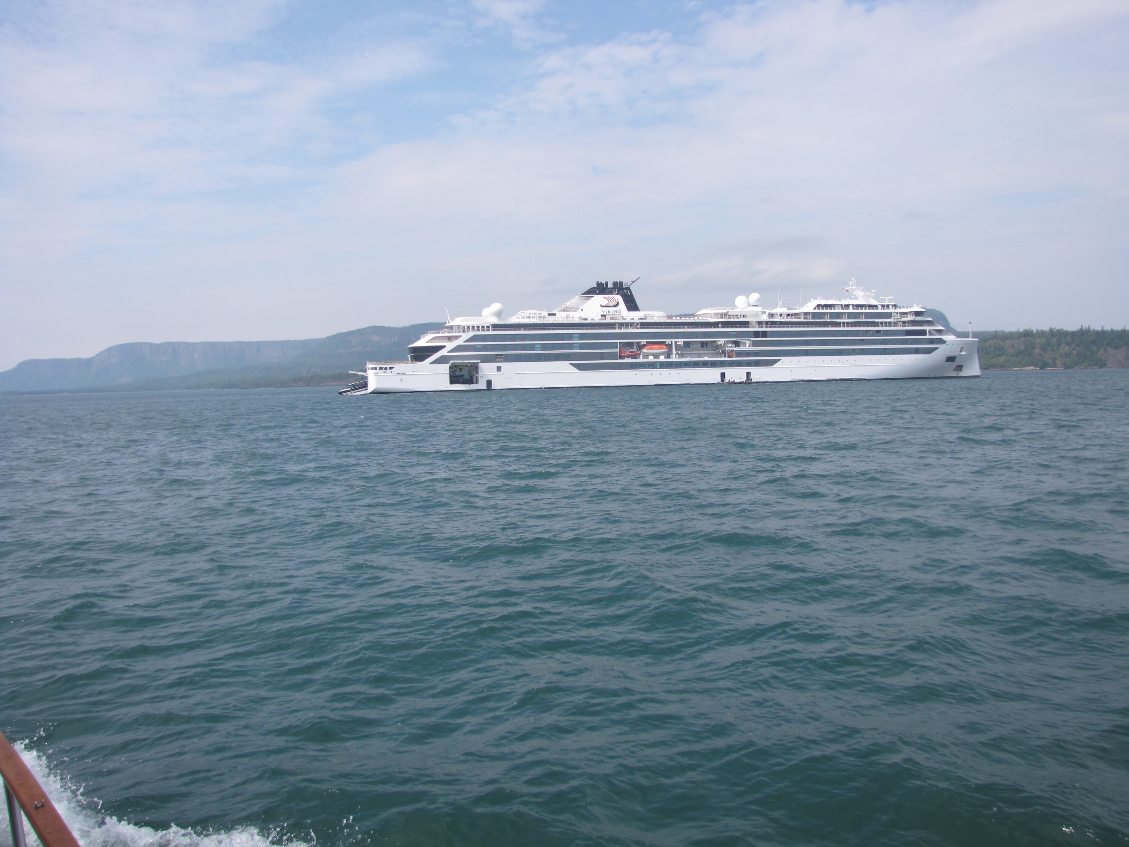
We went to the Keg on Tuesday night to celebrate the new props with Tim and Suzie. On our way back to the marina, we saw this cruise ship docked in the harbour.

On Wednesday morning we  headed out towards  Rossport.   We went the 100 miles, and arrived at 4:00, just in time for Andy’s virtual doctor’s appointment.  Once it was complete, Andy did the usually engine and fuel checks.  He noticed three things of concern,  there was a diesel fuel smell, he had encountered a few issues with steering, while we were enroute and noticed the transmission fluid on the Port engine was low.  He also noticed that we had used more fuel than was typical with the old props. We had a sleepless night, and in the morning, started to make a few inquiries.  The additional fuel usage, was due to the slightly different sized props.  So, we called ahead to Wawa, to find out if we could get diesel there, as we had in 2019.  Andy learned that the Michipicoten river was very silted this year, as there was no spring run-off—so obtaining fuel there was not an option. Andy called Chris, who lives in Rossport, and was the person that pulled us off the shoal on August 7th, Chris agreed to take Andy to Schreiber to get some more transmission fluid.  We also called McKellar marine in Thunder Bay to find out if there was an option to be pulled out there for the winter.  After much discussion, we decided that this was likely our best option.  Around 1:00 , we decided to start heading back to Thunder Bay again. We had completed all but 70 miles of the circle tour– just couldn’t get passed Rossport.

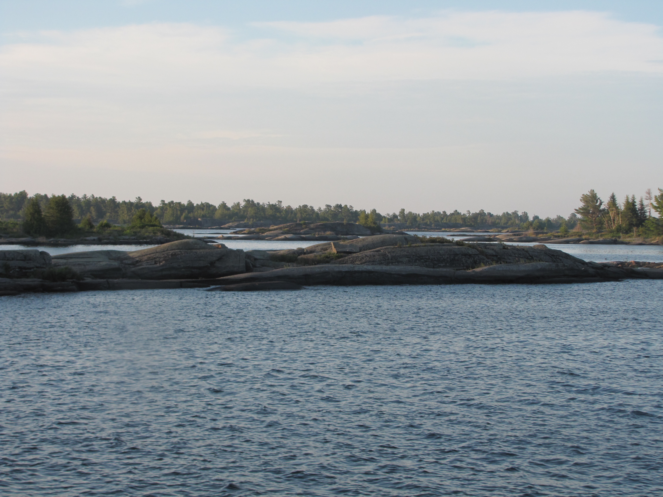
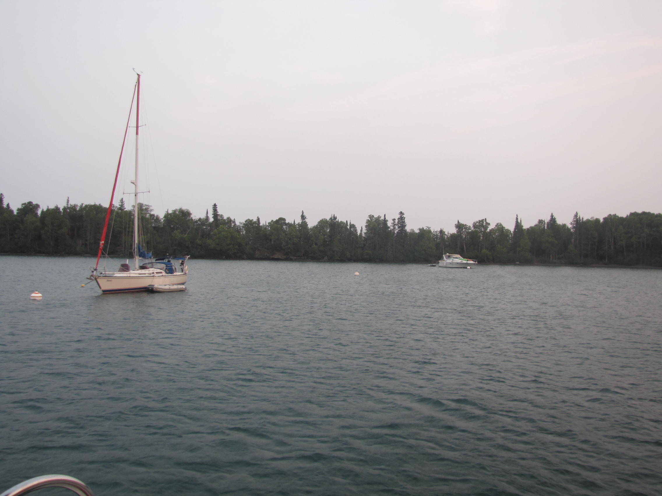
We were amongst islands, so were fairly sheltered, but as we got into more open water, we found that there were 3 foot plus waves, hitting us on the beam.  We went about 12 miles and pulled into a secure anchorage on Simpson Island- called Woodbine harbour. 

We joined another  boat that was already anchored there.    On Friday morning, we left the anchorage and returned to the open water,  but it had not settled at all,  there were still 3 to 5 foot waves- so we returned back into the anchorage.  We spent part of the day, adding a tinting film to the front wind shield sections.

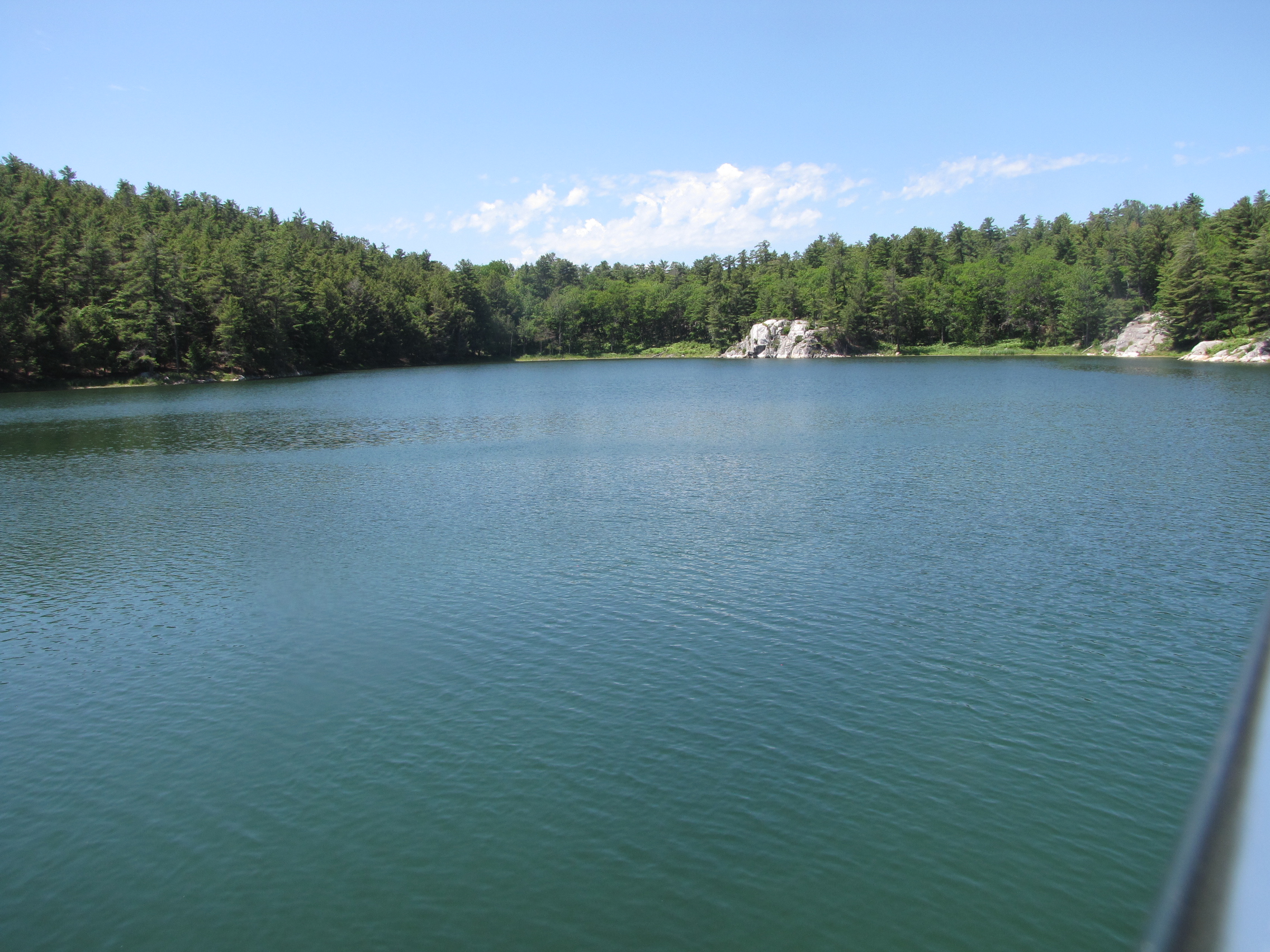
We also began packing up items, that needed to be put away for the winter or taken back to Winnipeg. On Saturday, the wind and waves had subsided, we ventured out, continuing our trip westward.  We had first thought we would anchor in the Loon Islands, but continued on  and ended up at Tee Harbour, which is part of Sibley peninsula (the sleeping giant), having gone 70 miles.  We tied off to a Mooring Ball.  We thought we would be protected as south winds were predicted, but once again we were bounced a little by swells. The cruise ship which we had seen earlier in the week, was still in the area- taking people to Silver islet, which was nearby.

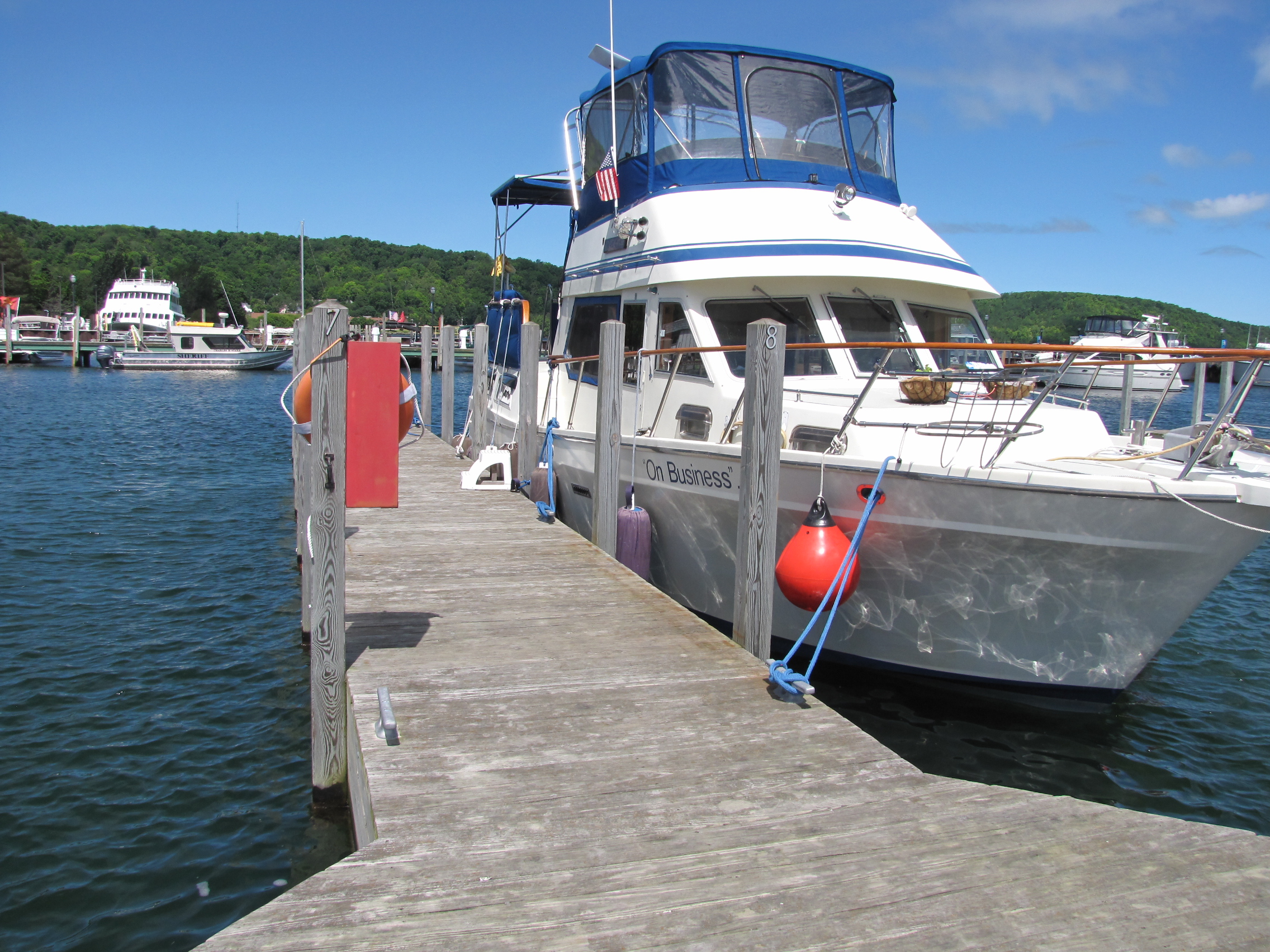
On Sunday we left Tee harbour and travelled 20 miles to Prince Arthur Landing.  We tied up in Tim’s spot, as we knew he was away at Thompson Island.

On Monday morning, we contacted McKellar marine and found out that we couldn’t actually stay on the boat there—so we decided to stay at the Landing one more night in order to pack up everything before moving the boat there.  We also moved up our rental car to Tuesday at noon, from Wednesday.   Since Tim was returning, we asked to stay another night, and  had to move to Pier 2.  When we plugged in there, we kept tripping the breaker, so yet another issue.  We hadn’t had this problem at any of the 4 other slips we had stayed at in this marina, so we are hoping it’s a marina issue and not our boat’s issue—yet something else for McKellar’s to look at.

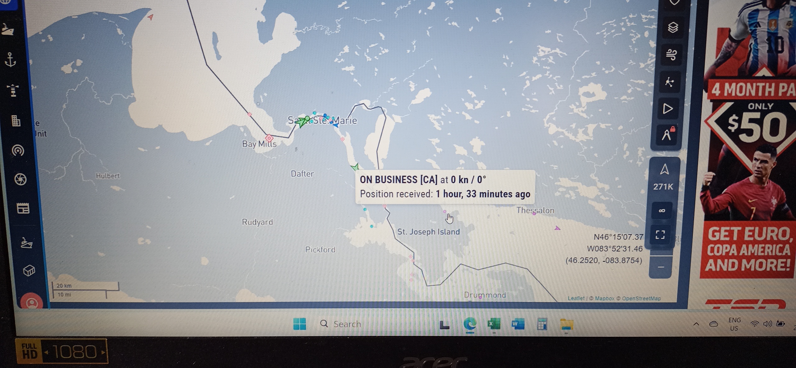
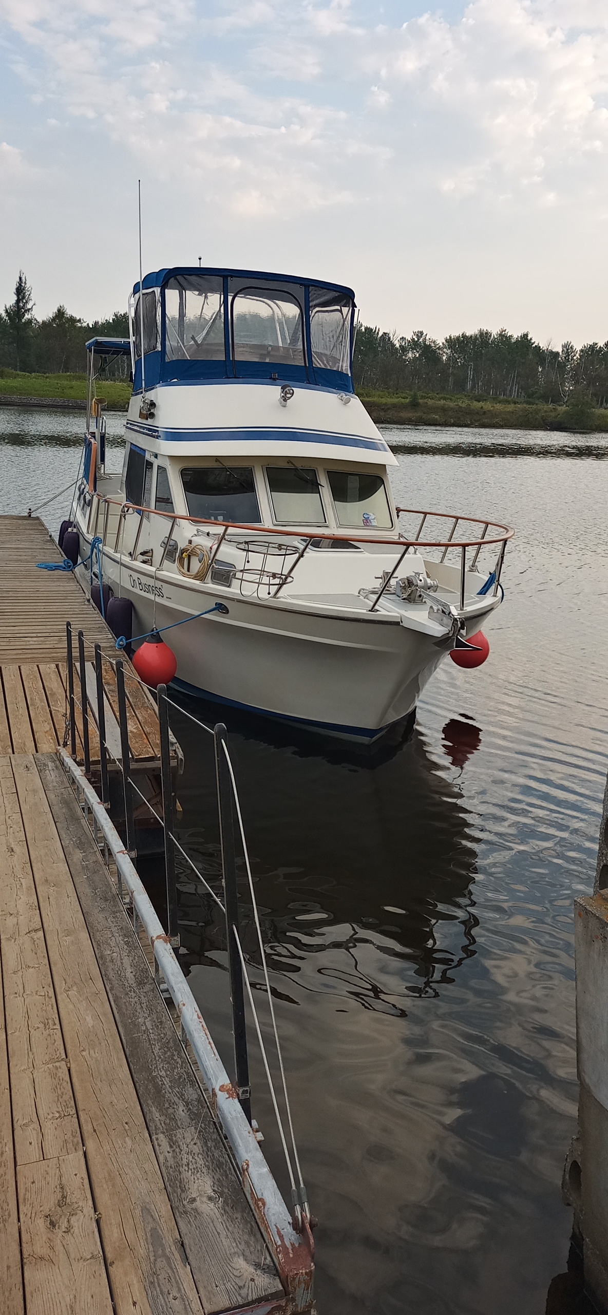
On Tuesday, August 20th, we left Port Arthur Landing and travelled to  the McKellar River and to the boat yard. 

Due to silting in the river, there were spots, where we had less than 4 feet,  but the channel was very well marked.  We arrived at 10:30 and were tied up.  We met with the owner, and technician.    Around 11:00, Tim arrived and drove us to Enterprise to pick up our rental.

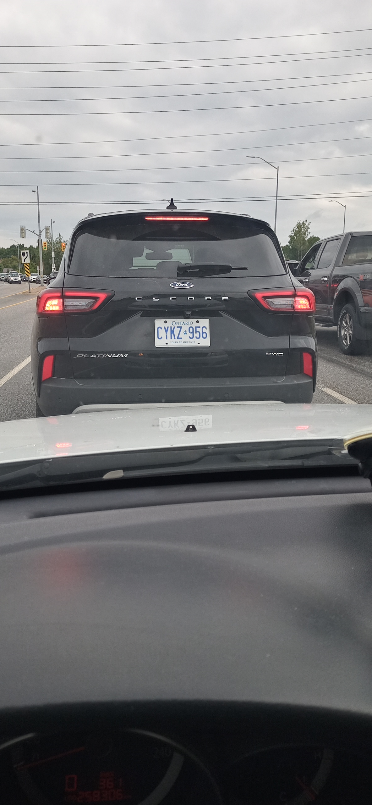
By 1:30, we had packed everything we needed to take back to Winnipeg, as well as the damaged props into the Ford Escape.  We then went to Teresa and Maureen’s place, where we were going to spend the night.  We arrived at their place before they did, as they were on their way back from Ottawa.  We decided to leave a box of chemicals and cleaning products along with another bag in their basement, to be retrieved in the spring.  We also left a plug in freezer with the contents of our boat freezer, which we will pick up on our return trip.  Andy cooked up some pickerel and it was enjoyed by everyone.  In the morning, we left and headed East.  We need to take the props to Kawartha props in Buckhorn for repair, and also retrieve our car which we left there in early June. 

We drove as far as Sault Ste Marie, and booked into the Water Tower hotel.  We met Pat and Marcia there for dinner and drinks in the bar as well as a visit. The next day we continued Eastward, arriving  at Buckhorn Yacht Harbour just before 3:00.  The props were dropped off and the car retrieved.  I was now given the task of driving—something I had done very little of in the past, as the Captain prefers to drive.  We left and headed up to Bancroft to spend a couple nights with Brian and Helen.  And yes, we did have Kawartha Ice Cream—can’t miss out on that opportunity!  On Saturday morning, we started back in a Westward direction, with Andy in the lead in the rental, and me following in our car. 

We  used the headphones/wife-savers which we typically use on the boat for communicating when docking.  We chose to take the northern route, going through North Bay, as the highway is divided for more of the trip with very little  construction.  We passed through Sudbury and Nairn Centre, and then were brought to an abrupt stoppage in traffic.  There was an accident somewhere near McKerrow, in 1 ½ hours we moved a total of 5 Km.  Once we got to Jacklin Road, we were able to detour around the accident site.  We arrived in the Sault  just before 6 pm and checked into our hotel.  On checking the 511 website, we learned that the highway had not re-opened until 5:45,  so we were very glad that we had found the detour. After eating we watched football on TV. 

In the morning, we left and gassed up before heading out for Thunder Bay.  Highways in north western Ontario, have lots of hills and curves—at times it felt like I was on a roller coaster—very different being a passenger vs the driver—but I survived.  Thankfully there were lots of passing lanes, and I had the captain leading the way.  We arrived at our hotel around 3:00—we had originally planned to stay with Teresa and Maureen, however they  were ill with Covid.

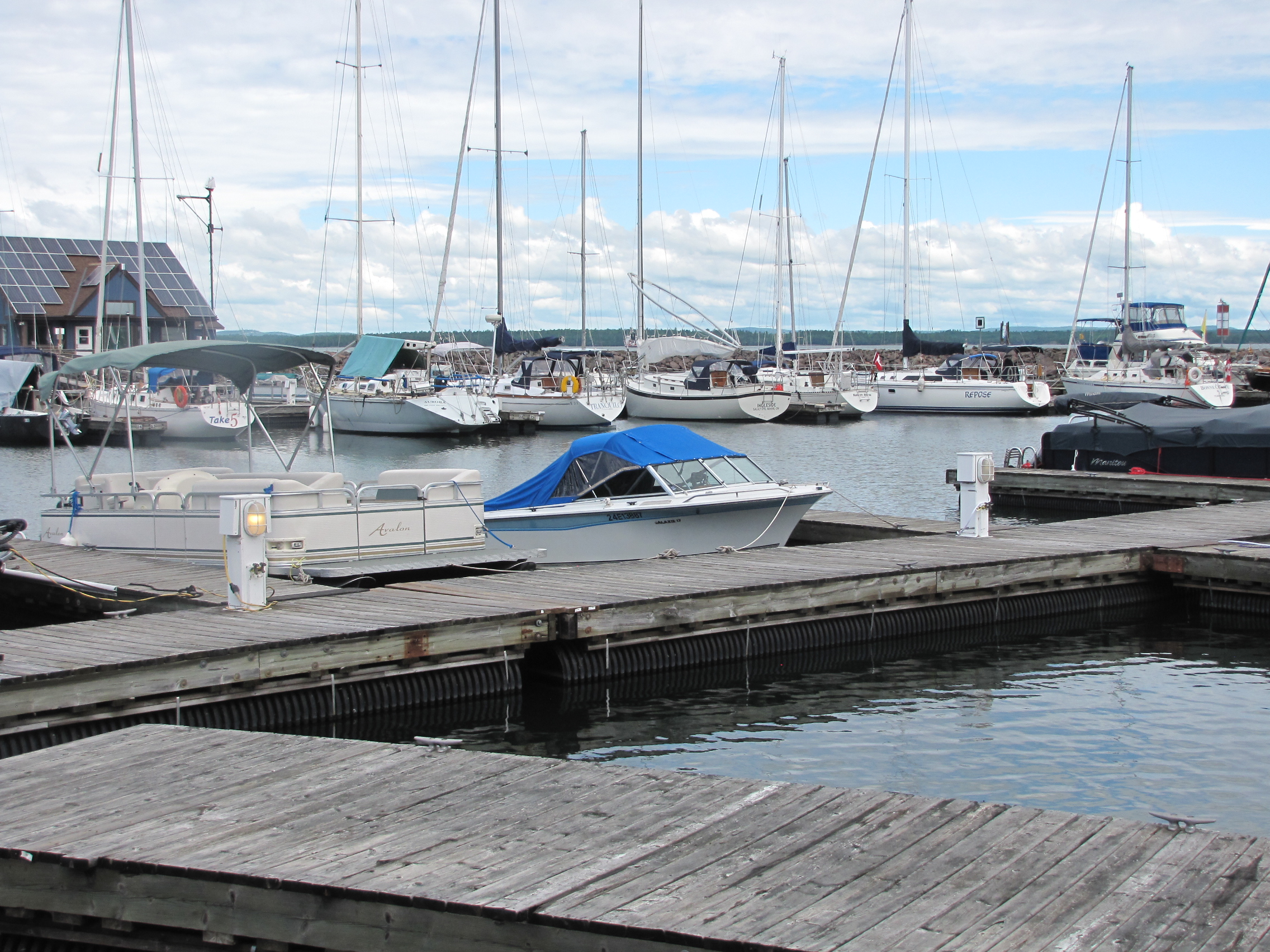
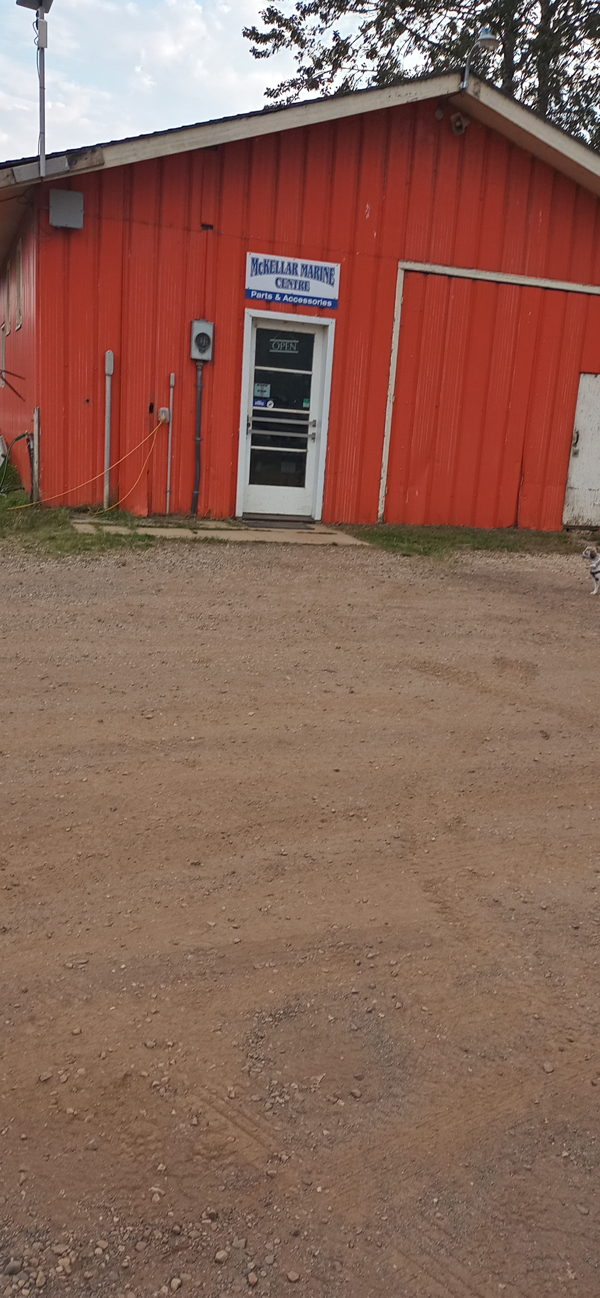
On Monday morning, we returned the rental and I gladly turned over driving the car to Andy.  We went out to McKellar’s Marine Centre, and Andy talked to Jeff the mechanic. 

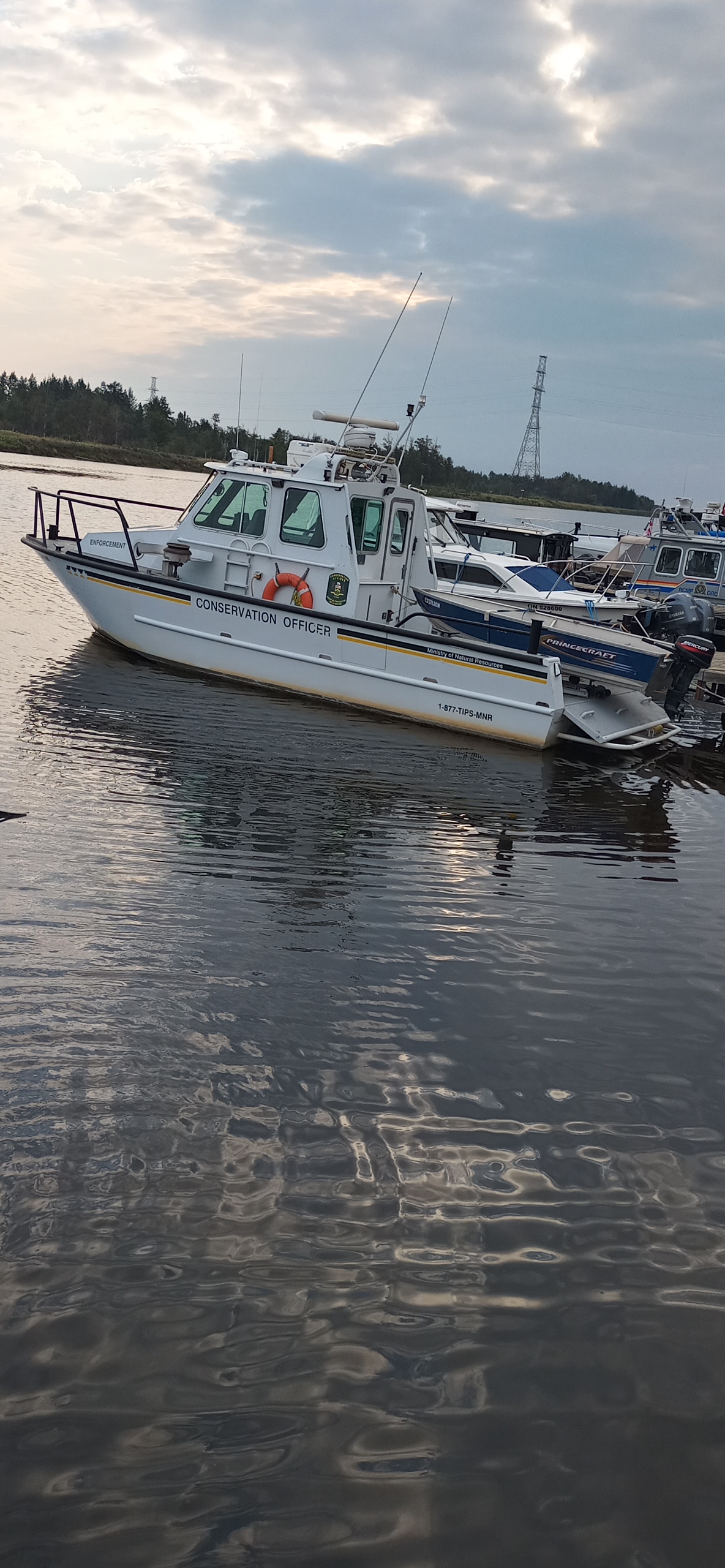
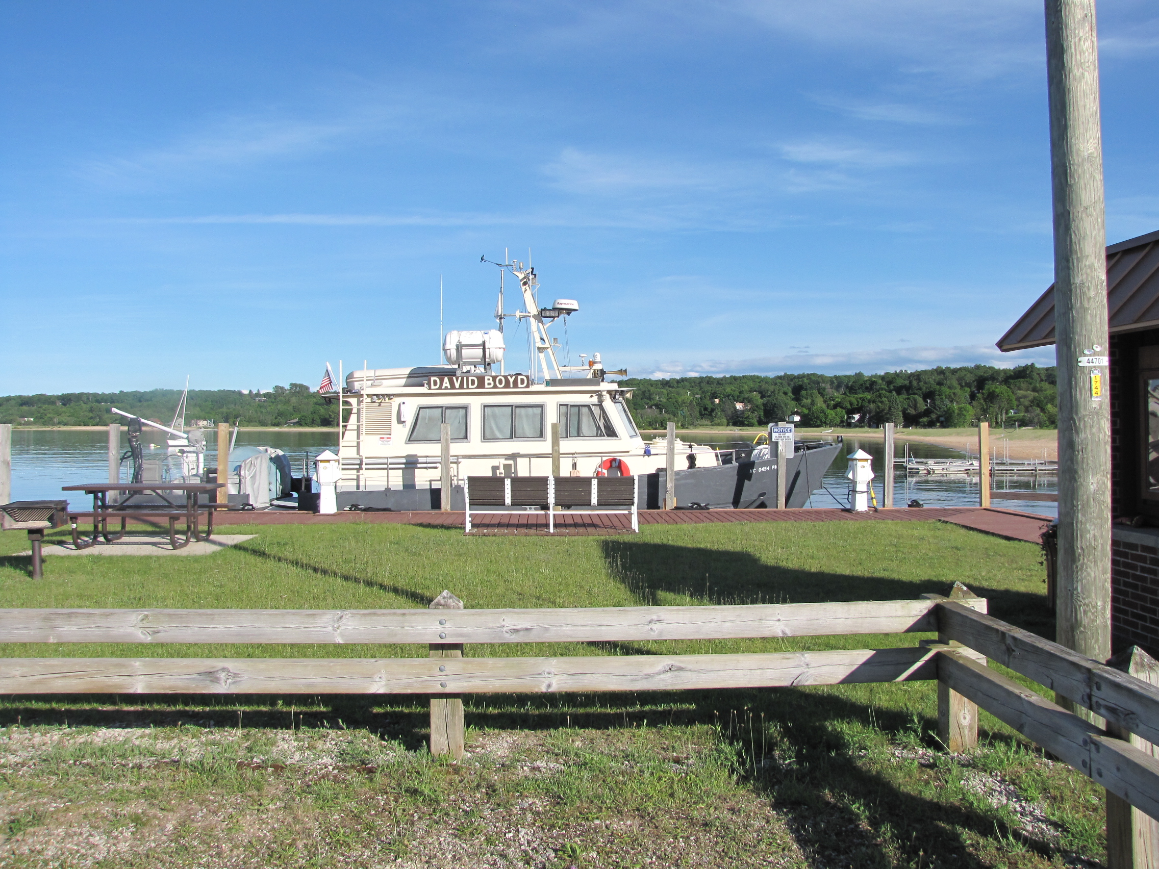
The boat was still in the water, Jeff thought he had found the source of the diesel smell- as there  was a crack in the exhaust pipe.  We picked out a couple of items we had forgot on the boat.  I included the picture of the conservation boat for Jack– who wants to be a conservation officer– look what you could be driving! We stopped at Teresa’s, wearing masks and picked up the items that we had left there.  Then we hit the road headed for Manitoba and home.  There was a fair bit of traffic on the road, and several accidents—we saw 2 semis in the ditch , as well as a couple other vehicles.  I was happy to not be driving.   We arrived home around 4:00, and unloaded the car.  

Since being home, we have gone golfing, resumed apartment activities, like crochet group and games night.  We are now planning for our trip to Ireland next month.  We will drive back to Toronto to catch our flight, so that we can pick up our refurbished props and return them to Thunder Bay to be put on the boat before the spring launch.

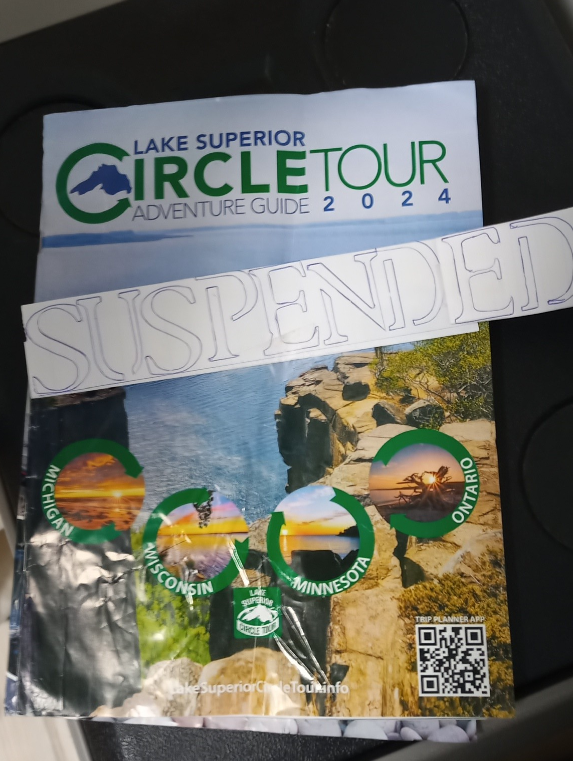
We will get to spend some more time on the Canadian side of Lake Superior, before completing our circle tour next summer.

Lake Superior Adventure -south shore

So, we are going to the lake that the Ojibwe call Gitche Gumee, which means big sea or huge water. Here’s a few facts:

  • Lake Superior contains 10% of the planet’s fresh surface water.
  • It is the largest freshwater lake in the world by surface area.
  • It covers 82,000 sq km (31,700 sq mi) with an average depth of 147 metres or 483 feet.
  • The deepest point in the lake is 405 metres or 1,333 feet.
  • There have been about 350 shipwrecks  recorded in Lake Superior and Lake Superior is known to never give up her dead.
  • Some of the world’s oldest rocks, formed 2.7 billion years ago can be found on the Ontario shore
  • The lake rarely freezes over completely. The average temp of the Lake is  2 C.

Why are we doing this trip?  It is on Andy’s bucket list, as he was born on the north shore of Lake SuperiorWe had a sampling of the Lake in 2019, when we went as far as Marathon on the Canadian shore. 

Andy called the Border patrol agent at 6:00a.m., and we made an appointment to meet them at George Kemp marina at 7:15.  So Andy started the engines at 6:50, and we left Canada and entered the state of Michigan in the  U.S.A.  The border patrol person looked at our passports, asked some questions about the boat.  He said I could keep my garden, but in future no plants can be brought into the U.S.A. I was happy about this as I have several cherry tomatoes that are getting quite big. After the patrol agent left, Andy called the lockmaster to request locking.  He replied that the McArthur  lock was ready, so we hustled over there, and immediately  got the green light,  entered the lock and two lines were thrown down to us.  We were joined by a work boat.

  We were out of the lock by 8:00, and then followed the channel markers to leave the Soo.  The winds were light, as were the waves, as we were sheltered in the channel.  Once we got into Whitefish bay, the waves increased, as did the wind.  Around noon we made it to Whitefish Point harbour, The area can only be described as rustic—wooden docks with cleats and posts, and not in great repair.  Many of the eight slips were occupied by fishing boats—we tied up in slip 5.  We are now in the U.P. Upper Peninsula of Michigan. 

In the afternoon, we walked about a mile to the Great Lakes Shipwreck Museum.  We walked around the grounds, and checked out the lighthouse keeper’s house.  The lighthouse at this location has been operating since 1861, one of the oldest lighthouses on Lake Superior. We also watched a video on the Edmond Fitzgerald sinking, which we both found to be very interesting. The Edmond Fitzgerald wreck was found  about 17 miles from Whitefish point. More than 300 ships have sunk in Lake Superior, more than 100 near  Whitefish Bay, or along  the shipwreck coast, which runs from whitefish point to grand Marais.  In  the museum Shipwreck gallery, there was the stories for more than a dozen ships and their fate.  The original Edmund Fitzgerald bell is also on display here. We were told that more than 100,00 people visit this site each year.

We left Whitefish point at 7:45, waves didn’t seem to be too bad, until we turned past the point, and started following the shipwreck coast.  Waves were about 2 foot plus, but it was the swells that kept hitting us, that were torture.  The depth running a few miles out from shore, varied from 60 feet to 300 feet, and with the wind blowing, we were both freezing.   

After a few hours of the swells hitting the boat,  the Admiral and her morning coffee parted ways.  We arrived in Grand Marais, 6 hours after departing, and had gone 52 miles.  We tied up at the Burt Township Marina, and relaxed.  For supper we walked into Grand Marais and stopped at the Lake Superior Brewing company,  I had a Blueberry wheat beer and Andy tried the Granite Brown.  Very good as was the  food. We met the crew on the R/V David Boyd, shipwreck museum  research boat back at the marina, as they had come in from Copper Harbour, where they had been doing some diving at a wreck site.  Interesting Marina, they also have a fish cleaning station here, and boat launch, which starts getting busy before 6am.

On Friday morning, we got up and learned that a small craft warning was being issued for our area, and that rain would start in the early afternoon.  We decided to leave immediately, staying close to shore, where the waves would be in the 2 foot range.  We passed by the Grand Sable dunes, that ran for miles outside of Grand Marais, we then went by the au sable light station, which was built in 1874 and is 86 feet tall.  After a couple  hours we could see the beginning of the Pictured rocks. These rocks are brilliantly colored sandstone, cliffs, sea caves as well as beaches. 

We  travelled along the east side of Grand Island, and were sheltered a little from the winds.  We arrived at Bayshore Marina in Munising at 11:15, and happily tied up.  At the marina there are a number of tour boats, some taking people to the pictured rocks, or glass bottom boats that take you on a shipwreck tour.  Busy place.   By 2:00, the rain had started, the wind picked up and thick fog rolled in so that Grand Island was no longer visible.  In the evening, we added an additional line to the boat, as the wind was continuing to increase.

In the morning, it was very calm, and we contemplated leaving, however we had read that Munising harbour is very sheltered because of the size of Grand Island, and it can give a false sense of what the conditions are on the lake.  We decided to stay put for the day, and walked up to the dollar store, which was nearby looking for some provisions. Andy worked on some of his wood projects, and I did some cleaning.

During the morning a small craft warning was issued that expires Sunday morning at 10AM. Northwest winds 15 to 25 kt with gusts to 30 Kt (>55Km/hr) and waves of 5 to 8 feet are  expected, as well a Beach warning was issued – dangerous swimming conditions are expected due to high wave action and strong rip currents.  We may have missed this weather- if we had left at 6AM  but I’m glad we didn’t find out.  The sun shone for most of the morning, and winds in the harbour were light. We had a squall go through at 2 pm, and followed by some fog.  The winds started to pick up around 5PM and blew all night.  We put all our fenders on the starboard side of the boat, to keep us from banging into the dock.  With the wind howling, and the continuous banging, neither of us slept much.

There was a Marathon going on in Munising on Sunday morning, and the start and finish line was at the marina, so we saw lots of people participating.  Around 2 pm, when the waves had died down, we left the dock and went about 5 miles to Murray Bay near Grand Island and anchored.  It was relatively calm, except for when the tour boats came by  to look at a shipwreck which was near Muskrat point.  The sun was shining and we had very little wind.  I decided because of all the beating that our fenders had taken over night, that I should likely pump them up and changed their covers.

In the morning, we woke up to single digit temperature—very cool on the boat, as our hull is in water that is likely in the single digits as well. We had a peaceful night.  The lake was calm, and we departed for Marquette at 8 am.  I crocheted a couple of poppies enroute.  We arrived at Cinder Pond marina at 12:30 and tied up, having gone 39 miles.  I did some laundry and then we walked to the Marquette Coop to buy a few things, enroute, we met a couple, who actually gave us a ride to the store, so we only had to walk the mile back.   Andy called the next marina to book a slip for tomorrow, and to find out the depth, as we had read that it was prone to silting in.  The person he talked to couldn’t answer either of those questions, we will likely take our chances and go there early in the morning, as the winds are supposed to pick up near noon. We want to keep moving as getting a slip during the July 4th holiday weekend, will be next to impossible. Lake Superior’s weather/waves have not been to our liking– hope we get more weather like we had today! Happy Canada Day Everyone!

Hustling  across Georgian Bay and the North Channel to get to Superior

We had quite a rain storm and wind event on Thursday night which was followed by the double rainbow.

  We left Friday morning on the first lift down, and were out of Swift Rapids by 9:10.  We proceeded to the Big Chute where we found Heart Tug and New Song on the wooden docks.

We visited for a bit and then we proceeded to lock down on the railway carriage.  We arrived in Port Severn around noon, and tied up at the wooden docks.  Around 3:00 we walked over to the general store and ice breaker for ice cream.  We brought back ice cream for the 3 lock staff. Heart Tug and New Song tied up on the wooden dock when they arrived. 

On Saturday Rick and Linda came for a visit and we went to lunch at the Grill.  David had arrived to do more upgrades on the boat, and had brought his Mom, Grace, so she came for lunch with us as well.  David worked most of the afternoon, re-wiring in the engine room. He took a break for supper, and continued on until well past 10:30.  There was one issue he couldn’t resolve with the new conversion box, so he reverted everything back to how it had been set up.

On Sunday,  there was a good wind, so we decided to stay at Port Severn one more day.  We did however lock through after 5, so we were at the bottom, in order to get an early start.

We left on Monday morning at 6:45 and headed to Victoria Harbour. We tied up at 7:45, and I proceeded to walk up to Foodland for some groceries, while Andy waited for a pump out and fuel.  By 9:15 we were on our way north west, we finally stopped at 2:45, and anchored near the Jones Island lighthouse, which is South of Parry Sound.  There was one other sailboat there. **

It was a hot day and I cooled off in the water a couple of times.  While sitting on the back deck we were swarmed by deer and black flies.

We left at 6:25 and travelled for about an hour, before we were hit by an incoming squall.  We pulled off the channel and anchored for about an hour while it passed.  We continue on and passed through the Hang dog reef around 10:30.  It was a little choppy, with a 10 plus knot wind.

We continued on and exiting Alexander Passage we had a good hour of rollers.  We made it to the Byng Inlet lighthouse by noon, and continued westward.  To get out some shelter from the wind and waves, we moved inland, and finally anchored  at 2:30 near Obstacle island in the French Rivers area.    Just before reaching our destination, we had to go through the Parting channel, which is the narrowest channel with the green and red markers almost on top of each other- so very challenging to get through.  A 72 mile day.

On Wednesday, we got up and started making our way back to the small craft channel.  The waves were predicted to be about 0.5 meters, the first 45 minutes, while we were in sheltered waters was OK, but after passing the Bustards, we were in open water on Lake Huron for the next 17 miles. The waves were approaching a meter to a meter and a half- very rough, and the waves were hitting us broadside at times. 

We had a few casualties- lost a 23L water jug, that fell on its side and went under the canvas, as well as a boat hook which was unsecured, and one of our fender holders,  shook free and also went overboard.  Luckily we  didn’t loose the fenders that were in it, as they had been secured to the railing. A very scary couple of hours for the admiral.  The captain did an amazing job of getting us through.  We were both thankful to reach the sheltered waters of Beaverstone Bay and Collins Inlet.  We continued on, and went through Killarney just after noon. 

We anchored in Covered Portage, with several other boats.  There were gusty winds in the afternoon, and our anchor dragged, so we repositioned it a couple of times, by night fall the winds had subsided.  In the late afternoon, Kate and Tom from Molly Brown, kayaked by and we had a good catchup with them.  We had first met them in Orillia a few weeks ago.

On Thursday morning we left the anchorage by 8:30, travelling  the 23 miles to Little Current.  We wanted to make the 11:00 opening of the bridge, we were there with 20 minutes to spare. 

Once through the bridge we called the Port of Little current for our docking assignment.  They originally had us on the town dock behind the Post office, but the new GFI power pedestal did not like our boat, and kept blowing the fuse.  The dock people reassigned us to the floating docks which still had the older type pedestals, and we had no problem.  Once we were tied up here, I set off to the laundry mat.  Between washing and drying, I checked out a couple stores on the main street.   On my return to the boat, I met Bill and Julie from Jubilee- loopers who also plan to circle Lake superior- we exchanged boat cards.  Once back at the boat, I found that Molly Brown had tied up in the next slip to us. Later in the afternoon we walked up to the grocery store, and bought a few supplies.  Leaving the store, a women offered us a ride back to our boat—which was very kind of her. We went to the Anchor Inn for supper, and had Pizza and wings. On our return Kate and Tom dropped by and we provided highlights for the North channel.  Molly Brown is on a tight schedule and needs to be back in Florida by early September, so their time is very limited.

In the morning, we set off shortly after 9 am.  We had planned to go as far as Spanish, to check out the marina, but Andy had noticed that the channel was very narrow and shallow- so we may just stop there sometime, while we are in the car.  We continued through the McBean and Whalesback channels and anchored in Long Point Cove, which had been recommended to us by Randy and Audrey.  We went about 45 miles and there were 5 boats in this anchorage by nightfall.

On Saturday morning we left Long Point cover, passing by Blind River, Thessalon, Bruce Mines and finally ending up in Hilton Beach on St. Joseph’s Island.  We had originally intended on only going as far as the Grant Islands, located between Blind River and Thessalon, but the rain started before noon, and the winds increased as the day progressed.  We arrived in Hilton Beach after 1:30, totally drenched, having gone 61 miles.  After tying up, we had lunch, and then went for hot showers at the marina.  Around 5:00, our friends Pat and Marcia Gillespie, stopped by for a visit, they live in the Sault, but have a camp near Bruce Mines.

We went for dinner at the Tilt’n Hilton, which is just across the street from the marina.  It continued to rain and blow throughout the night and into the early morning.

Around 8:30, we decided we were likely not moving for the day, so I went up to the boater’s lounge and did a couple loads of laundry.  We were both very impressed with how clean this marina is kept– immaculate! We spent the afternoon, looking over the plans for our trip around Lake Superior.  Andy called the marina in the Sault, to book us in for a couple of nights, as Tuesday’s weather does not look good for travelling. He learned that the Canadian lock, which is usually used for pleasure boats, is under construction, so we will be using the larger American lock to get into Lake Superior.  In the afternoon, it cleared up a little and several of the sail boats from the marina went out into the bay. Most of the boats in this marina are sailboats, the exception are  6 power boats, a couple of pontoon boats and a seadoo. 

We caught up on episodes of Coronation Street. In the evening,  I figured out how to access the marine traffic website- as I wanted to know how many freighters, are usually in the commercial channel.  When I looked, I took this  picture —we show up because we have an AIS system that sends and receives.

On Monday morning we untied and went to the gas dock for some fuel, as we weren’t sure if we had enough to make it to the Sault. We passed by the Samuel Risley, which was anchored and is a CCG ice breaker—I guess you can never be sure when it might be needed in these waters.  At one of the lighthouses, we saw workers doing some repairs.

  We started down the St. Joseph’s channel and eventually entered the commercial shipping channel.  There was a freighter behind us, called the Evans Spirit,  at a wider part of Nicolet lake, Andy pulled over and he passed us.  About 45 minutes later we met the CSL Assiniboine,  both boats, did not give off much of a wake- I was pleasantly surprised. 

We arrived in Sault Ste Marie at 12:30 and took on more fuel and had our waste tank pumped out.  Once we were tied up to the dock, we filled up our water tank, and had lunch. We went for dinner with Marcia at Lychee Thai, and then she took  us grocery shopping.

On Tuesday morning, we were awoken to a thunderstorm before 6 a.m.  The day was cloudy and overcast.  We walked over to the Station Mall, in search of advice on cell phone plans for the USA.  We checked with one provider, and they could give us a deal, but they wanted to upgrade our phones.  We ended up going to the Bell Mobility store- we explained we would be in the USA for about a month and didn’t want the Roam better plan which was $13/day for each day we either used the phone or text.  The Customer rep was very knowledgeable and offered Andy a plan for the USA and Mexico for an additional $16 per month immediately.  He also found that for only $1 more than the $35  that I was paying for no data, that I could get 60 GB.  So I signed up for that as well.   Andy with his new phone plan called over to George Kemp marina in Sault Michigan, and asked about stopping there in the morning, in order to go through customs before locking.  We were advised to come over around 10:00.

 So now we are set for the start of our big adventure of circumnavigating Lake Superior- it starts tomorrow, on the American side, weather permitting. Our plan is to be in Thunder Bay by July 24th, as we have rented a car to go back to Winnipeg for about a week for some medical appointments.