May 3,4,5
On Tuesday we left at about 6:20, it was raining intermittently most of the morning. Since it was a work day, both the upper and Whitehaven ferry were operating.

It took us nearly 3 hours to come down the Wicomico River to the Great Shoal light. We went through Hopper Strait and past the Bloodsworth (a navy bombing range) and Hooper islands. We encountered some flags appearing in the water along with crab pots

and were confused for a time, wondering if they were flags marking fish nets like we’re use to in Manitoba. We finally stopped a boat with “watermen”( this is what fishermen/ crabbers are called around here) they told me the flags are used to mark a string of crab pots. Thank goodness for that because we had been trying to avoid passing between 2 flags, and were almost immobilized as the flags seemed to be everywhere. We appreciated that the crab pots were quite visible with the flags-of all the places we had been and seen crab pots this was the first time they were marked this way.
Our route then took us closer to the main shipping channel and we encountered these two boats—we probably looked like ants to them.


Here are the 2 boats passing to put their sizes into perspective.
We continued northward passing by several more islands on the Eastern shore. It was still quite overcast, we turned into the Little Choptank River at 14:32, and followed the channel down to the entrance to Hudson Creek. We went up the creek about 2 miles until we reached a large open bay. We anchored at 15:50. This stately home was our neighbor for the night.
 Around 7 we had a shower and several more through the night. In the morning we decided to stay put in this anchorage for another day. As the morning progressed we had a couple more light misty showers, and the bay seemed to fog over. We were quite content to spend the day reading.
On Thursday, after having breakfast we started the engines at 8:40 and headed out from the anchorage. We had watched a couple of watermen the previous day go back and forth along the creek, they seemed to be using nets / cages attached to their boats to catch fish.

We exited the Little Choptank River by 9:48, it was another cold and dreary day. We headed north through the shipping channel up to marker CR, which makes a whistling noise,
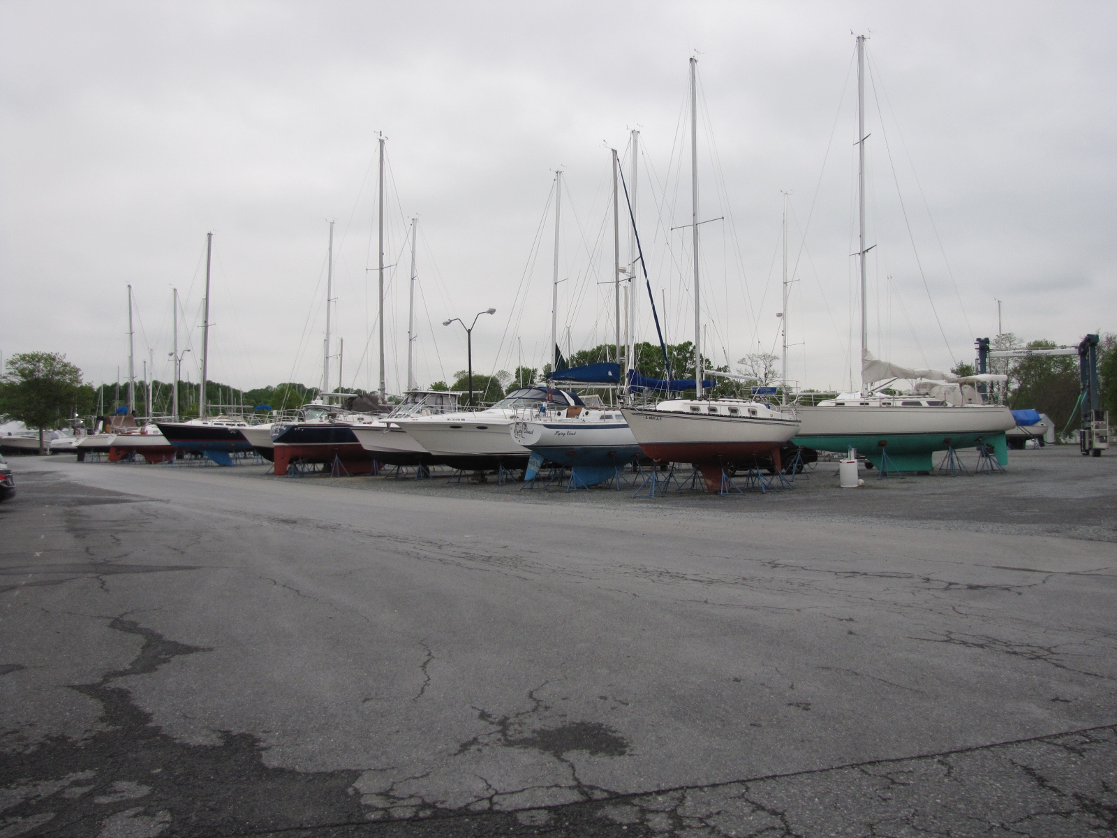
 and on to Marker 82 which we reached at 11:22. We then proceeded westward to the Maryland shore and into Herring Bay. Following the marked channel we reached Herrington Harbour North marina in Deale at 12:45. This marina has 600 slips, with a complete repair and service yard as well as a West Marine and restaurant on-site.


It also has wetlands for birds and other animals and dry storage.
The plan is to be here for several days to explore western Maryland and go into Washington DC.
