As we leave Lake Superior, here are ten facts that I found:
- It is the largest freshwater lake in the world, and holds 10% of the earth’s surface freshwater.
- It was formed when glacial melt water filled a billion year old volcanic basin 10,000 years ago
- A drop of water takes 2 centuries to circulate before exiting the natural outflow- the St. Mary’s River.
- Lake Superior contains 3 quadrillion gallons of freshwater- enough to cover both the north and south American continent in one foot of water.
- the Great Lakes Shipwreck Museum approximates 6,000 ships and 30,000 lives lost on Lake Superior
- It’s average depth is 147 meters (483 feet) with a maximum depth of of 406 meters (1,333 feet).
- The average elevation of Lake Superior is about 183 meters (600 feet) above sea level.
- The average underwater visibility of Lake Superior is 2 meters (27 feet), making it easily the cleanest and clearest of the Great Lakes. Underwater visibility in places reaches 30 meters 100 feet.
- The average annual water temperature of Lake Superior is 4.4ºC (40ºF). It only very rarely freezes over completely, and then usually just for hours. The last complete freezing of Lake Superior occurred in 1979, although the lake was almost completely frozen over in 2014
- Climate change is affecting Lake Superior, the coldest of the great lakes. Since 1980 it has warmed 1 degree each decade. (This might be the case but I didn’t notice– it was damn cold sleeping on our boat during this trip, as our master berth is located below the water line- so we were sleeping on a bed in <5C water)
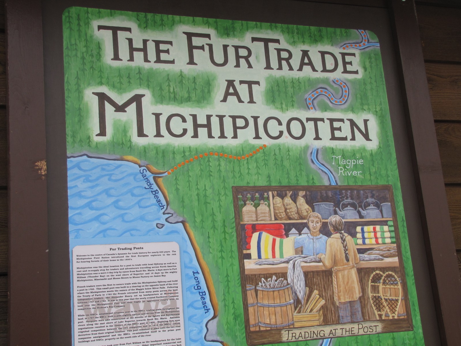
July 1st turned in to a dismal day, overcast and intermittent fog. We went with the marina owner, Brad Buck to Kinniwabi Pines restaurant for lunch. Food was great. In the afternoon, we did some reading and a little cleaning. I learned that Michipicoten was known for it’s fur trade back in the 1600’s.

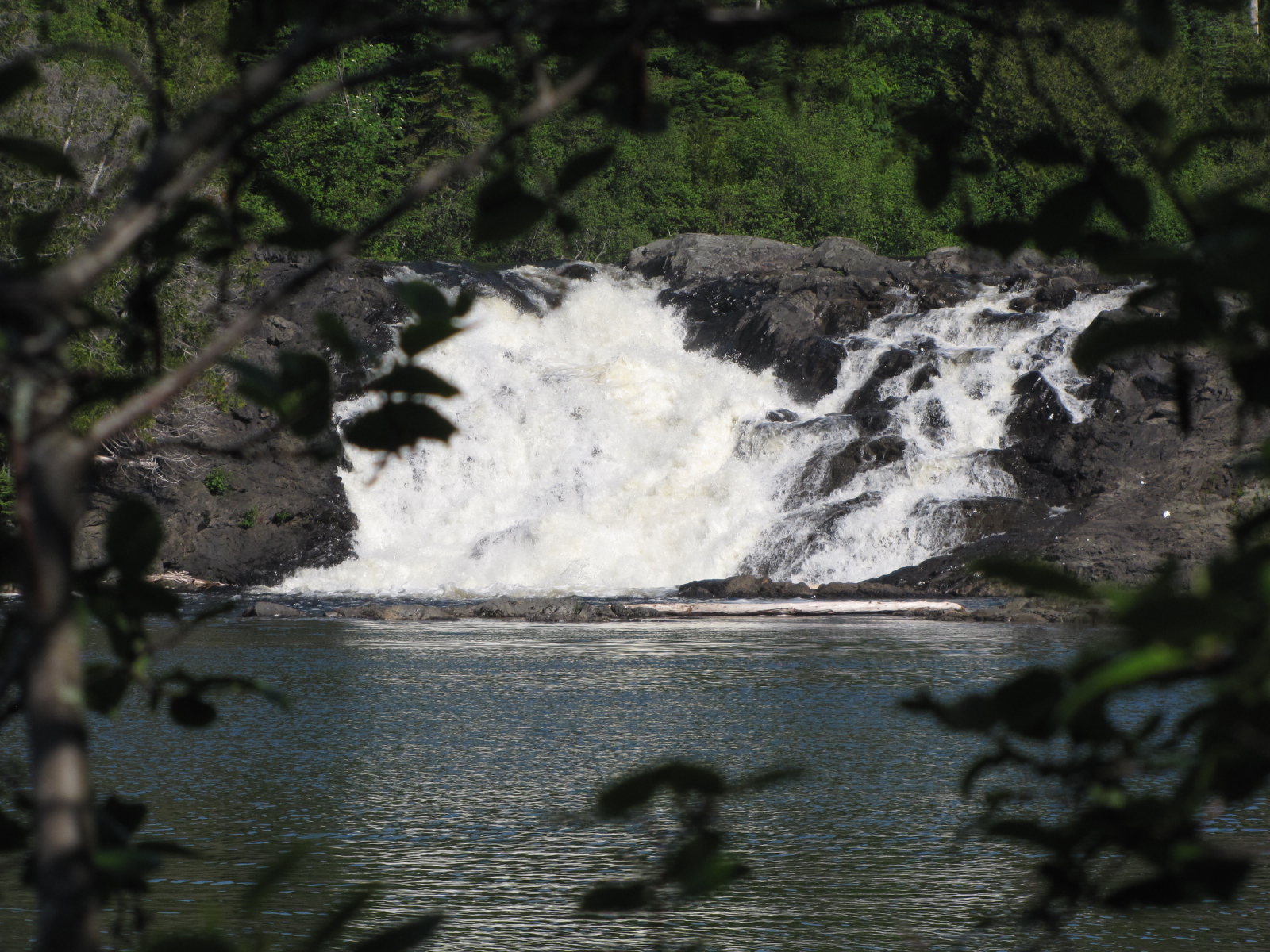
The fireworks scheduled for the evening in Wawa was cancelled as the town was fogged in. On Tuesday Andy went up to the marina office to find out when we might be getting our diesel delivery- unfortunately the fuel truck was out of town, so Brad called up a friend that had a 45 gallon tank to fill it up at the local gas station. This took a couple of hours to arrange, so I went for a walk to silver falls and took some pictures.
On crossing this bridge towards the fall, I saw this memorial for a fallen soldier. 
On returning to the marina, we moved the boat to the gas dock and transferred the diesel to it. There was a bit of a fog bank, but since we had our track coming up the Michipicoten river, we just followed it back out to the lake.
 We had fog for about the next 2 hours, but ran with our radar on- didn’t encounter anyone- but did see this boat in the distance going into another bay.
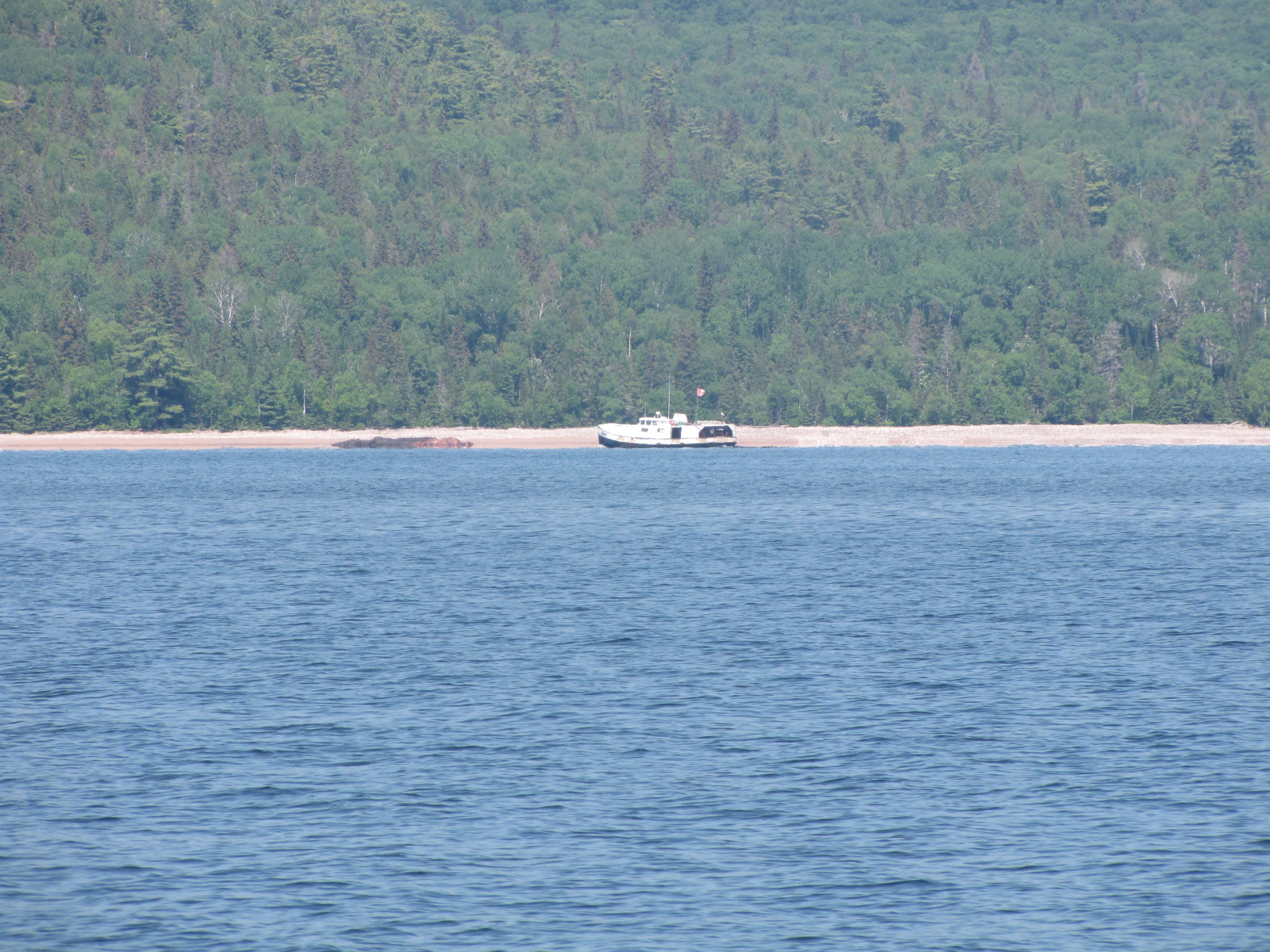
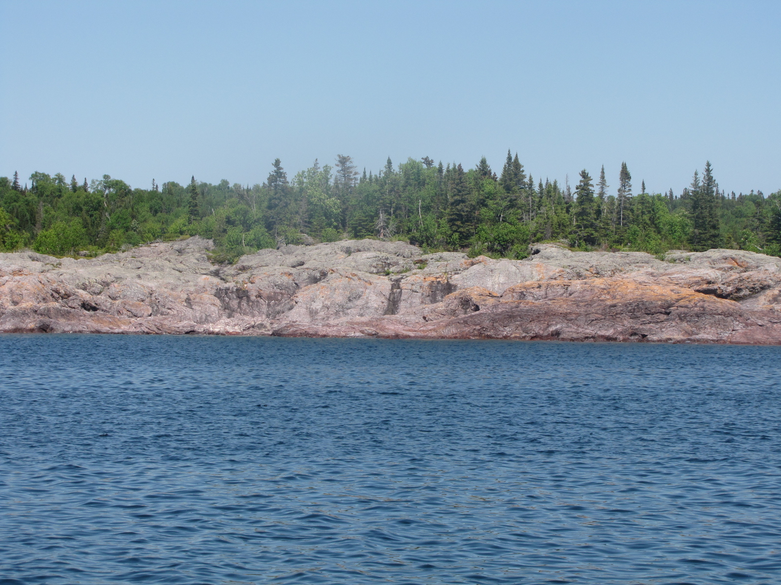
It amazes me that trees can grow on rock islands, even if there is no soil.
We did notice so far this summer that there is lots of yellow spruce pollen on surface of the water that we have travelled in. We went about 50 miles and made it to Sinclair Cove and were anchored by 5:30. We both tried fishing- but still no luck.


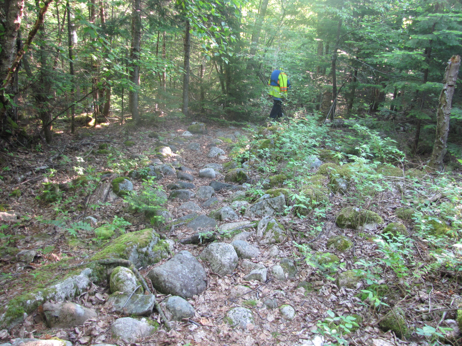
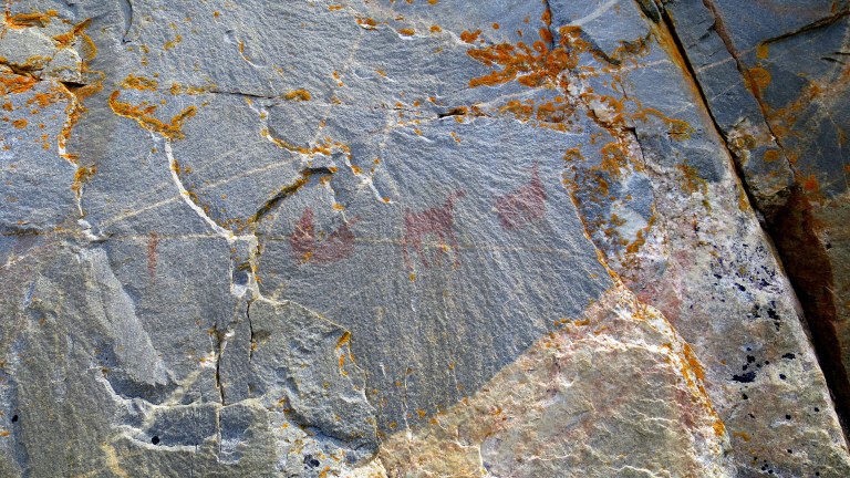
On Wednesday morning we got up and paddled the dinghy to shore just after 7:30- we were going in search of the ojibwe pictographs. Our guide book had said they were about ¼ mile down one of the hiking trails—I would hardly call it a hiking trail, it was more like a river bed, full of rocks, bog and thousands of mosquitoes in the bush. 
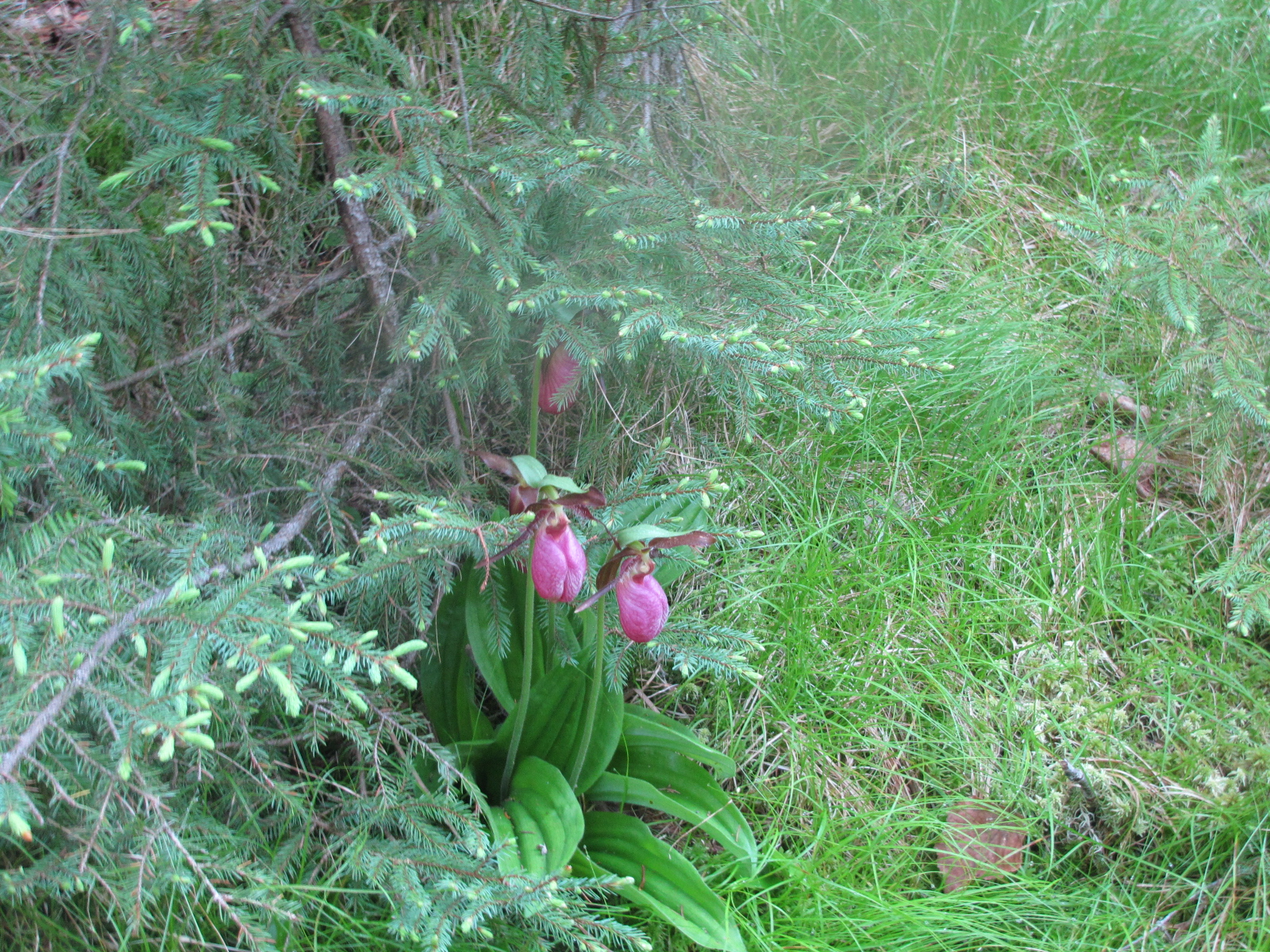
We walked for about 20 minutes, and still were in the bush- no pictographs to be found, but I did find clumps of lady slippers.
I’ve lifted this pictograph picture and description from a blog- another walk in the park – in order to see what we missed. The Agawa Rocks Pictographs were created by the Ojibwe people over the course of two thousand years though the ones that remain visible are believed to date from four hundred years ago.
We reversed out steps, and took another trail which was suppose to take us up to a lookout point over the bay. At one point we had to climb up the rocks—please remember neither Andy or I are rock climbers- so this was a challenge, once I got up the rocks, I was already agonizing on how I would be getting down without hurting myself.. 
Up on the cliff there were massive amounts of wild blueberries,

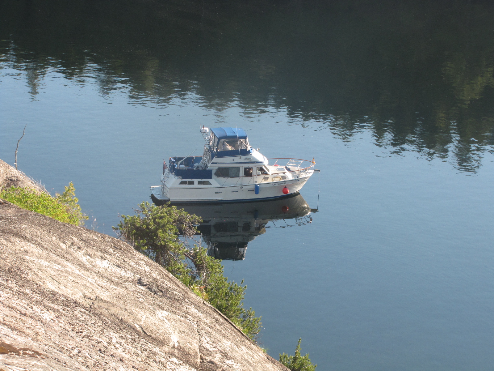
unfortunately the berries were still small and green. I got a number of shots of the boat and bay from this vantage point.

The climb down wasn’t as bad as I anticipated, I let the former Queen Scout, lead the way and show me where to place my feet and what to grab onto.

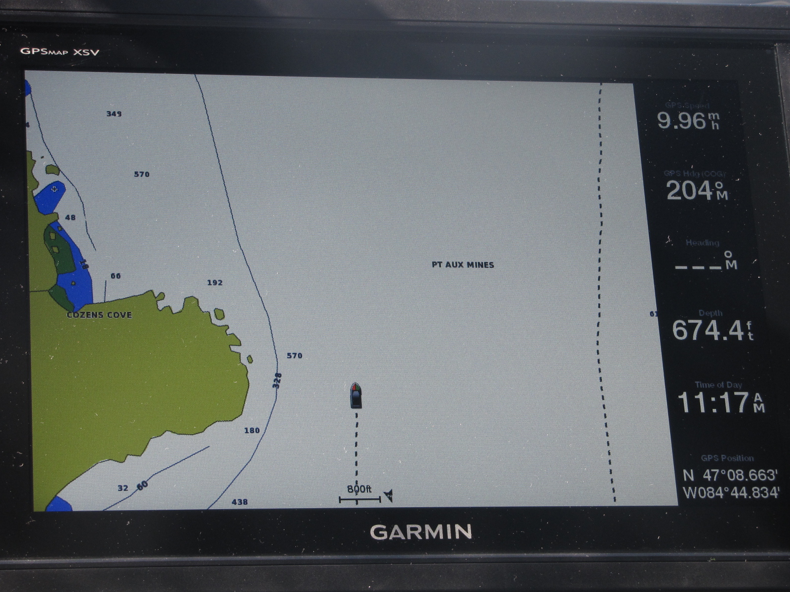
 We paddled back to the boat, and left Sinclair cove shortly after 9:30, headed for Whitefish Bay. Enroute to our next anchorage we encountered depths of 675 feet- amazing!
 The wind was light and the water was calm.
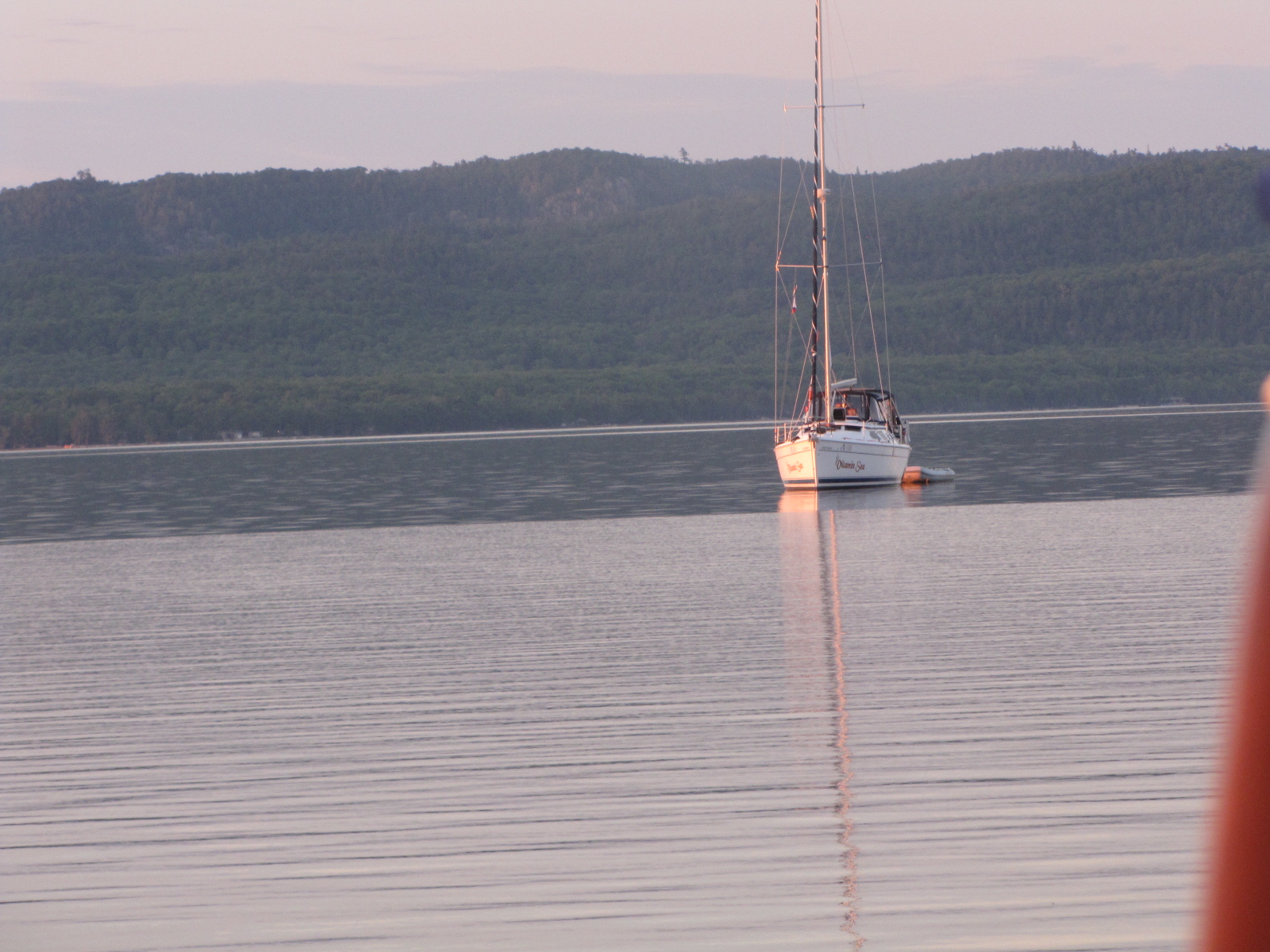
We went about 50 miles and anchored behind Batchawana Island in about 10 feet of water. A South east wind was predicted overnight, and we should be well protected here. Later in the evening we were joined by another trawler and a sailboat, finally some other pleasure craft.

At 4 am we were awakened by waves hitting our boat from the north, and we had swung around so that we were now sitting in 3 feet of water according to our electronics—a little unnerving! As soon as it was daylight, Andy took one of our boat hooks to the back swim platform and estimated we were in almost 5 feet of water on this sandy beach.
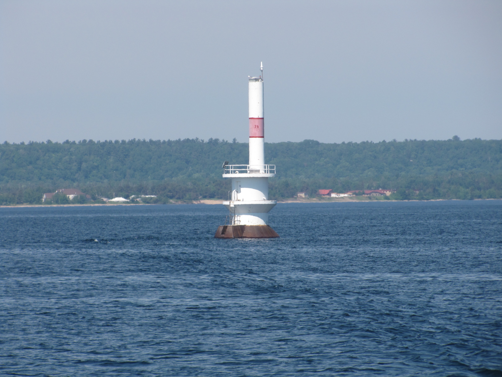
We decided to have coffee, and then pull up anchor and get out of the shallow water. We left our anchorage at 6:30 headed for the Sault. We passed several light house on our way back into the St. Mary’s river. 
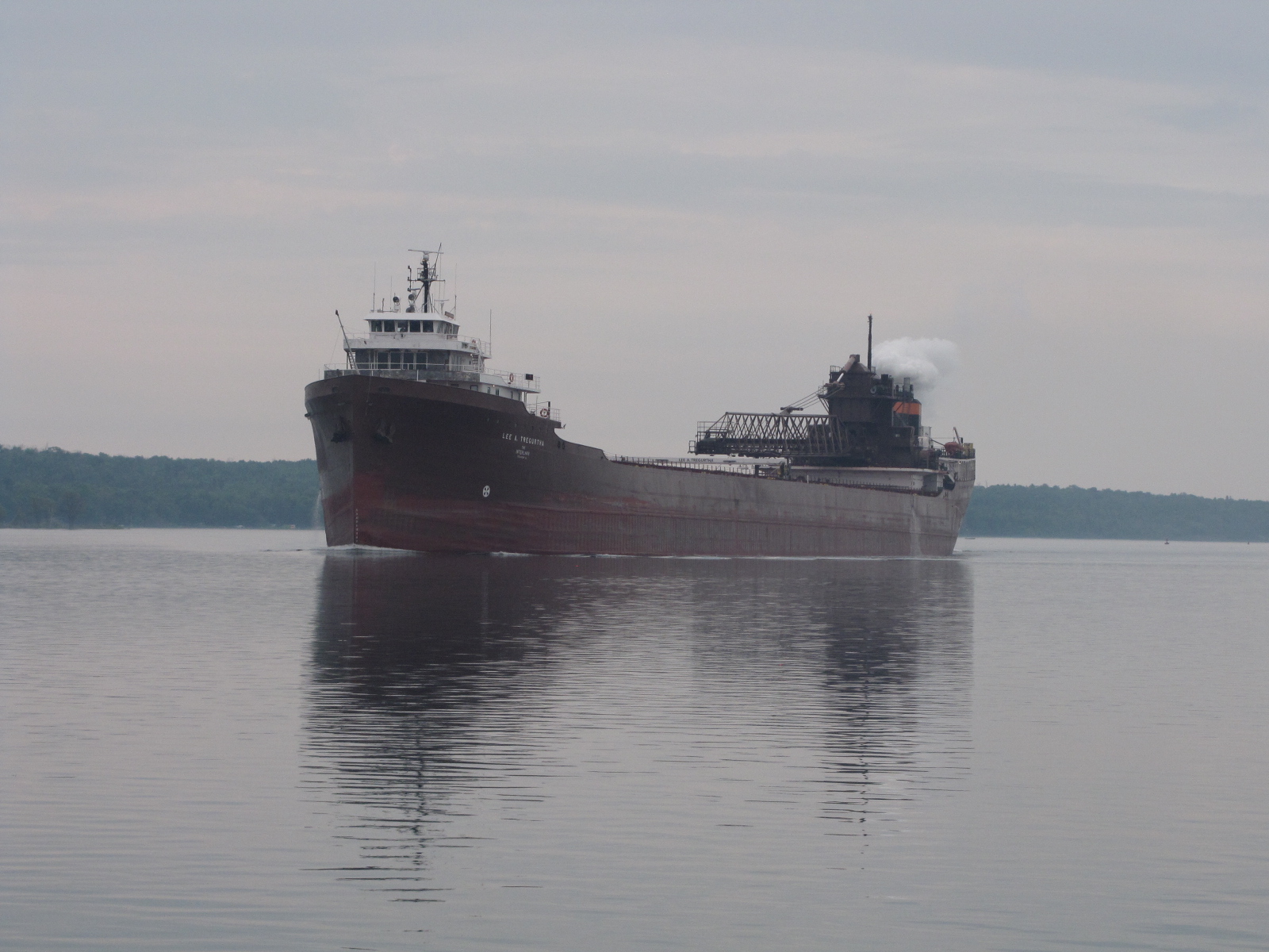
We also met a laker- the Michipicoten in the St. Mary’s channel.

 We crossed under the international bridge and called the Canadian Soo lock requesting a lock down.
We had to wait about 20 minutes for another pleasure craft to come out and then were locked through with a tour boat-

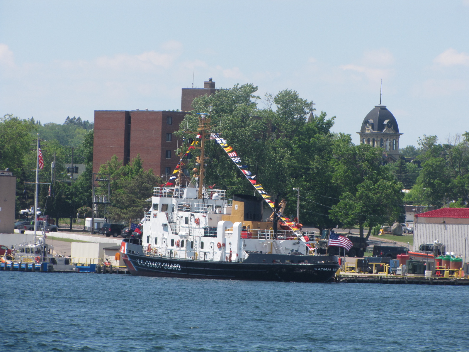
We were out of the lock by 12:50, and headed for Bellevue Marina, as Bondar marine still did not have their transient docks in. Saw this boat all decorated up on the Soo side of the river.
Upon arrival we filled up with diesel, water and pumped out.

Shortly after 4:00, Pat and Marcia came and took us shopping, to a laundromat and then we went out for supper to the Whiskey barrel. The guys had beer and I tried a Thornbury raspberry apple cider which was quite good, 3 of us ordered the fish and chips, whereas Andy ordered the haggis plate. When we got back to the boat, we had a couple more drinks, and shortly after 10 the fireworks started in Soo Michigan, as it was the 4th of July. The fireworks was set off over the St. Mary’s channel,

 and the international bridge lit up in red, white and blue.
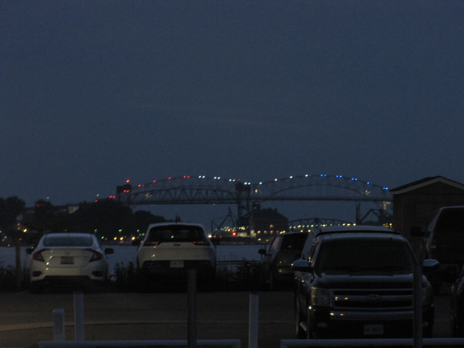
The fireworks went on for quite some time and lots of people came down to their boats in the marina to watch.
On Friday morning we got up and left the marina at 7:30 headed up the shipping channel towards St. Joseph. We saw this ferry going to Sugar Island.
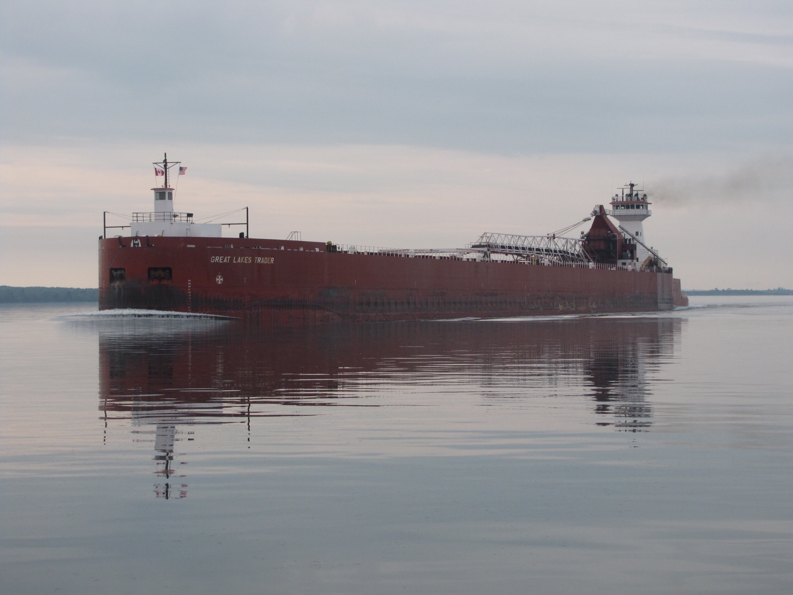
 We met two lakers coming up the channel,
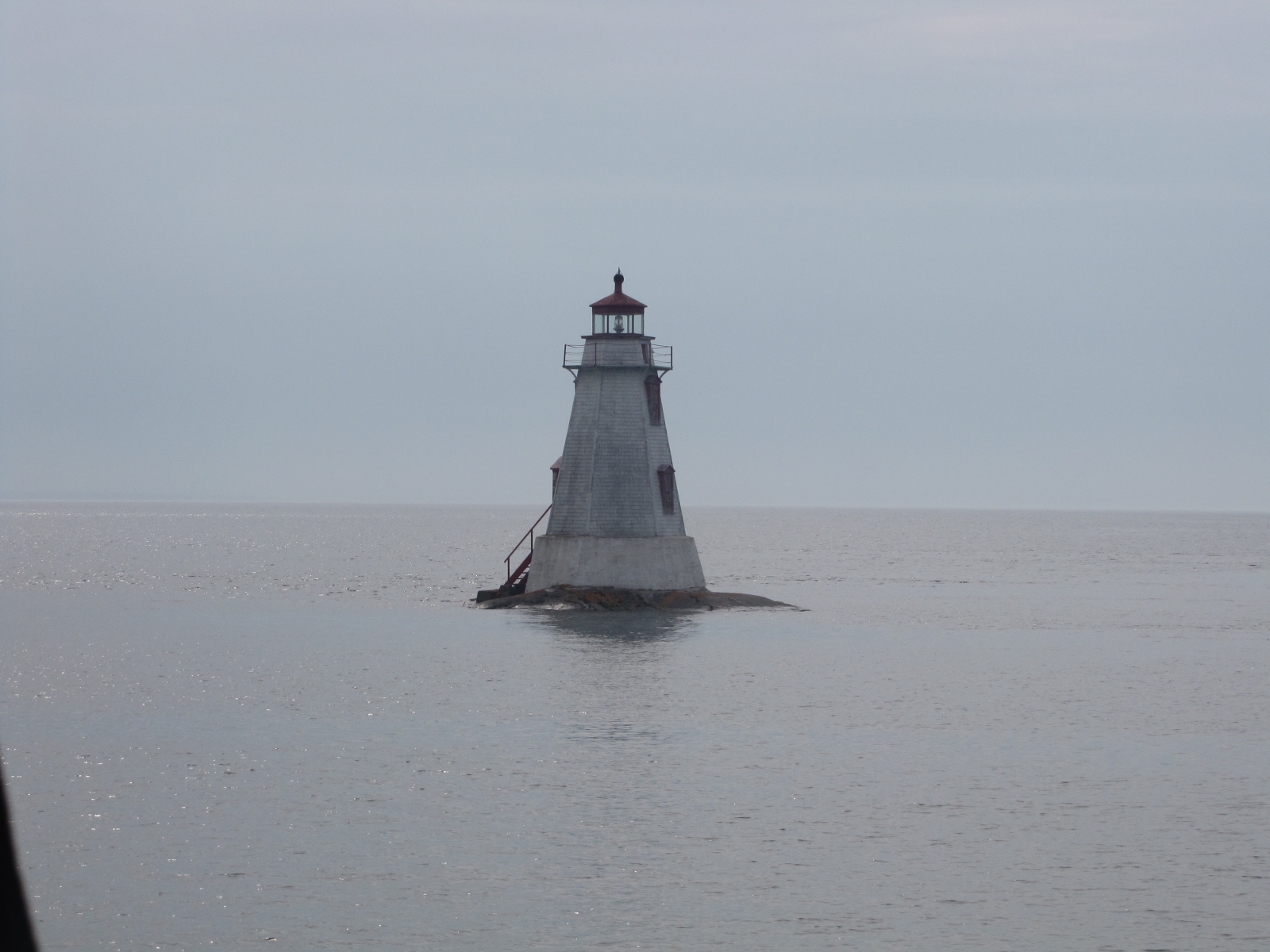
 and saw a couple of fishing boats. Of course I took pictures of lighthouses and lights.

 It was a relatively calm day, ( Just the way I like it!!)
 we reached Blind River marina at 3:15
 and were tied up by 3:30.
We went to the office to sign in and pay- they had some giftware for sale, including postcards. The marina washroom and shower facilities are new. There are 7 bathroom and shower stalls in each of the men and women’s bathroom, it also has 4 washer’s and dryers. There is also an art gallery and museum on-site. A very nice place and they only charged $1.9 per foot, but we got a 25% discount as they accept our docklinks card. We move on tomorrow either to an anchorage or LIttle Current depending on the wind and weather.
