Here’s the North Carolina coastline showing some of the places we will see this month.

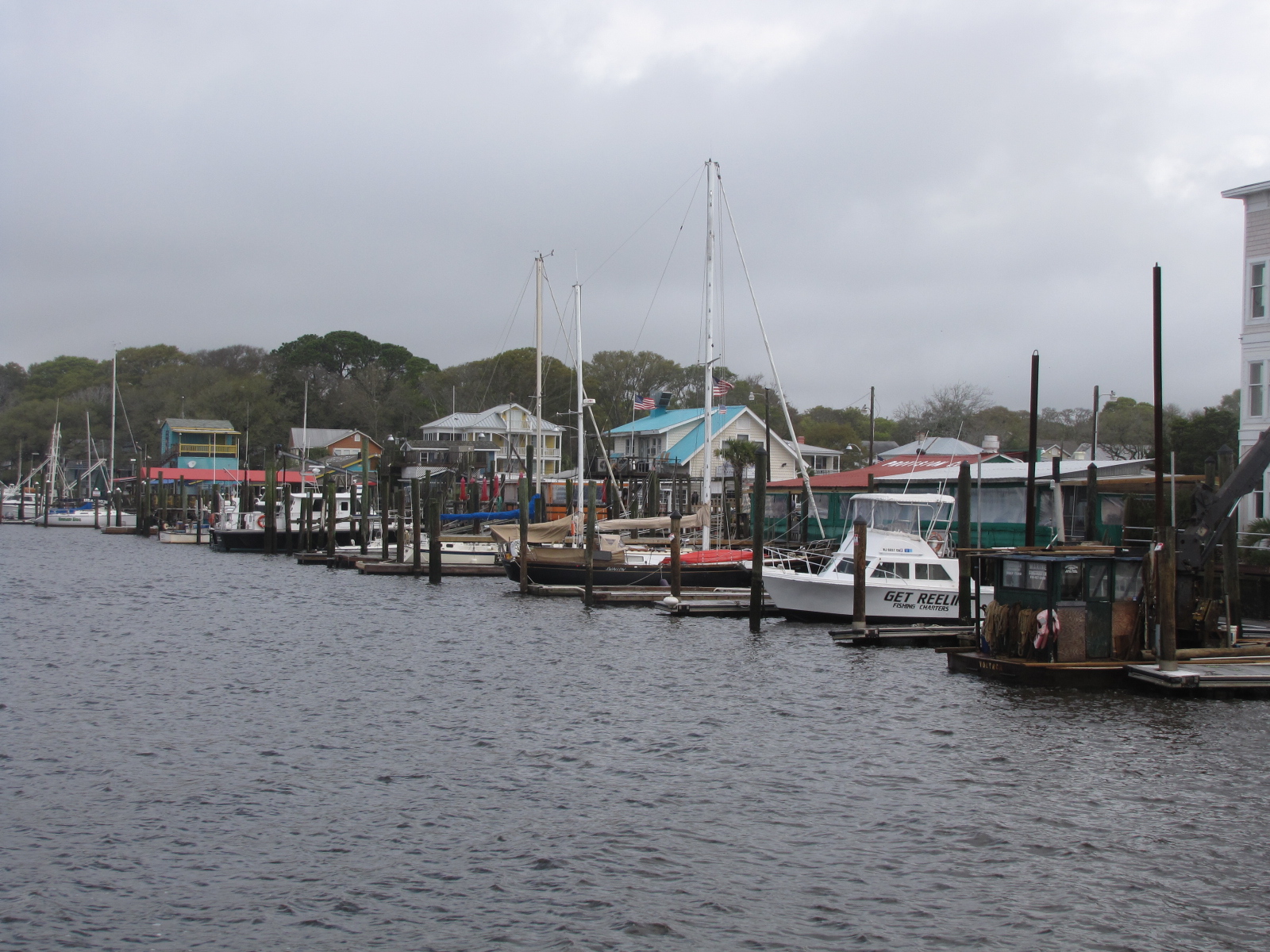
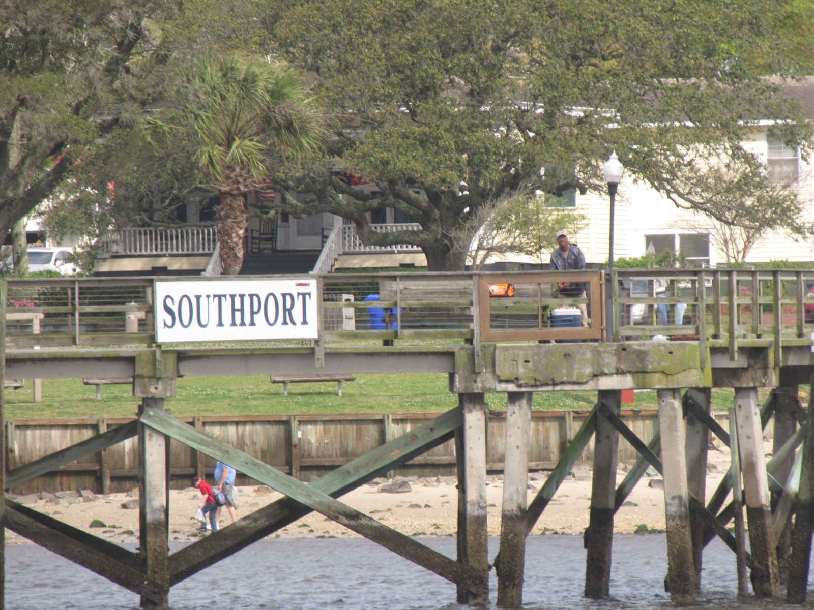
Remember the 17 boats in our anchorage—I think most of them are only being stored there, as only one other boat had a visible anchor light. It did rain several times through the night. We left the anchorage around 10: 00 and made our way into Southport which seems like a quaint place.
Here’s a picture of the Oak Island lighthouse which marks the Cape Fear inlet.

Once we turned into the Cape Fear River, Andy had the wind, tide and current to contend with, and there were some big waves. Nothing the Captain couldn’t handle.
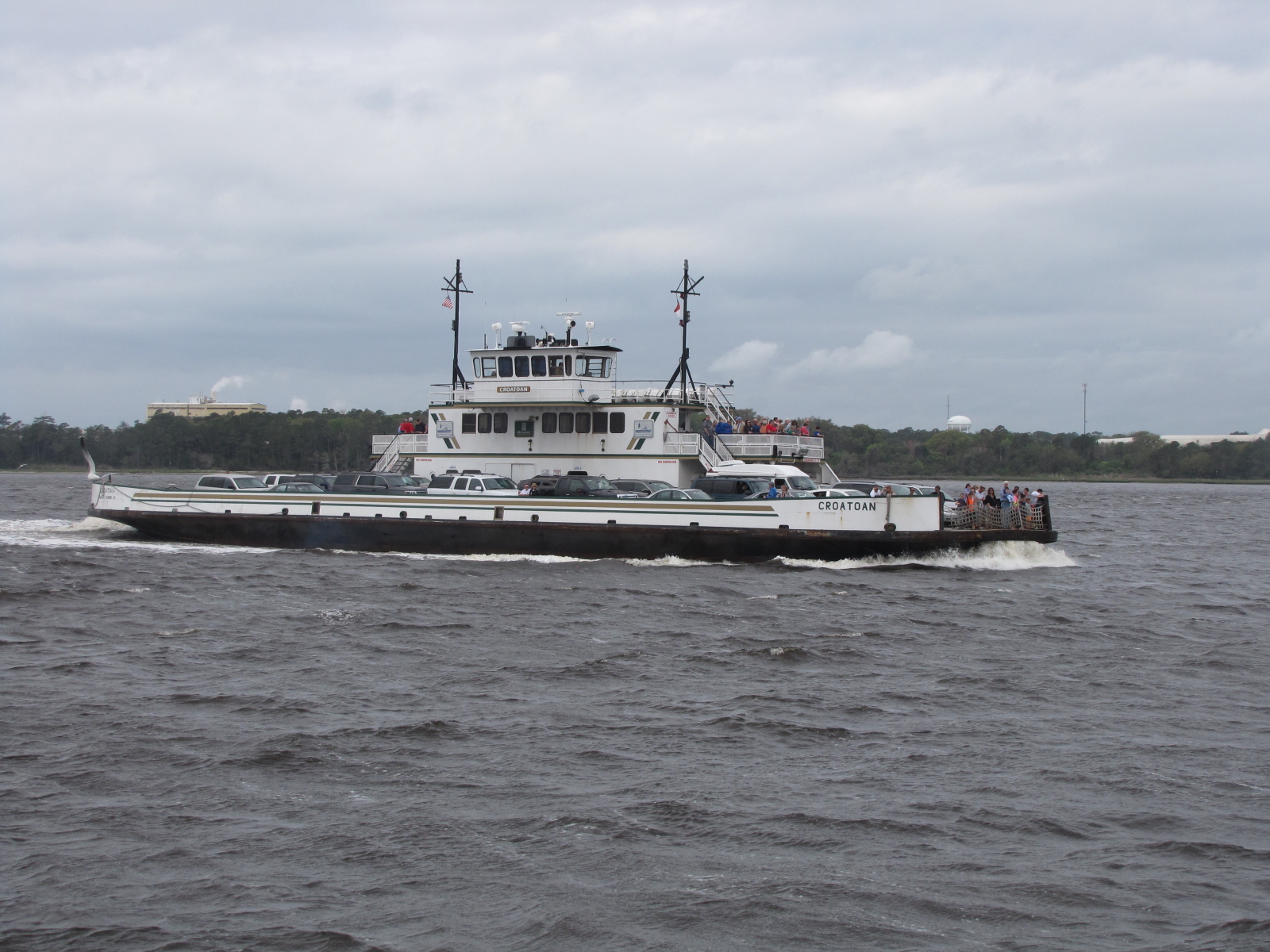
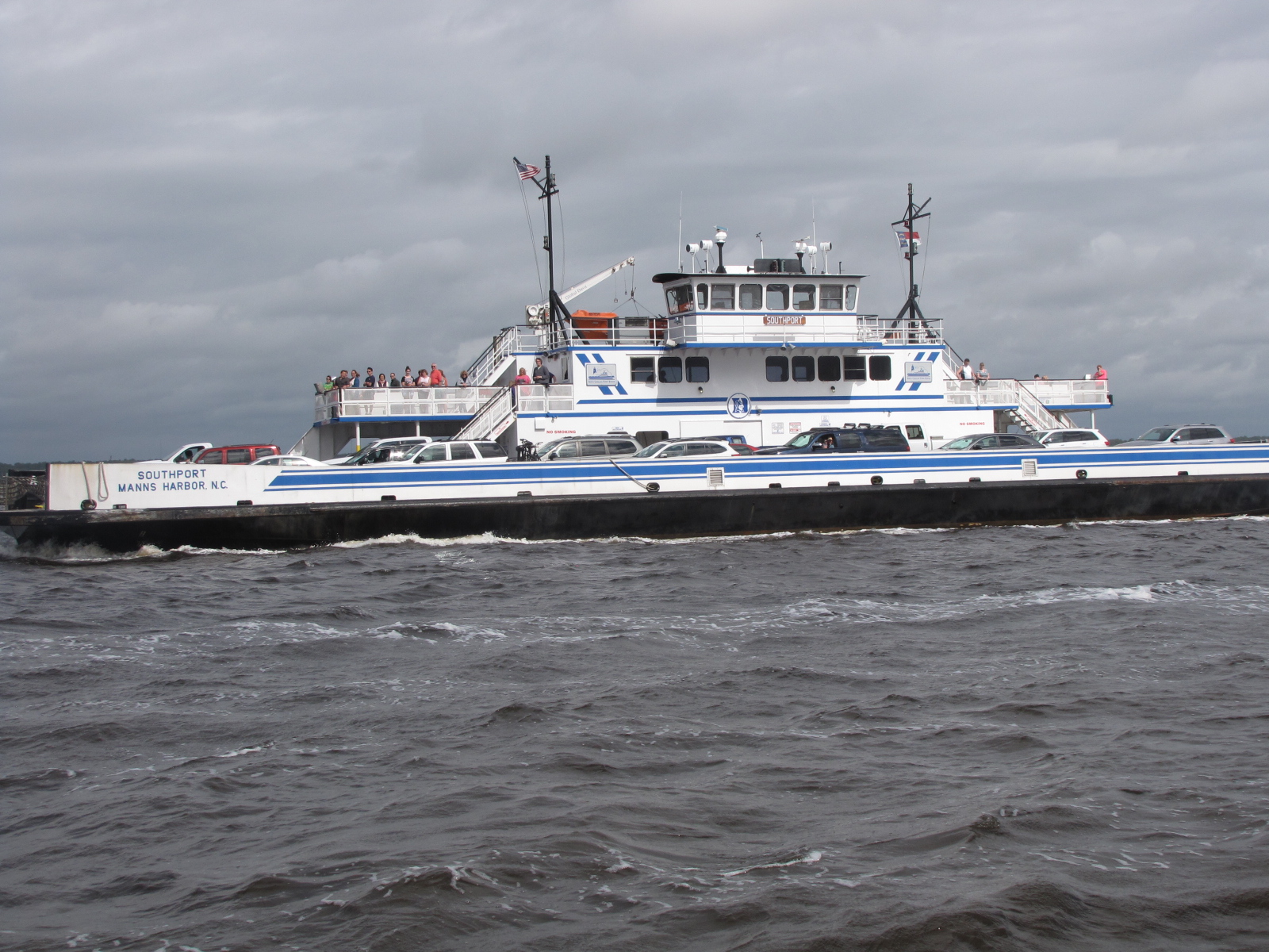
Going up the channel we had a ferry pass us, and we ended up meeting another one, within a few minutes . They take cars and people back and forth between Southport and Bald Head Island.

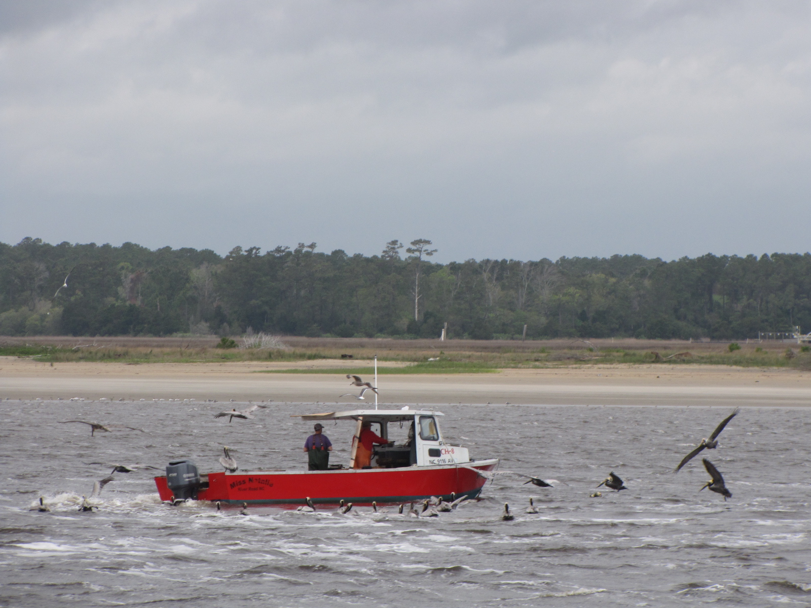
We later saw a crabber picking up traps and surrounded by birds.
We had to go through a narrow cut called Snows Cut from the Cape Fear River into the ICW along the coast—didn’t see any snow here! At the end of the cut is Carolina Beach which had several marinas. We continued up the ICW and went through Wrightsville Beach, just passed the Wrightsville Bridge I saw this shoal marker, that the birds seem to enjoy. The tree was fake.

I also saw this many-sided house, which was unique looking,

and a vessel called Cape Fear.

We tried to anchor around mile 283 at 2:00 , but the anchor didn’t hold, so we moved on. We ended up going another 5 miles and anchored in a canal north of the Figure 8 bridge between the ICW and the Figure 8 Yacht club around 3:00.


When we first anchored there was a storm cell blowing through, and we weren’t sure if we would stay put for the night, it’s now 500 and we are still here.
Tomorrow the plan is to move on to Sneads Ferry at the mouth of the New River and stay at Swan Point Marina.
