Monthly Archives: April 2016

Weekend in New Bern

April 7, 8

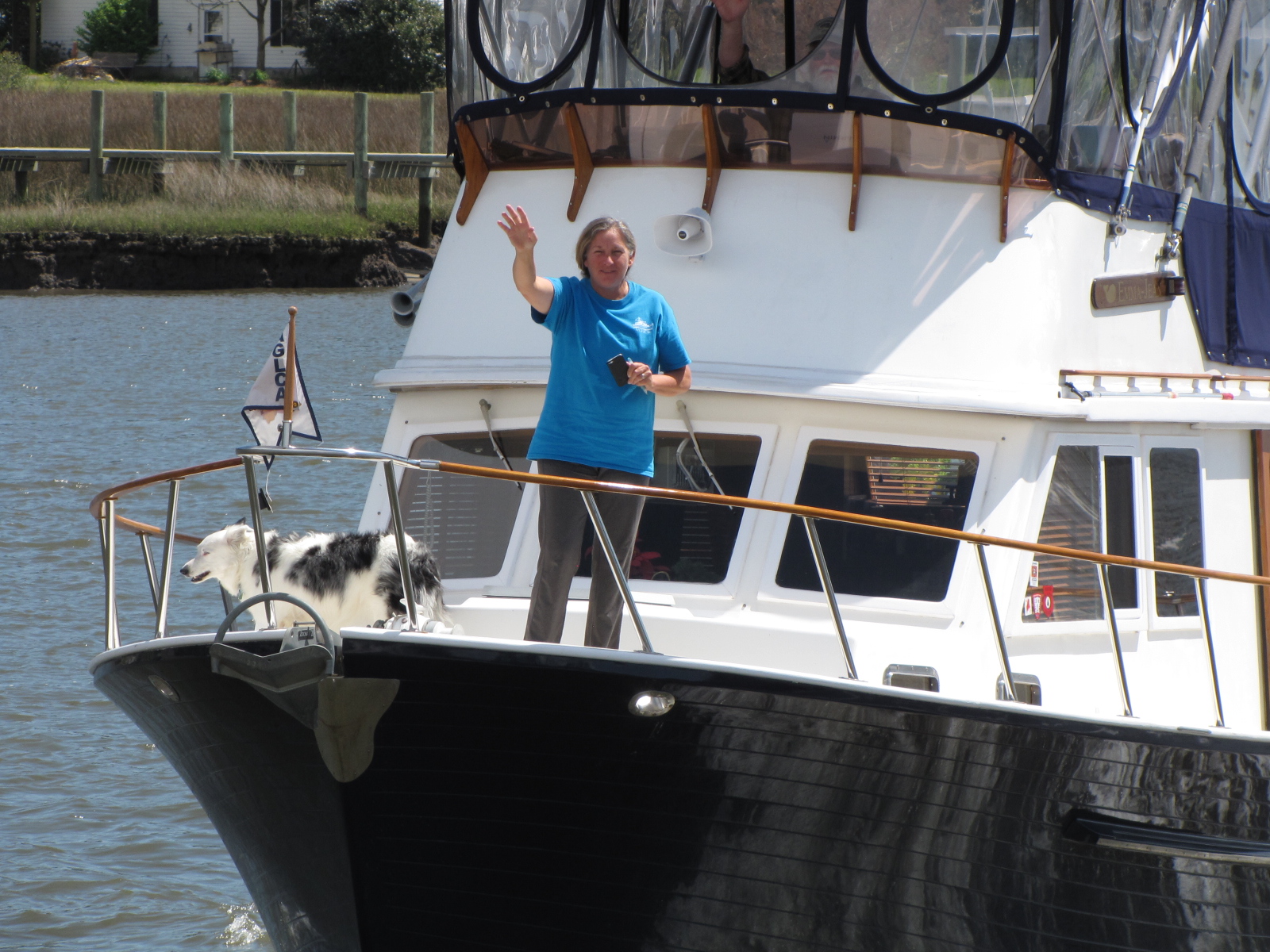
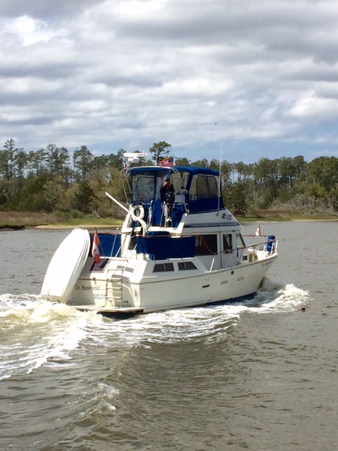
Shannon had sent me the picture she took of us the previous day  so I’ve included it here.

our boat April 6

In the morning at our Cedar Creek anchorage, a cold front along with rain, thunder and high winds passed through.  We were playing canasta at the time, and didn’t notice at first, but the wind had moved us about 50 feet further into the crab pot field.

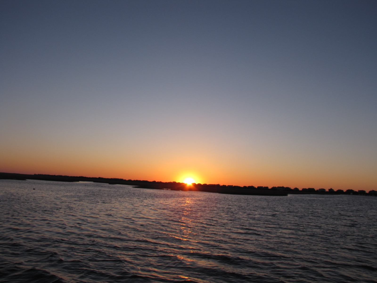
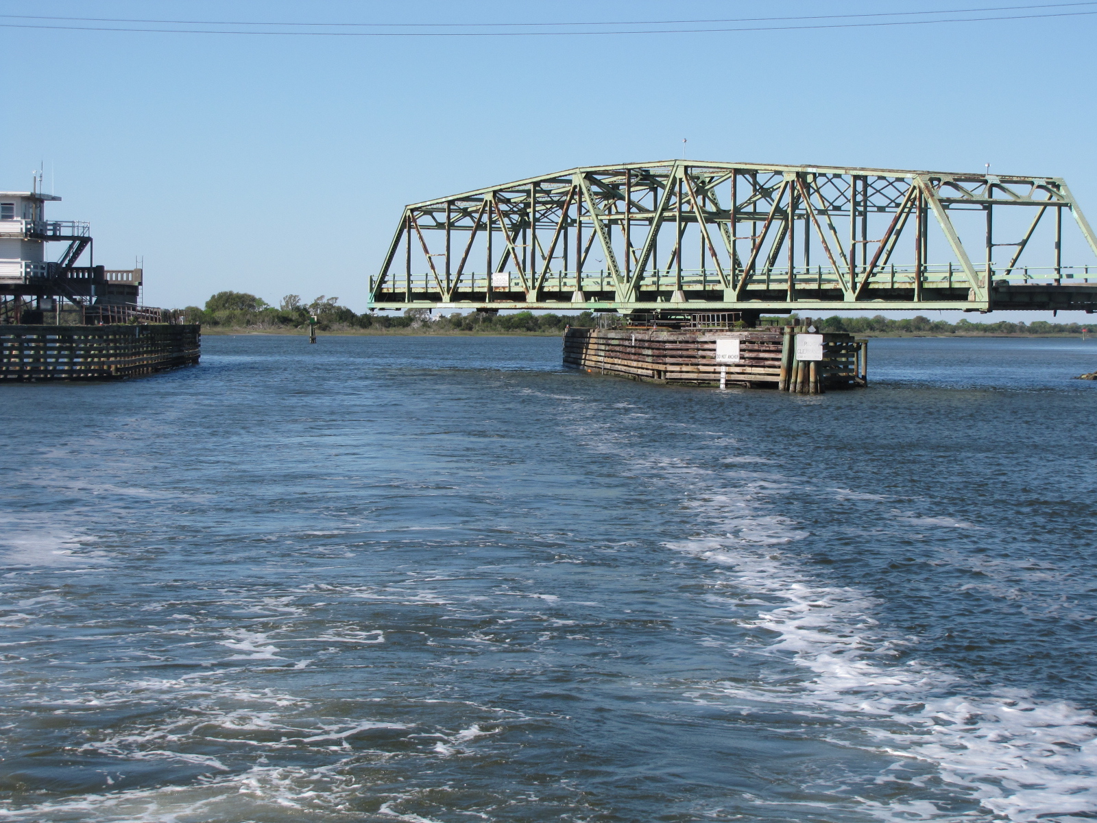
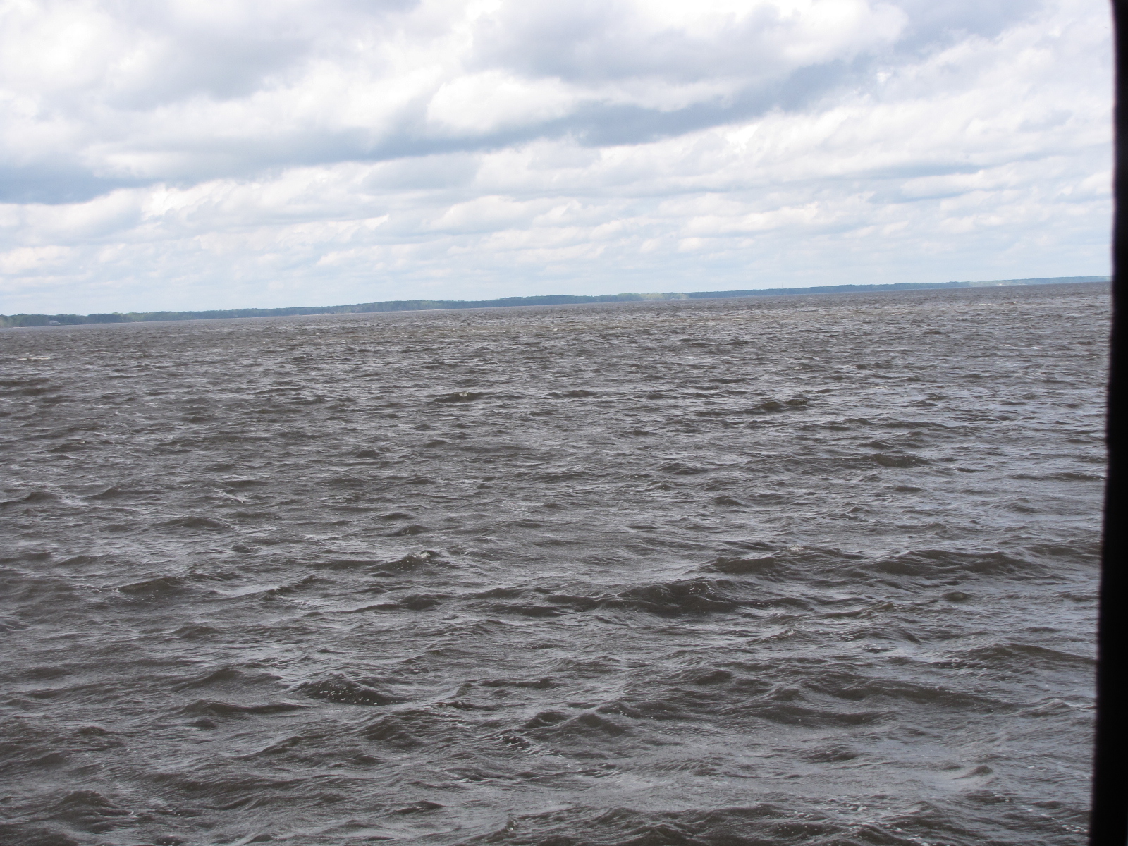
We waited until the rain quit, and then slowly pulled up the anchor, so as not to catch on any of the pots that were surrounding us.  We decided it wasn’t safe to be here and since it was clearing we decided to move to a better anchorage closer to New Bern.  We entered the Neuse river at about 11:30, and traveled  north-west for about 2 hours,  the river was choppy due to the wind and shallowness of the river.

IMG_5599   
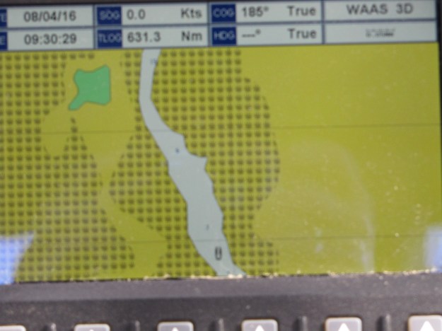
At one point the GPS screen went blank—not sure if it was because of bad reception or jammed, as we saw 3 jets fly by. Once we got into the marked channel we turned east after marker 15 and sounded our way into Goose Creek, around several shoals.  At times we were in 7-8 feet of water, but were protected from the winds and waves.  We proceeded up the creek, past a house and dock to where it turned north and weighed anchor in 9 feet of water.

IMG_5600The GPS showed this as uncharted water.

IMG_5605

We hardly moved, unlike the previous night’s anchorage.

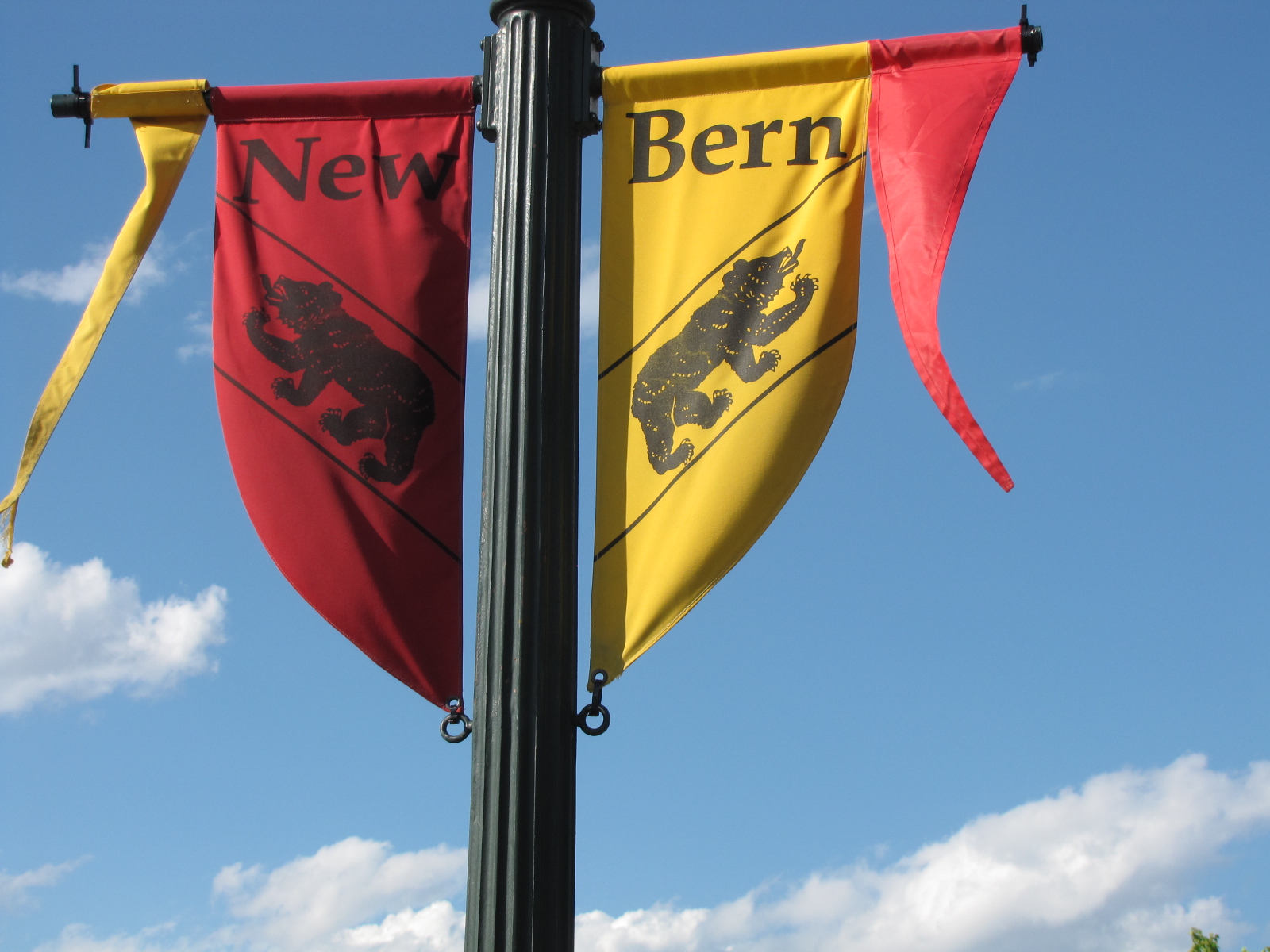
In the morning we pulled up the anchor at 9:45, and reversed our route back to the marked channel, reaching it at 10:30.  We continue in a north-west direction to the city of New Bern.  We tied up at the Galley Marina at 11:30.

IMG_5632

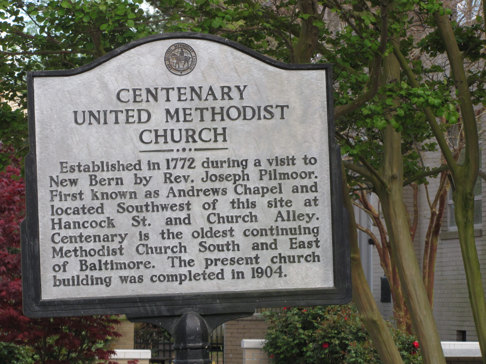
In the afternoon we ventured downtown.  Andy found a barbershop and made a 3:00 appointment, while we waited we went for ice cream.  Andy  went back for his appointment  and I went walking   farther  down  the street and found this church,


IMG_5611
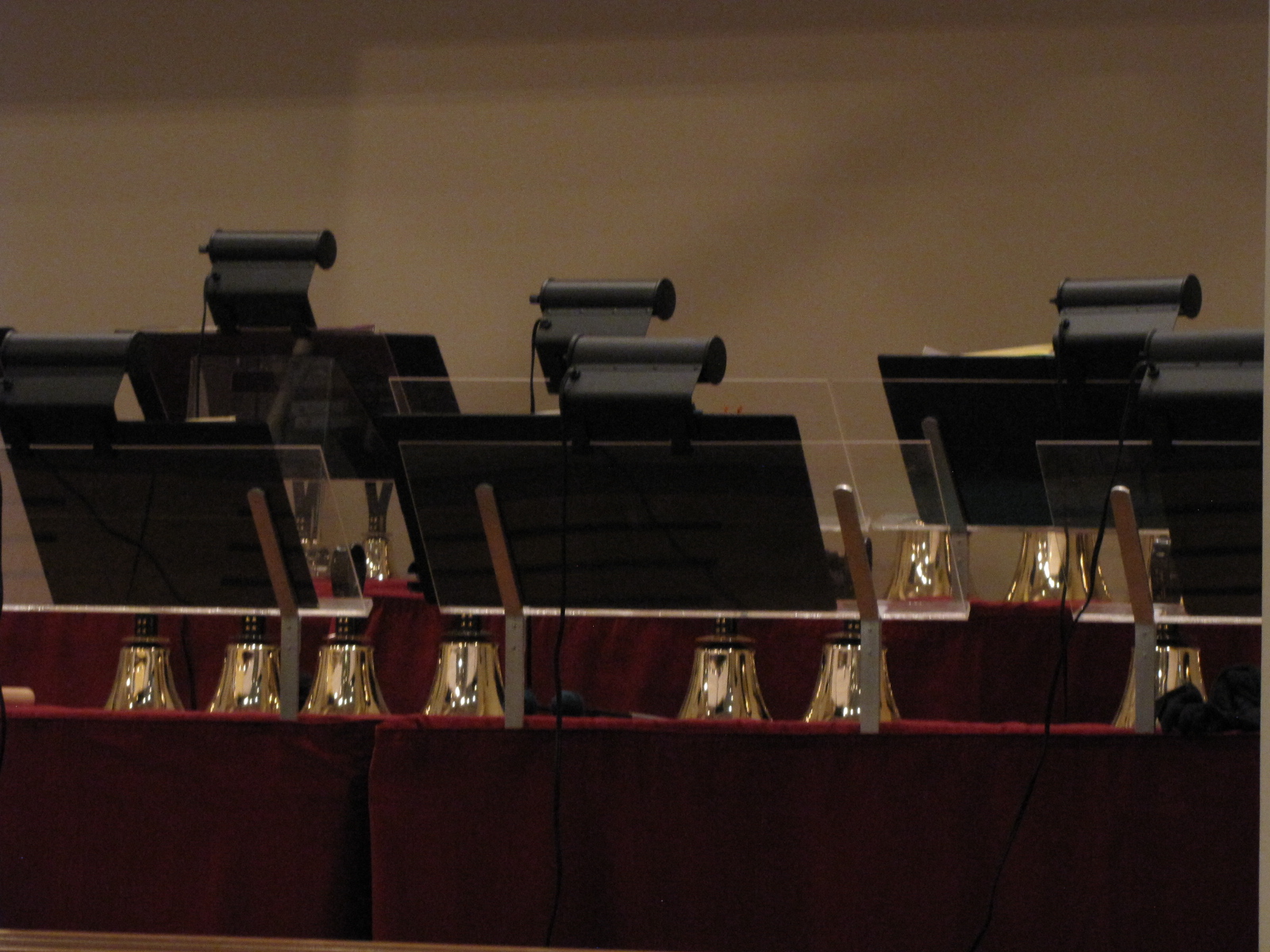
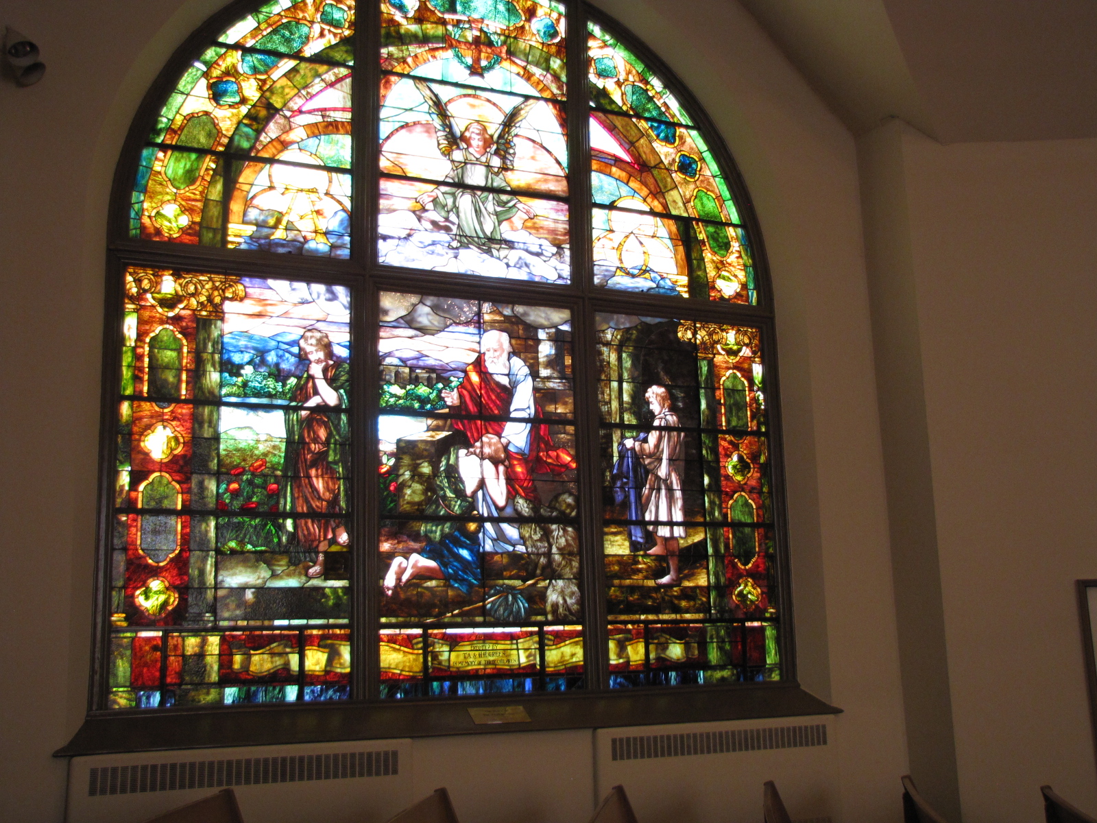
with amazing stained glass windows, as well as a  bell choir—took this picture for Susan  S.

IMG_5612 IMG_5613 IMG_5615 IMG_5617

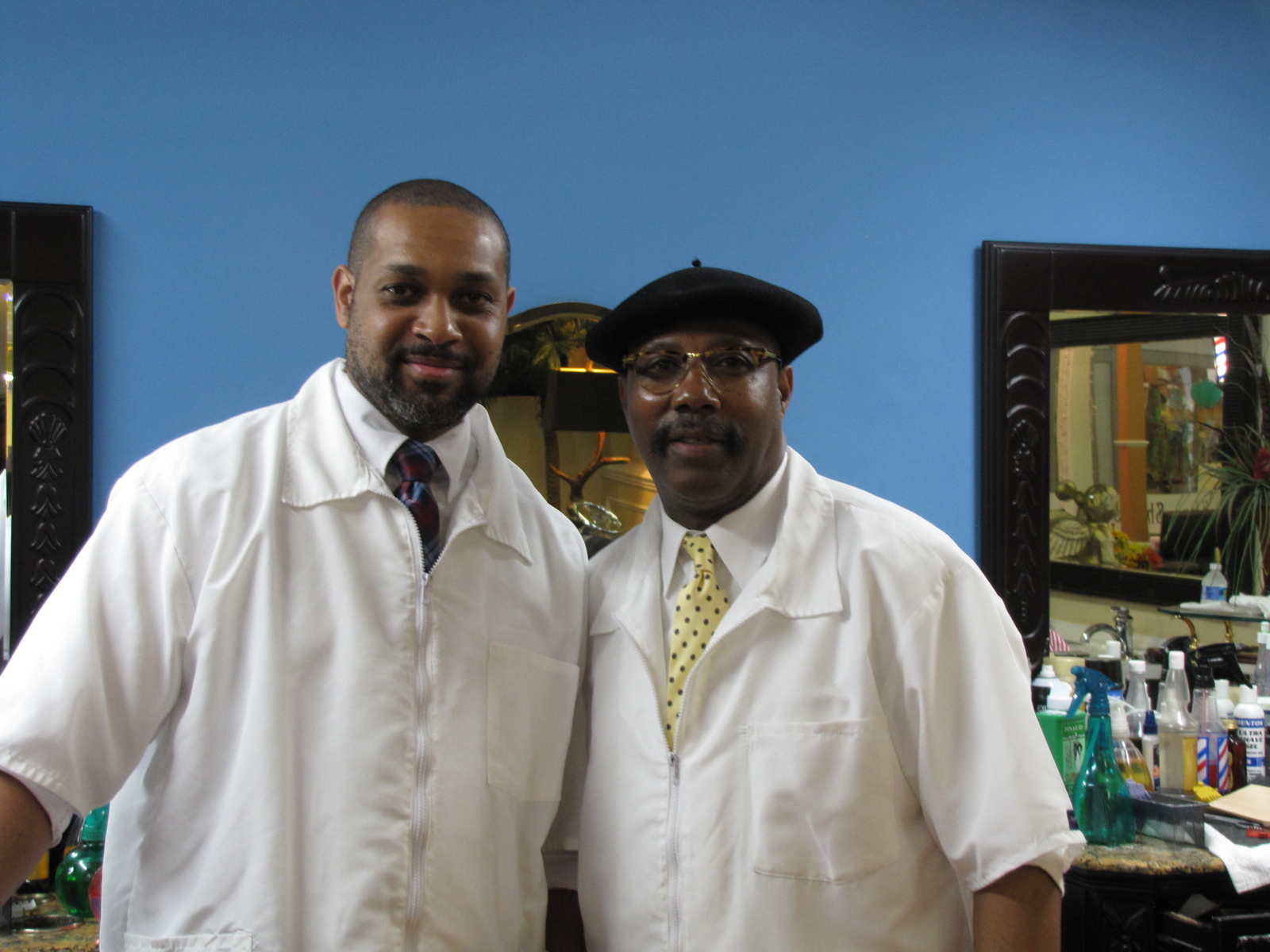
I walked back to the barbershop and waited for Andy and talked to a couple of locals. Here’s the barbers- very  professional looking.

IMG_5619

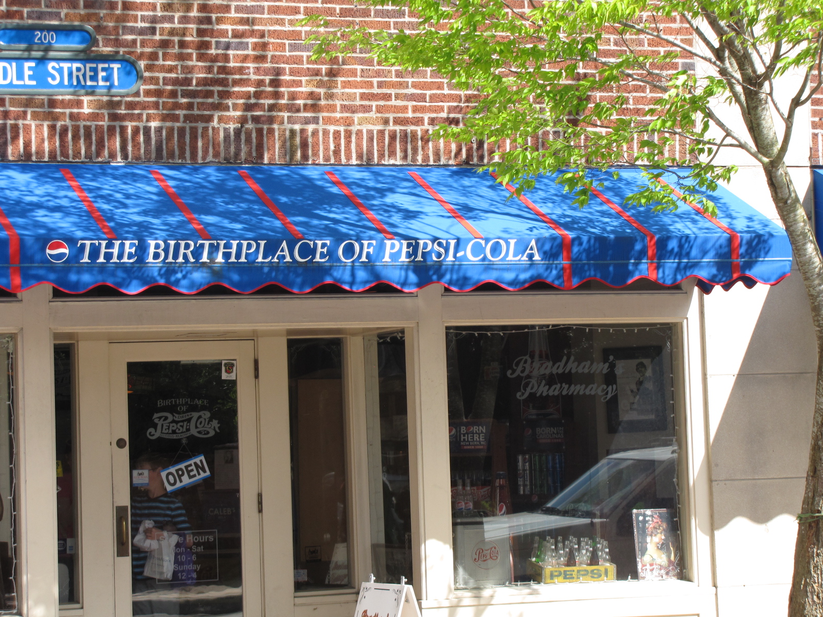
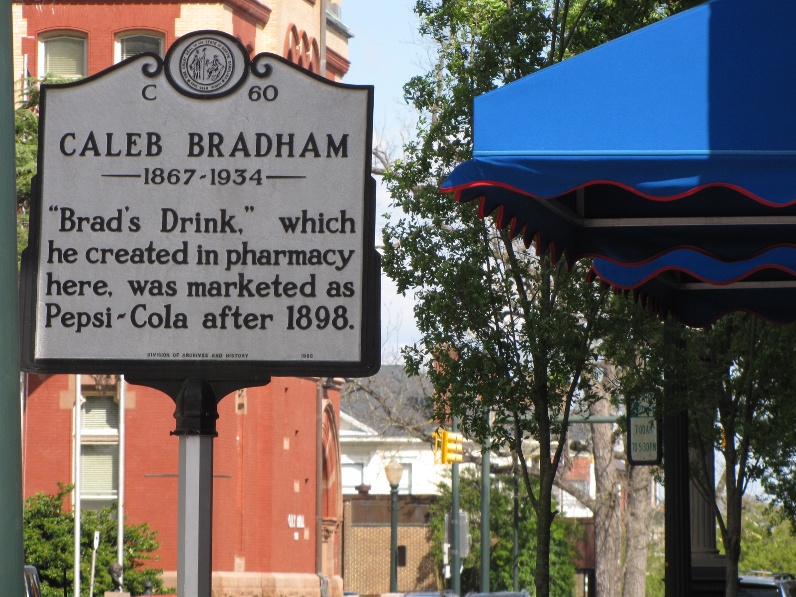
We then went over to the drugstore where Pepsi Cola was created, I’ve included the original formulation that was written on the wall.

IMG_5623 IMG_5624

IMG_5625

We checked out some other stores  and saw several bears around town, with different painted costumes- similar to the polar bear exhibit in Winnipeg a few years ago—I’ve included a few…

IMG_5628 IMG_5631 IMG_5633

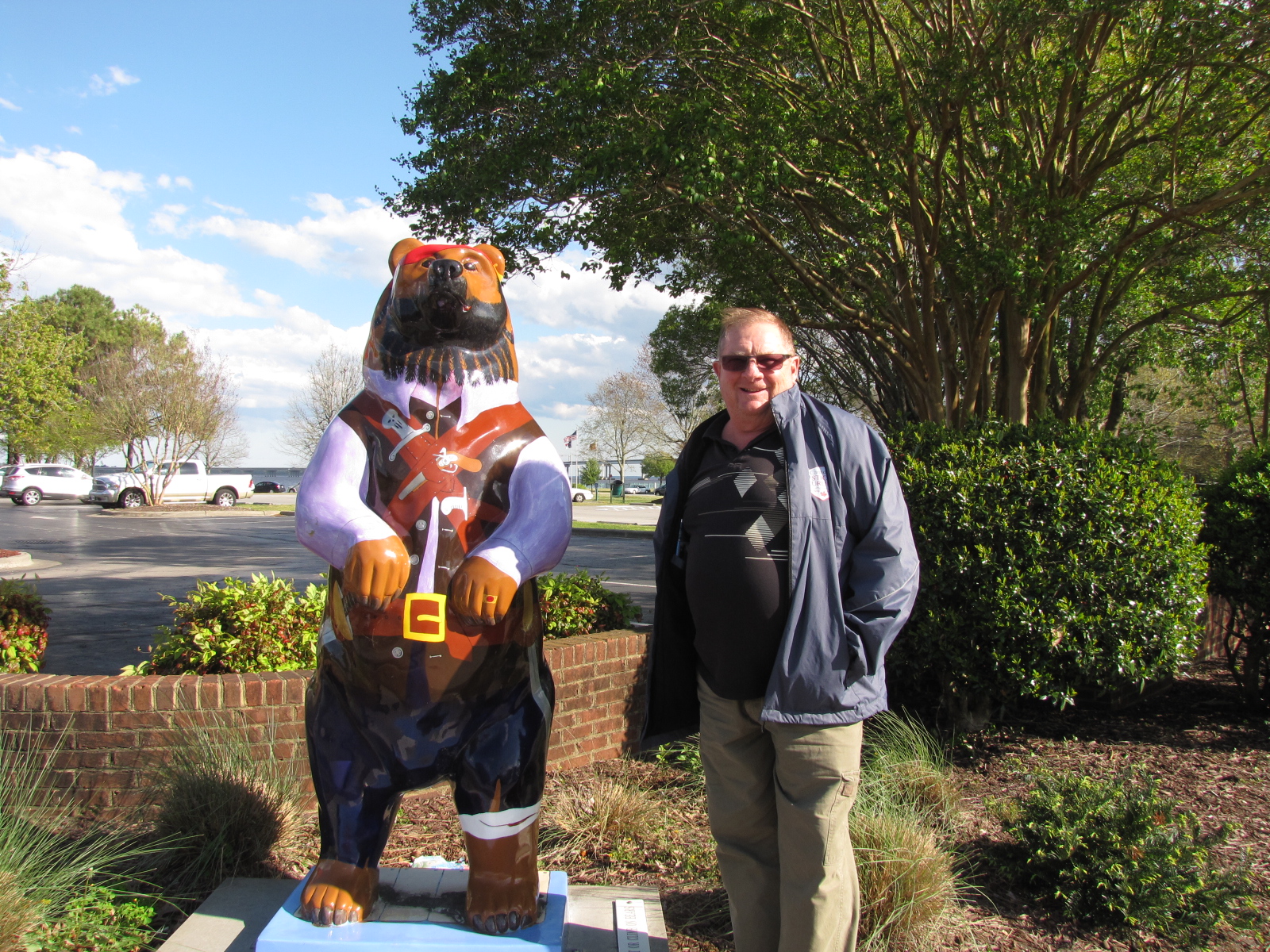
Even a Pirate Bear standing with Andy.

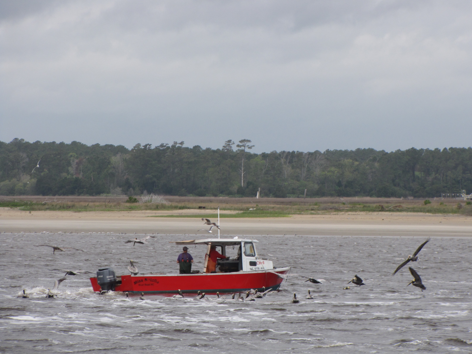
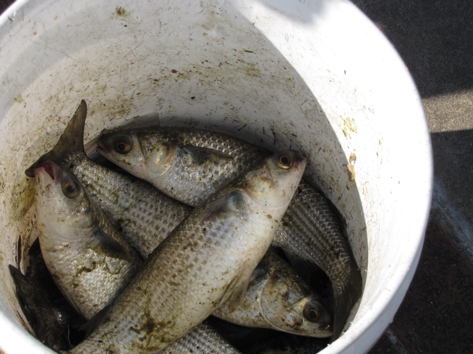
We walked by the waterfront, where people were catching sea mullet.

IMG_5629

At 5:30 we went up to the Galley store for wine and beer tasting.;  There were 5 wines ( 2 whites and 3 reds) and 3 beers as well as snacks that you could  try for $5, but because we were guests at the marina it was free.  We returned to the boat shortly after 7:00 and met Denise and Paul who are from Petoskey MI  loopers on Zephyr.

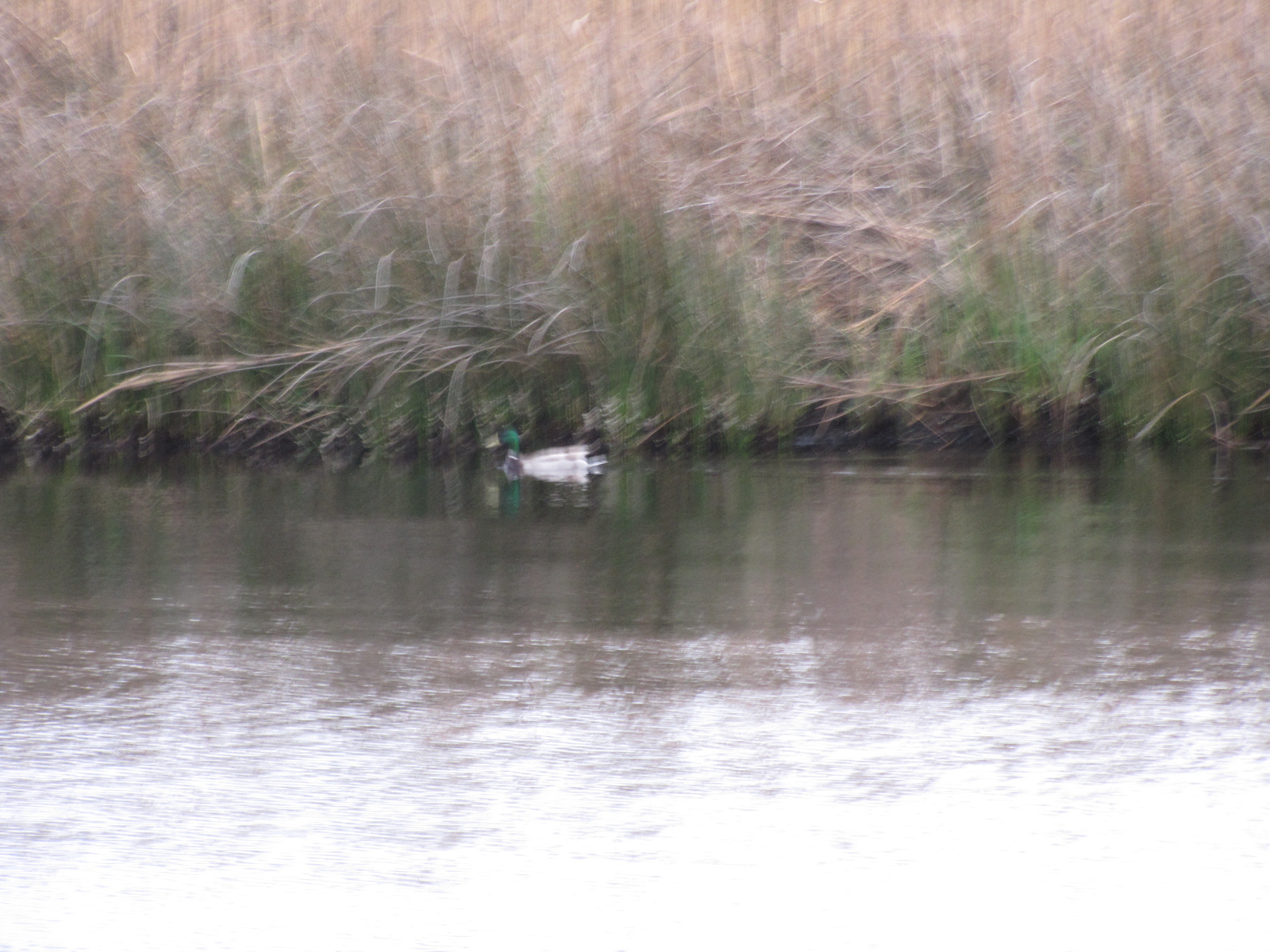
We saw ducks a few times today, this first  one was near our anchorage this morning and the second one  swam by the boat after we were tied up in New Bern

IMG_5603 IMG_5610

&  later  we saw this pair  in downtown New Bern disrupting traffic.

IMG_5626

We plan to go to the Farmer’s Market in the morning and then borrow the courtesy car to go to pick up some groceries and do laundry.


Stump Sound visit

April 4-6 update

We borrowed the courtesy car and did some grocery shopping and went out for lunch.  Later that afternoon Emma-Jean docked beside us, we had met them last week at Osprey.

At about 4:20, Betsy Rhew arrived from Timberlake NC, which was over 3 hours away.   She was Andy’s Grand Representative counterpart in 2012, and is currently Grand Adah for the state of North Carolina.  We had met Betsy at North Carolina’s Grand Chapter in 2012 at Raleigh.

We went to  an Eastern Star meeting at Stump Sound Chapter #338, and enjoyed a delicious supper and a great meeting- their 1st of the year, as installation was only a couple of days ago.

IMG_5552

IMG_5545 IMG_5551

Here’s Betsy and Andy.

IMG_5556

We met some very nice people, who asked Andy to speak about our boat trip.There is  no shortage of men in this chapter- 7 of the officers were men.

IMG_5562

Betsy stayed the night and she and Andy had a good visit chatting and looking at pictures.


In the morning, the winds started to gust at about 6:00 and there were whitecaps.  After Andy made breakfast, Betsy left to drive home.  We conferred with Larry and Shannon on Emma Jean, and learned that the Swing bridge 7 miles up the ICW, was not opening because of the winds.  So we stayed an additional night in Sneads Ferry, as there was no place to go.  On Tuesday afternoon, we once again borrowed the courtesy car and drove into Jacksonville.  Our mission was to go to the Verizon store and determine why our Mifi had not been loaded with the Gigabytes that we had purchased in Myrtle Beach.  We had called the Verizon call centre several times over the last 2 days and had not been successful in having our jetpack credited.  Finally at the second Verizon, Kimberley, with the aid of someone on the phone was able to get us our data.

On our return we had Shannon, Larry and Brian, another boater who tied up to stay out of the wind over for docktails.

We had an early night,  the forecast was for temperatures close to freezing, so extra blankets came out.

On Wednesday, we departed at 7:50 and headed for the cut through Camp Lejeune.  We made the 9:00 opening of the swing bridge and continued on through the base.  Here’s a picture of military vehicle along the waterway.

IMG_5578


Here’s the view of the Atlantic near Bogue inlet,

IMG_5579

by the village of Swansboro, which we passed through at about 10:30.    We continued up Bogue Sound for many miles and reached  Moorehead City just before 13:00.     Here Beaufort inlet flows into the ICW.  The water flow from the Atlantic ocean affected our progress– at times we were going almost 11 miles per hour and at other times less than 6.  At 13:30 we entered the Adams Creek canal.  We caught up with Emma Jean, and passed them, as they were going to a marina along the cut whereas we had opted for anchoring out about 5 miles farther along the canal.

Here’s their boat and then Shannon and I taking pictures of each other’s boats.

IMG_5591 IMG_5592

Also saw this house along Adam’s creek that caught my eye.

IMG_5594 IMG_5595

At 15:15, we set our anchor in Cedar Creek, where one other boat, Otter, was already anchored, along with about 30 crab pots.

Had a short day to get to Swan Point

Here’s the sunrise from our anchorage at 7:00, I was up as I had very little sleep because of the winds gusting most of the night causing us to swing.

IMG_5517

We left our anchorage at 7:35, and proceeded north on the ICW.  At about 9:30, we came across this marker- which would have confused me but the captain knew it was a bifurcation marker, stating you could go on either side but the top colour is preferred.

IMG_5518

We arrived at the Surf City swing bridge at about 9: 45, and had to wait  with another boat until the 10:00 opening, as the clearance was only 14 feet and we draw just over 17

IMG_5532

IMG_5524

Here’s a view of the bridge closing behind us and one of the Surf City water tower.

IMG_5533 IMG_5534

I’ve noticed the last couple days that the crabbers around here use very small boats- here’s one of their crab pot stockpiles on this  island.

IMG_5526  I also saw this house with its own  light house somewhere near Alligator Bay—it’s not purple but it is memorable there seems to be some type of bird painted on one of the sides.

IMG_5536

We arrived at Swan Point marina  in Sneads Ferry at about Noon, mile 246.9—this is more of a working yard than marina,  We’ve noticed already  that we get rocked a bit as boats go by on the ICW.

IMG_5539

The marina has a courtesy car which we plan to use tomorrow to go for groceries and then in the evening to go to an Eastern Star meeting.

Sneads Ferry is located very near  to Camp Lejeune, a US  Marine Corp base, once we leave here  the ICW will take us through the base.  At times the ICW is closed while they are conducting military exercises.  I think they are currently doing something as every few minutes we hear big booming noises  which may be guns going off.


We survived Cape Fear

Here’s the North Carolina coastline showing some of the places we will see this month.

NC_map

Remember the 17 boats in our anchorage—I think most of them are only being stored there, as only one other boat had a visible anchor light.  It did rain several times through the night.  We left the anchorage around 10: 00 and made our way into Southport which  seems like a quaint place.

IMG_5479 IMG_5482

Here’s a picture of the Oak Island lighthouse which marks the Cape Fear inlet.

IMG_5478


Once we turned into the Cape Fear River, Andy  had  the wind, tide and current to contend with, and there were some big waves.  Nothing the Captain couldn’t handle.

Going up the channel we had a ferry pass us, and we ended up meeting another one, within a few minutes .  They take cars and people back and forth between Southport and Bald Head Island.

IMG_5488

IMG_5489 IMG_5490

We later saw a crabber picking up traps and surrounded by birds.

IMG_5493

We had to go through a narrow cut called Snows Cut from the Cape Fear River into  the ICW along the coast—didn’t see any snow here!   At the end of the cut is Carolina Beach which had several marinas.  We continued up the ICW  and went through Wrightsville Beach, just passed the Wrightsville Bridge I saw this shoal marker, that the birds seem to enjoy.  The tree was fake.

IMG_5512

I also saw this many-sided  house, which was unique looking,

IMG_5505

and a  vessel called Cape Fear.

IMG_5508

We tried to anchor around mile 283 at 2:00 ,  but the anchor didn’t hold, so we moved on.  We ended up going another 5 miles and anchored in a canal  north of the Figure 8 bridge between the ICW and the Figure 8 Yacht club around 3:00.

IMG_5513 IMG_5514

When we first anchored there was a storm cell blowing through, and we weren’t sure if we would stay  put for the night, it’s now 500 and we are still here.

Tomorrow the plan is to move on to Sneads Ferry at the mouth of the  New River and stay at  Swan Point Marina.

Homeward Bound–Aprils Fools, but heading North

IMG_5406

We left Osprey at 8:15, after saying goodbye to Myles the dock master, Becky and  her dog Emme from Turas.

IMG_5408


Back on the  ICW  we went by the Bridge construction, where progress had been made since the last time we passed the site.

IMG_5411

Just before reaching Little River swing bridge the skies opened and it poured for about 30 minutes. Near the crab catchers dock where we had gone several weeks ago a Casino boat was docked.

IMG_5417

We entered the state of North Carolina at 11:50.   Very soon after we had three dolphins along the port side of the boat, they stayed with us for almost 2 miles and only left because Andy had to slow down for people fishing in the channel.  Here’s a couple pictures of our followers.

IMG_5424


IMG_5460

We passed through the Shallotte Inlet at 1305 and the Lockwoods Folly Inlet  about a hour later—here’s the view of the Atlantic Ocean from these two inlets.

IMG_5468 IMG_5472

Just  after mile marker 325 ( North Carolina actually has  markers), near Holden Beach, we saw these shrimp boats tied up.  Also saw this abandoned fishing boat in the channel.

IMG_5469 IMG_5470 IMG_5473

We arrived at pipe line canal located at mile 311 and set our anchor at 15:20.    There were 17 other boats at this anchorage, most of which were sailboats.  One of the sailboat is here permanently as only the mast is visible above the waterline.

IMG_5475 IMG_5476

We are about 5 miles from the Cape Fear River entrance,  we will follow the Cape Fear River for about 10 miles and then cut back towards the coast on the ICW.  We hope to get past Wrightsville Beach tomorrow, but it will depend on the weather as there is a thunderstorm forecast for later this evening.