We got off to an early start, leaving the Marina at about 6:30 we went back to Dave and Kathy’s house so we could take a picture of it from the water and to our surprise Dave was up and taking a picture of us. Here’s Dave’s picture, 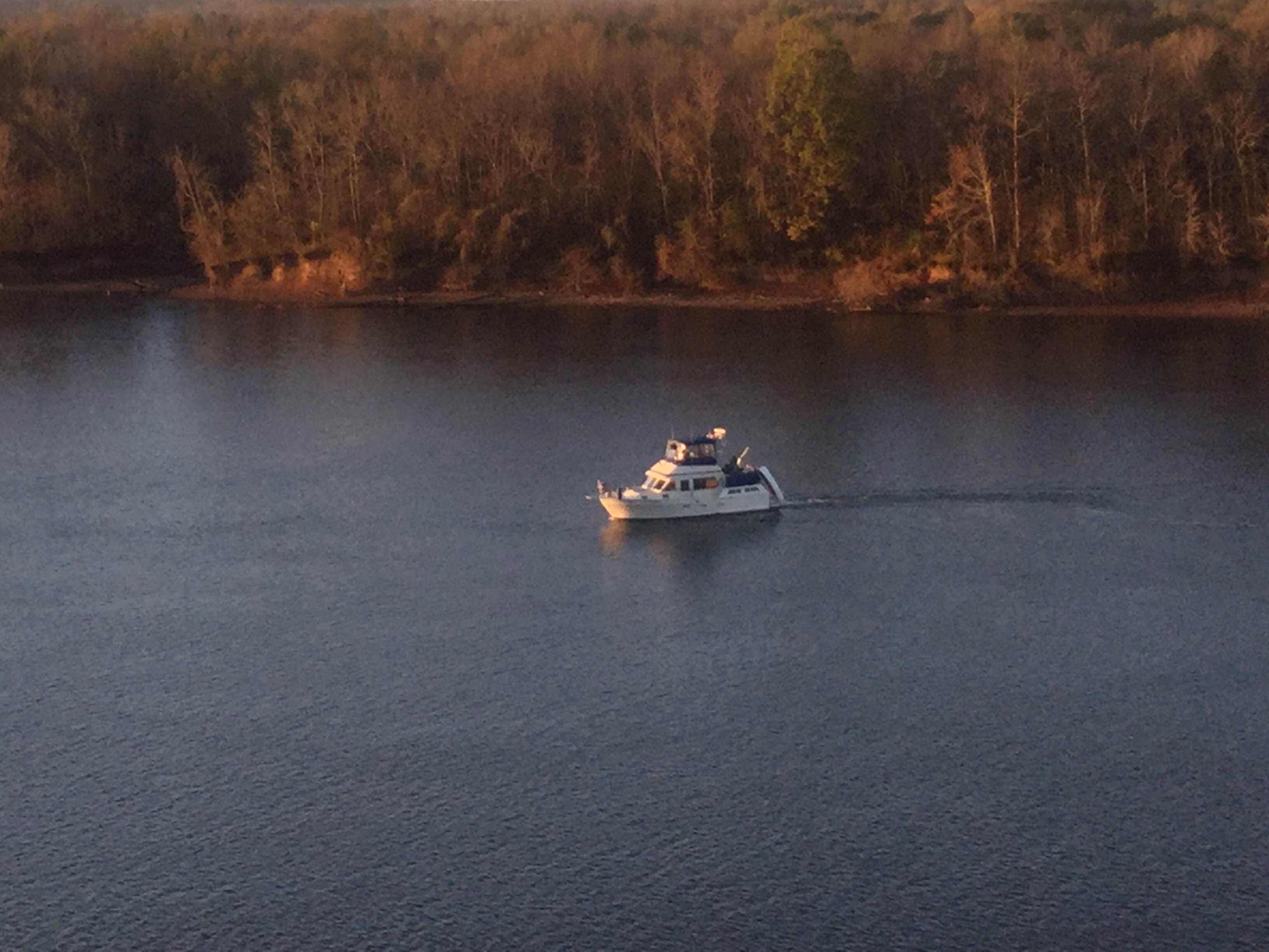
 and here’s mine….. When Kathy sent the picture- she said it was rare for him to be up that early. Great picture thanks for sharing.
We continued on down the Tennessee River and saw a number of towns and campgrounds. I think we met 3 tows today, but saw a number of boats with people fishing. Here’s what the weekend homes look like along the river, all the Rv’s seemed to be covered by metal clad roofs which we suspect must be needed to provide shade. Houses were built on stilts in the event of flooding.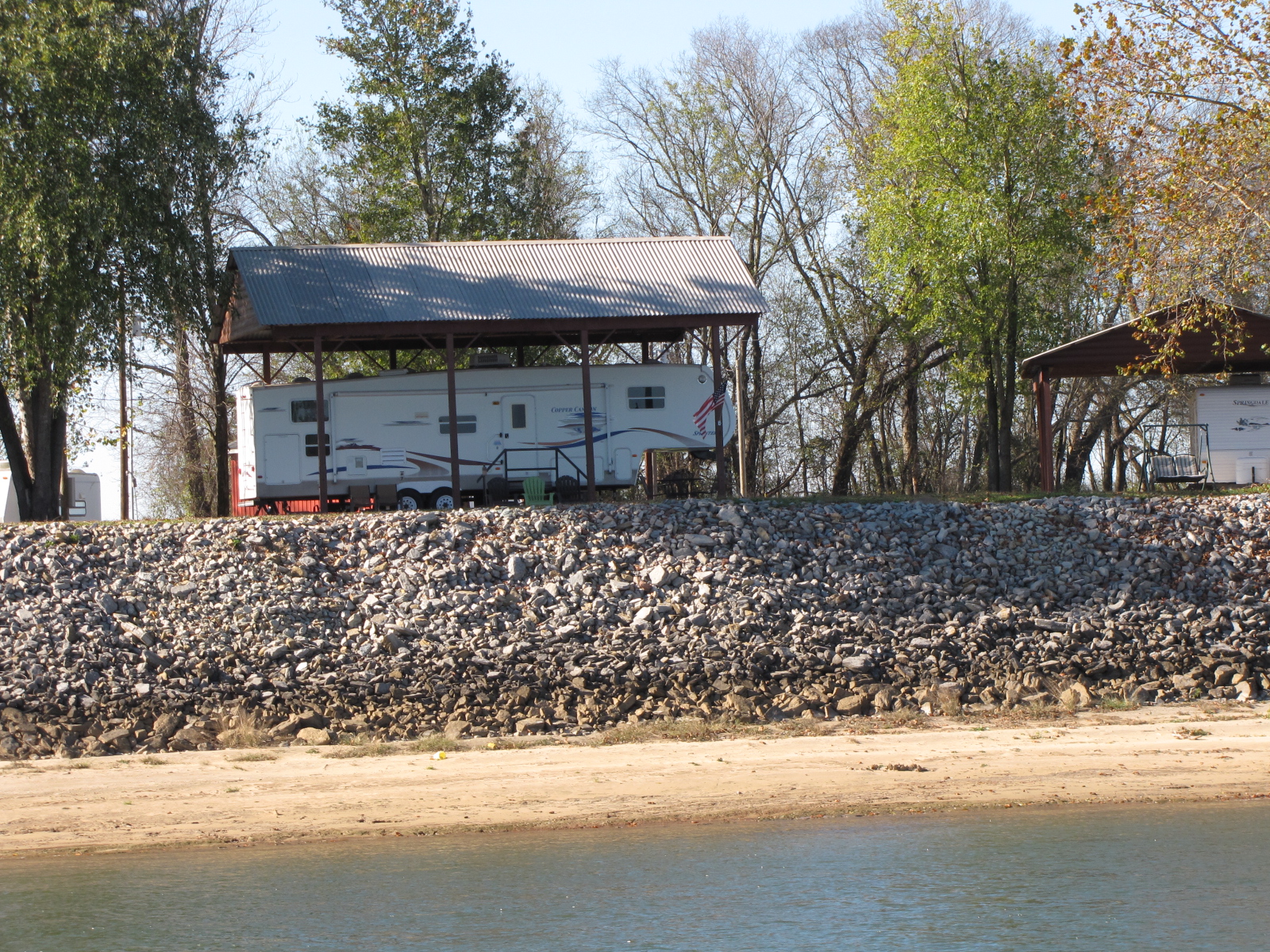
 We made it to Pickwick Lock and Dam just after noon, and were able to lock right through. With the current, wind and 55 foot rise it was tough securing the boat to the lock wall and both of us had our hands full. We then crossed Pickwick lake, to the start of the Tenn-Tom
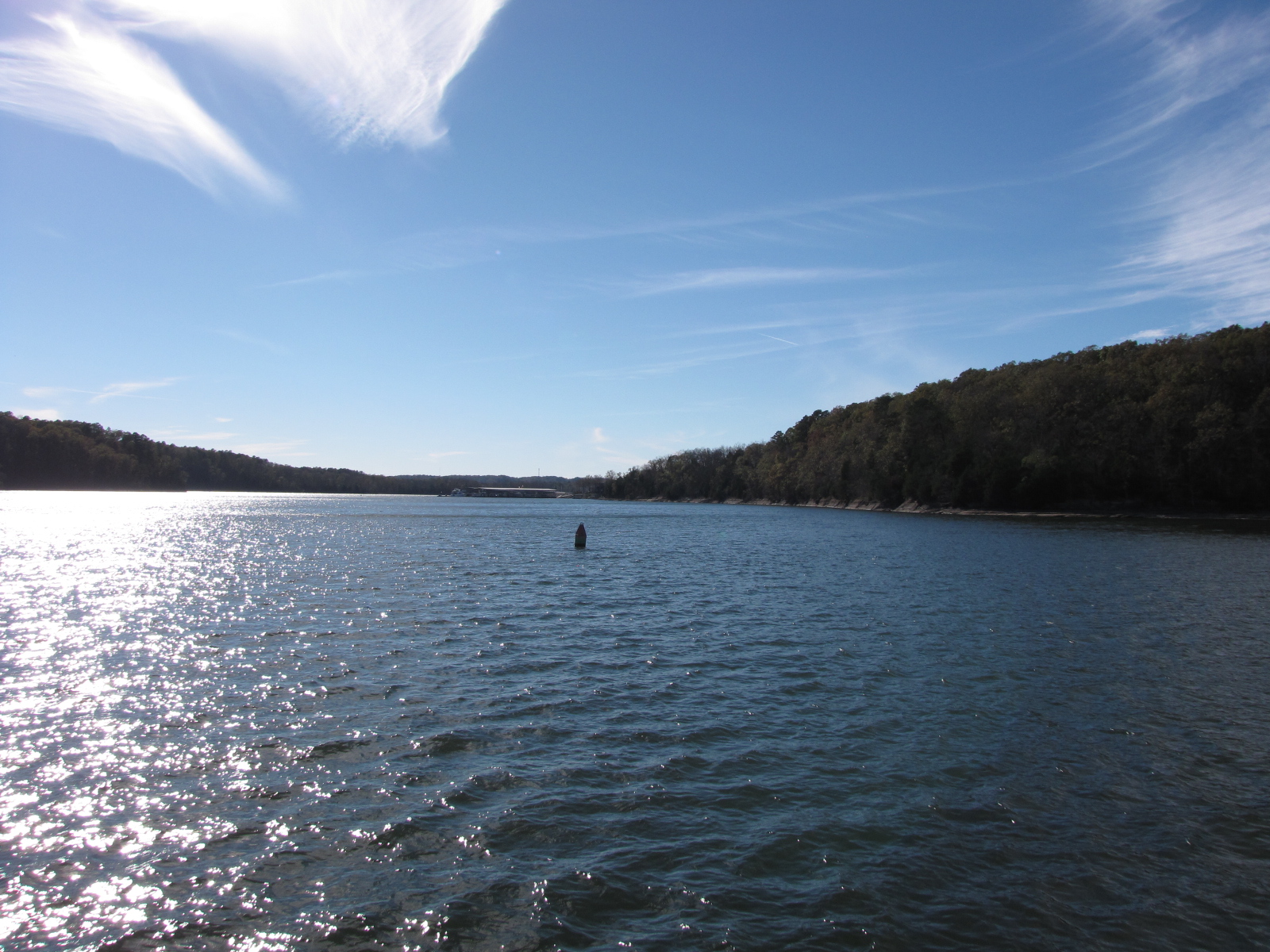 this waterway was completed in 1985 and connects the Tennessee river with the Tombigbee River in Demopolis Alabama. We now have approximately 450 miles, and 341 feet of elevation to go down ( this means lots more locks- Yipee!!) until we reach Mobile Bay. I’ve include a map and factsheet.
.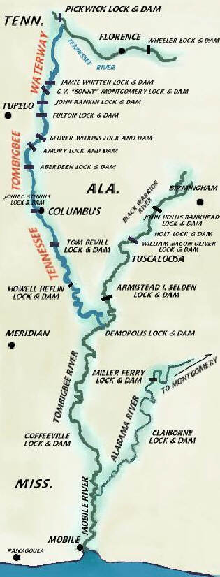
Tenn-Tom Quick Facts
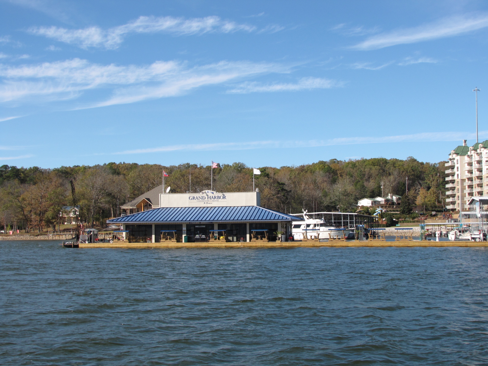
We’re spending the night at Grand Harbour Marina, and once again are planning an early start as we’d like to tackle a few of the locks tomorrow, and get into a marina as the weather man is calling for a “FREEZE WATCH” over the mid- south which means that the sub-freezing temperatures will kill crops and vegetation! It’s got to be true I heard it on the radio!