Well it’s been a week since we arrived in New York City & State and we’ve come along way. We have traveled 160 miles along the Hudson, followed by 154 miles on the Eastern Erie Canal. In the canal we have gone through 20 locks which gradually elevated us by 420 feet.
We left the Lock 20 wall at 545, and started down the canal. It was overcast, but there wasn’t much wind.
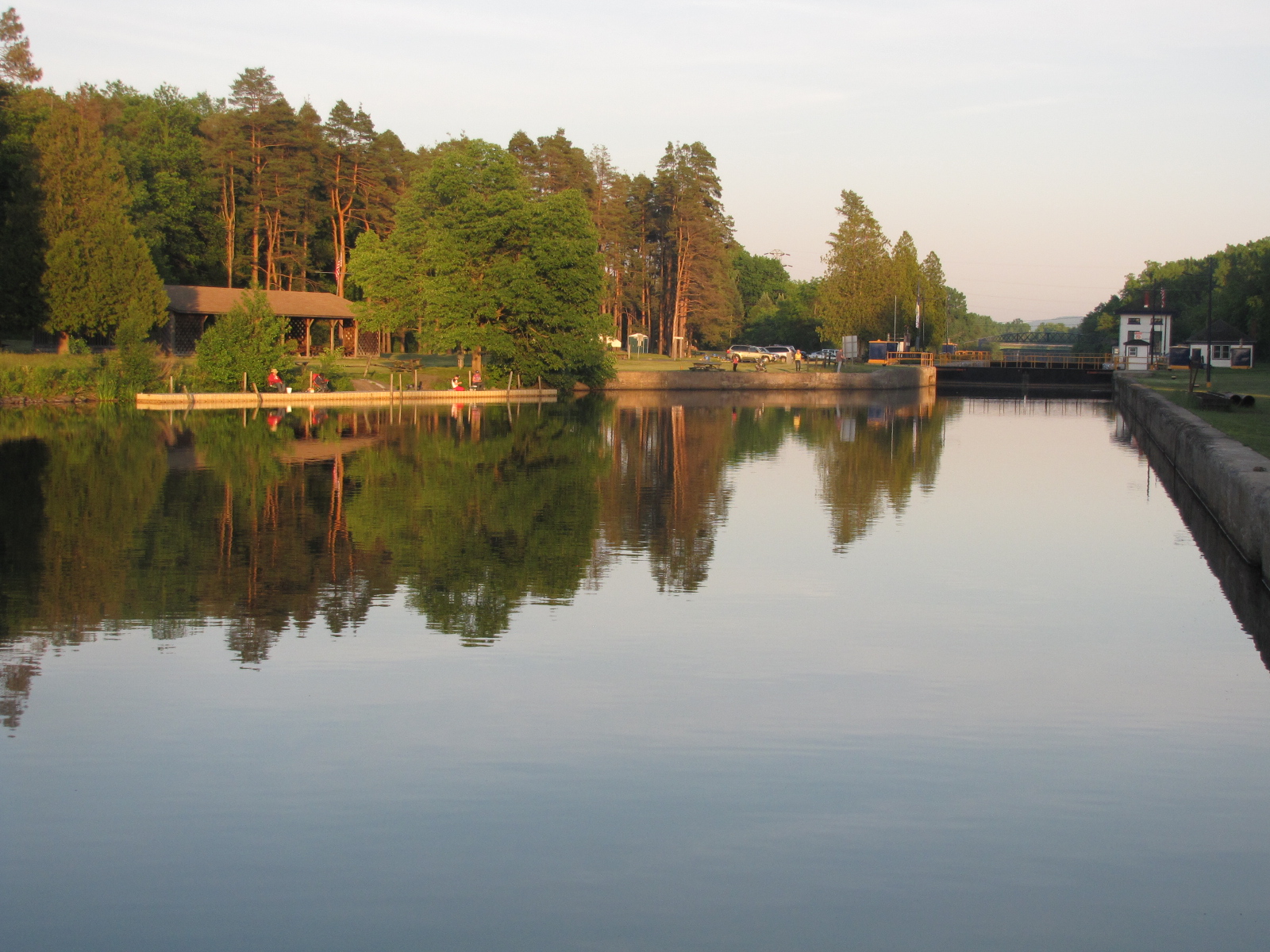
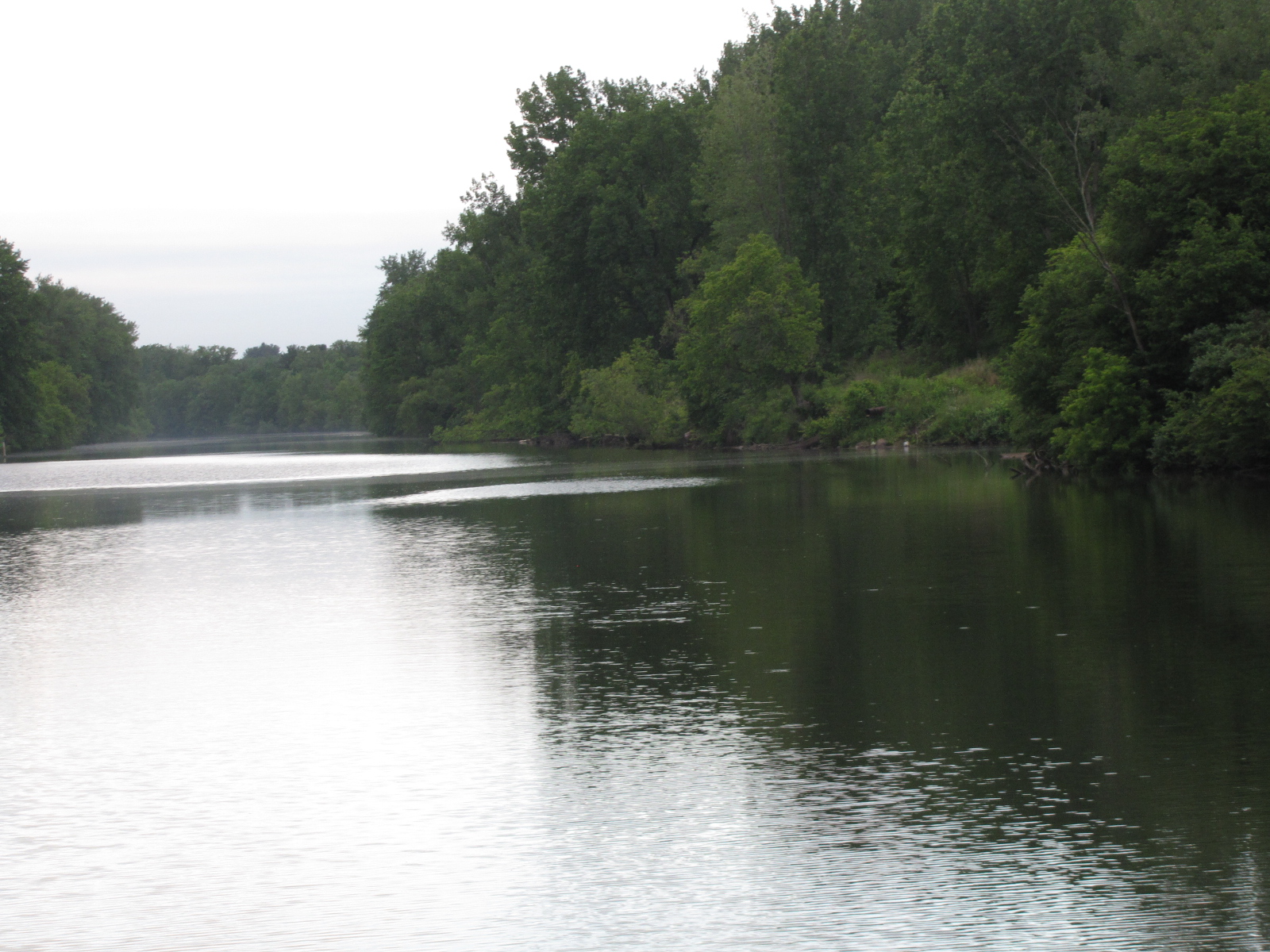 Just after 7, we reached the town of Rome, which is the highest point on the Erie canal. There was a very nice free dock located in Bellamy park.
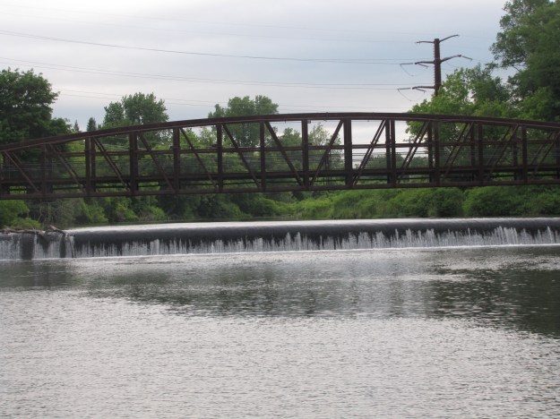
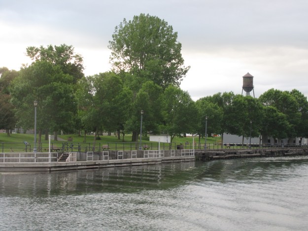
I saw lovely yellow iris, growing along the waters edge in huge clumps- would love to take some of them home for my fish pond.
A little farther along the canal we saw portions of the original Erie canal, which is used as a dry lock

We reached Lock 21 before 8:00, but no one responded to our calls until after 8:00. They got the lock ready and we were through by 8:20.

We went a mile farther to Lock 22 and it was ready and waiting for us. We got through it by 8:40. 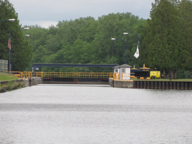 Locks 21 & 22 brought us down a total of 48 feet- it was nice to have a descending lock- they are much easier to manipulate. I saw a deer swim/walk across the canal just after Lock 22, but didn’t have my camera handy to get a picture. I did have the camera to capture these little ducklings that weren’t sure what to do when 2 big boats were approaching them from different directions.
 At 9:10 we reached the banks of Lake Oneida, it is about 20 miles long and 3 miles wide. Here’s a shot of a portion of Sylvan Beach,
 this town has 4 miles of beaches as well as an amusement park with a roller coaster.
The first 10 miles of our crossing wasn’t too bad, but as the wind gusts increased to 30-40 mph, the waves also got larger.

At time the waves hitting the bow splashed up in the flybridge causing the captain to have to dodge the splash- or get soaked. We made it across
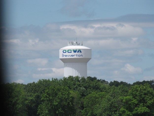 and were tied up at Winter Harbour Marina in Brewerton by 11:45.

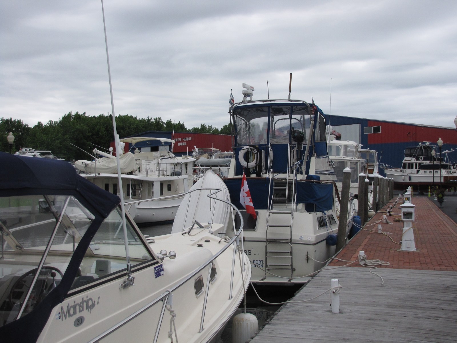
Very soon after there was a distress call from the Coast guard saying that there were people in the water near Brewerton—we suspect that it may have been the fishing boat we had seen while we were crossing the lake. They must have been rescued, as the call only came over the radio once.
We met some more boaters and went into town to buy some provisions.











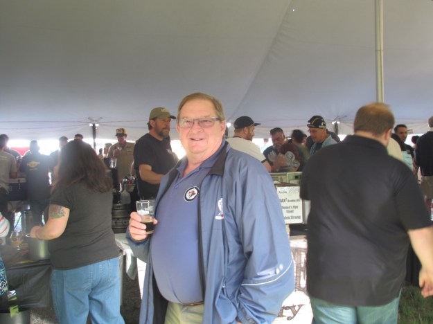
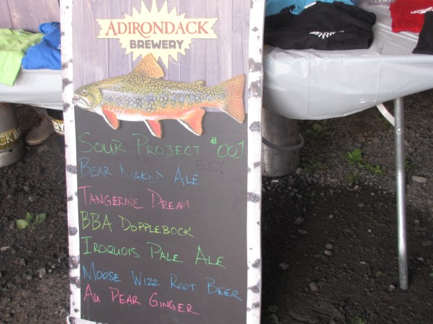
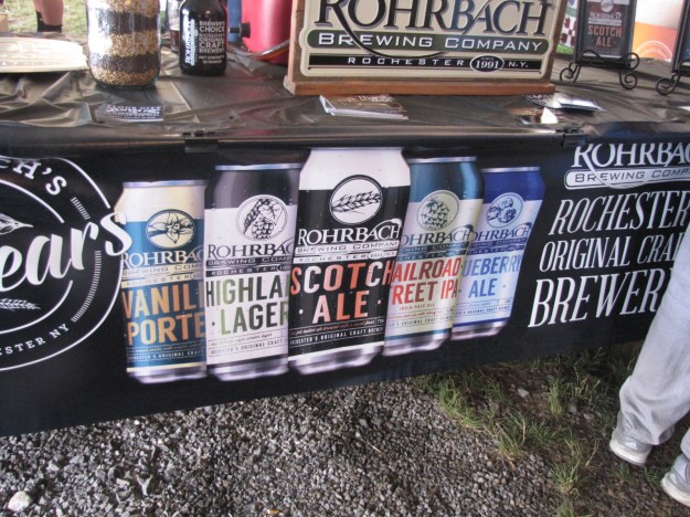
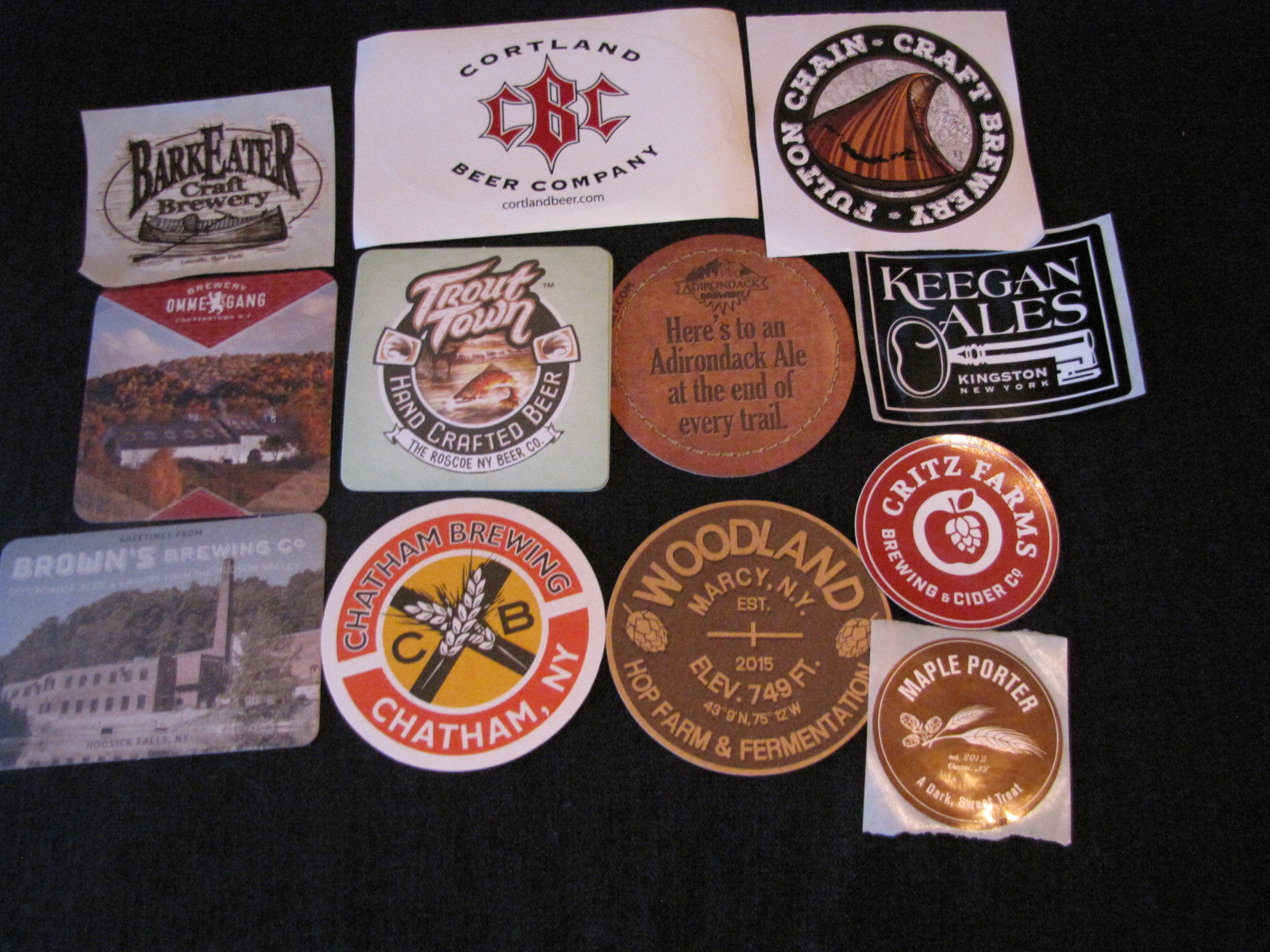
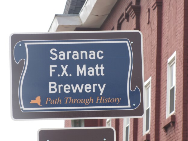 Aaron oversees barley and malt analysis in Oneonta NY at Hartwick College, so he knew many of the participants. Andy and I wandered around and tried many samples,




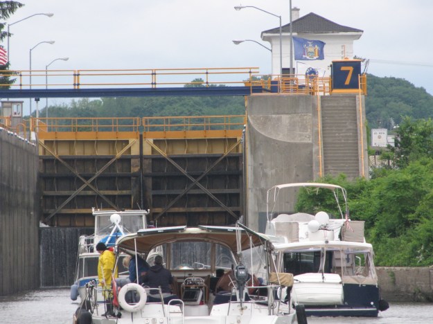

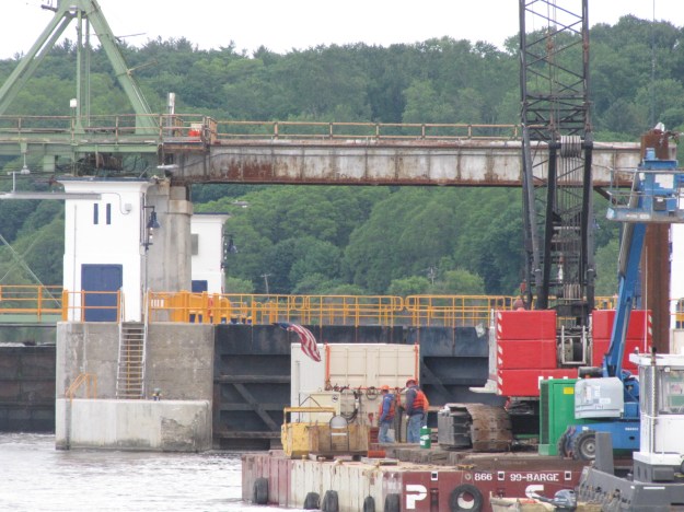
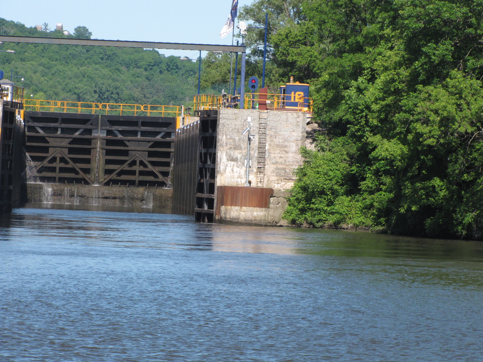
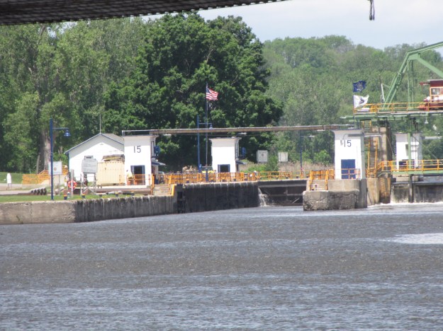
 We made it through Fort Plain Lock 15 by 12:50 and had contemplated tying up to the East side of the lock but the wind was brutal, so we continued on.
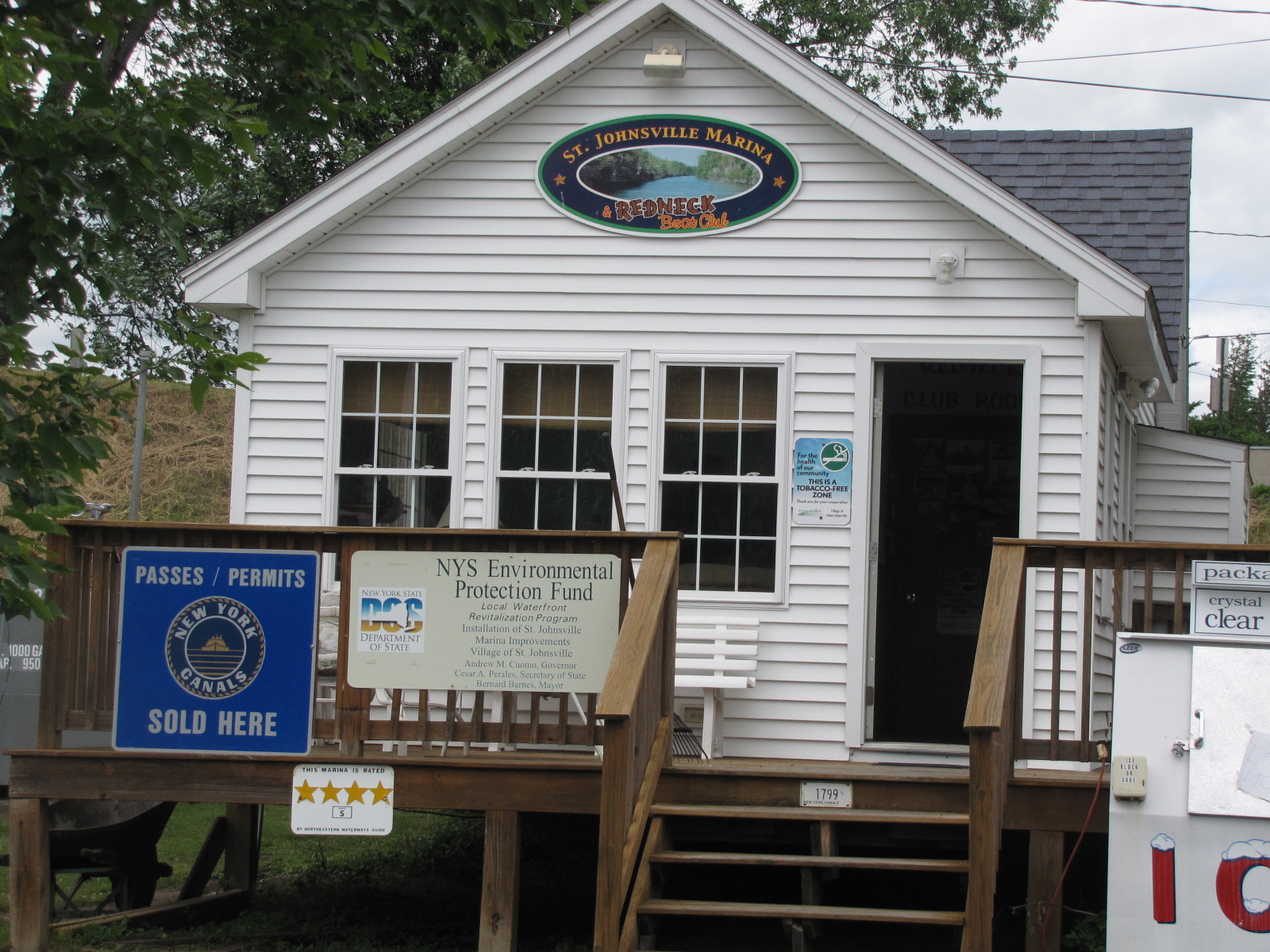
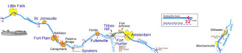
 There was supposed to be a dock at mile 69.7, but it wasn’t there, so Andy called the St. Johnsville municipal marina.




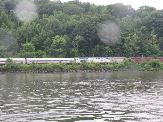

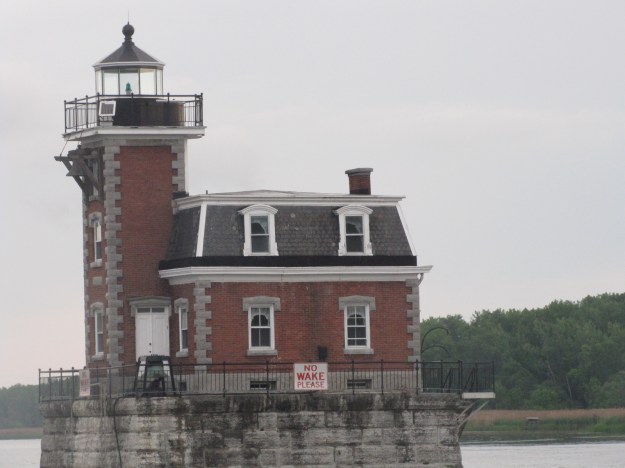


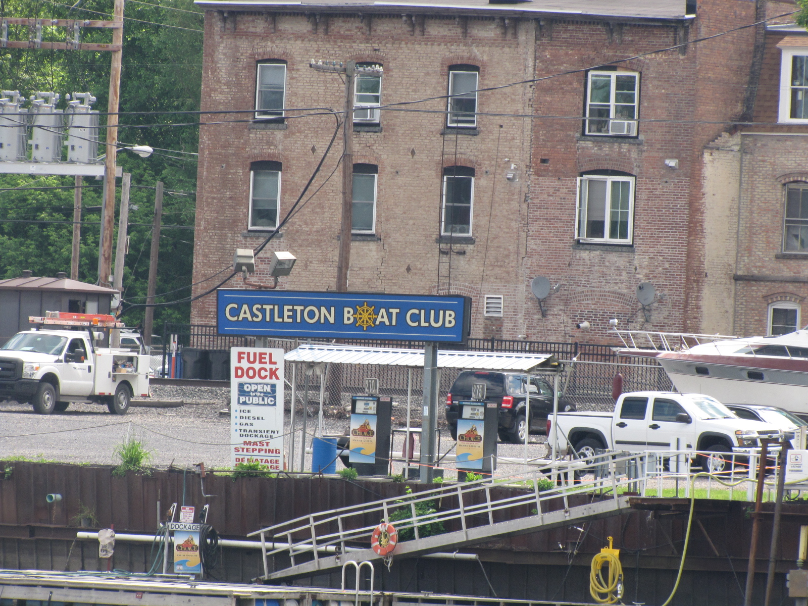

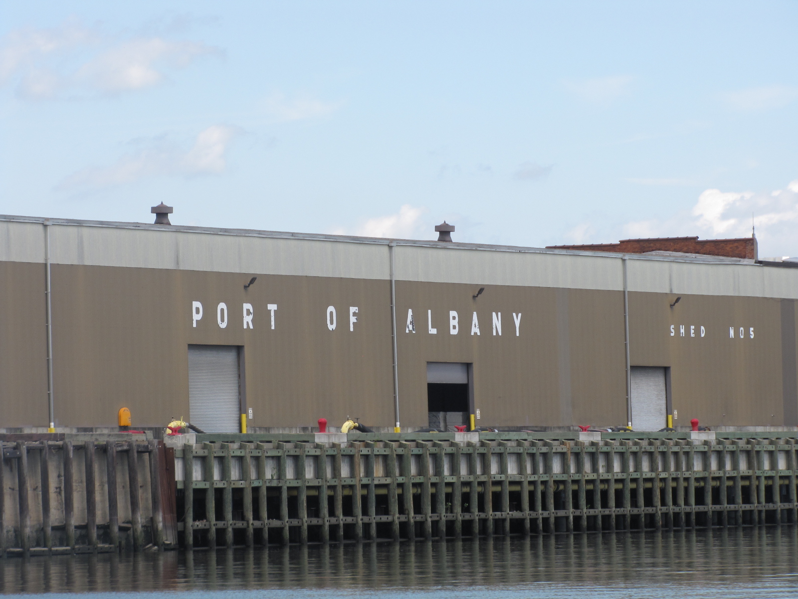






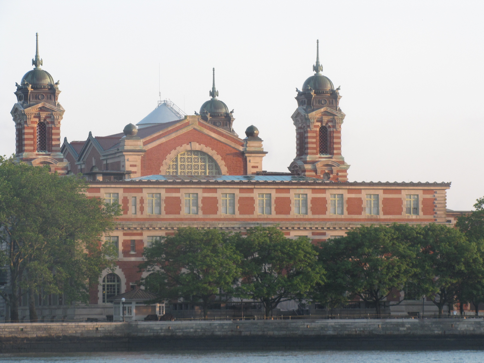
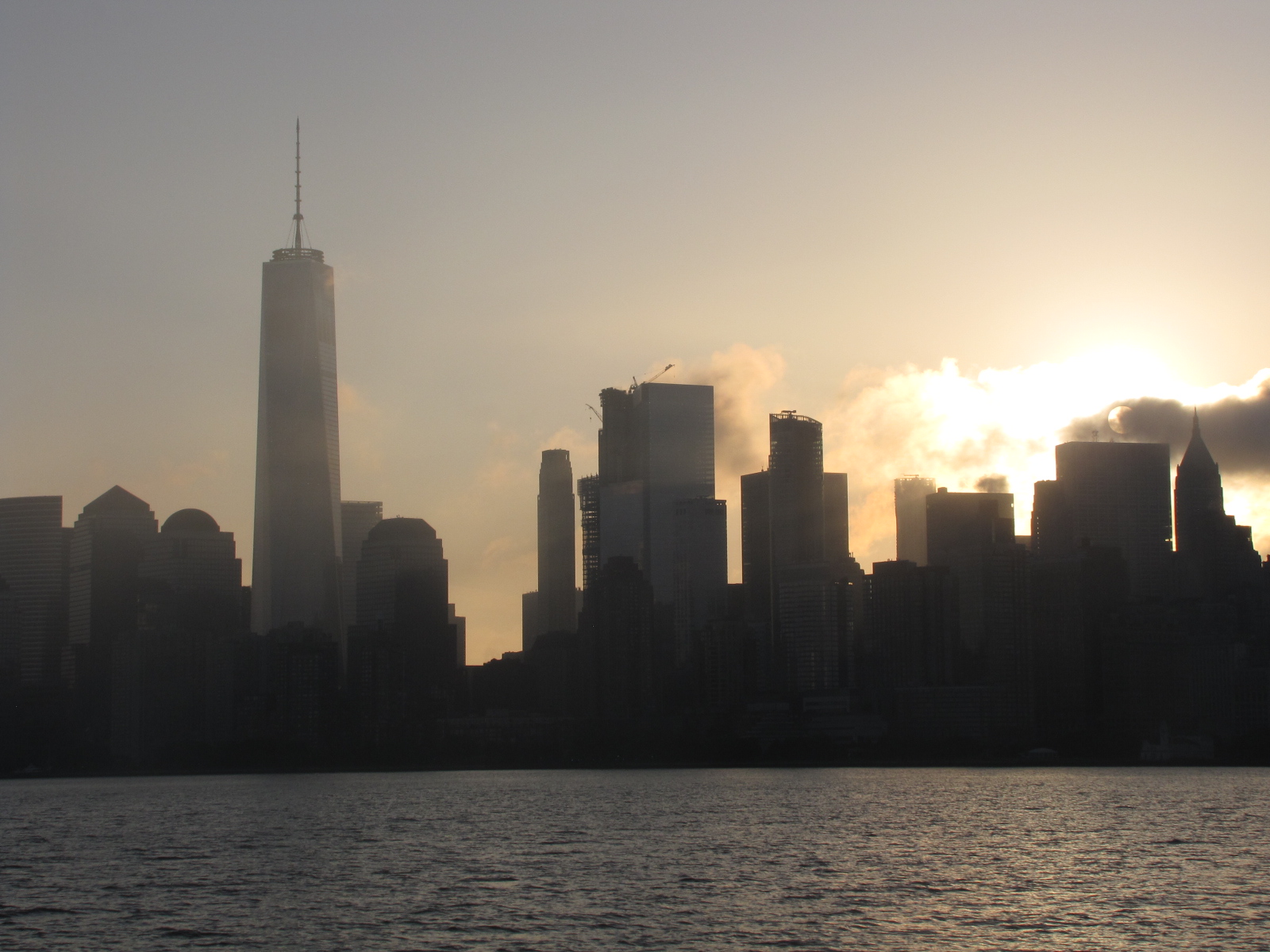
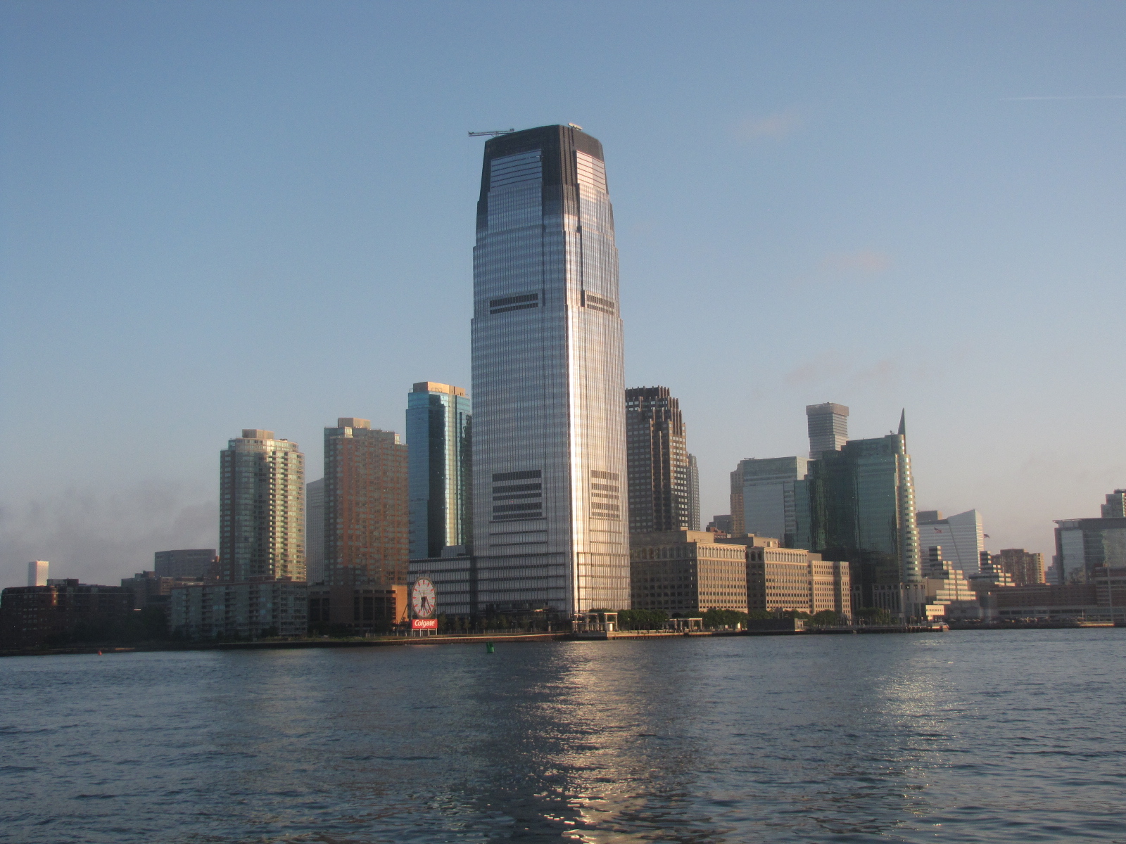
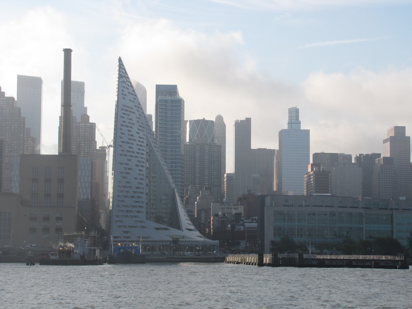
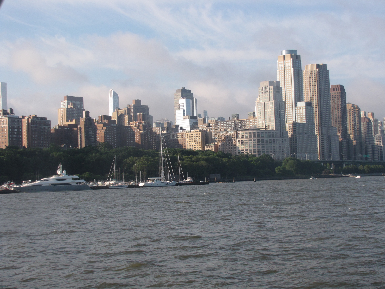

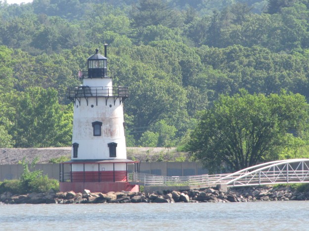
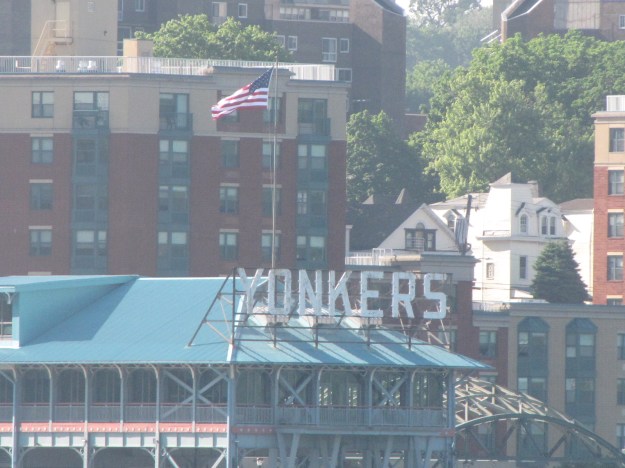 and were in Tarry Town by 9:20, where they seem to be constructing a new bridge.

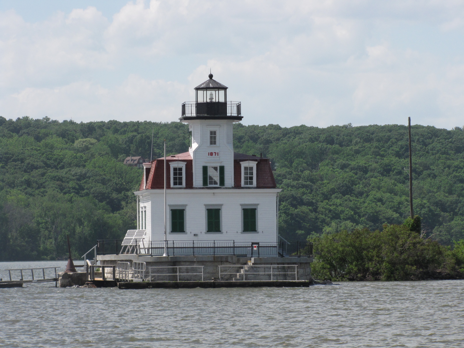
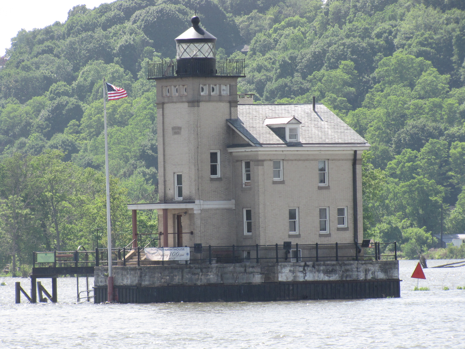
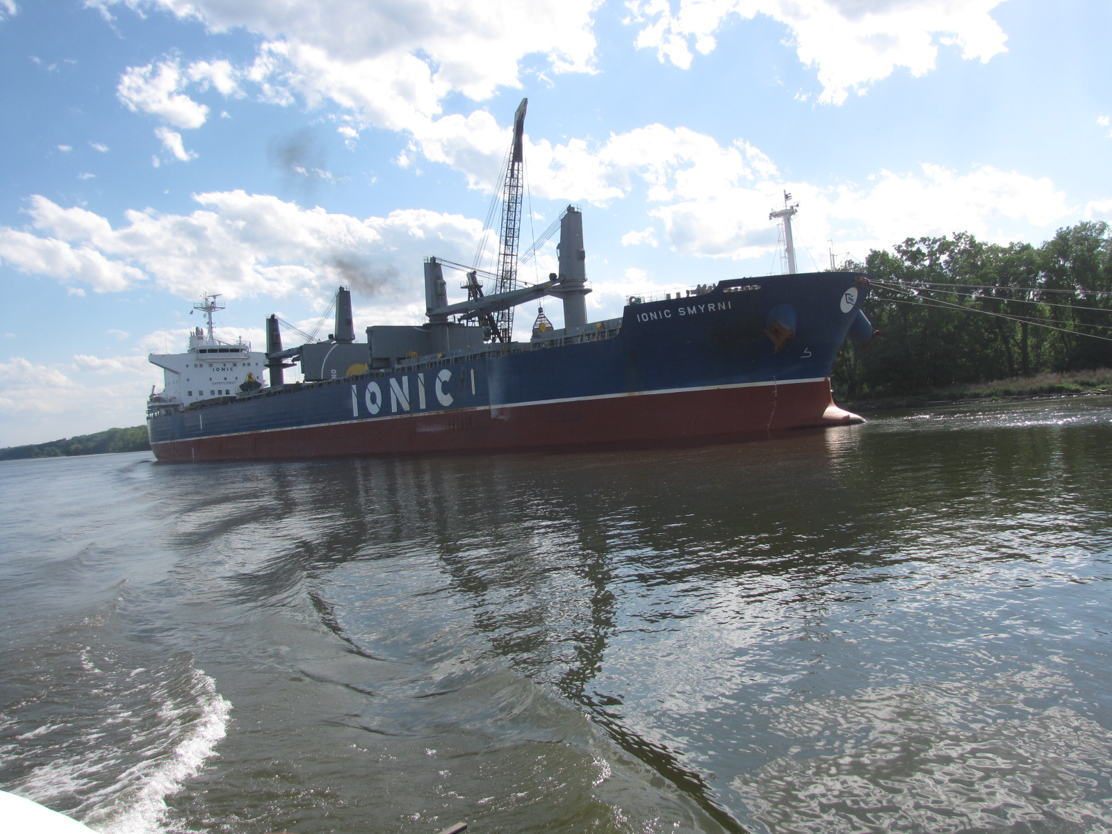


 and we entered the Manasquan River. We followed the river for about 3 miles going through two more bridge, one of which was the Breille Railway bridge.
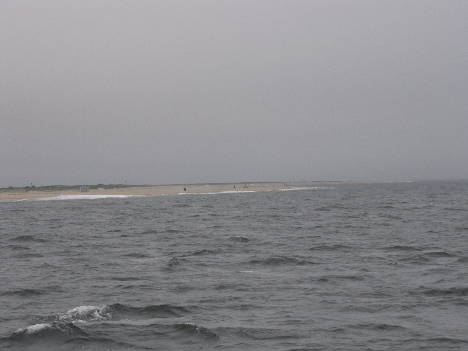
 and reached the Atlantic Ocean at 7:00.


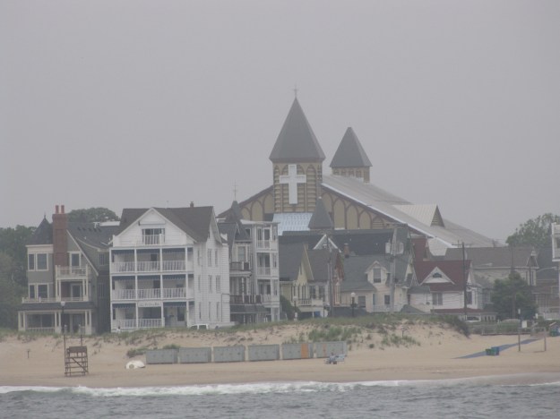 We saw a whale, but no picture, as the photographer wasn’t ready. We think this was likely a whale watching tour boat.






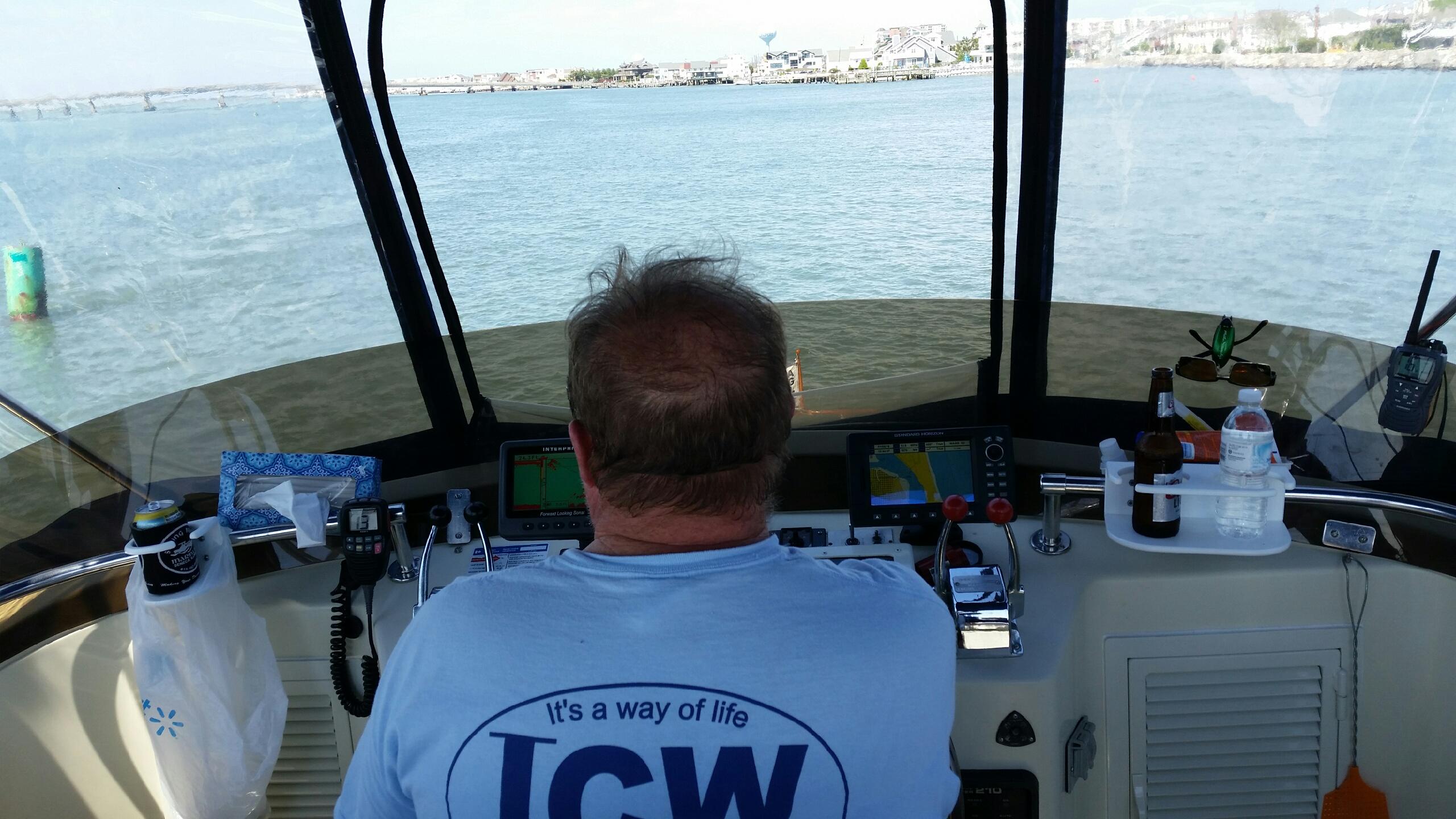
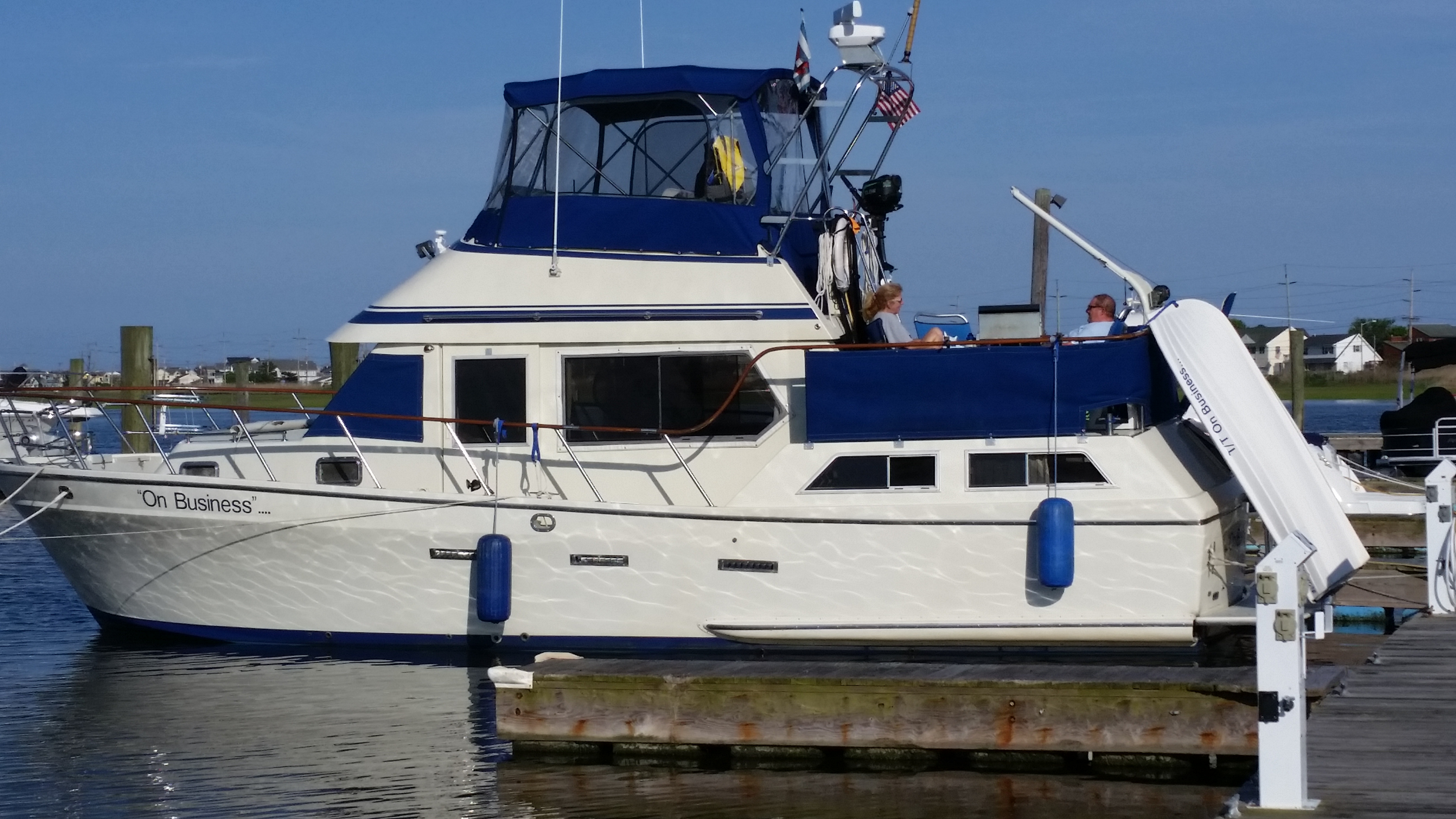

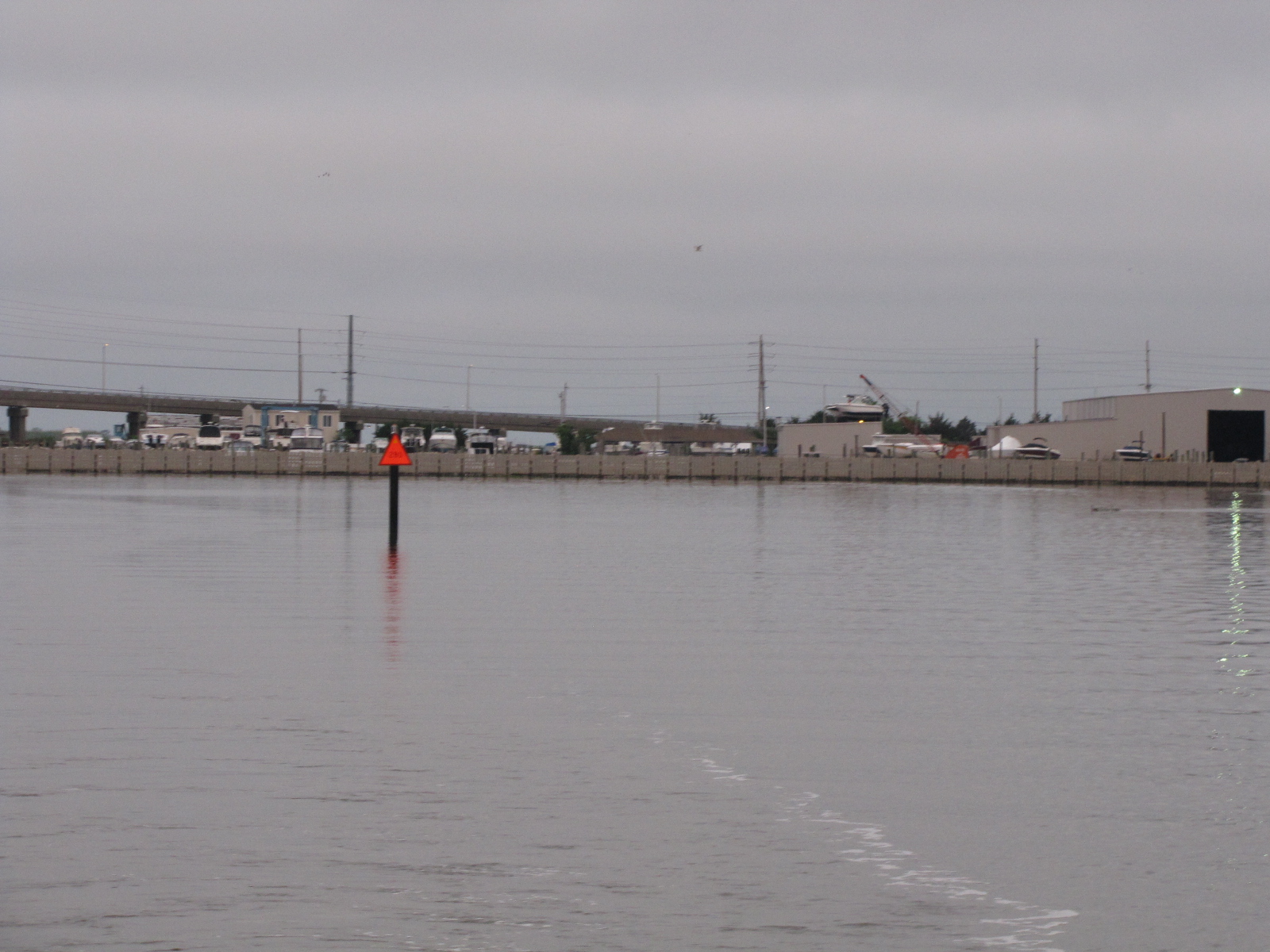


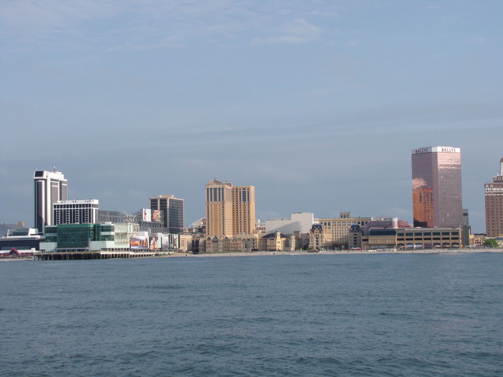


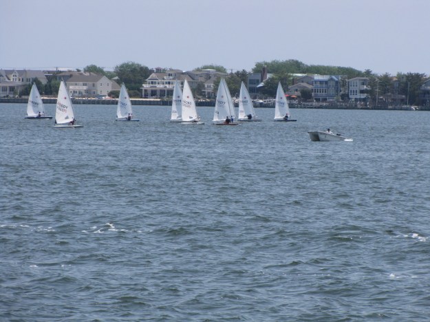
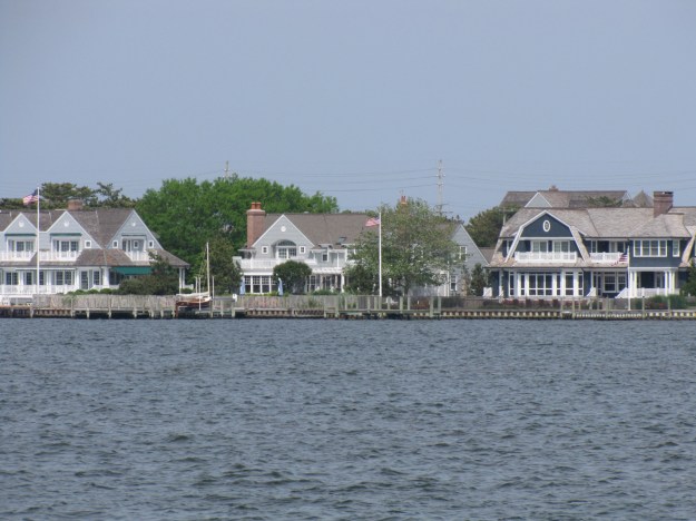
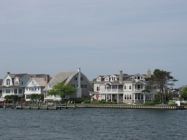
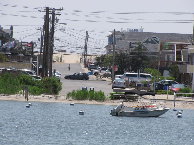
 here’s some of the houses along the ICW.


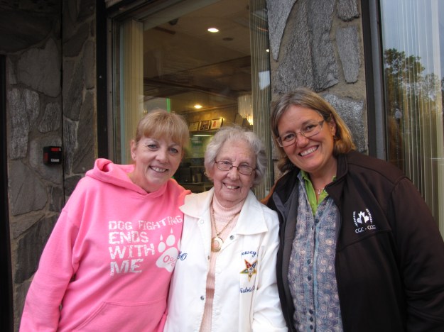
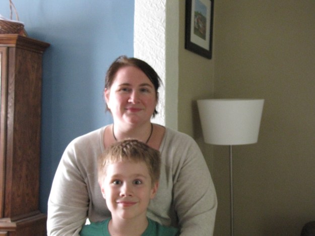 Once at home, I had a short visit with our neighbours, Dave and April.
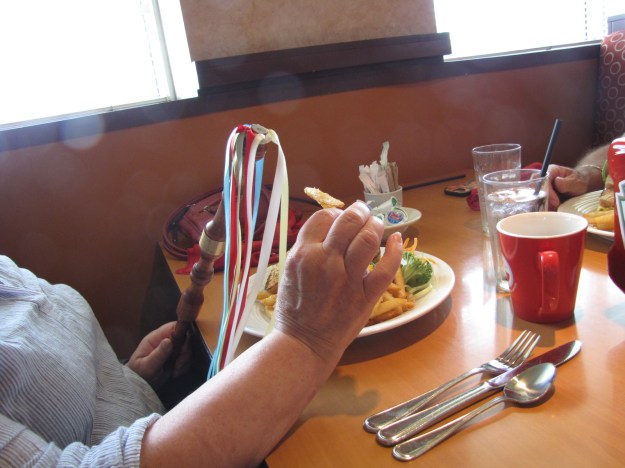
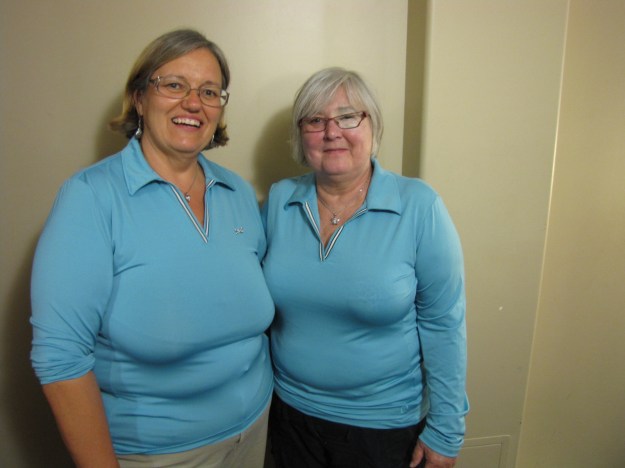
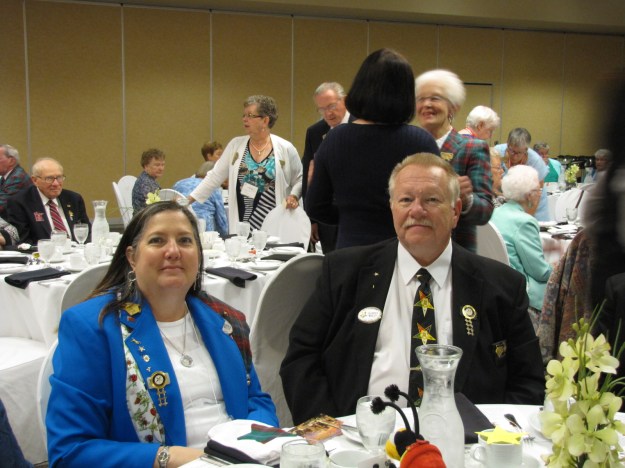



 to meet Dawn and Helen for supper.
 However today is suppose to be about 30 and remain that way for the rest of the week —hard to believe after all these days in the low double digits, I checked the Winnipeg forecast—rain and thunderstorms are predicted with highs in the 20’s. I’m use to the rain- will I be able to handle the heat?
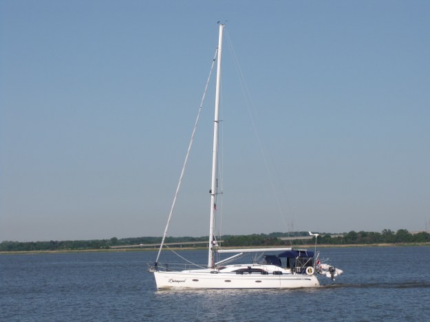
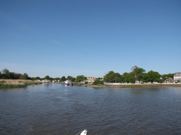 following Richard and Jo Ann on l’intemporel
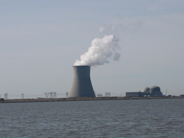
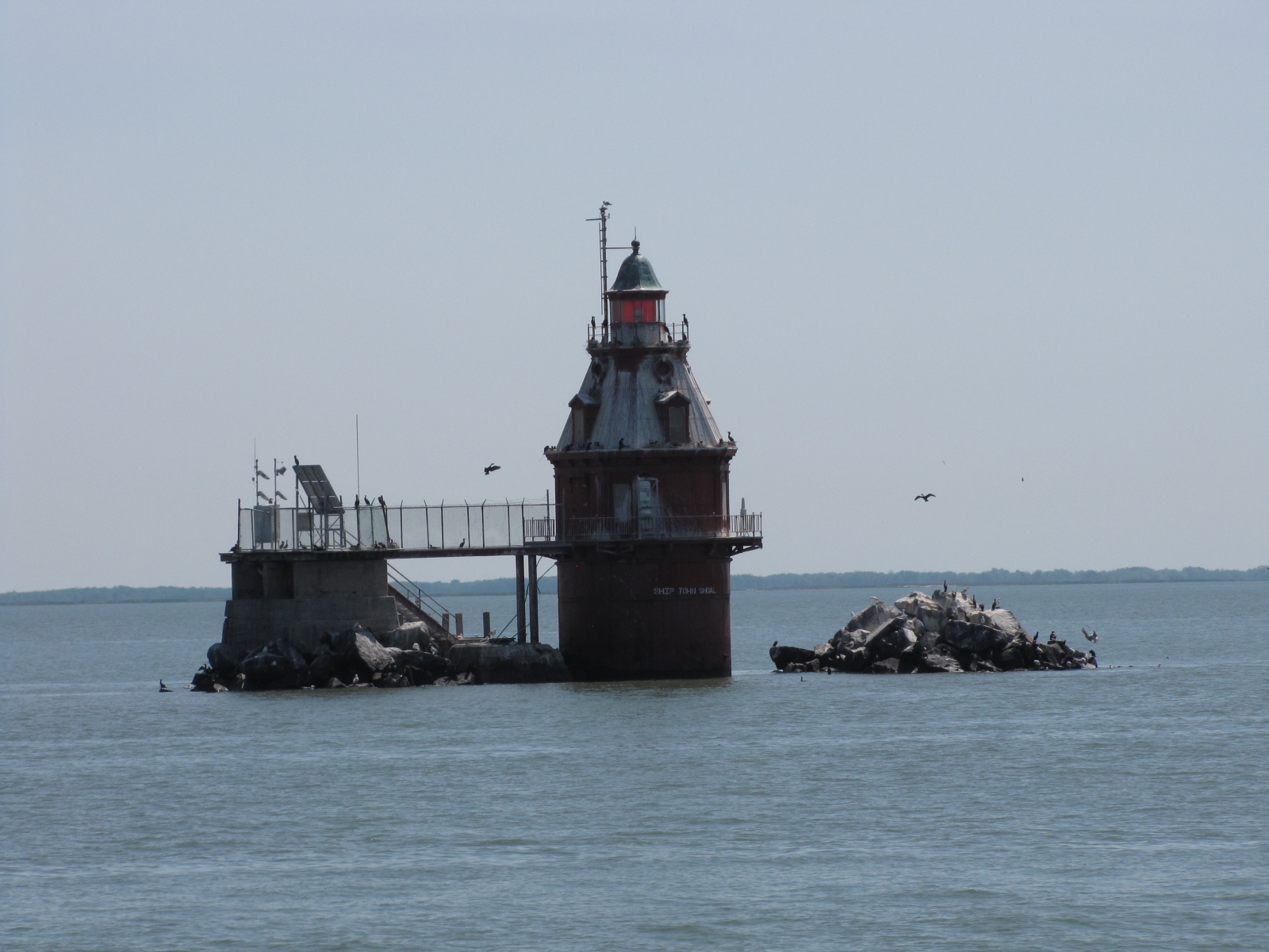

 the Cape May canal which was still about 15 miles away. We reached the inlet at 2:30, the water was starting to become a little wavy caused by the wind and change in tidal direction. There was a dredge at the mouth of the canal and the ferry boat was almost ready to depart
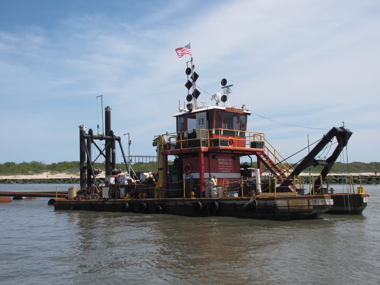
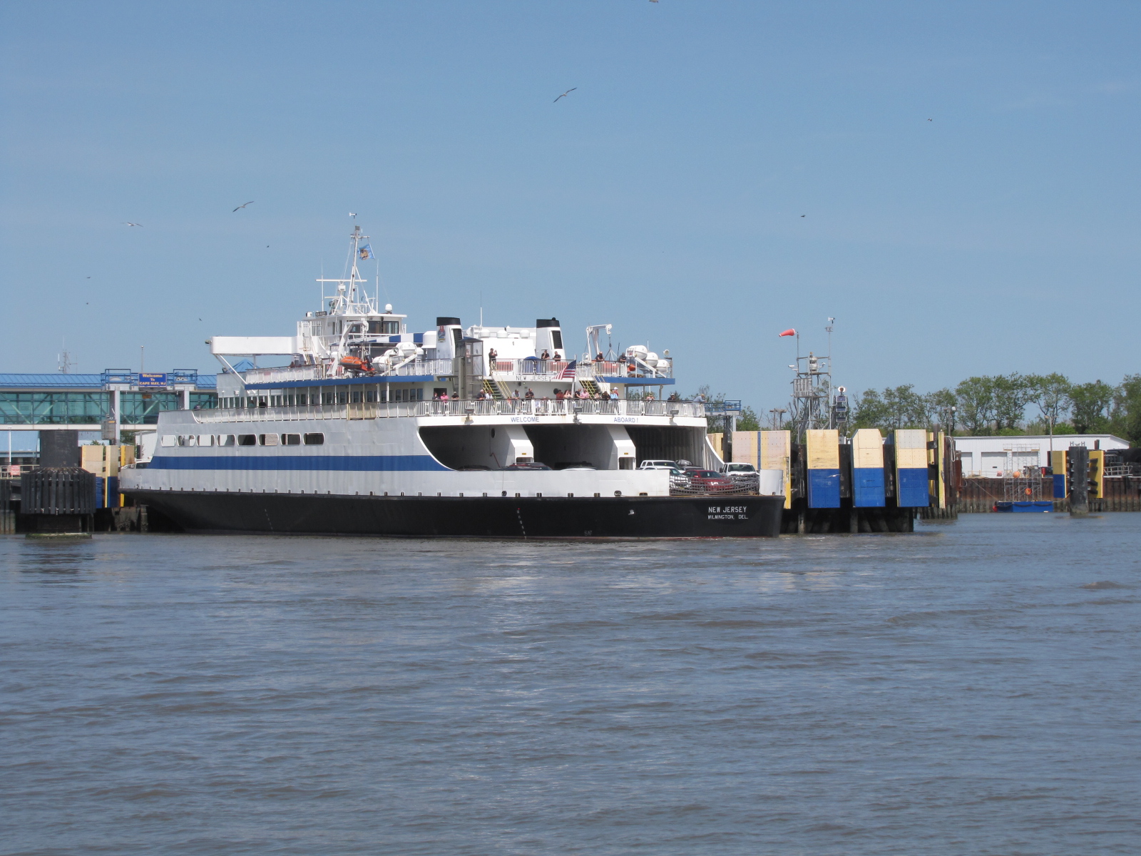
 We reached the Cape May harbour around 3:00 and anchored off the Coast Guard station.

 We reached Wildwood at 4:30 and the next inlet (Hereford) from the Atlantic, which gave us a boost in speed for a short time. We reached Stone Harbour at 5:06,
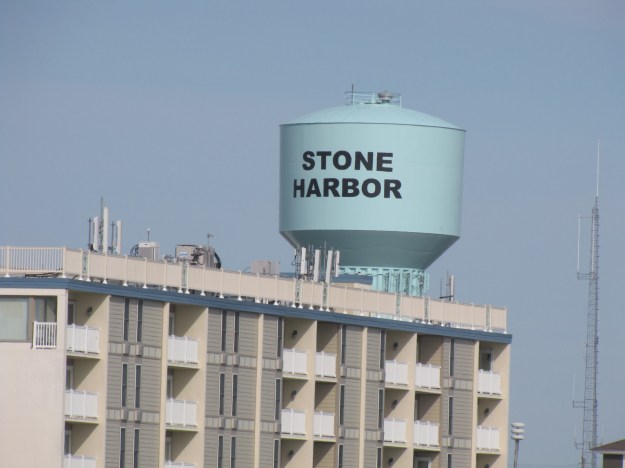 where we had originally thought we would anchor, we decided to continue on while we had the rising tidal effects. We requested the 11 foot bridge to be opened, and got through it quickly, but the bridge tender seemed to have an issue putting it back down.
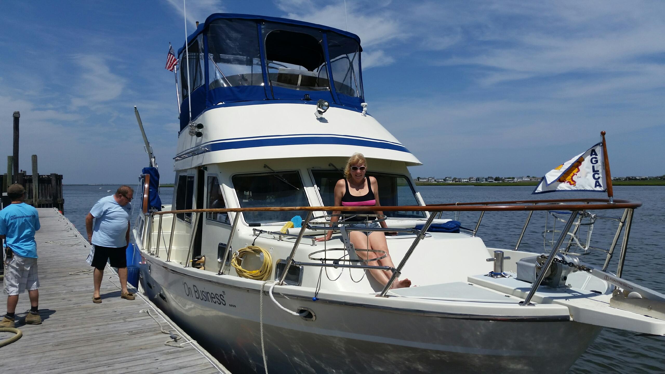
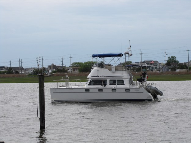
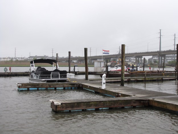
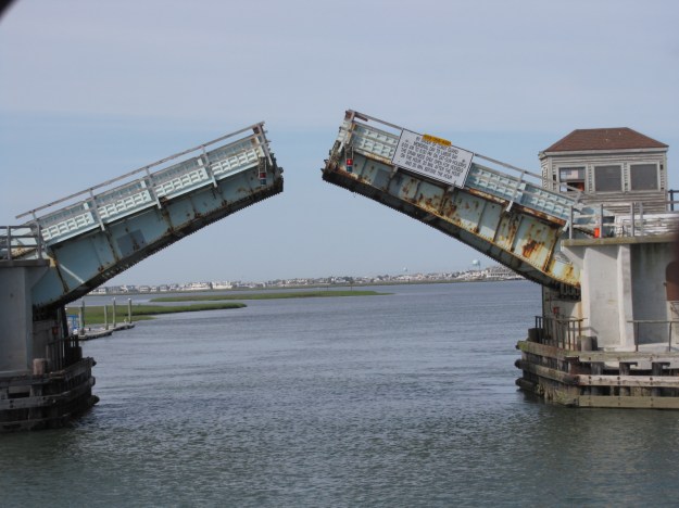 We passed through Avalon and a second inlet (Townsends) at 6:00, we went though Sea Island Bridge at 6:24 and then on to Strathmere and the Corson Inlet. We passed under the Peck Beach Bridge at 7:30 and reached All Season’s Marina in Marmora NJ on the other side. Since we were early and not expected until the morning, we tied up on the fuel dock for the night. It was not dark yet nor raining– a great day, we pushed it traveling 96 miles for the day- but we were secured before the predicted bad weather moved in.
 We went for ice cream, and then supper, watched the Belmont stakes horse race, and then had dessert.


