Author Archives: Twylla and Andy

Final days in Maryland again on the eastern shore

May 16, 2016

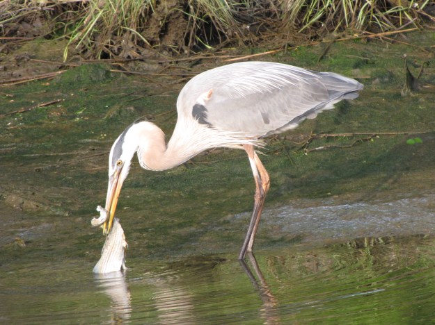
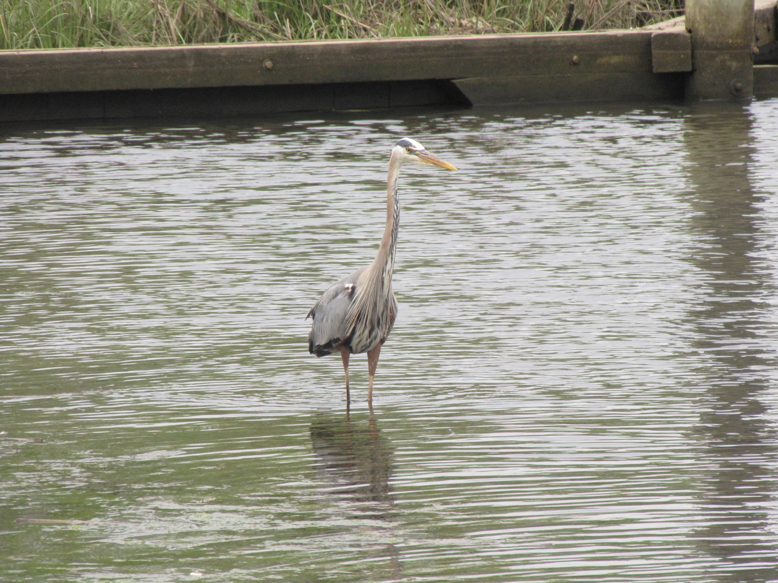
First thing this morning I saw this heron eating a fish.

IMG_6531

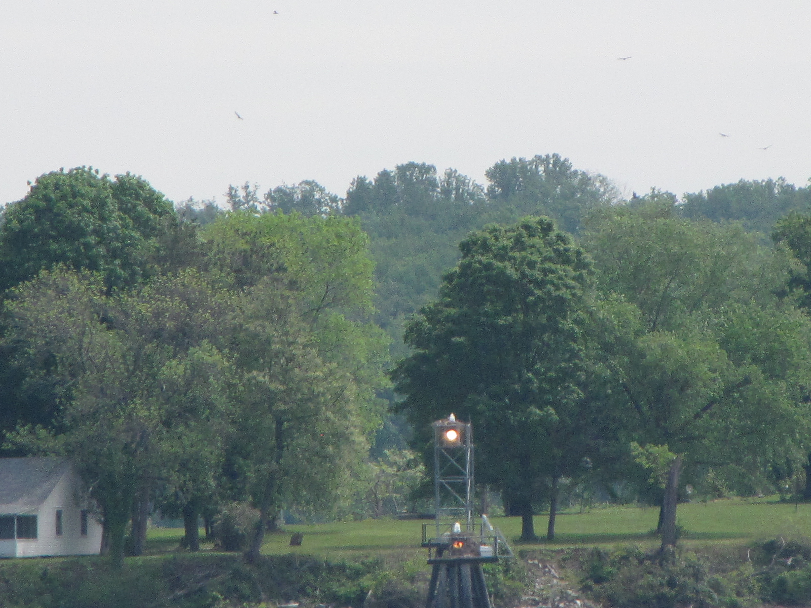
We left Herrington Harbour North at 10:20, and made our way out of Herring Bay.   IMG_6533  We were hailed by Cat Daddy shortly after 11:00 he was behind us and had spent the night at Herrington Harbour South. Andy and Rafe chatted- we will cross paths again.  There was a small craft advisory out for most of the Chesapeake with 2 foot waves and winds gusting to 20 kts.  It didn’t seem that bad out on the bay and it wasn’t raining.  We reached the Thomas Point shoal light at 12:04,

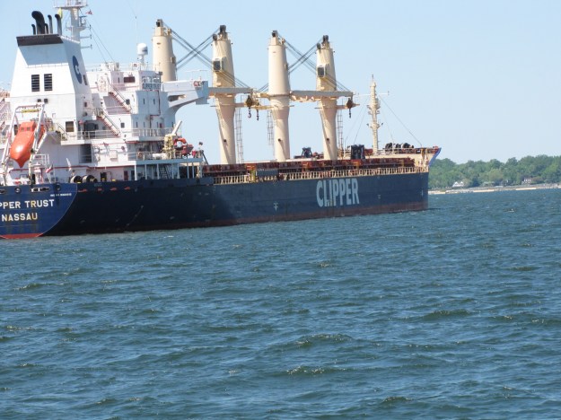
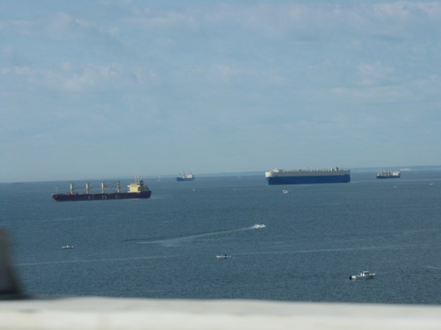
IMG_6535 there were several large ships anchored out between the light and Bay Bridge.

IMG_6536IMG_6549

We crossed under Bay Bridge around 13:00 and headed  north-east towards Swan Creek.  We entered  the channel into Rock Hall Harbour and tied up to the dock at 14:30, having gone about 30 nautical miles for the day.

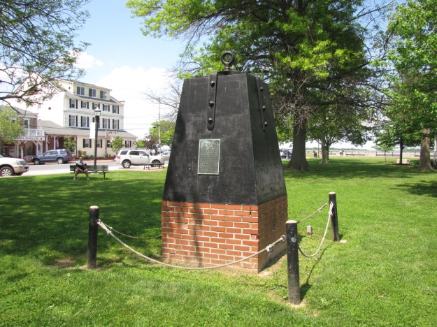
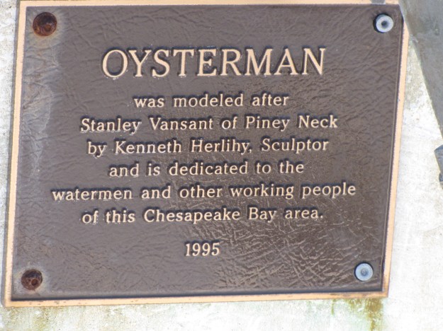
IMG_6559 Near the boat was this oysterman monument.

IMG_6556

IMG_6555

We went exploring and found Waterman’s Crab house and stopped for a beer and Maryland crab soup, afterwards we got directions to  down town and walked the 1.5 miles to get there, but none of the stores, including the ice cream store were open,  I did find this free library box and took a book, as you can never have too much reading material on the boat.

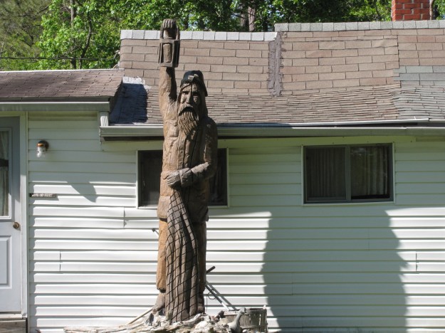
IMG_6560 On our trek back to the boat I saw this statue in front of someone’s house.

IMG_6563

In the evening we went back to Waterman’s Crab house and shared  the steamed crab pot which consisted of   4 large  crab, 12 mussels, 12 clams,   1 lb of shrimp, 2 potatoes and a cob of corn.  It took us well over 1½ hours to dissect the crabs and eat it all.  It was a little messy!  We met a couple from York  PA (Dave and Cindy) at the next table and told them all about our Loop adventure to date.  Following dinner, they came over to the boat to visit some more.

IMG_6565  We went to bed and the boat was rocking against the dock, during the night the wind changed and the tide started coming in and the rocking/banging increased.  This made sleep impossible so  between 2:30 and 4:00, we  tried moving the fenders and securing the boat with additional lines to decrease the banging. (Elaine: not quite as bad as Pahokee in February, but almost). Once we hit high tide at 4:30, it seemed to be a little better.  This was a free dock and it likely would have been ok if there hadn’t been wind–   It was a Sleepless night in Rock Hall!


May 17, 2016

We left the dock at 8:10 and headed back out to Chesapeake Bay, winds were light, but it was overcast.

We had likely only gone about 30 minutes when the predictable happened—it started to rain.

IMG_6567

We proceeded north, saw a couple of barges doing some dredging and met one barge  with gravel and the rain continued.

IMG_6568

We entered the Sassafras River and anchored near Knight Island at 1:15

IMG_6573having gone a total of 34 NM for the day.  We’re still about 20 miles away from the C&D (Chesapeake & Delaware) Canal  which will take us into Delaware Bay and closer to  the Atlantic Ocean.  .  It’s now 8 p.m. and I finally see the sun, as it is going down. It going to be  an early night, to catch up on the lack of sleep.

Learning about the history of the Chesapeake Bay seafood industry

May 14

We left shortly after 8 and headed back up towards Annapolis, we took the Solomons Island Road for  the trip, so as to see some different country from yesterday.  The sky was blue, with hardly a cloud in the sky.    We reached the Chesapeake Bay Bridge around 9:30 and paid the IMG_6411toll to use it.

The Baybridge is a 4.3 mile span that connects the eastern and western shore.  It was originally opened in 1952, and a second span was added in 1973.

IMG_6413

There were a number of boats out on the bay.

IMG_6416

On the  eastern shore we went through Kent Island continue to the town of Easton and then turned  west  and went another 9 miles to St. Michaels.  We arrived at the Chesapeake Bay Maritime Museum at 1030.  http://cbmm.org

IMG_6425

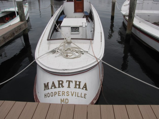
Our first stop was the boat building yard, where a group of staff along with volunteers are building a  hooper island draketale, similar to this Martha boat, making one piece at a time.

IMG_6427

IMG_6480 They started the boat in January and hope to have it completed by early August.  Another exciting project at the museum is the restoration of the  Edna E. Lockwood which is an example of a Chesapeake Bay nine-log bugeye, which was used for oyster harvesting.

IMG_6437

IMG_6436

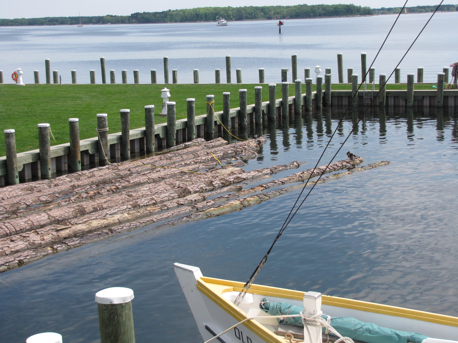
This will be a 3 year project and the logs which will form the base came from North Carolina and are currently soaking in the bay.

IMG_6454

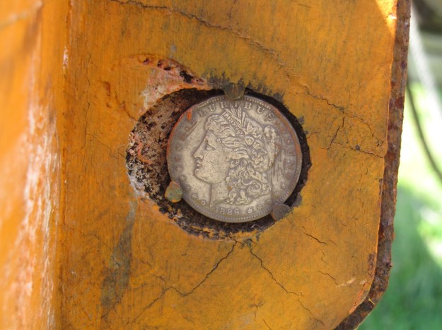
The Edna Lockwood was built in 1889, and the proof is the silver coin attached to her mast- we were told that this is a practice of shipwrights  to date the boats.   Once the restoration in complete in 2018, a silver dollar will also be added to the mast.

IMG_6438

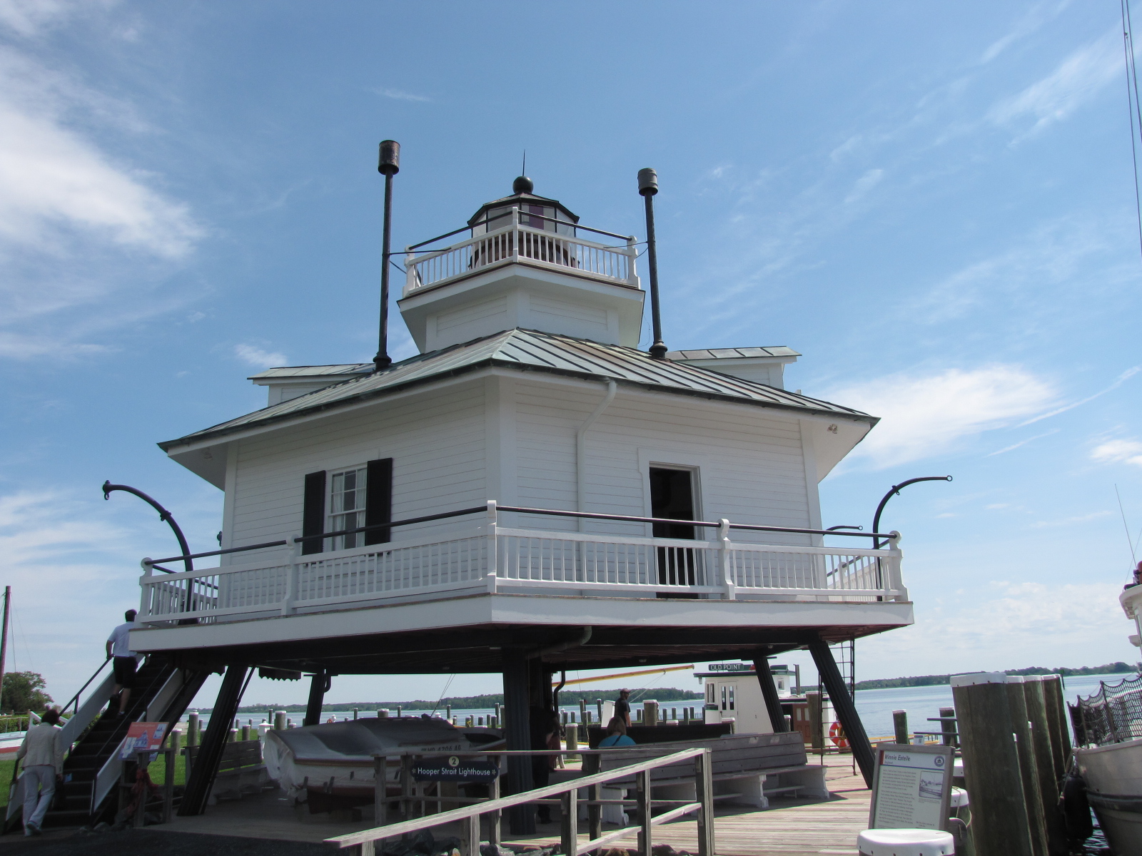
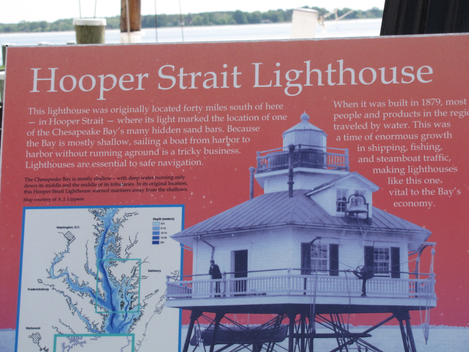
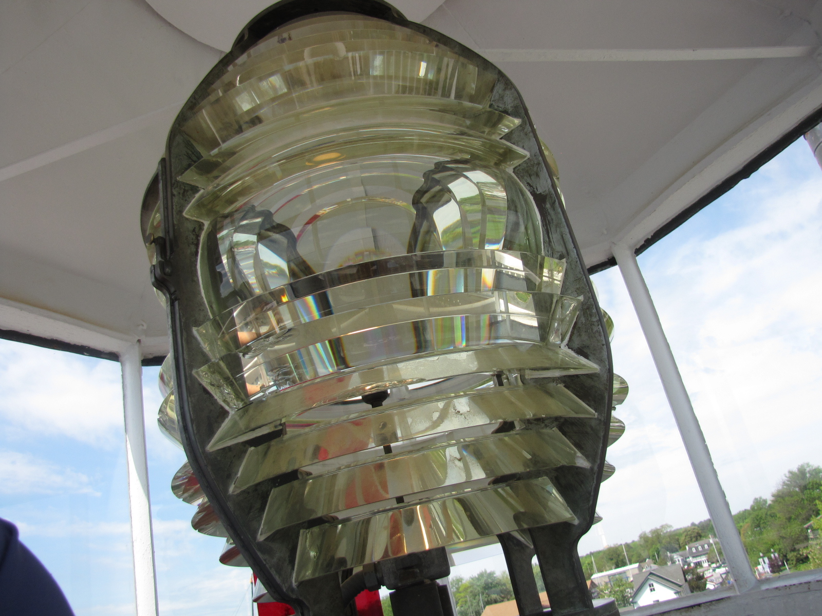
Other areas at the museum included the hooper strait lighthouse, which was somewhat of a similar design to the lighthouse I had toured in Edenton NC. But at this museum I was able to wander through the entire lighthouse.  Here’s the actual light in the tower

IMG_6444 IMG_6446 IMG_6451


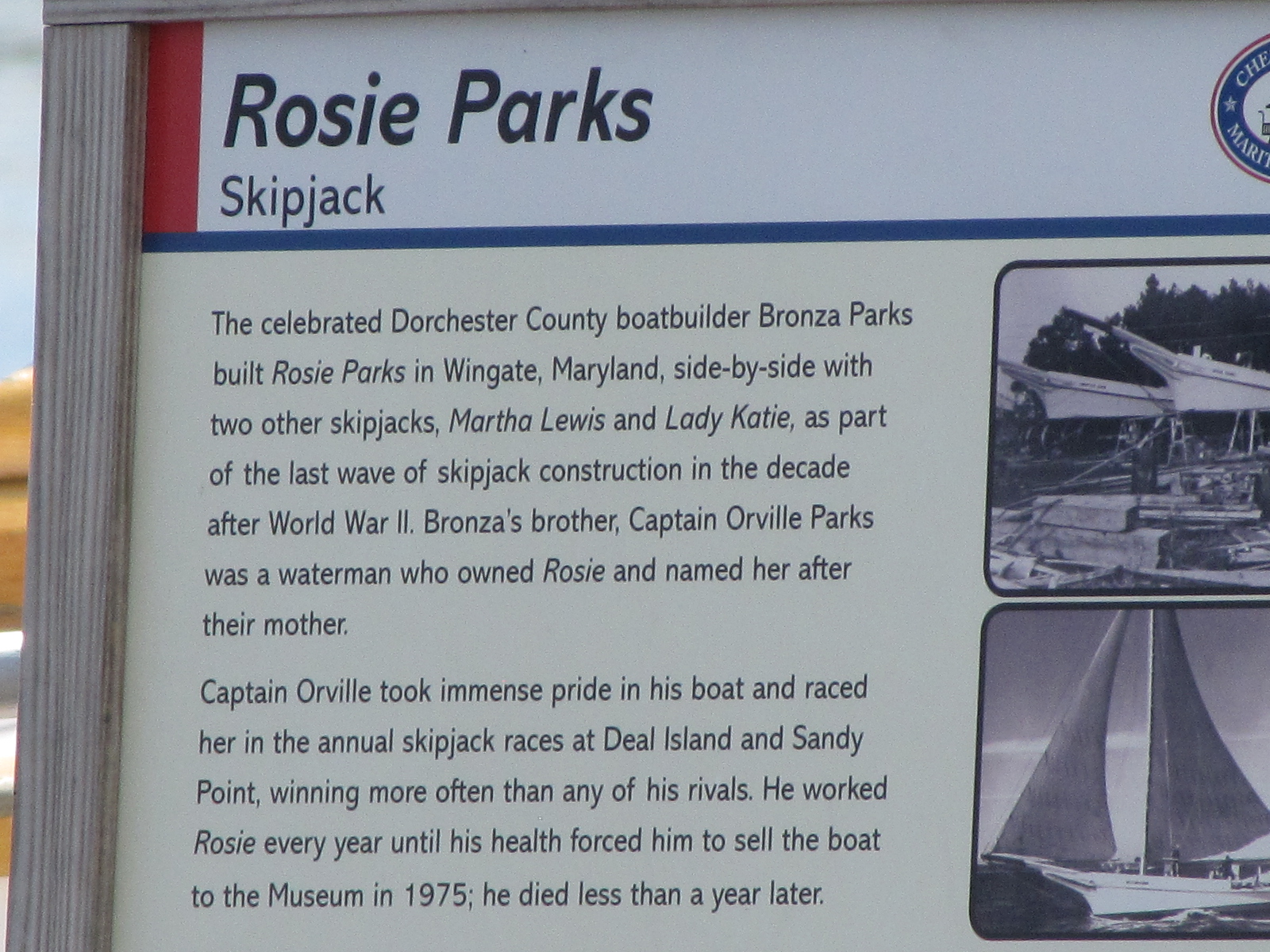
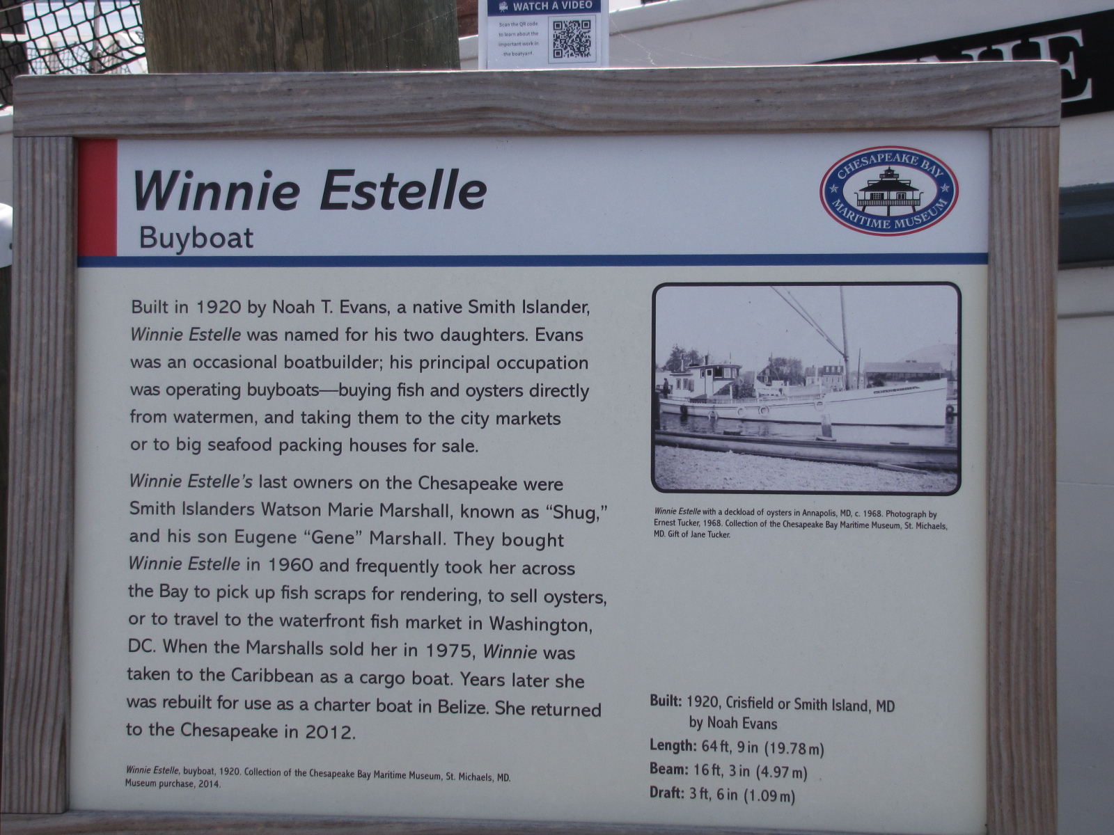
There were also a number of other types of boats, which were designed for a specific purpose or type of fishing.—here’s some information on them.IMG_6441 IMG_6442 IMG_6459

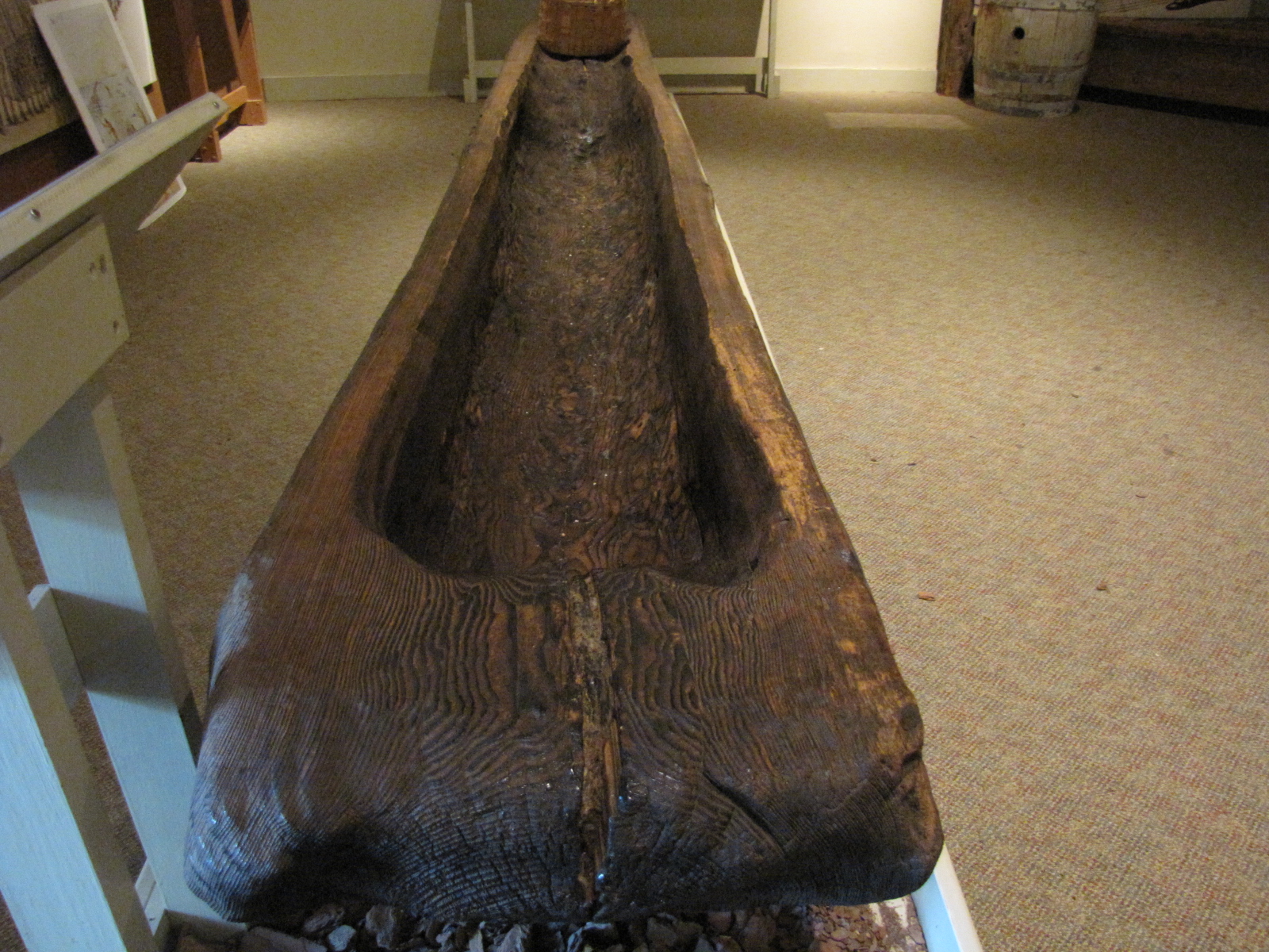
there were also primitive boats made from a single tree.

IMG_6497

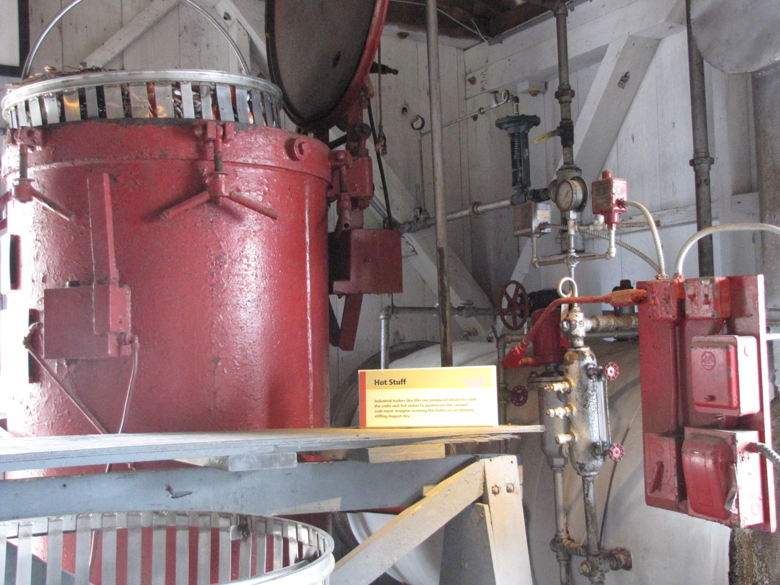
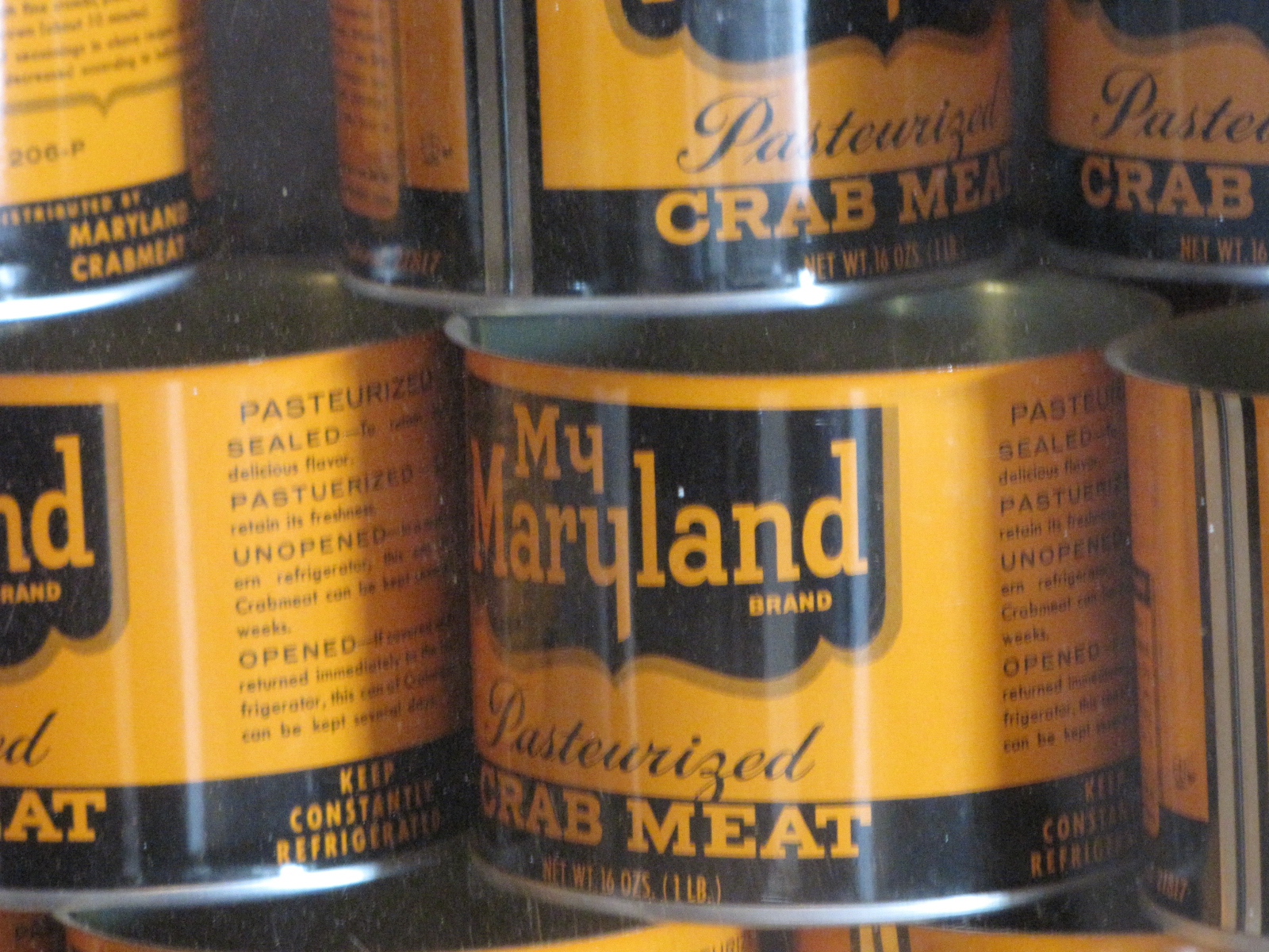
There was also  a replica of a  crab picking plant, and a display of all the different Oyster  and crab cans.  IMG_6472 IMG_6475 IMG_6491


I also finally saw a live Blue Crab.

IMG_6484

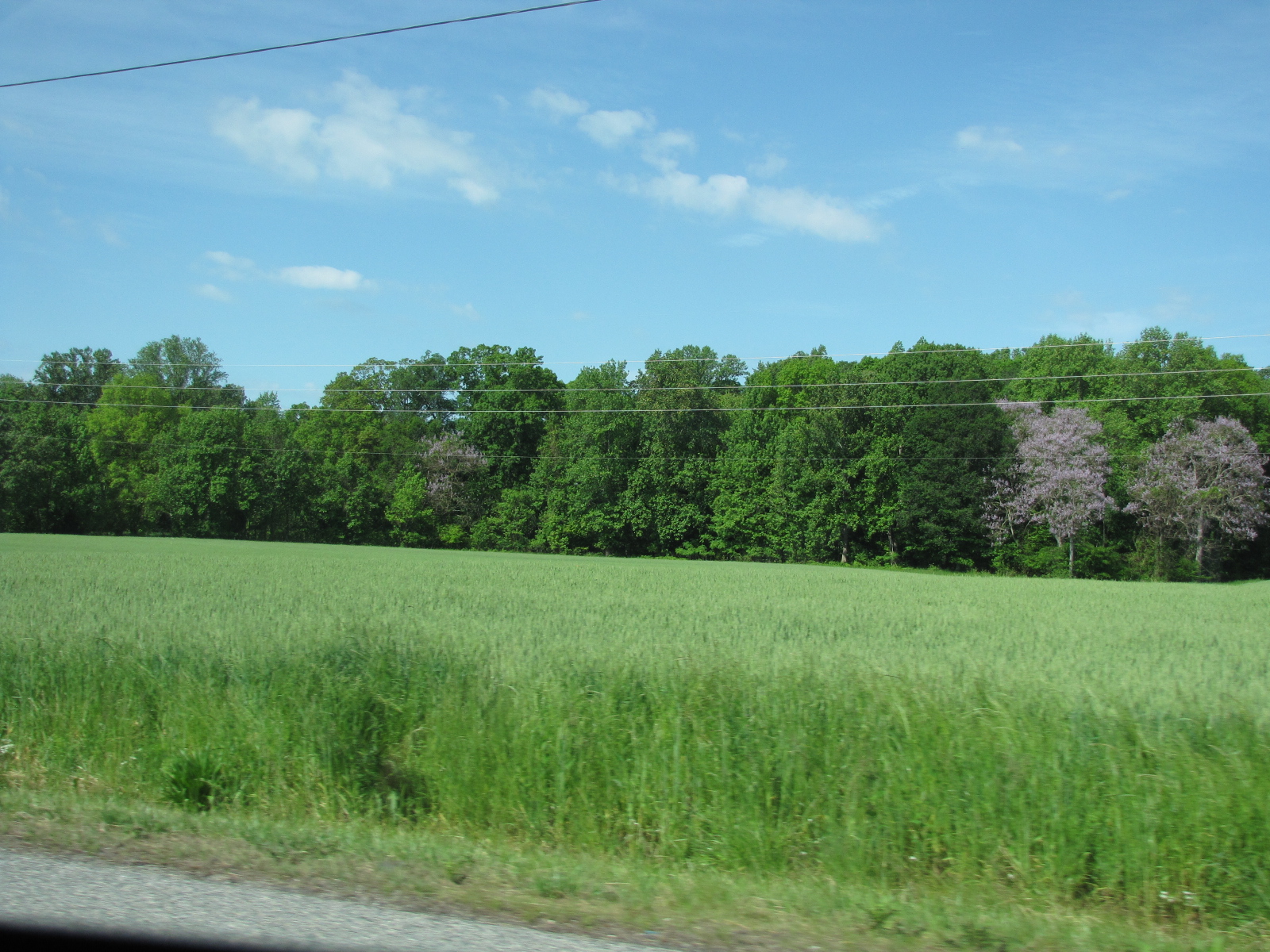
On the way home we passed both a wheat and canola field, already in bloom.

IMG_6422

We also stopped at an Outlet mall.  Before we reached the Bay bridge- they skies opened and we had our daily shower.

IMG_6504

It was a very informative day, back at the boat there were some ominous clouds, and the winds picked up throughout the evening.

IMG_6506

May 15

Sunday was a  quiet day, we drove to Prince Frederick to shop on the way home we found this street.

IMG_6508

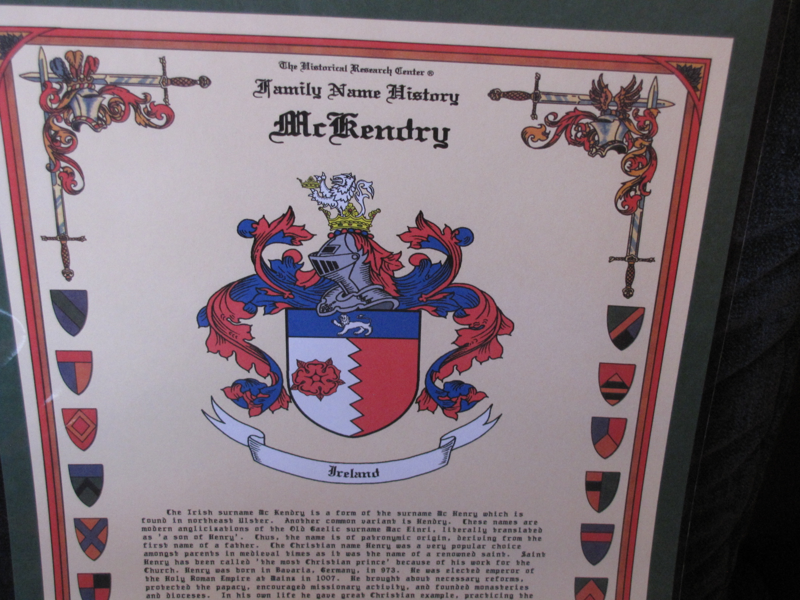
which reminded me we also bought the McKendry  history  in an Irish store in Annapolis.

IMG_6409

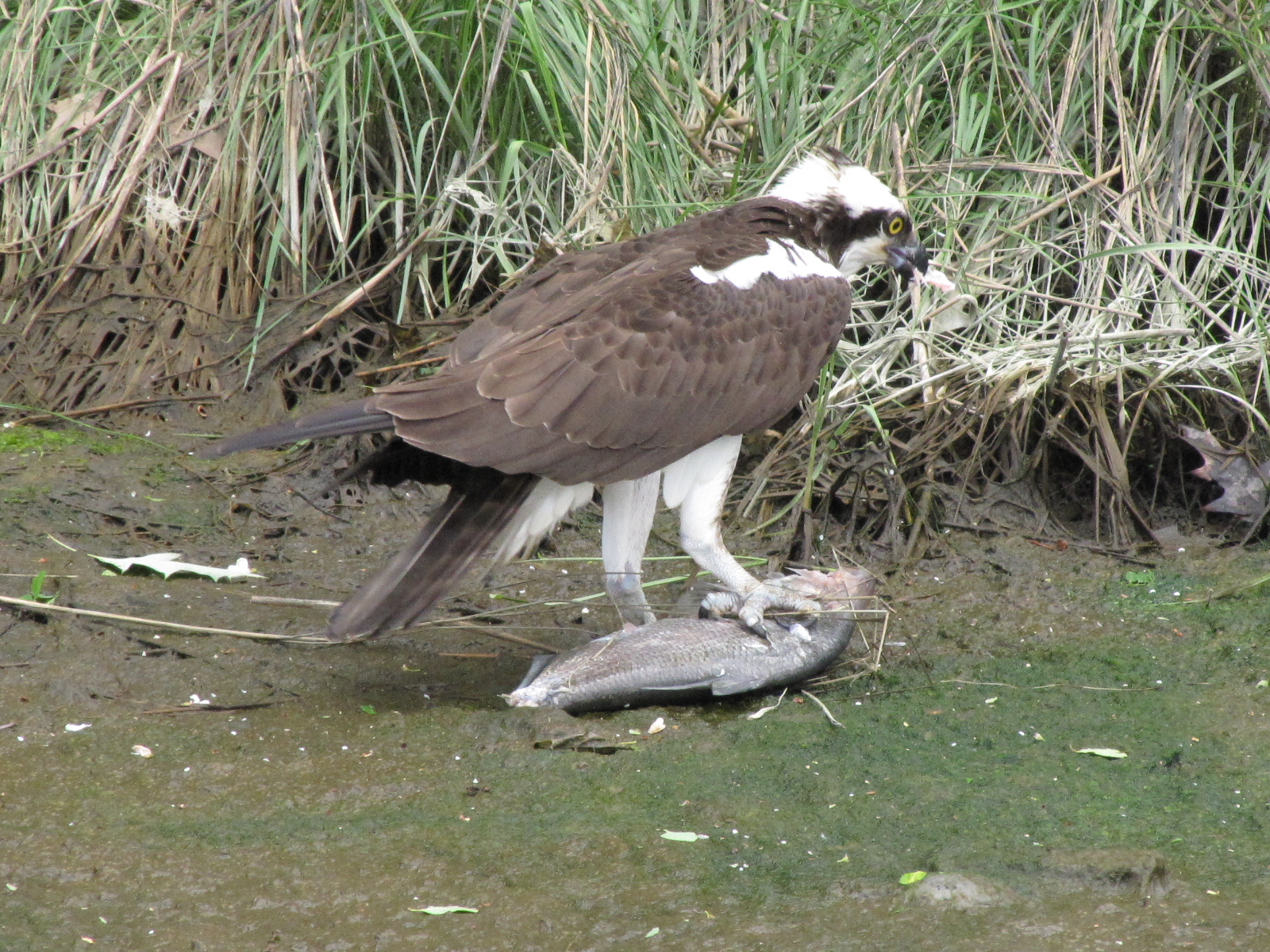
When we got back we  watched an Osprey catch a fish and eat it outside of our boat on the shore.

IMG_6525

The plan is to leave sometime in the morning and continue our trek northward.

In Herrington Harbour until the weather improves

IMG_6329

May 10 thru 13

We continue to have cool rainy weather here in Maryland.  A record has been set with 15 continuous days with precipitation in  parts of the state—not the best weather for travelling and sightseeing.  We waited around most of Tuesday for the delivery of the oil switch—in the late afternoon we learned that the UPS guy had been in the area around 12:15- but didn’t have the correct address.  Andy’s phone number was on the shipping label but he didn’t think to call us.  So, no part Tuesday.  On Wednesday we finally got the part at noon.  Andy called the mechanic however he wasn’t able to make it to our boat until later in the day.  Andy was able to replace it on his own, and then proceeded to change the oil in the starboard engine.

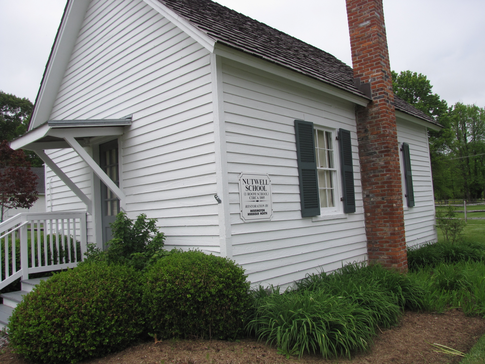
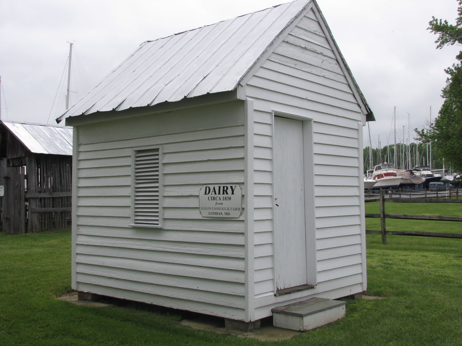
On Thursday the plan had been to leave Herrington Harbour, however we were fogged in.  The rainy weather was to continue, so we decided to stay at this marina until after the weekend. We rented a car so we could drive to a couple of the places we had hoped to see by boat.  In the afternoon we walked around the marina and checked out the historic village.


IMG_6318

IMG_6323

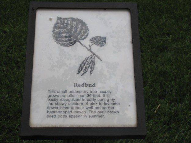
These are the trees with the bright purple/pink  flowers that I admired in South Carolina

IMG_6320 IMG_6321 IMG_6322

IMG_6335


IMG_6325 IMG_6326 IMG_6327 IMG_6328

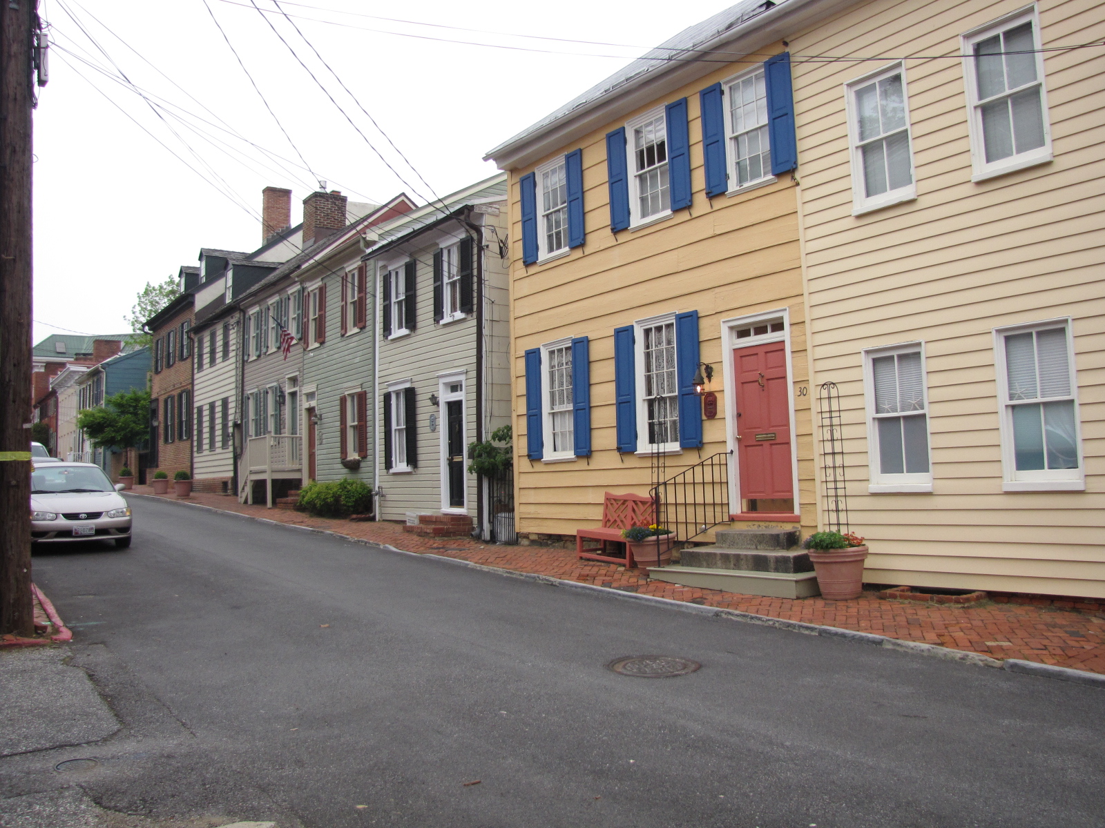
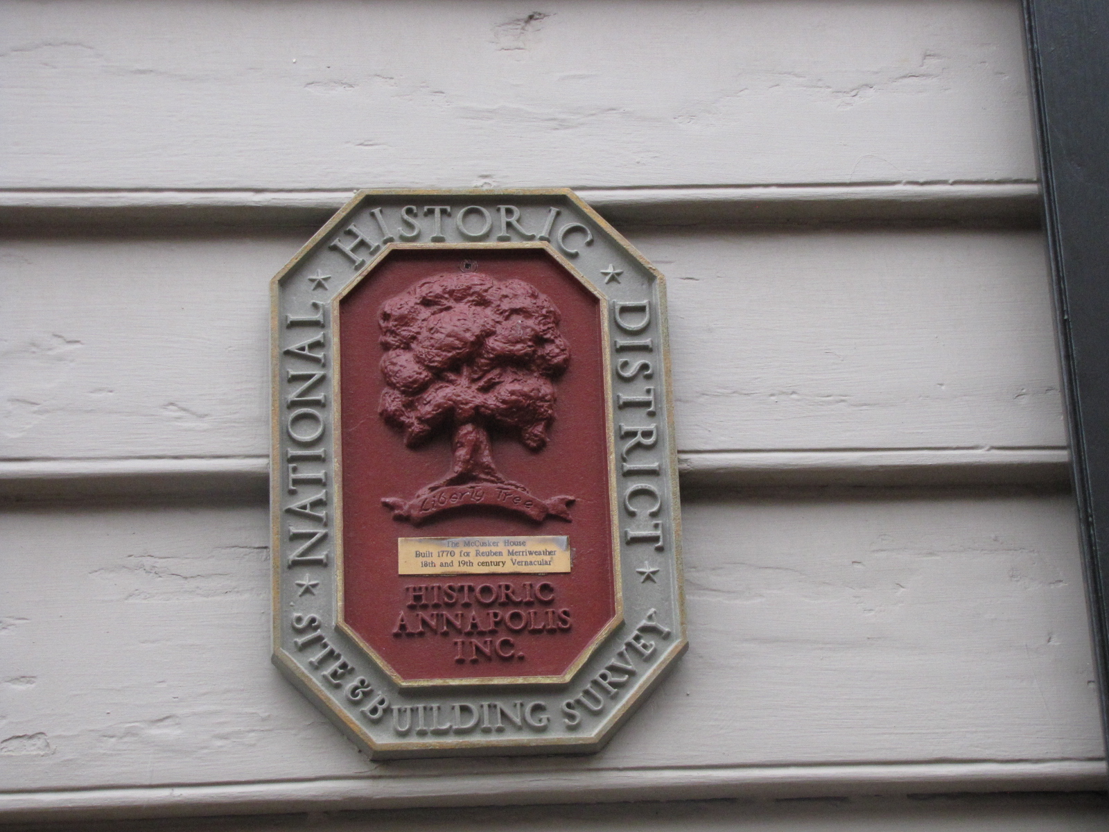
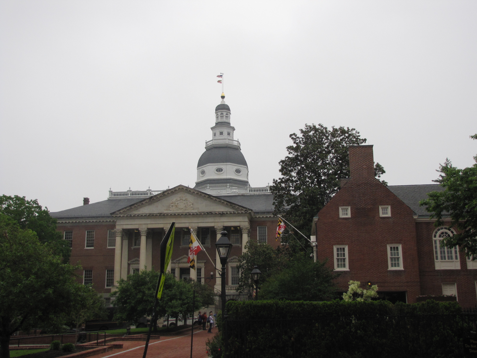
On Friday after getting the car we drove to Annapolis.  We went on a 2.5 hour walking tour of the State Capital and some of the historic buildings in town in the rain.

IMG_6336 IMG_6337

IMG_6345

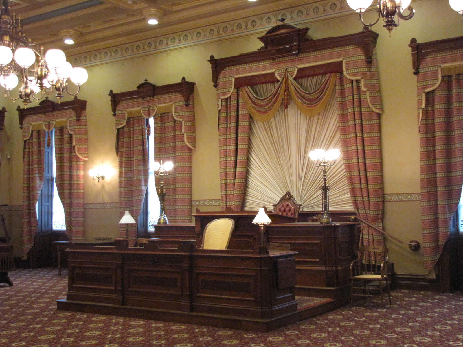
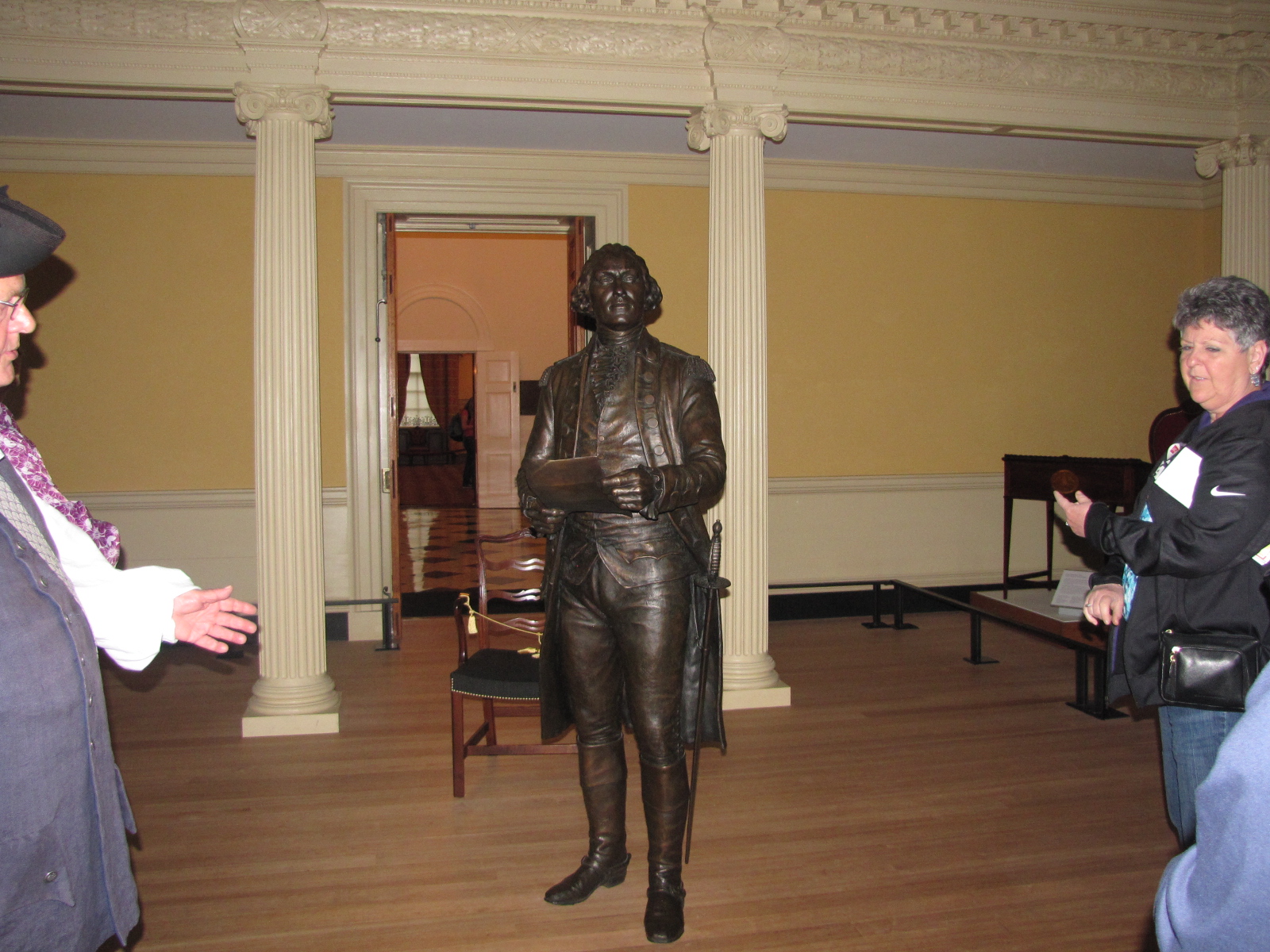
It including going into the state capital building and seeing where Washington resigned as commander-in-chief.

IMG_6347 IMG_6357 IMG_6358 IMG_6361

We also went to the United States Naval Academy, located on the banks of the Severn River which was founded in 1845.  This facility trains 4000 plus midshipmen to become officers in the US Navy and marine corps.   IMG_6364

IMG_6393IMG_6368 IMG_6369

The residence for these young men and women is called Bancroft Hall.

IMG_6394

IMG_6395

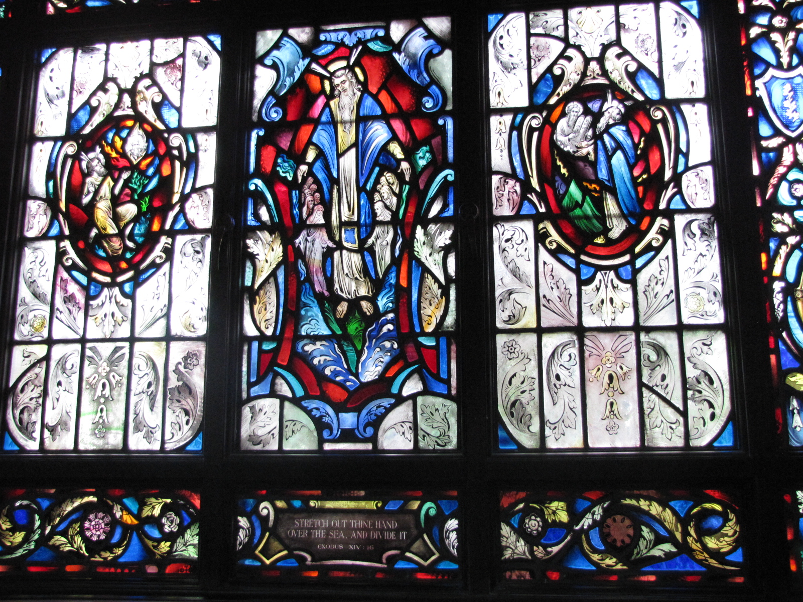
We visited the Naval Academy Chapel where here was some amazing stained glass windows.

IMG_6375 IMG_6377

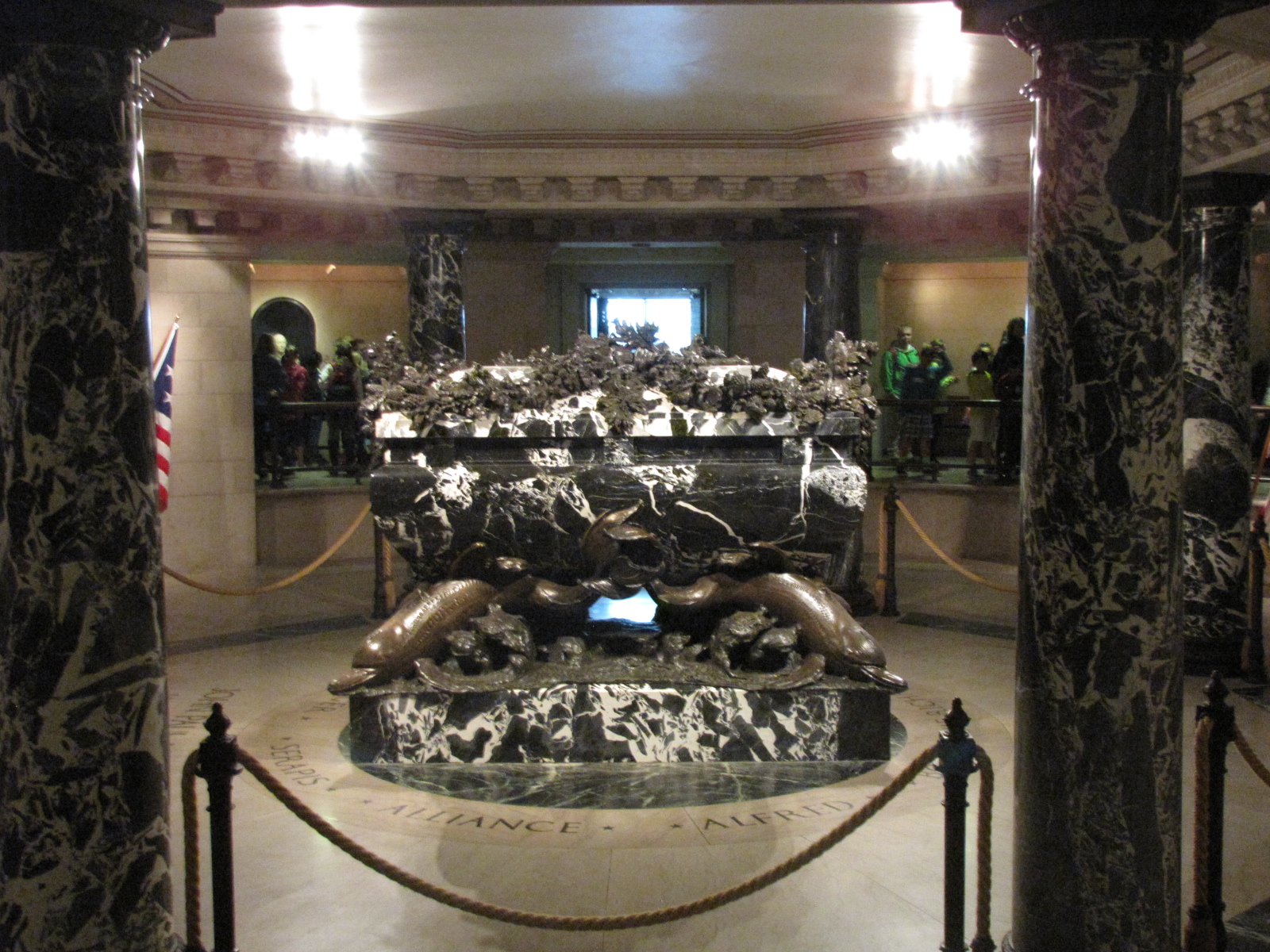
In the crypt of the chapel there is the remains of Commodore John Paul Jones, who was one of the naval leaders of the American Revolution.

IMG_6388

IMG_6389

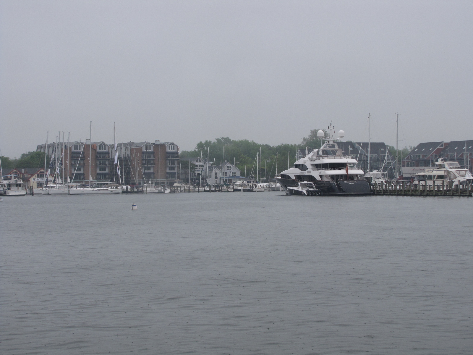
Here’s a view of the harbour from the city docks.IMG_6405

On Saturday, we plan to go across the Bay bridge to the Eastern shore and visit St. Michaels.

Sleeping in Maryland but spending our days in Washington D.C.

May 6,7,8,9

On Friday for forecast was for rain all day and that’s what we had.  Andy decided it was a good day to change the oil in the engines.  When he started up the engines, he noticed that he had an oil leak in the starboard engine, and there was about a quart of oil in the bilge.  Because we’re at a full-service marina, he called a couple of the contractors on site to see if someone could come take a look.  He was told there was a 2 week backlog but one company may be able to have someone come on Saturday on O/T, they would let us know later in the day.

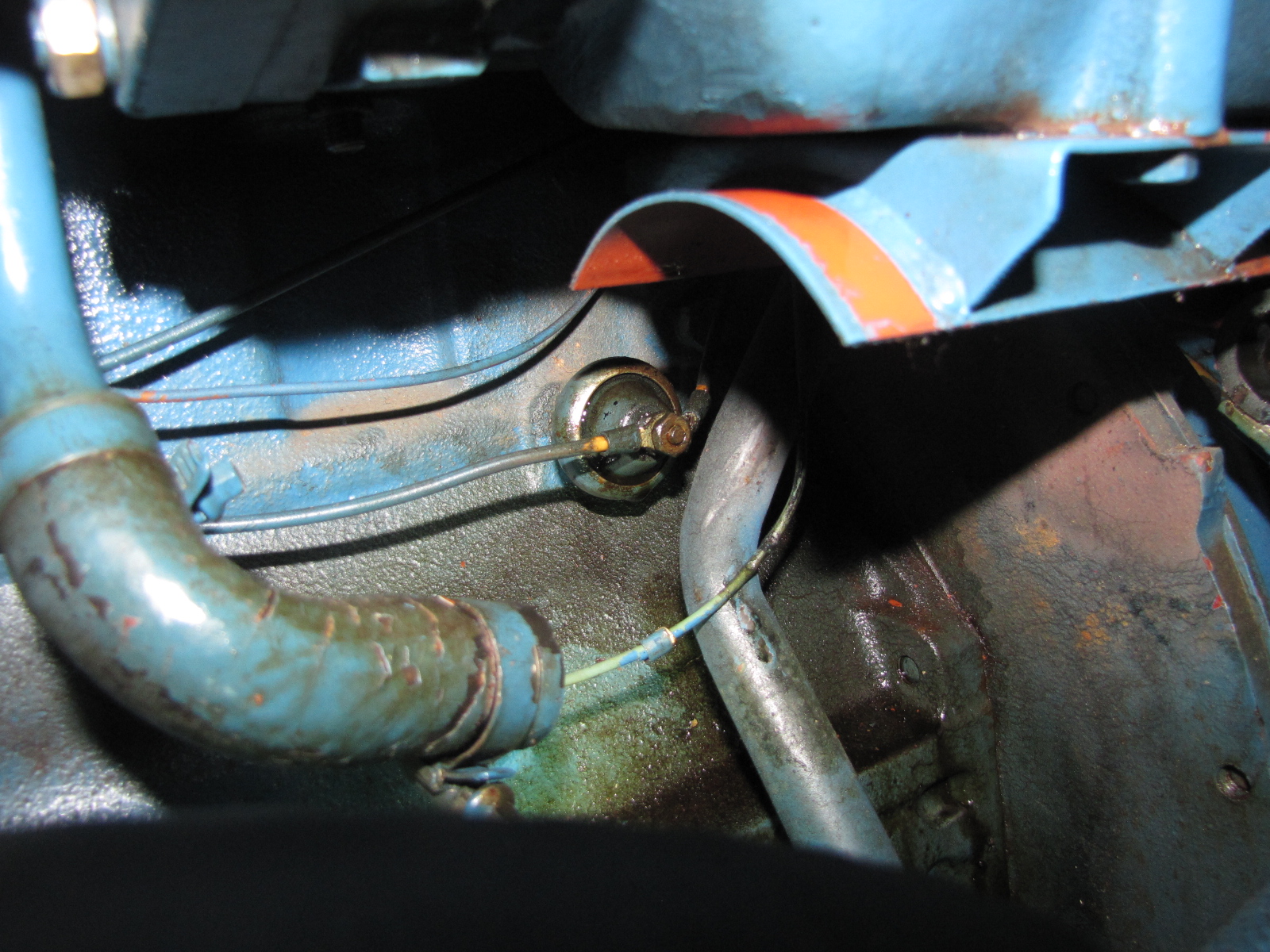
Andy met a mechanic from on our dock working on another boat, who came to check our leak.  He told us what we required, and we called Trans Atlantic Diesel for the parts we had to send them this picture to ensure they sent the right one. IMG_6202

We should have them on Monday.  So Andy changed the Port engine oil, and cleaned up the spill under the starboard.  It’s a 31-year-old boat things wear out!


On Saturday morning, we got picked up by Enterprise as we had rented a car, so we could go into Washington to play tourist.  It is only a 35 mile drive.

IMG_6256


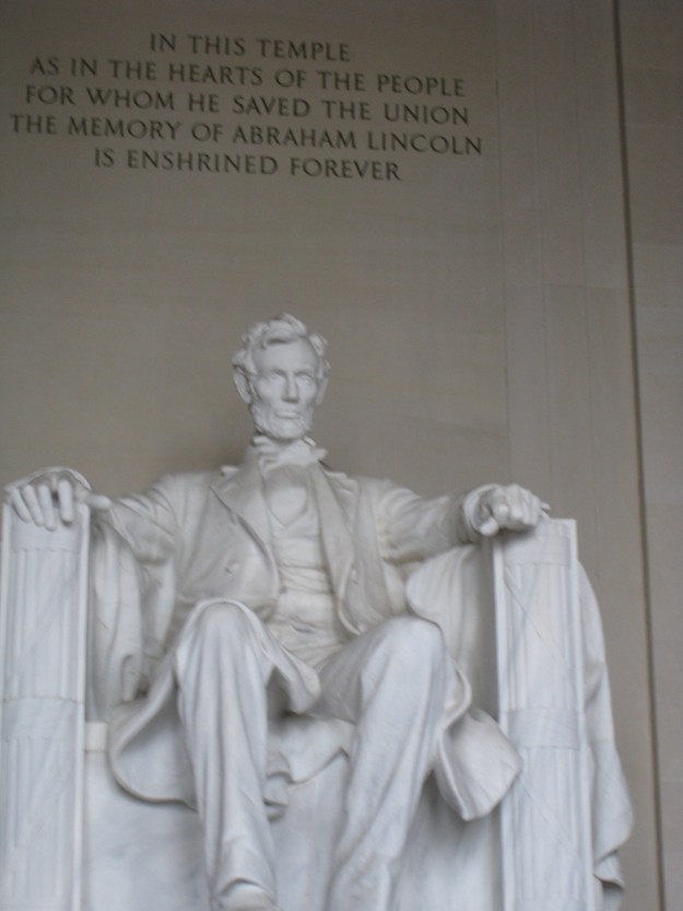
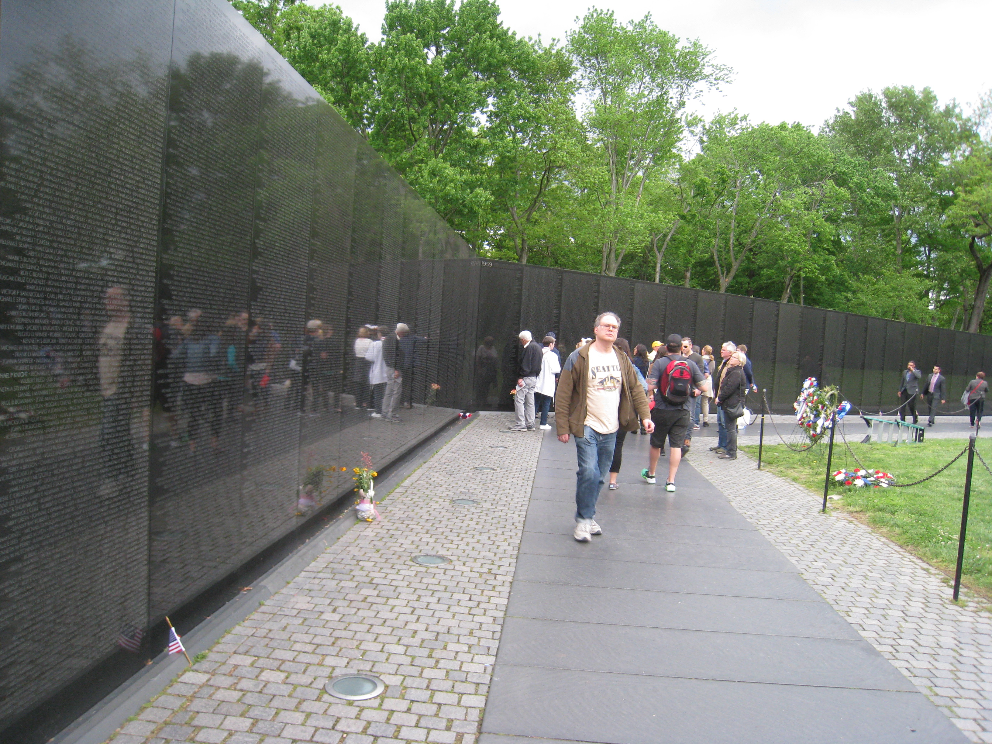
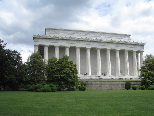
We drove around; a little and  went to the Lincoln Memorial,
IMG_2466

IMG_2472

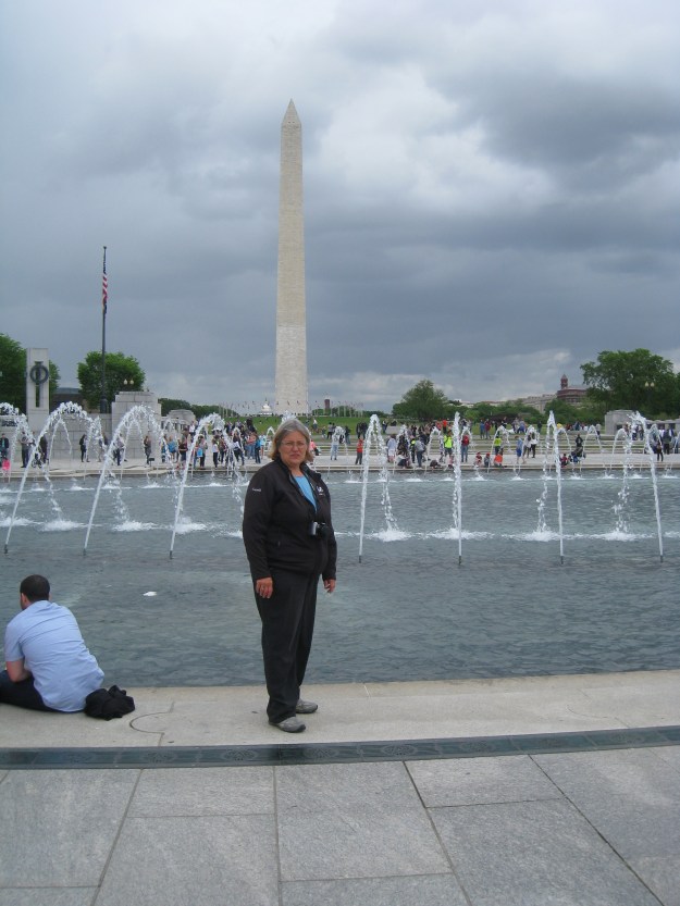
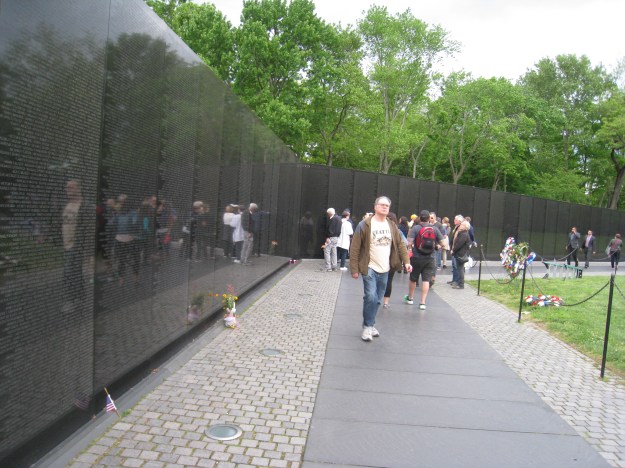
as well as the Korean, Vietnam and WW II memorials;
IMG_2476

IMG_2479

We also saw this Einstein monument near where we had parked.

IMG_2487

We did a lot of walking, as there was no nearby parking and thousands of people, many of which were foreigners like us speaking many different languages.  There were also lots of Pittsburg fans, as the Capitols played the Penguins Saturday night.  We went to the Happy Harbour restaurant, in another marina in Tracey’s landing for supper.

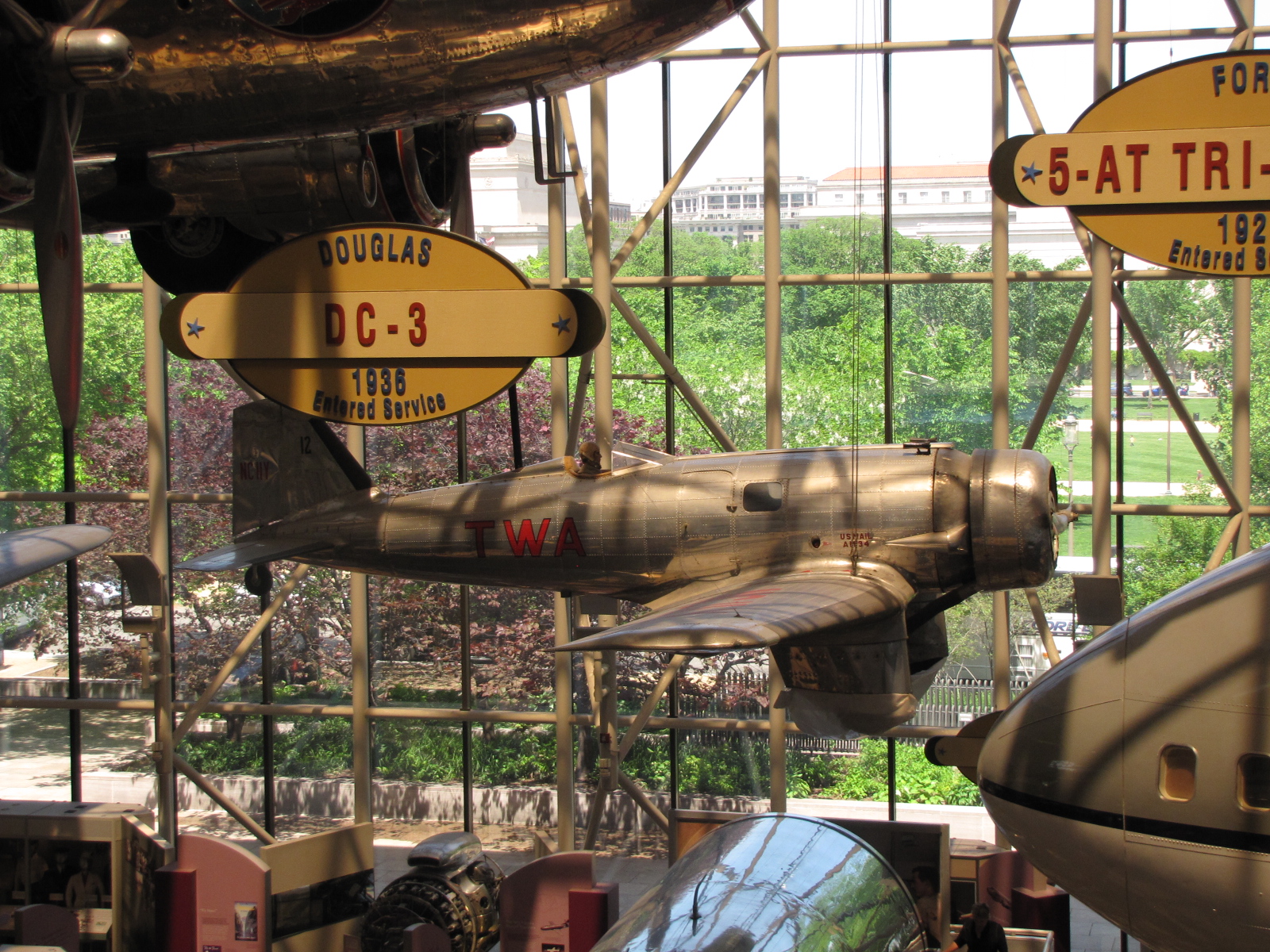
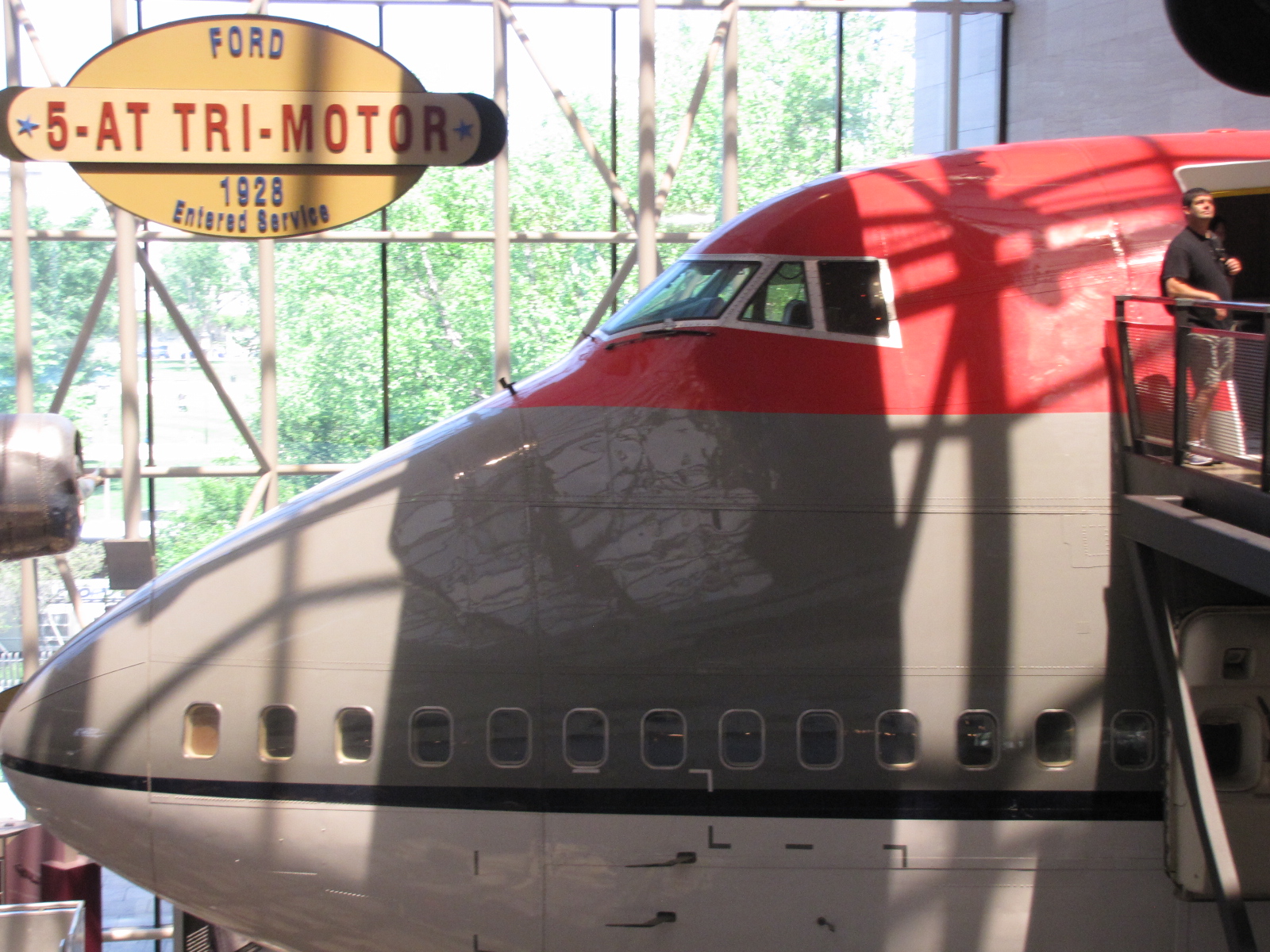
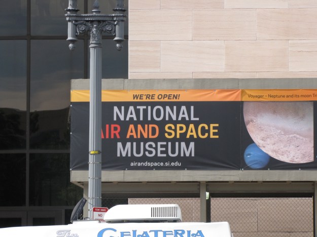
On Sunday we left the boat, shortly after 9 and headed back into Washington.  Our plan was to spend a few hours at the Smithsonian National Air and Space Museum
IMG_6255

and then go to one of the other Smithsonian museums.  We got to the museum, just when it was opening at 10:00, and got great parking just across the street.  We embarked on a 1.5 hour guided tour at 10: 30 which lasted until almost 1:30, and we hadn’t seen it all yet.
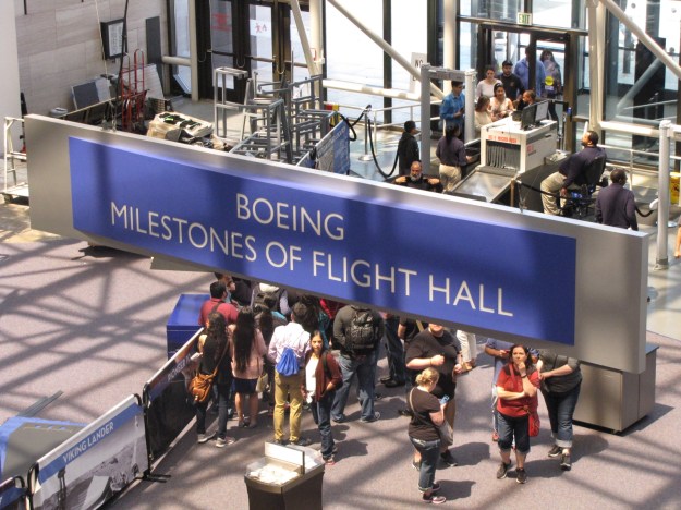
 

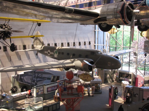
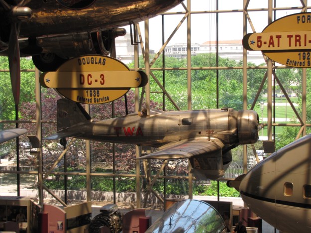
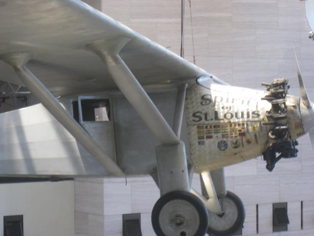
IMG_6235 We went back to some areas to take more pictures and went into galleries, that weren’t on the tour—we left the Museum after 4:00.  In the 6 hours there we saw and heard about early flight, with the Wright Brother’s display, Spirit of St Louis,

IMG_0732IMG_0734

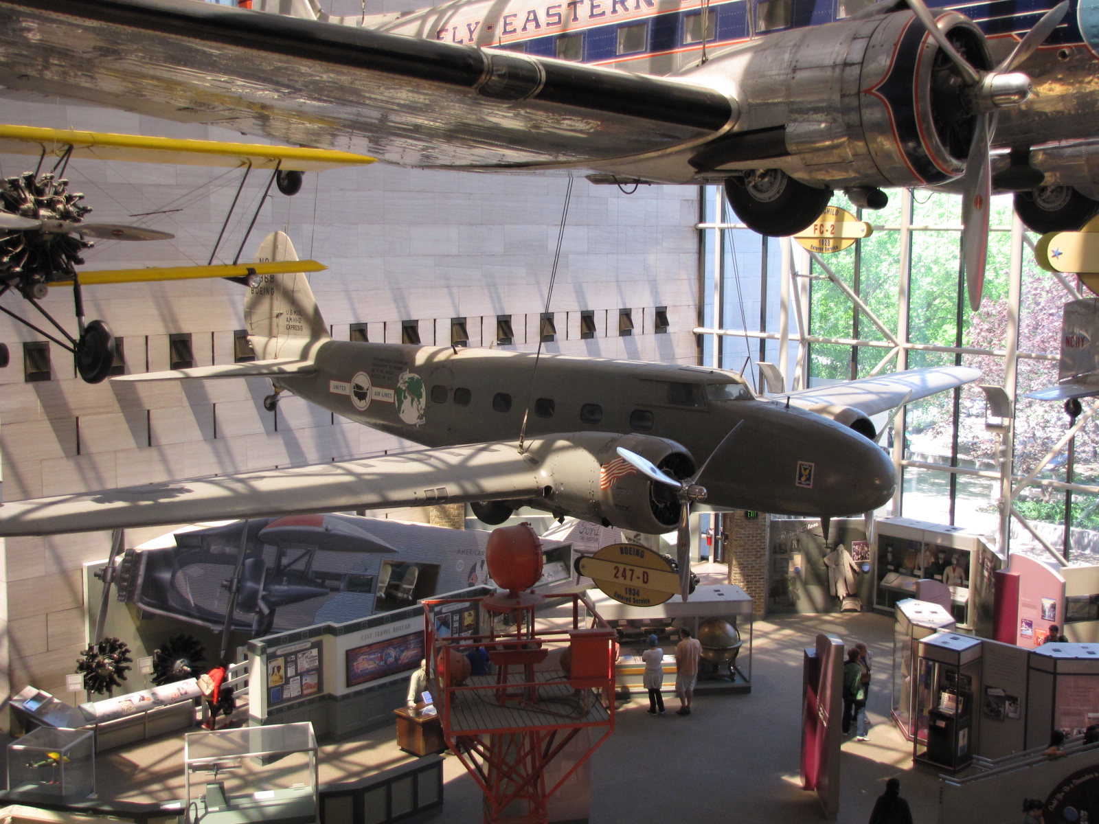
IMG_6219 IMG_0737Amelia Earhart Lockheed Vega, as well as saw some of the early mail delivery planes,
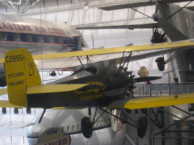
IMG_0762

IMG_6230 IMG_6231 IMG_6232 IMG_6233

IMG_0710

first passenger planes and military planes
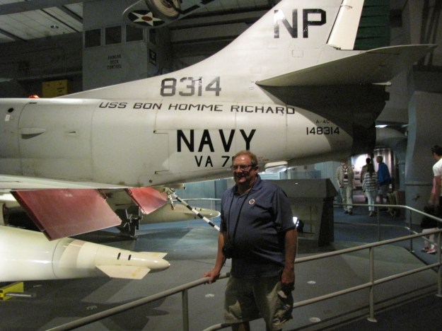
IMG_6250


IMG_6228

 i saw this Canadian flag flying outside of one of the windows while I was taking pictures of planes and focused in on it. Not sure what building it was on.

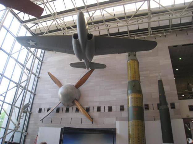
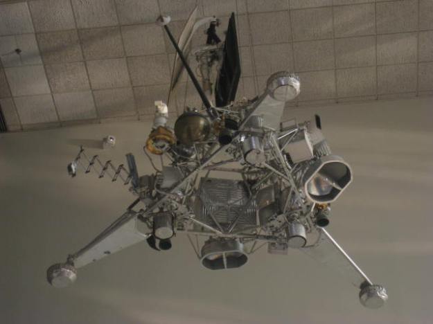
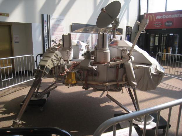
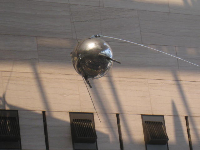
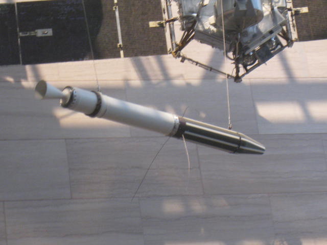
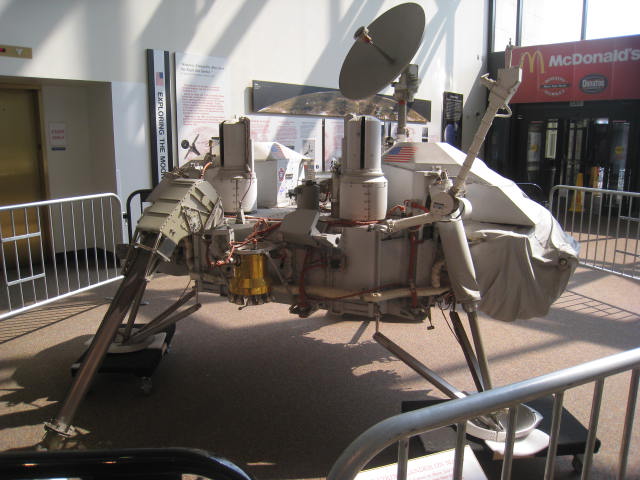
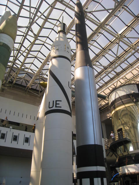
There was lots about the space program, and space race- some of the artifact are the actual ones used, or are the “back ups”.
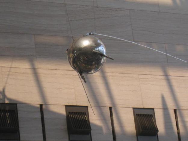
IMG_0714 sputnik model supplied by RussiaIMG_0715

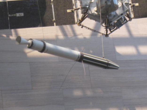
Explorer 1  backup satellite

IMG_0724

IMG_0702 IMG_0705   IMG_0712 IMG_0716 IMG_0718 IMG_0722

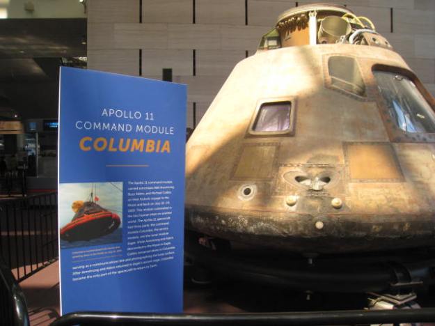
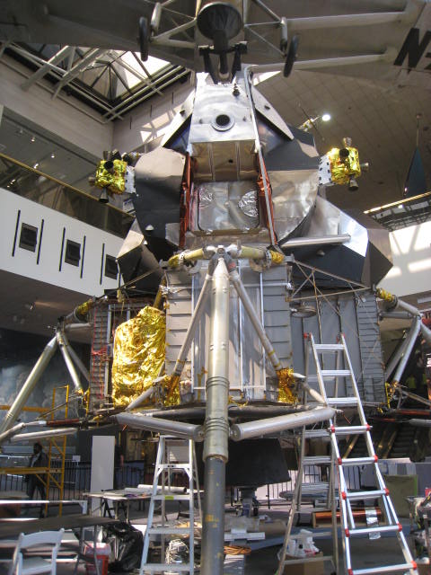
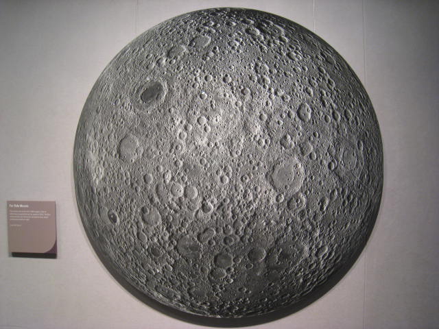
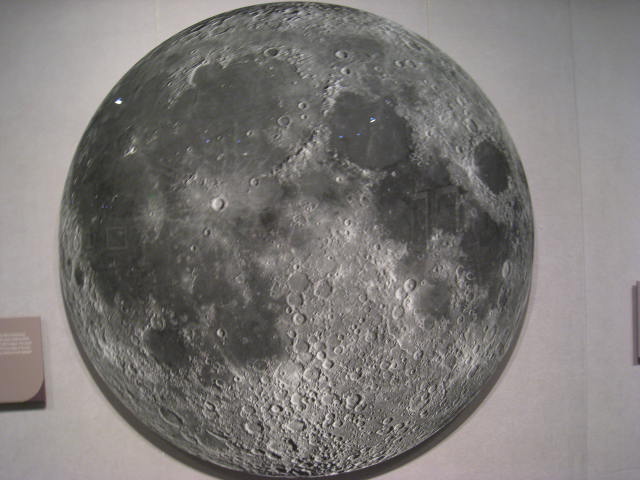
various missions and pictures and artifacts from the moon.IMG_0740 IMG_0741 IMG_0754
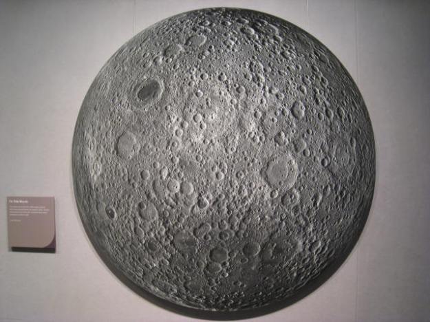
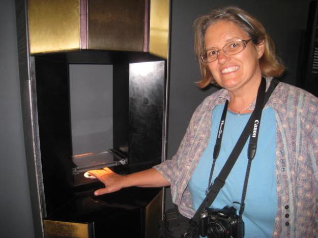
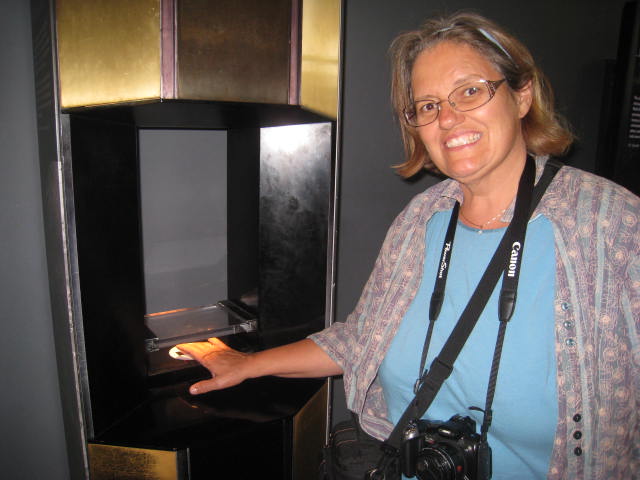
Here I’m touching  moon rock.

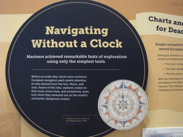
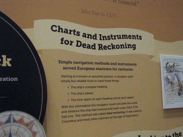
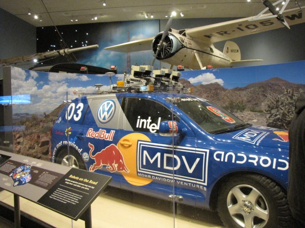
There were also displays from both World Wars, and the evolution of navigation from naval times, up to rocketry navigation including global positioning systems.  Here is a picture of the robotic car too.
IMG_6246

IMG_6244

IMG_6243

How ironic leaving Washington, our GPS stopped working, we realized the adapter from the GPS to the cigarette lighter was faulty.  Luckily it had got us onto Pennsylvania Avenue and Andy figured he could get us home from there.  That’s why I let him drive both the car and the boat—he has much better sense of direction than I do.  We got off Pennsylvania Avenue in search of a store, where we could buy a “mini” adapter piece—tried several drug stores and one lady gave us some brief instructions as to where we could find a Best Buy, it was 5:30 by this time and being Sunday- we figured it may close at 6:00.  We followed what we thought were the instructions, but didn’t find it.  Andy still figured he could get us home and had an idea where there was a Wal-Mart.  We saw a Staples enroute however it was closed.   We found an adapter in Big Lots and once again had our GPS working.  We arrived home at 8:00—it was a long 11 hour day on the road.


Monday morning we got up, and Andy noticed that our American courtesy flag and staff were missing—not sure if they were taken during the night or yesterday while we were away.  Funny thing is that the flag was getting quite tattered, and I had taken it down on Friday when it was raining and cut off the tattered ends and re-hemmed it by hand.  Maybe I should have left it—no one would have wanted it in the state it was in.

We got ready and drove in to Washington, slower trip than on the weekend as there was a lot more traffic on the road and places where they were doing some road repairs and it was raining again.  There has been one stretch of Hwy 4, Pennsylvania Avenue that was full of pot holes and ruts so the repairs are needed.

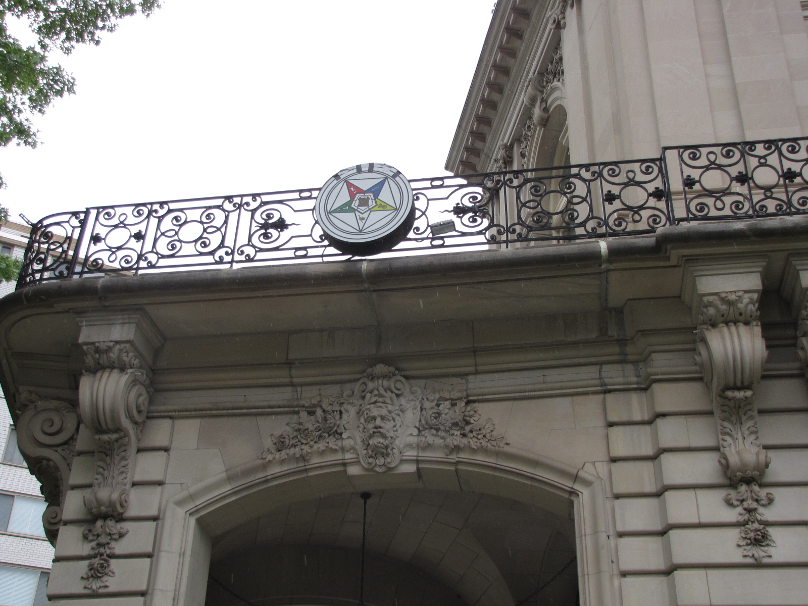
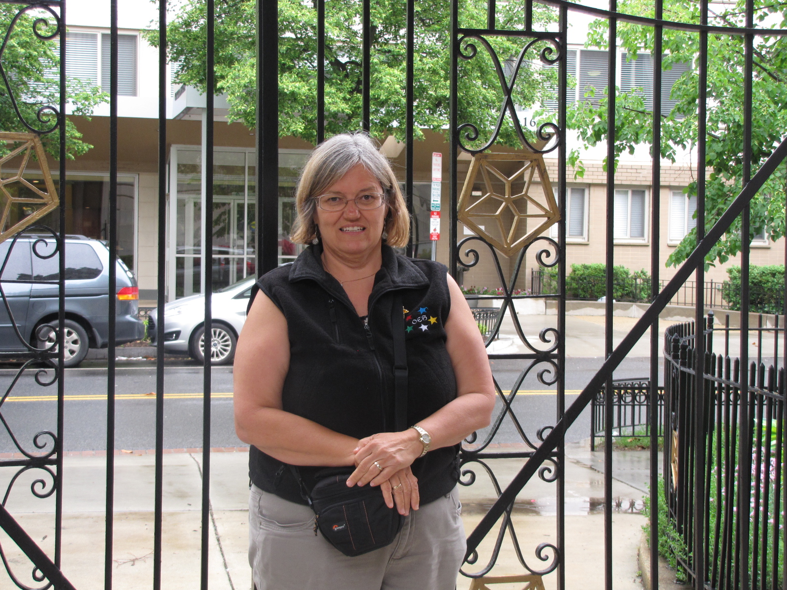
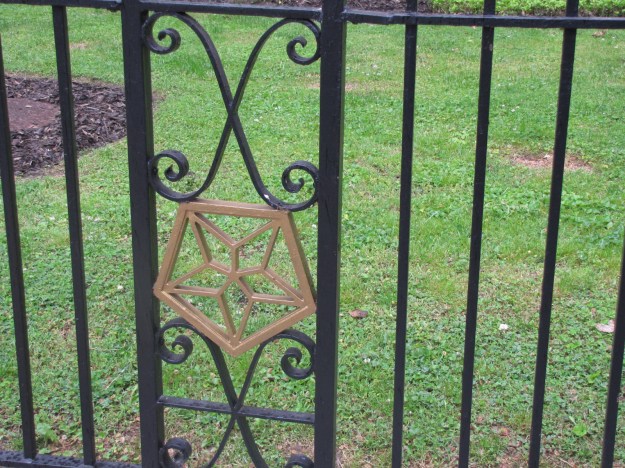
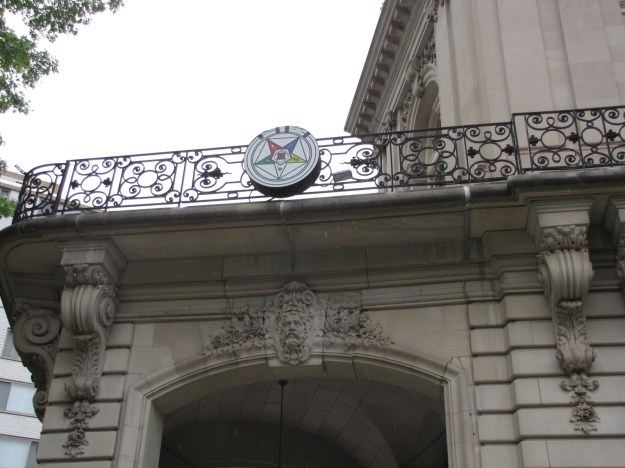
We had an appointment to visit the International Temple of the Order of the Eastern Star at 1:30.  We arrived there at 11:30 because when we had cased the area on Saturday, I had noticed that many of the streets had no parking between 9:30 and 11:30 on Mondays for street sweeping- so we figured if we were there at 11:30- we shouldn’t have a problem finding a spot.  We walked by the OES headquarters and ran into a group of star members from Burlington Ontario, who had visited the centre in the morning.
IMG_6257

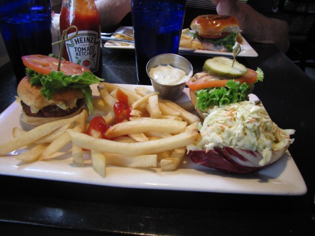
IMG_6259  IMG_6261 They had told us were they had gone for lunch nearby and we decided to go there as well.  I had Crab cake sliders.
IMG_6260They had also told us that there was parking behind the building for visitors.

After lunch we moved the car to the OES parking spot, and went into the building at 1:15.  Once our dues cards were scrutinized the tour started at 1:40.

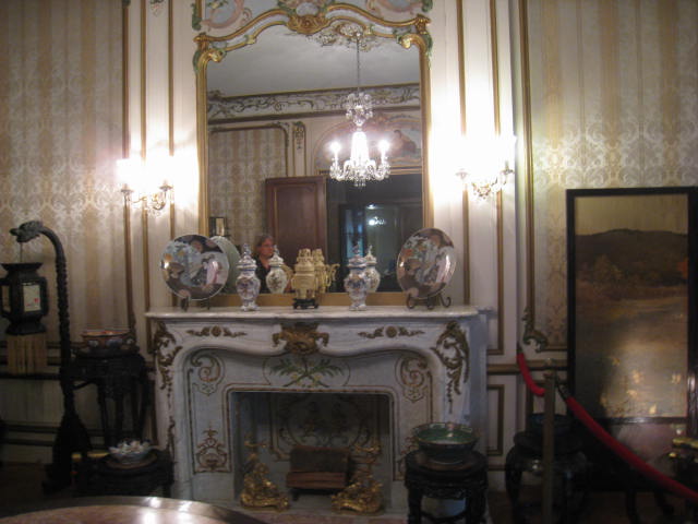
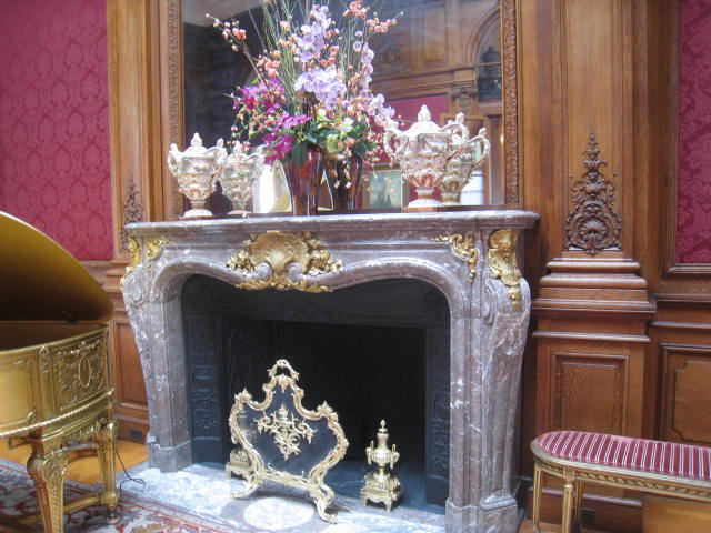
Here’s some info about the headquarters from Wikipedia:  The building is located at 1618  New Hampshire Avenue NW in the historic  Dupont Circle  neighborhohood of  Washington D.C.  and was the former Perry Belmont Mansion completed in 1909.  This building serves as the headquarters for General Grand Chapter of the Order of the Eastern Star. The Right Worthy Grand Secretary and his spouse live on the premises. Tours are usually for members only. Items from the Belmont era of the mansion, as well as items sent to the International Temple as gifts from chapters around the world are on display It was bought in 1925 for 100,000  and is now valued at 7.5 Million (2009 evaluation.)  Here’s some of the pictures from the building

IMG_6262

IMG_0781 IMG_0788 IMG_0793

IMG_6269IMG_0803

IMG_0794IMG_0805 IMG_0811 IMG_0813IMG_0819

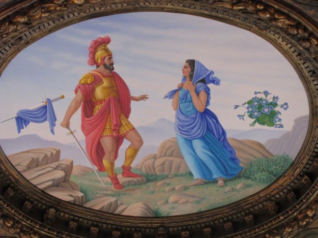
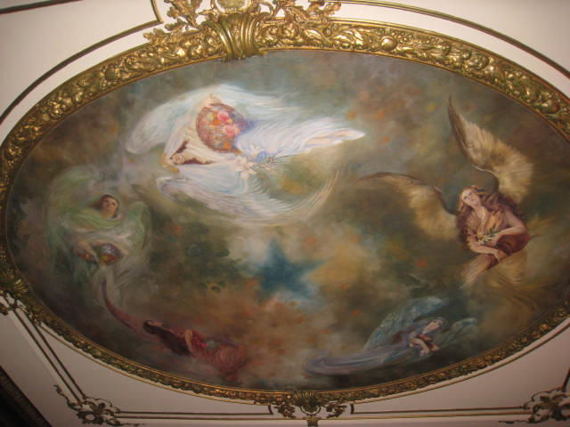
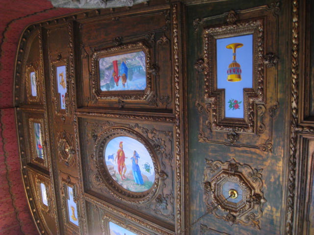
These are on  the ceiling.

IMG_6310

IMG_6309

We were in the mansion for almost an hour- amazing rooms and furnishings.  But we really don’t understand why the O.E.S. needs something this opulent.

Moved to the western shore of Maryland

May 3,4,5

On Tuesday we left at about 6:20, it was raining intermittently most of the morning.  Since it was a work day, both the upper and Whitehaven ferry were operating.
IMG_6179

It took us nearly 3 hours to come down the Wicomico River to the Great Shoal light.  We went through Hopper Strait and past the Bloodsworth (a navy bombing range) and Hooper islands.  We encountered some flags appearing in the water along with crab pots

IMG_6183

and were confused for a time, wondering if they were flags marking fish nets like we’re use to in Manitoba.  We finally stopped a boat with “watermen”( this is  what  fishermen/ crabbers are called around here) they told me the flags are used to mark a string of  crab pots.  Thank goodness for that because we had been trying to avoid passing between 2 flags, and were almost immobilized as the flags seemed to be everywhere.  We appreciated that the crab pots were quite visible with the flags-of all the  places we had been and seen crab pots this was the first time they were marked this way.

Our route then took us closer to the main shipping channel and we encountered these two boats—we probably looked like ants to them.

IMG_6185


IMG_6189

IMG_6188

Here are the 2 boats passing to put their sizes into perspective.

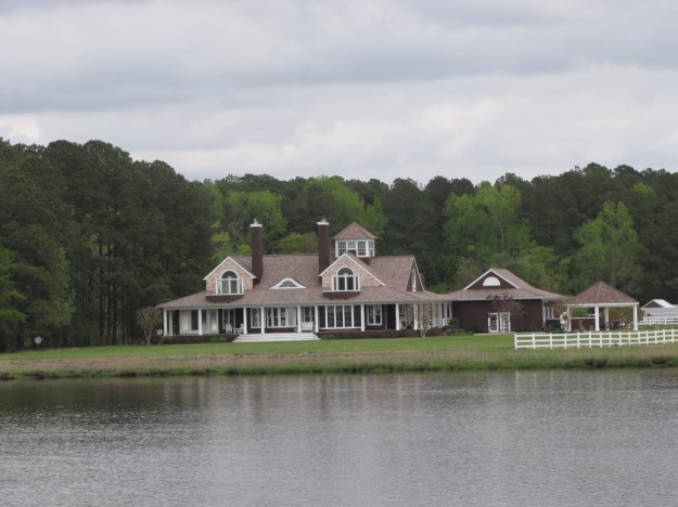
We continued northward passing by several more islands on the Eastern shore.  It was still quite overcast, we turned into the Little Choptank River at 14:32, and followed the channel down to the entrance to Hudson Creek.  We went up the creek about 2 miles until we reached a large open bay.   We anchored at 15:50.  This stately home was our neighbor for the night.

IMG_6191Around 7 we had a shower and several more through the night.  In the morning we decided to stay put in this anchorage for another day.  As the morning progressed we had a couple more light misty showers, and the bay seemed to fog over.  We were quite content to spend the day reading.
On Thursday, after having  breakfast we started the engines at 8:40 and  headed out from  the anchorage. We had watched a couple of watermen the previous day go back and forth along the creek, they seemed to be using nets / cages attached to their boats to catch fish.

IMG_6192

We exited the Little Choptank River by 9:48, it was another cold and dreary day.  We headed north through the shipping channel up to marker CR, which makes a whistling noise,

IMG_6194and on to Marker 82 which we reached at 11:22.  We then proceeded westward to the Maryland shore and into Herring Bay.  Following the marked channel we reached Herrington  Harbour North marina in Deale at 12:45.  This marina has 600 slips, with a complete repair and service yard as well as a West Marine and restaurant on-site.

IMG_6195

IMG_6198

IMG_6196

It also has wetlands for birds and other animals and dry storage.

IMG_6197

The plan is to be here for several days to explore western Maryland and go into Washington DC.

Still in Salisbury

MAY 1,2

On Sunday, it was raining, we had a great breakfast, afterwards I went outside and took some pictures around the house.

IMG_6138 IMG_6139 IMG_6140 IMG_6141

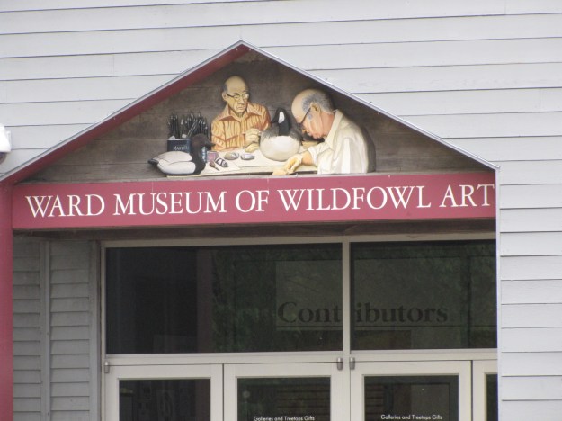
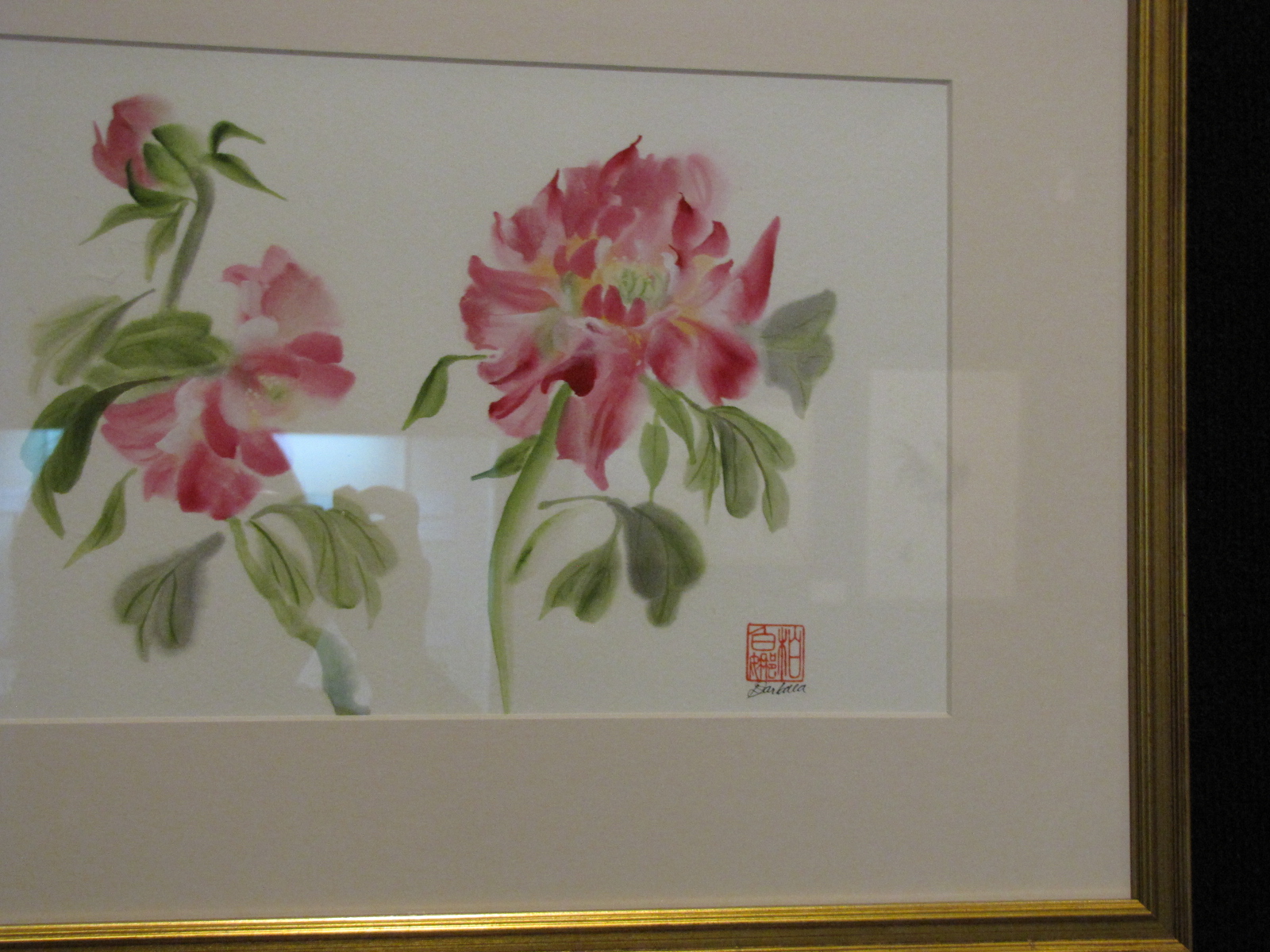
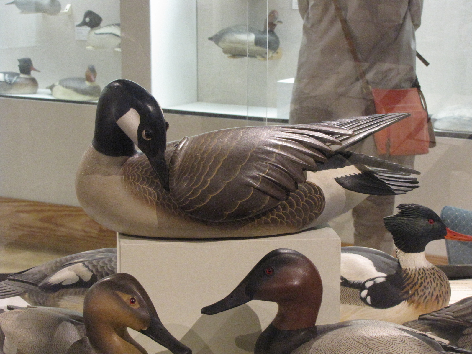
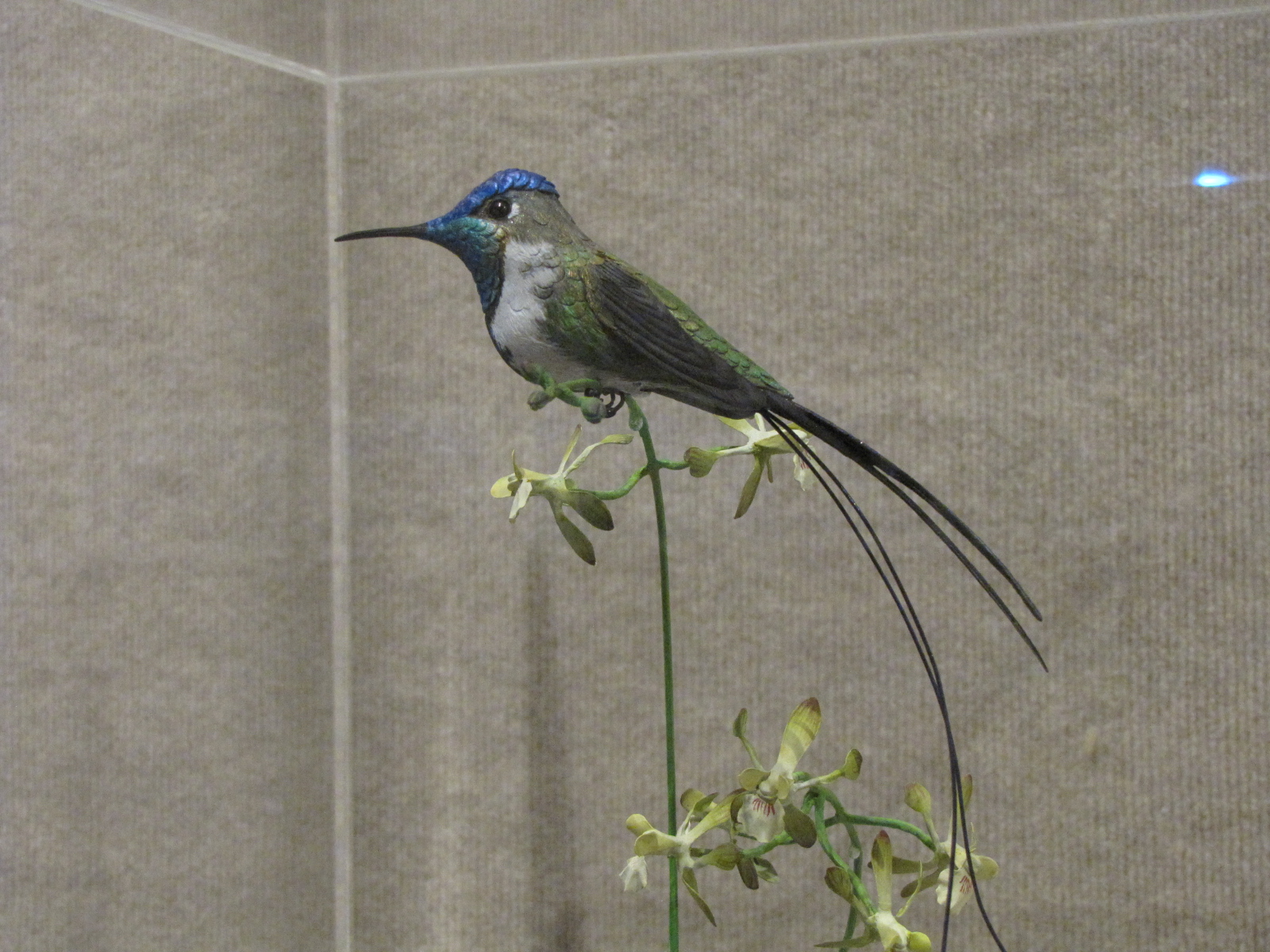
In the afternoon, we went to the Ward Museum of Wildfowl Art—the museum has several galleries of decoys  and carvings and a special one with Japanese paintings.

IMG_6162

IMG_6144

IMG_6149 IMG_6152 IMG_6160

IMG_6146

Jim, Peggy and Andy the Marathon gang in front of  some Canada Geese

We then stopped at the EVO craft brewery  for snacks and beer, and checked on the boat at the marina.

On Monday  it was June’s birthday

IMG_6170

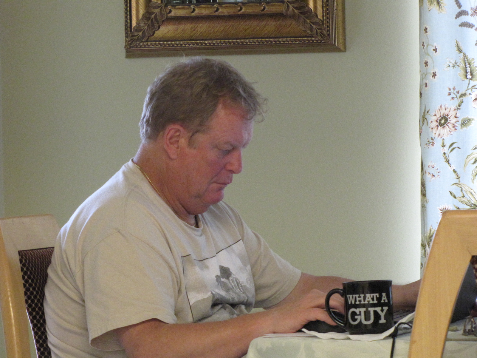
and here’s Jim  working Monday morning in his home office.

IMG_6171

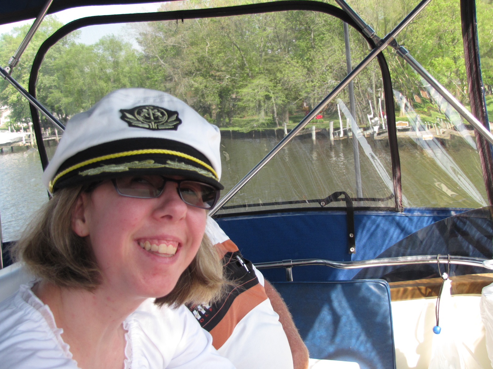
We borrowed Peggy’s car and went to Walmart  to try to update our phone.  In the afternoon we went on a short boat ride, Andy let the Birthday girl be the Captain.  We went almost to Upper ferry  and returned.


IMG_6172

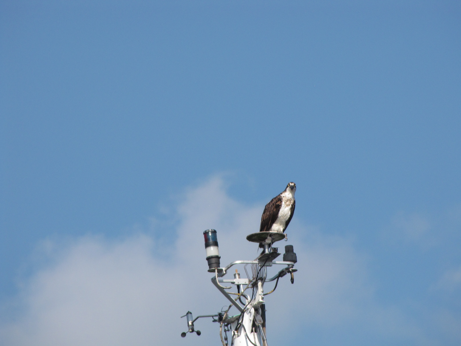
Saw this Osprey on the mast of a boat in the marina.

IMG_6174

Tonight we are going for dinner and then back to the boat, we’ll be leaving in the morning.

Another state- now in Maryland

April 30, 2016

We walked to the bakery at 7:45 and bought some fresh-baked goods for today’s trip.  We departed at 8:15 and got back out to the Bay at 8:57.  We crossed Pocomoke Sound passed by Tangier Island.   Tangier is supposed to be a very unique place, –it is a “dry” town, with a Elizabethan style of speech, no vehicles only golf carts and most people are fishermen. Sounds like Newfoundland!

IMG_6105

We didn’t have time to stop.    It was cold and there was light chop,

IMG_6104

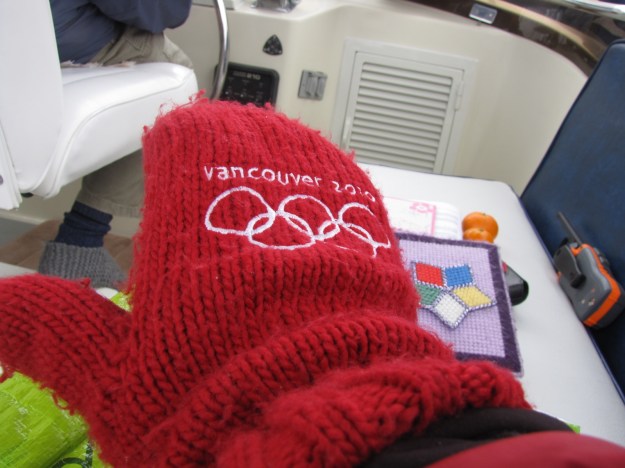
another day for layers of clothes and my mitts.

IMG_6114

We followed the Tangier Sound and passed by Janes Island, Deal Island, Bloodsworth Island and continued north into Maryland waters.    At 13:52 we passed the Great Shoals light

IMG_6121

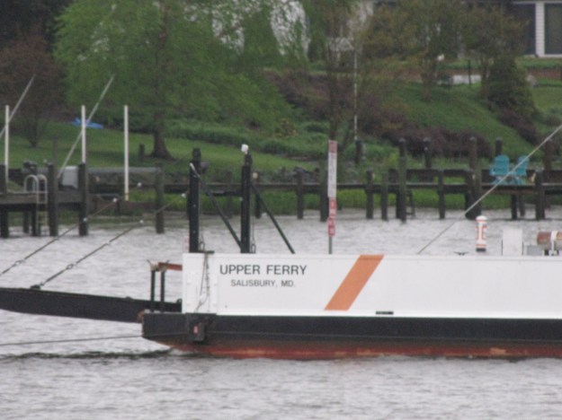
and began the 20 mile trip upstream in the Wicomico River.   We had to contact  the ferry operator at Upper Ferry to ask for safe passage through, as it is a cable ferry that takes about 3 vehicles at a time across the river.

IMG_6125

IMG_6126

IMG_6127

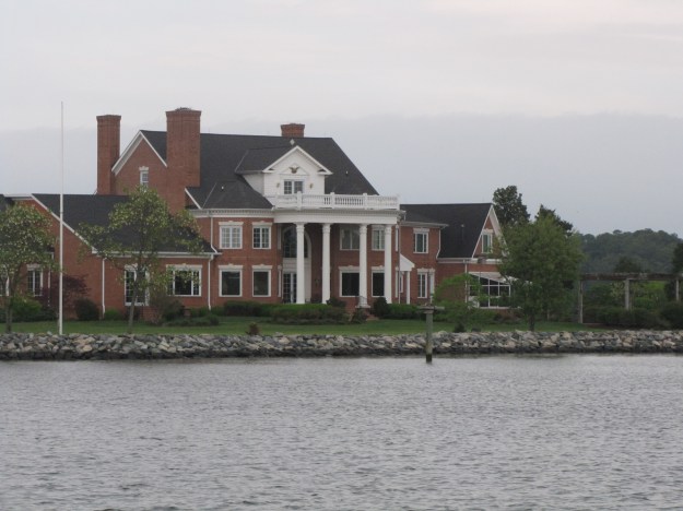
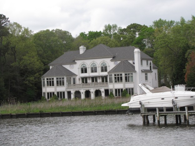
Saw some very nice houses along the river.

IMG_6122

IMG_6128

IMG_6129

IMG_6130

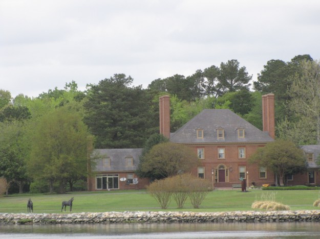
From a distance it looked like there were horses in this yard but they are statues.

IMG_6123

IMG_6124

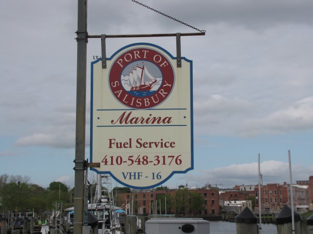
We tied up at 4:25 at the Port of Salisbury Marina.

IMG_6133

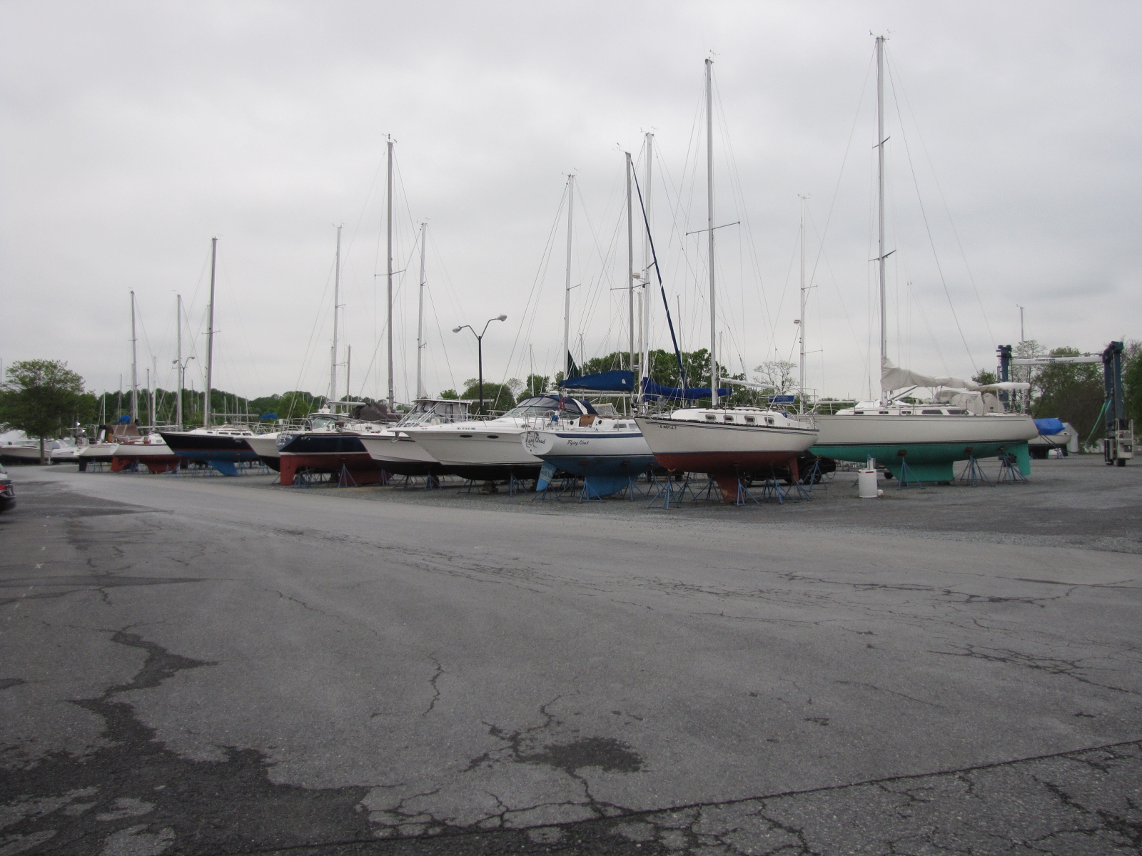
Next to the marina is a ship building yard.IMG_6132  IMG_6134 Andy contacted Jim Jensen and he came to pick us up.  We went to their house, where I met Peggy and June as well as Eddie the cat.

IMG_6135

Jim barbecued and we had a great meal, heard lots of stories about growing up in Marathon.  I called it a night, but the stories went on for several more hours.

Moving north again in Chesapeake Bay

April 28-30

We waited and watched Cat Daddy leave and make the 11:00 opening of the bridge.

IMG_6072

The window showed up at 11:15, and what would have been an easy  installation, took over 2   hours, as it was 1/16 to big for the opening.  The first solution was to grind down some of the glass, no success after 2 attempts.  Then they tried to pull up  the aluminum frame with a clamp, this also failed.  Finally they filed off some of the aluminum frame and  they had it in.
IMG_6074

By 2:15 we  were able to go to the gas dock and fill up with Diesel at $1.80 per gallon.  We made the 3:15 opening of he great bridge

IMG_6078and were through the lock by 4:00.  We went under several other bridges and  were at mile 0 of the AICW by 5:00.  We docked at a free dock in Portsmouth for the night, Rafe helped us tie up, as  that’s where he was as well.
IMG_6090

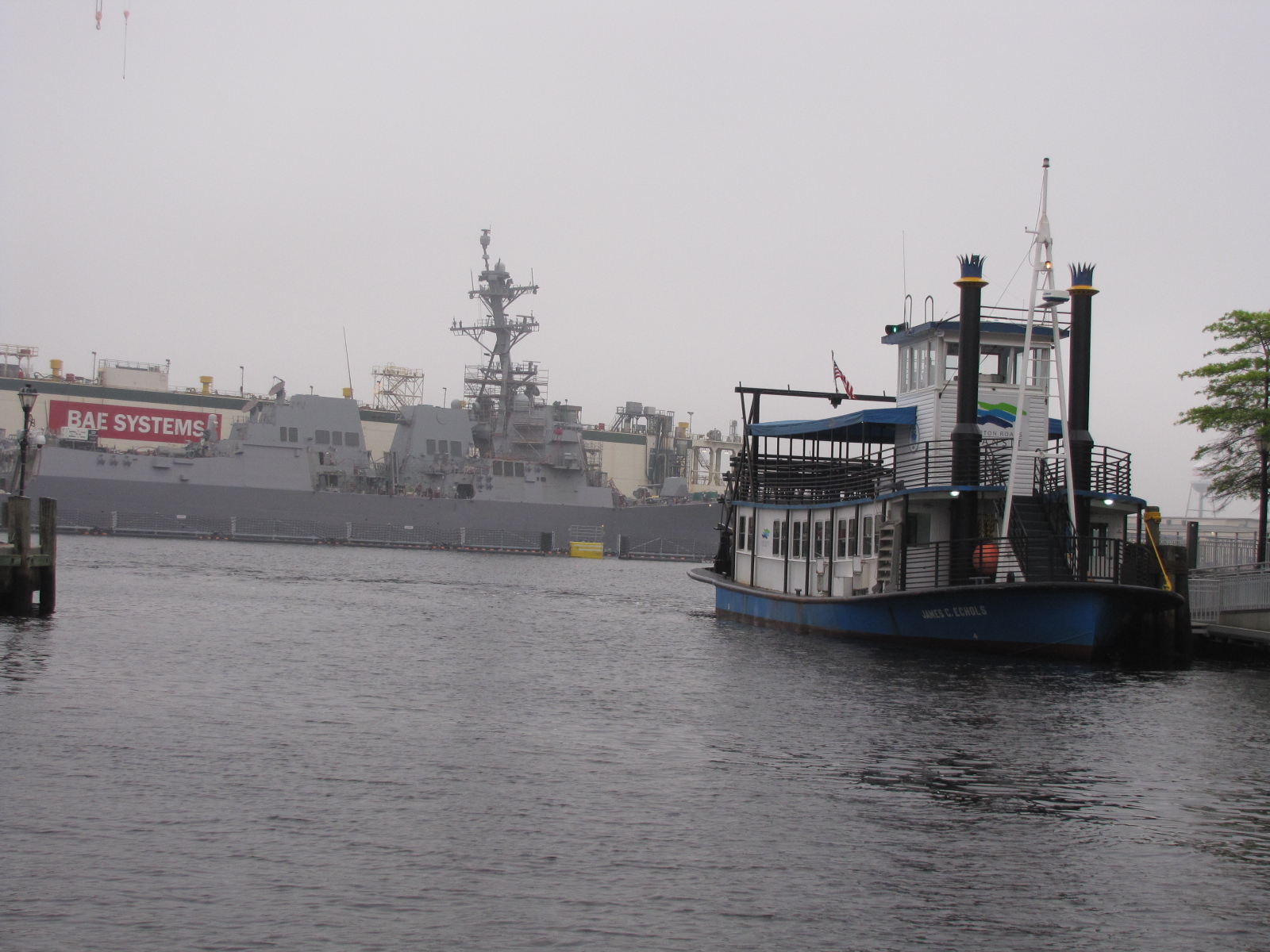
There is a Portsmouth- Norfolk ferry (paddle boat) that ties up at this dock.

IMG_6082

Rafe had supper with us and then we went for a walk  down High street in search of Ice cream.

IMG_6086


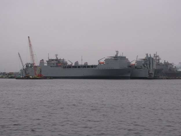
On Friday morning we left at 6:45, and proceeded through the port of Norfolk, where we saw many boats, many of which were military.

IMG_6092

IMG_6093

Weather  included some heavy mist, and light winds, we followed a large container ship out of the harbor for several miles.  The waves were 1-2 feet, but as we got further out into open water they increased.  It was cold, damp, rainy  typical Maritime weather—not fun!  Waves hitting the bow, were filling the gunwales with water.  Many items in the cabin got tossed around.    After an hour or two we got protection from the Eastern shore, and it seemed a little better, but we were both chilled.  We proceeded up the bay to marker 2 and turned in to Onancock Creek, and took the  marked channel.

IMG_6101 We had originally planned to anchor out, but decided we needed hot showers.  We had been to Onancock back in the spring of 2014 on our scouting mission- so knew it was a fairly new facility
We docked shortly after 4:00 at the Onancock Town Wharf, we cleaned up the cabin and then went for Hot showers to warm up.  In the evening we walked into town and had beers at the Blarney stone pub.

IMG_6102

Today we hope to get to the Wicomico River.

In Chesapeake Virginia, formerly called Great Bridge Virginia

April 25-28

Since we are located next to the Great Bridge bridge, I thought I should investigate why it is called Great Bridge- because it doesn’t look like anything special to me.  I have learned that the Battle of Great Bridge occurred here on December 9th of 1775, as part of the American Revolution.    The victory by the continental army led to the departure of the British from the area, back to Norfolk

We’ve been tied up to the face dock at Atlantic Yacht Basin since Sunday afternoon, and not a lot has been happening.

IMG_6058  On Monday morning, Andy informed the Customer Service rep that we were here for our window replacement, which we had booked the previous week when the window cracked.     We then proceeded to spend our time cleaning the inside and outside of the boat, as we had some potential buyers coming to see it on Tuesday. By noon we hadn’t seen the service manager yet so we walked a couple blocks to the mall and had lunch and did some shopping. We waited until 4:15 for the service manager to make an appearance at our boat.  Frustrating! He told us he’d put a call in to his window people in the morning—a sub contractor—we were led to believe that windows were done by AYB people.    He also said it may be 4-5 days to get it fixed, because it is tinted tempered glass.

On Monday night I made vindaloo, and Rafe came for dinner, we later walked to the Dairy Queen,  crossing Battlefield Boulevard, was a bit of a challenge, as the road was quite busy,  a sheriff finally put on his blue flashers and let us cross.  He did remark that it was quite dark out and to be safe!

Here’s  the sunset Monday night.

IMG_6038

Tuesday morning, the waiting and cleaning continued.   The couple from France came to see the boat at 2 pm—they are hoping to do the loop in the near future and wanted to find out what type of boat options are out there.  Late Tuesday afternoon  the service manager said we could try another supplier for the glass. It had  been a hot day mid 80’s so we went to Dairy Queen again for ice cream.

Andy removed the window early (6:30) Wednesday morning, so that it could be shipped out.  I spent the better part of the next three-hours removing the caulking from the window frame and track.

IMG_6062


The captain worked on waxing and polishing the gel coat on the boat.

IMG_6063

In the afternoon we went for walk to get groceries, on our way we toured one of the storage sheds at AYB and saw this beauty.

IMG_0698

We’ve seen lots of boats come down the Cheseapeake canal and wait for the bridge.  Here’s a few that passed by today.  There is also a free dock just across the channel so the boats change there every few hours or days as well.

IMG_6068

IMG_6066

IMG_6067

Rafe came over in the evening and we played cards the work on his boat was finally finished today so he’ll be leaving in the morning.  No Dairy Queen tonight, instead I had baked chocolate chip cookies.  At about 9:00 it started raining, we had covered up the window  hole with plastic to keep the boat dry.  At 10:00 we saw a  3 level cruise ship go through the Great Bridge.

It’s now Thursday morning, there is still light intermittent rain falling.  We hope the window gets installed today, as this stay is cutting in to the number or days we have to spend on  Chesapeake Bay

Chesapeake bay

Our plan is to make our way   north and visit with some friends of Andy’s that live in Salisbury  early next week.

We crossed another state line… now in Virginia

April 23,24

We left Lamb’s marina  at 9:05 and continued up the Pasquotank River for over ten miles and then took  Turner Cut.  The scenery was amazing,

IMG_5908 IMG_5915 IMG_5923

and because the water was so calm, I got some neat pictures of waves from our wake, combined with reflections from the sky and trees.

IMG_5911 IMG_5912 IMG_5919

We reached mile marker 35 at 10:41.    We had to hustle a bit at the end in order to make South Mills lock for it’s 11:00 opening.    We followed  Glorious Dei into the lock and were through  by 11:30.

IMG_5932

After the lock, the channel became narrower.

IMG_5939

We passed through the West Channel pedestrian  swing bridge at 12:15, and tied up to the dock at the Dismal Swamp Visitor’s Centre.

IMG_5944


IMG_5966

We went and registered at the Welcome centre and then crossed on the pedestrian bridge to the dismal swamp state park.    We toured the display building and watched the video on the park.  Here’s some of what we saw…

IMG_5949

IMG_5956

There was information on the animals, birds  and ecology of the swamp and how it has evolved– Andy made friends with this fellow 🙂  There was also information on the slaves that built the canal and the underground railway.  In the beginning  George Washington  played a part in the  dismal swamp.

IMG_5954

IMG_5950

We then took one of the trails and found an old still in the bush.  We returned to the boat as it looked like rain clouds were approaching.

IMG_5959

Sunday  morning, we went back to the state park to walk down some of the other trails and saw this sign.IMG_5965 We saw this tree that looked dead but had more than a dozen  branches that  looked like trees.

IMG_5980

Also  saw this blue butterfly.

IMG_5964

We left the visitors centre at 9:55, and entered the state of Virginia after passing mile  marker 25 at 10:24.

IMG_6006

We saw a number of branches, logs  “snags”, coming out of the water, some of them had turtles  on them  sunning themselves.

IMG_6003

There were also branches with these nest/ cocoons – not sure what will emerge from them.

IMG_6000

We continued down the canal going about 5-6 miles per hour and the captain seemed quite content at this pace.


IMG_5914 We arrived at the Deep Creek bridge 12:50 and had to wait until 1:30 for it to open

IMG_6024 and then proceeded to the Deep Creek Lock.

IMG_6029

IMG_6027

We departed the lock at 2:05 and then continued for a few miles before turning south into the Chesapeake canal.

IMG_6030

We made  the 3:20 opening of the Great Bridge lock and the 4:00 opening of the Great Bridge bridge.

IMG_6035 IMG_6036 This bridge opens extremely quickly because of the suspended  counterweights.  We arrived at Atlantic Yacht Basin at 4:10, as it is located by the bridge.  We will be staying here in Chesapeake Virginia for a couple of days in order to get some window repairs done.  We encountered  Rafe in the marina, who we had first met in Belhaven.  He came for a visit and later took us shopping in his rental car.  Across the canal, we saw another boat that we had met in Belhaven as well.

We spent over 3 weeks in North Carolina, and met some of the nicest people in small towns, and the two days just spent going through the wilderness of the dismal swamp was so peaceful and enjoyable.  We’ll miss the south!    Greatest Hospitality in NC !

IMG_5832