Update of November 24, 25 and 26
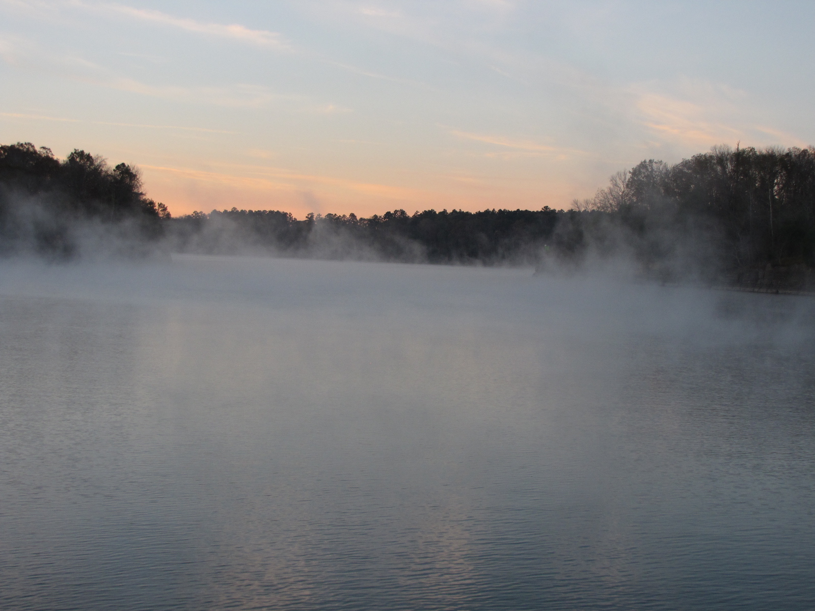
Due to a fog delay, we didn’t get through the Demopolis Lock until 8:35, a 2 ½ hour delay as we had hoped to lock through at 6:00. There were 6 powerboats (Adiamo, Hop on Board, India Jayne, Touch of Class, Longfellow and a sail boat- Beluga locking down. Following the lock the boats spread out depending on how fast they travelled. We had planned to stay with “Touch of Class”, so we followed him for most of the day at a more leisurely pace. At mile point 173, we passed the James River Paper Mill, which Andy recalls his dad going there as a troubleshooter back in the 1970’s.
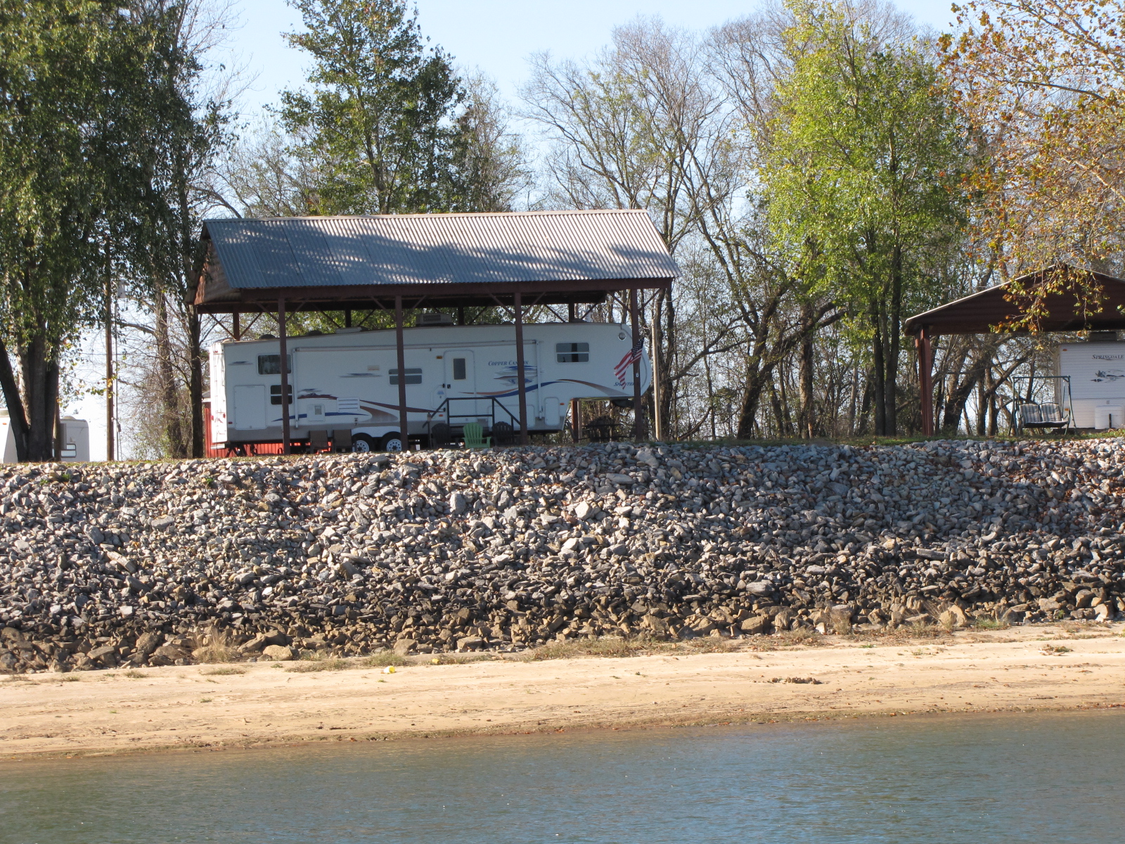
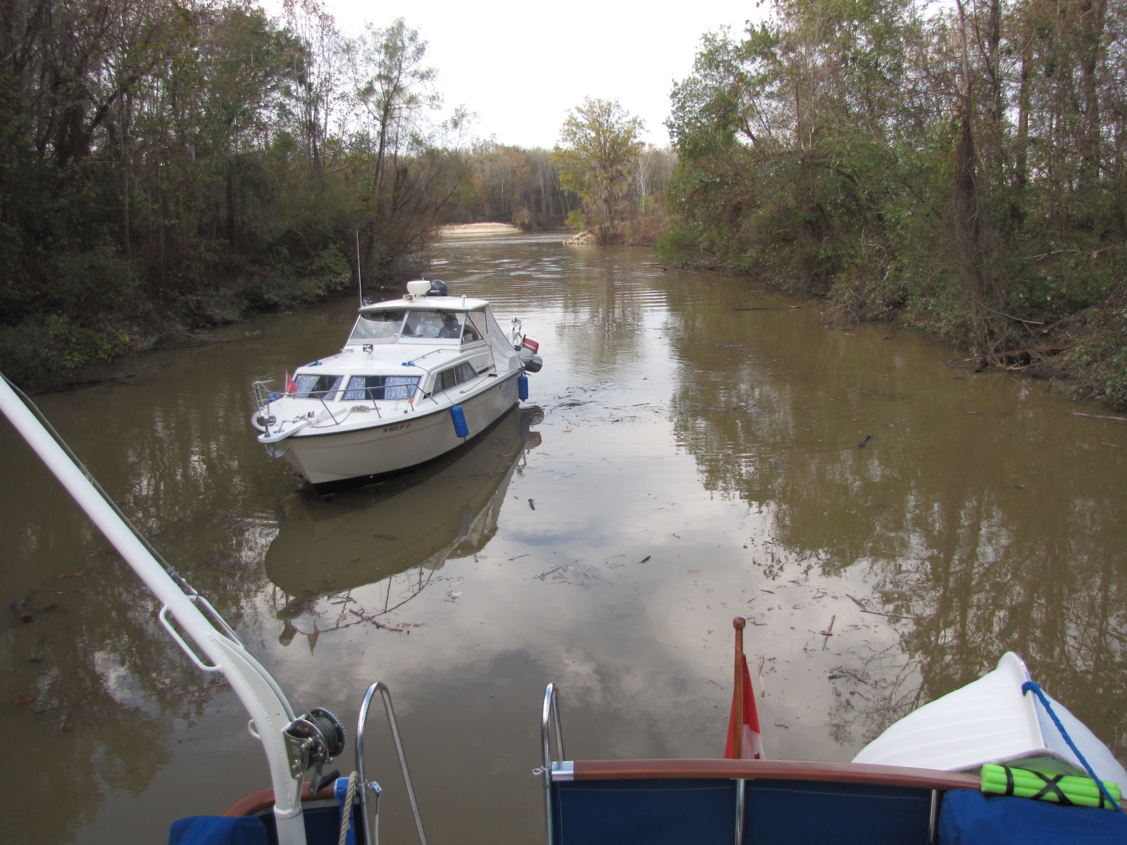
We ended up anchoring at mile 145, Bashi creek, in about 11 feet of water, there was lots of debris and branches when we entered, but we went slow- 2 anchors were set and then “Touch of Class” rafted to us and set another anchor.
 We weighed anchor at 6:02,
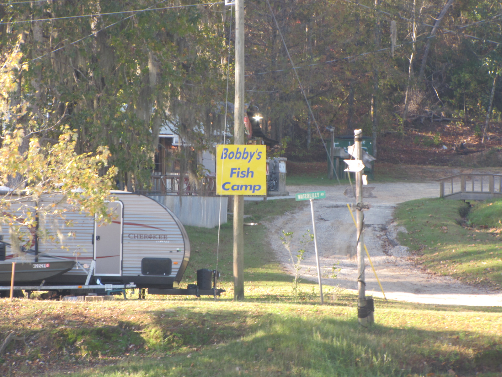
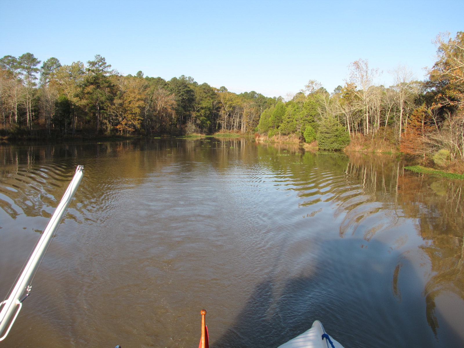
 and continued down the Tombigbee-Black Warrior River. We cruised by “Bobby’s Fish Camp”, where many of the faster boats from yesterday had spent the night tied up to his dock. Didn’t look like we missed much, although there was a damaged boat on the shore- not sure how long it had been there.

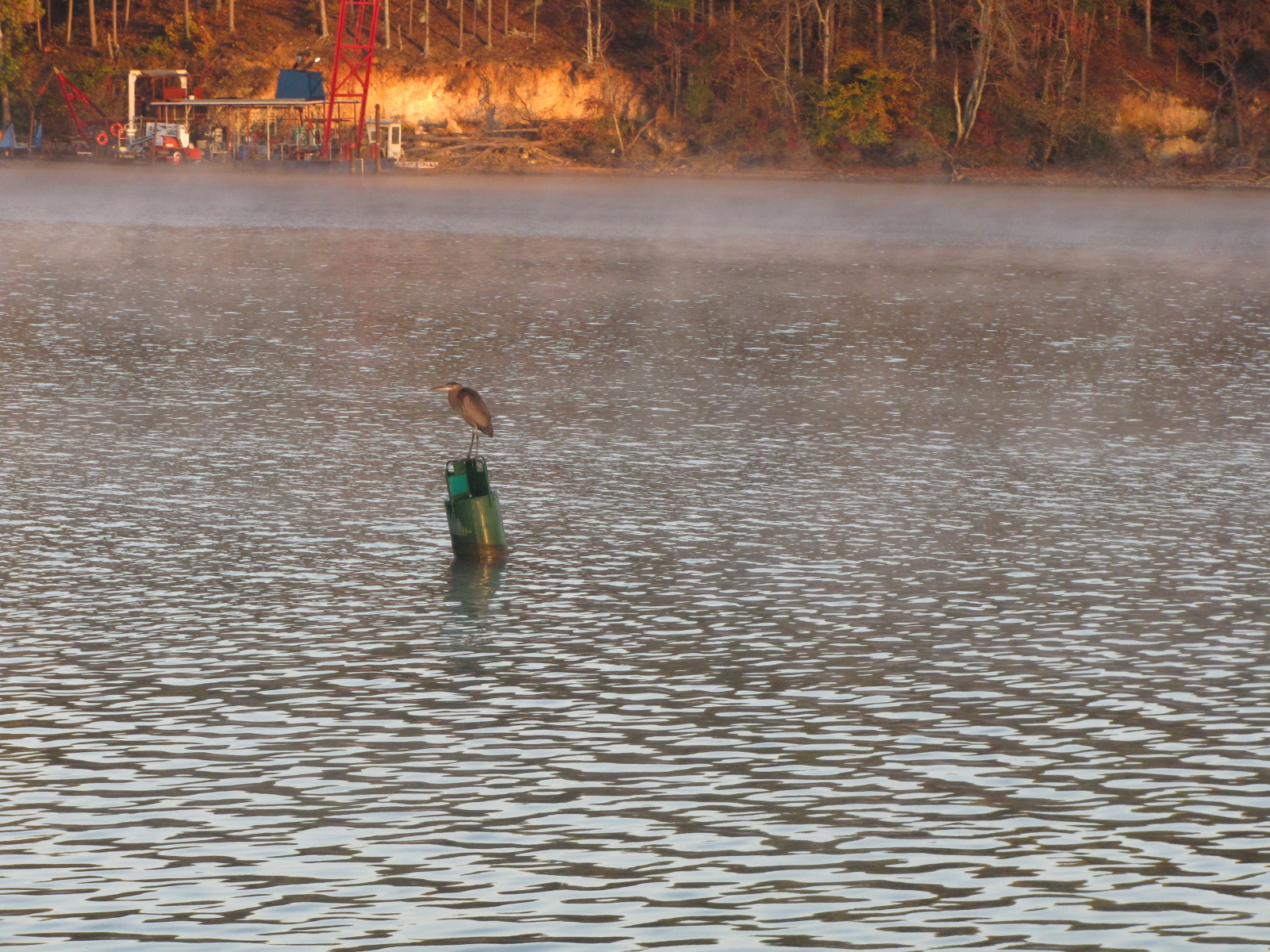
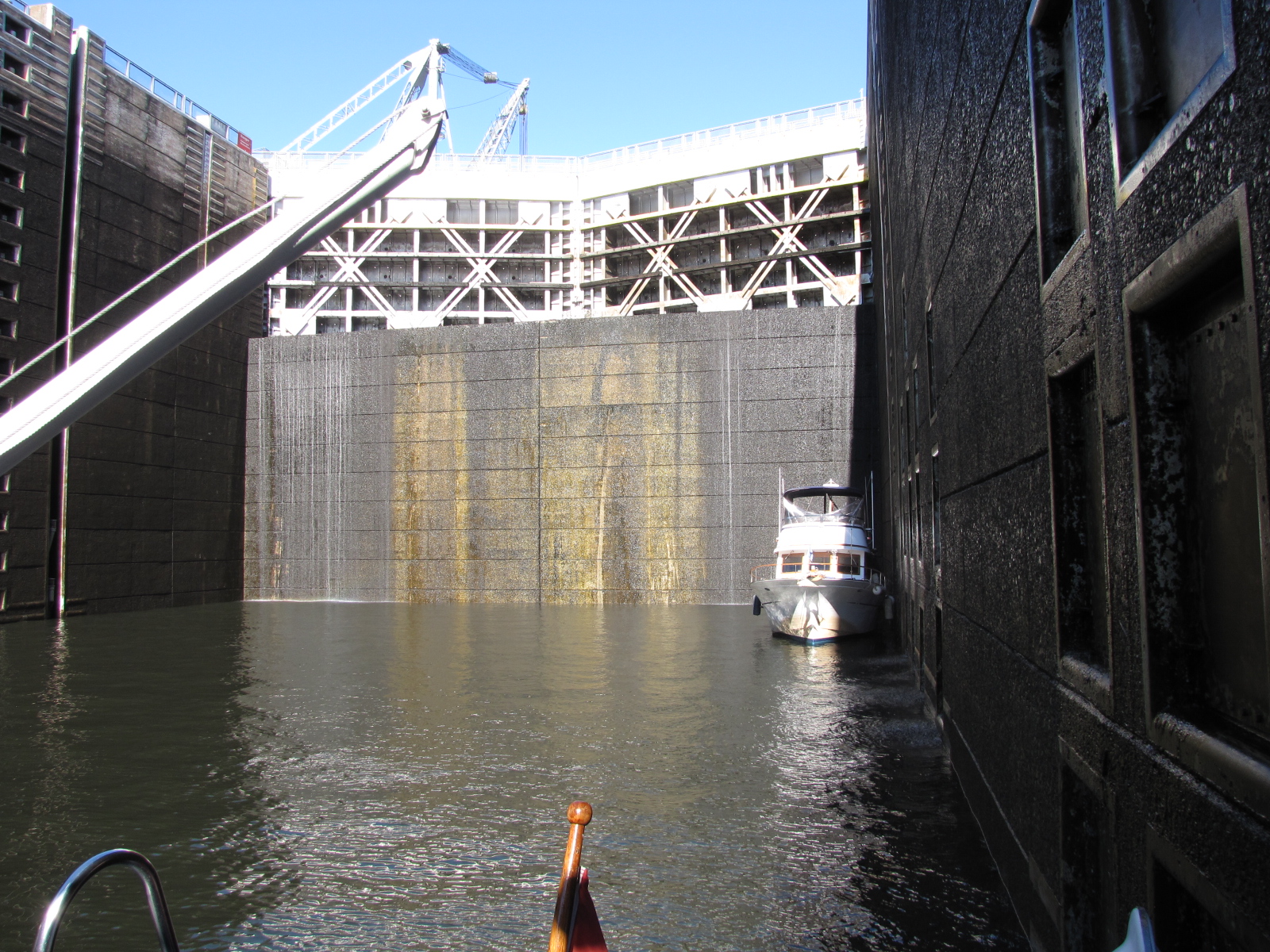
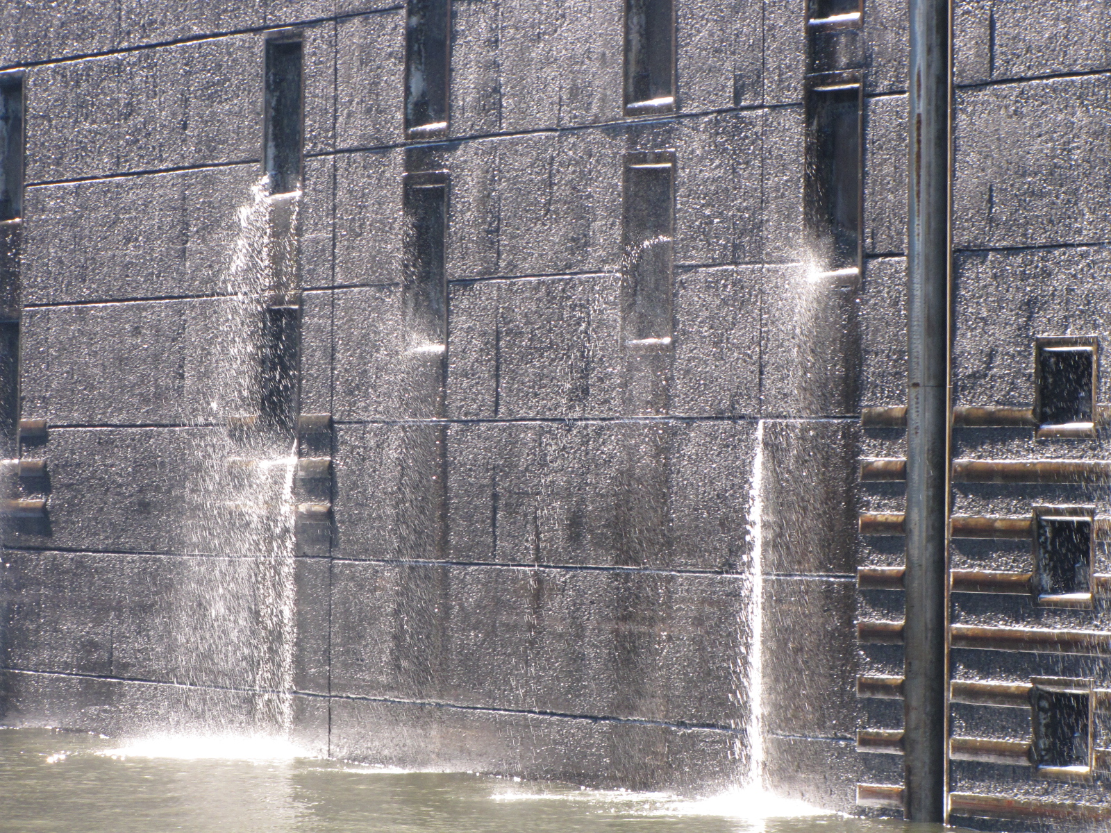
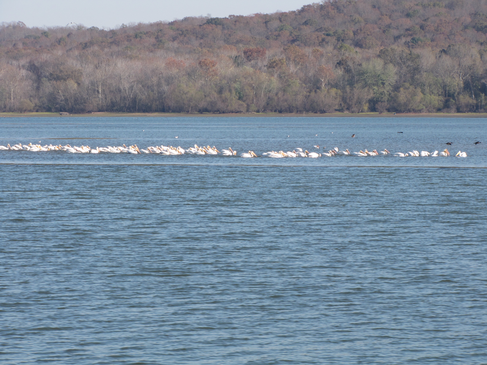
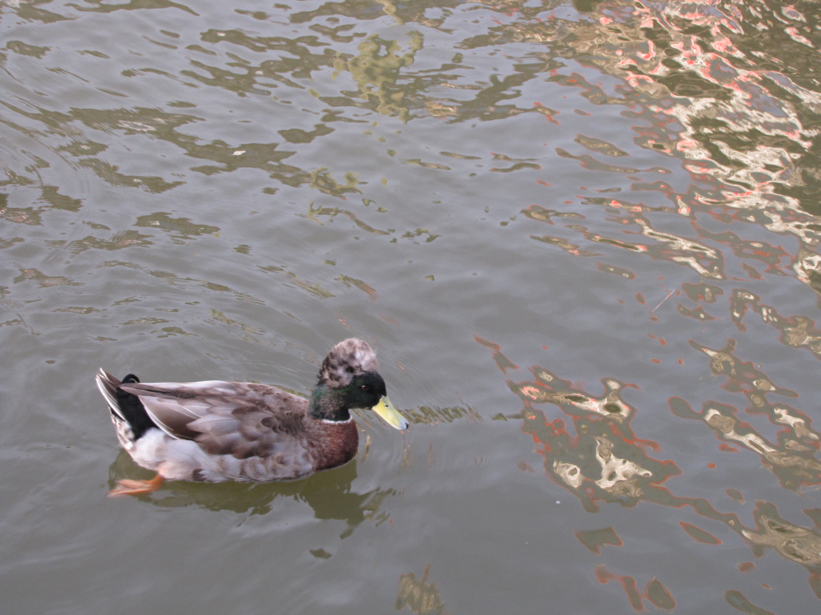
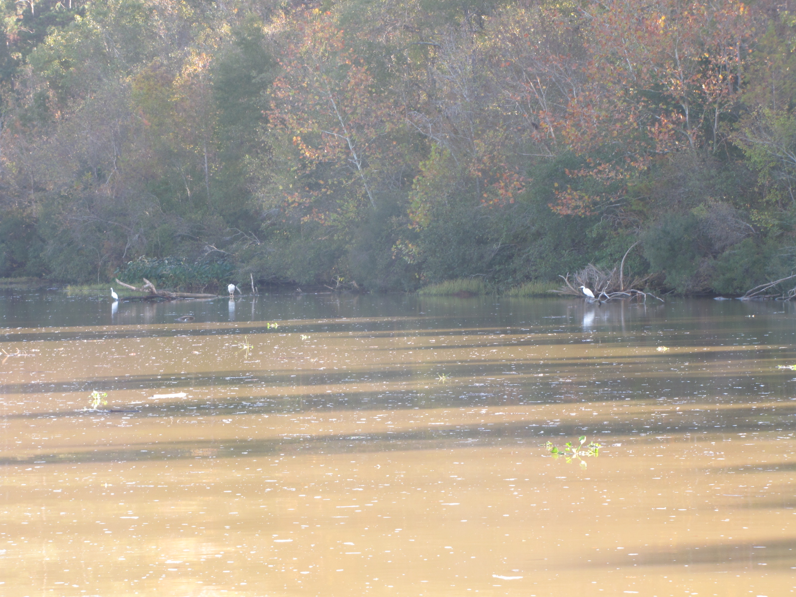
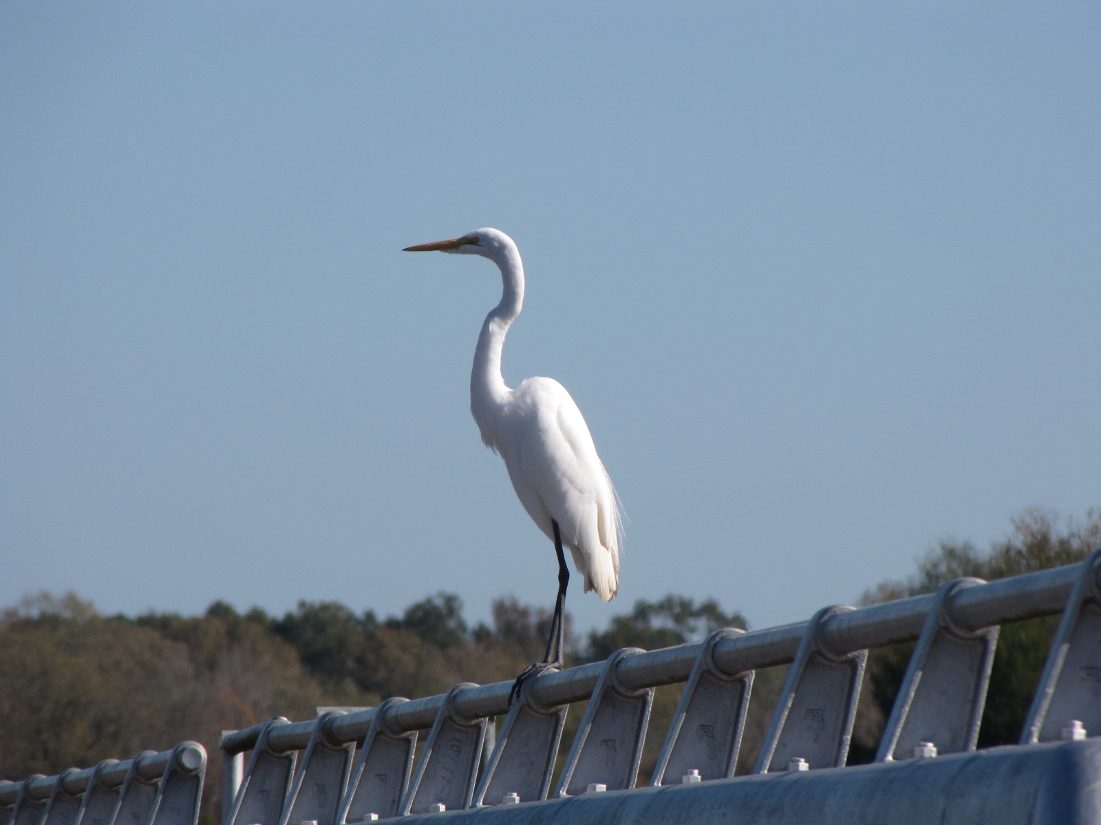
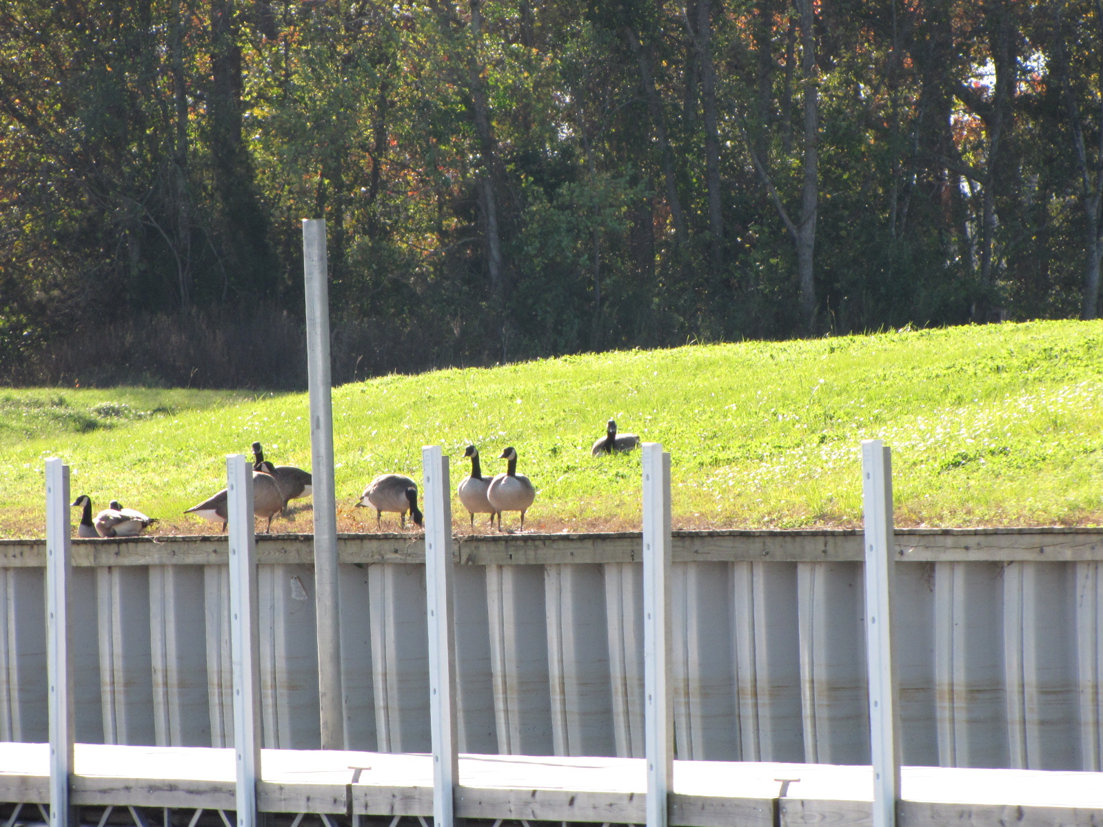
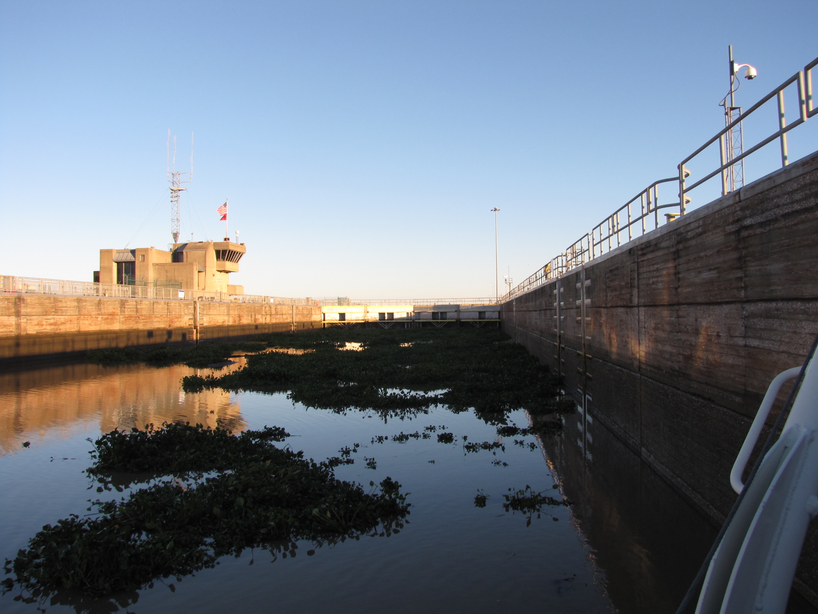
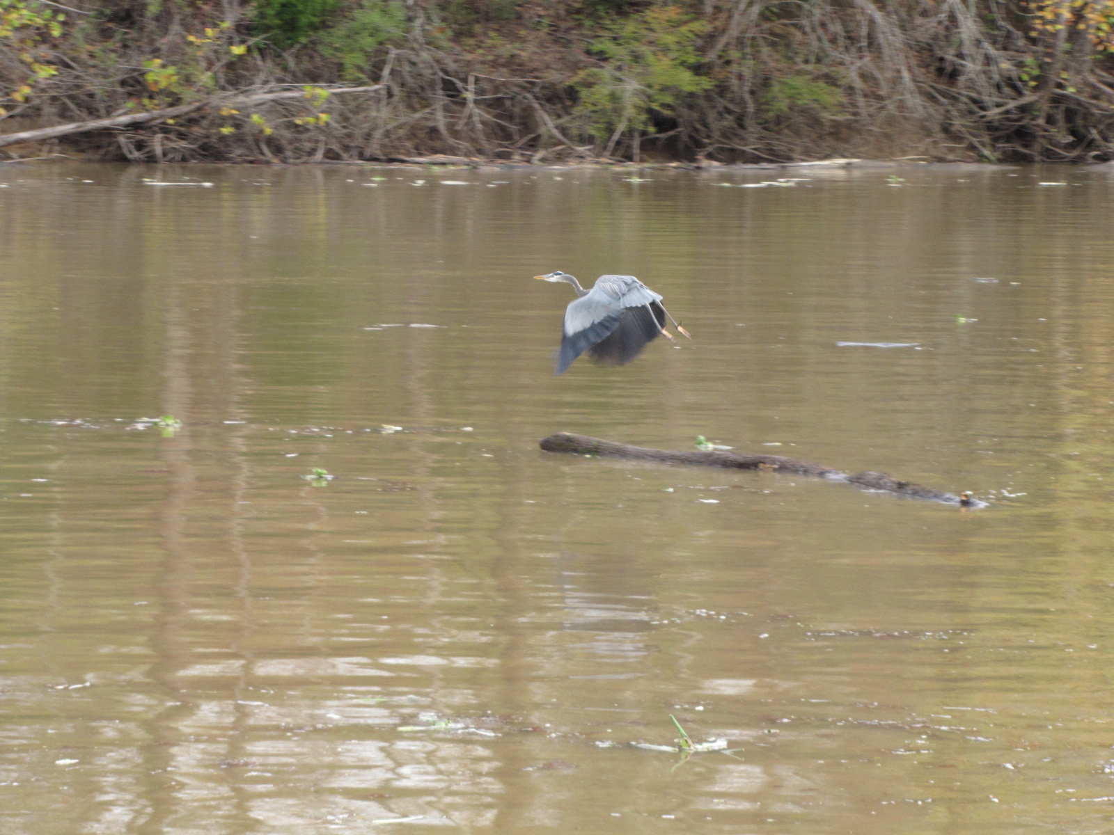
 We arrived at Coffeeville Dam, mile 116.6 – our last lock until Florida– just before 9:00, however the lockmaster had the lock set up for a northbound tow, so we waited an hour and ½ to lock through. Saw lots of herons/cranes and a few pelicans while we waited.
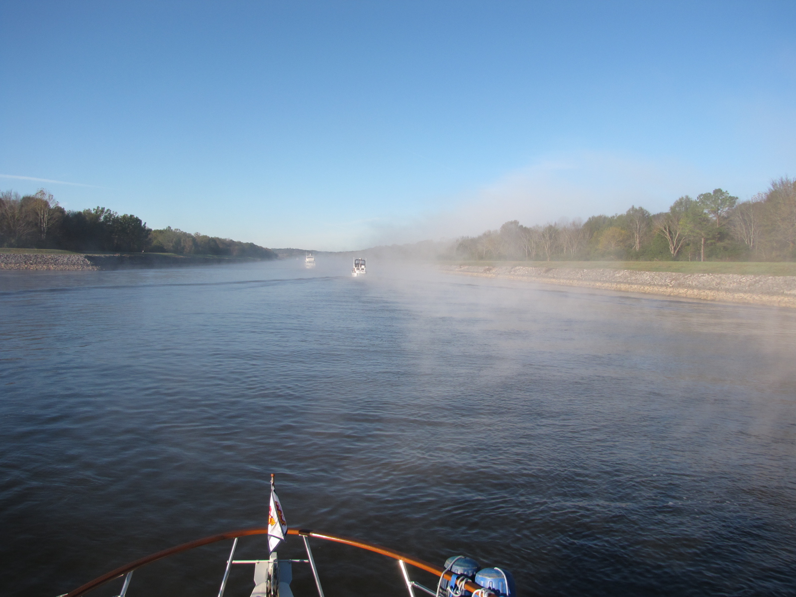
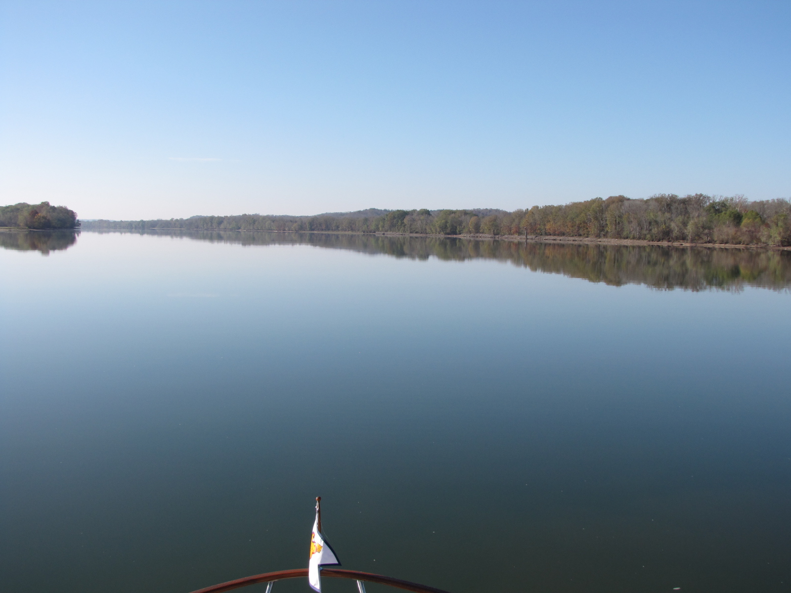
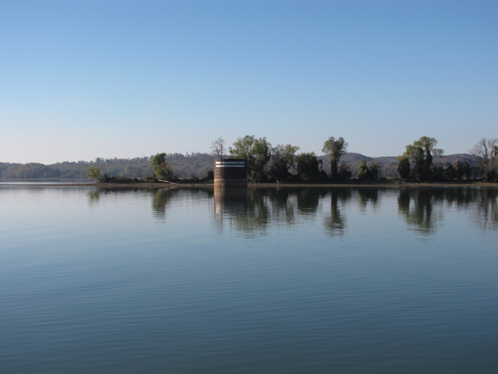
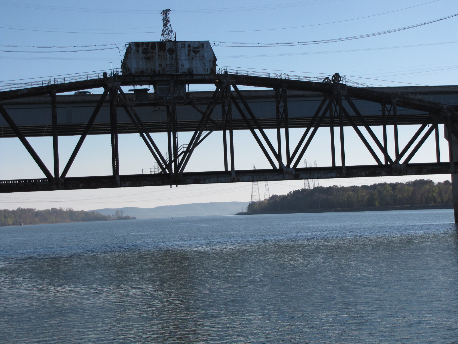
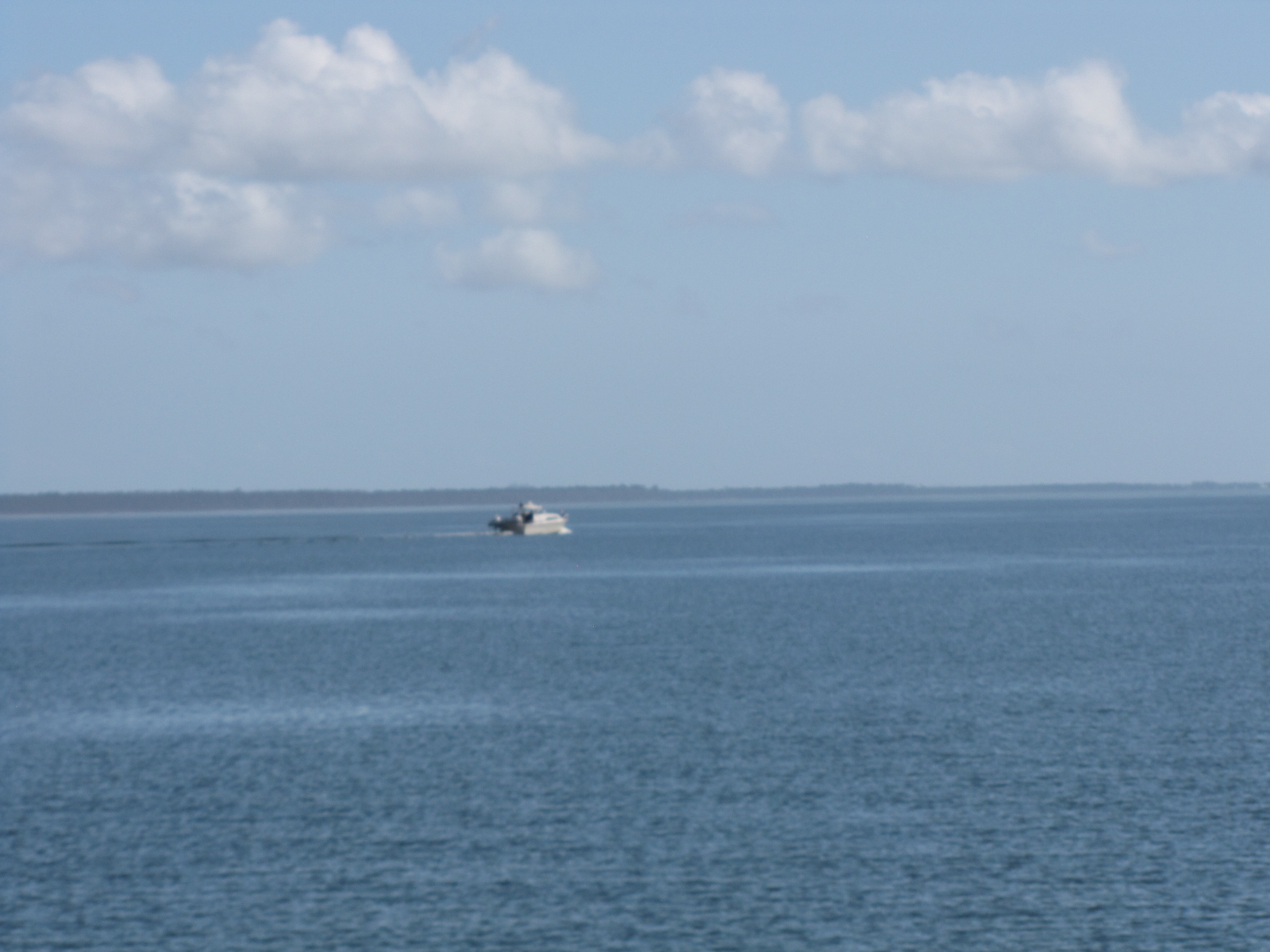
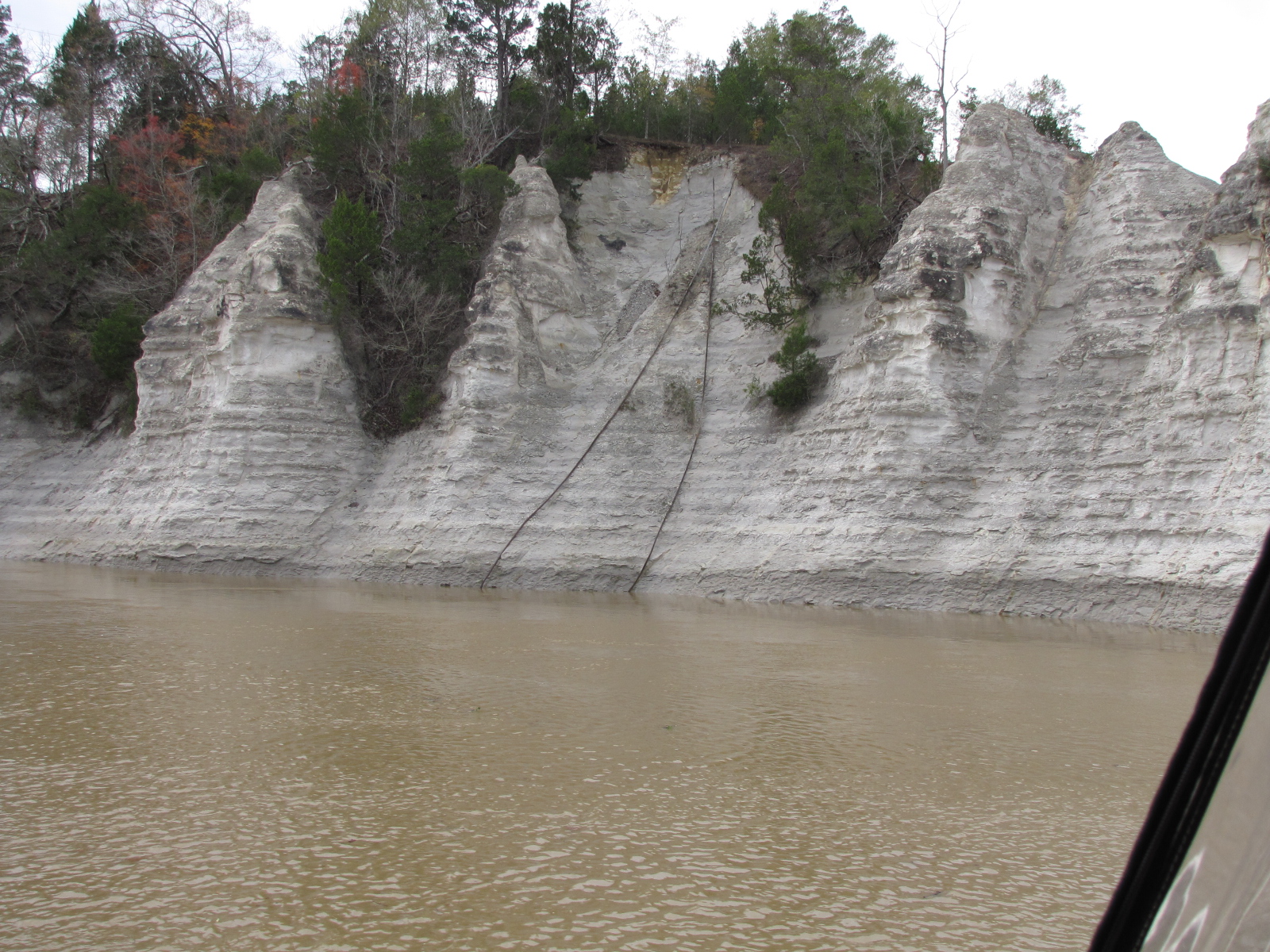
 In the lock, we were joined by “Touch of Class “and “Beluga”. The river meandered back and forth —in several places if the river had a straight cut through the bush, many miles could be shaved off the trip. I saw a drawbridge, that looked like it was still in operation.
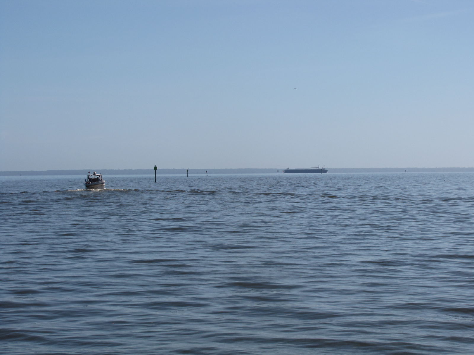
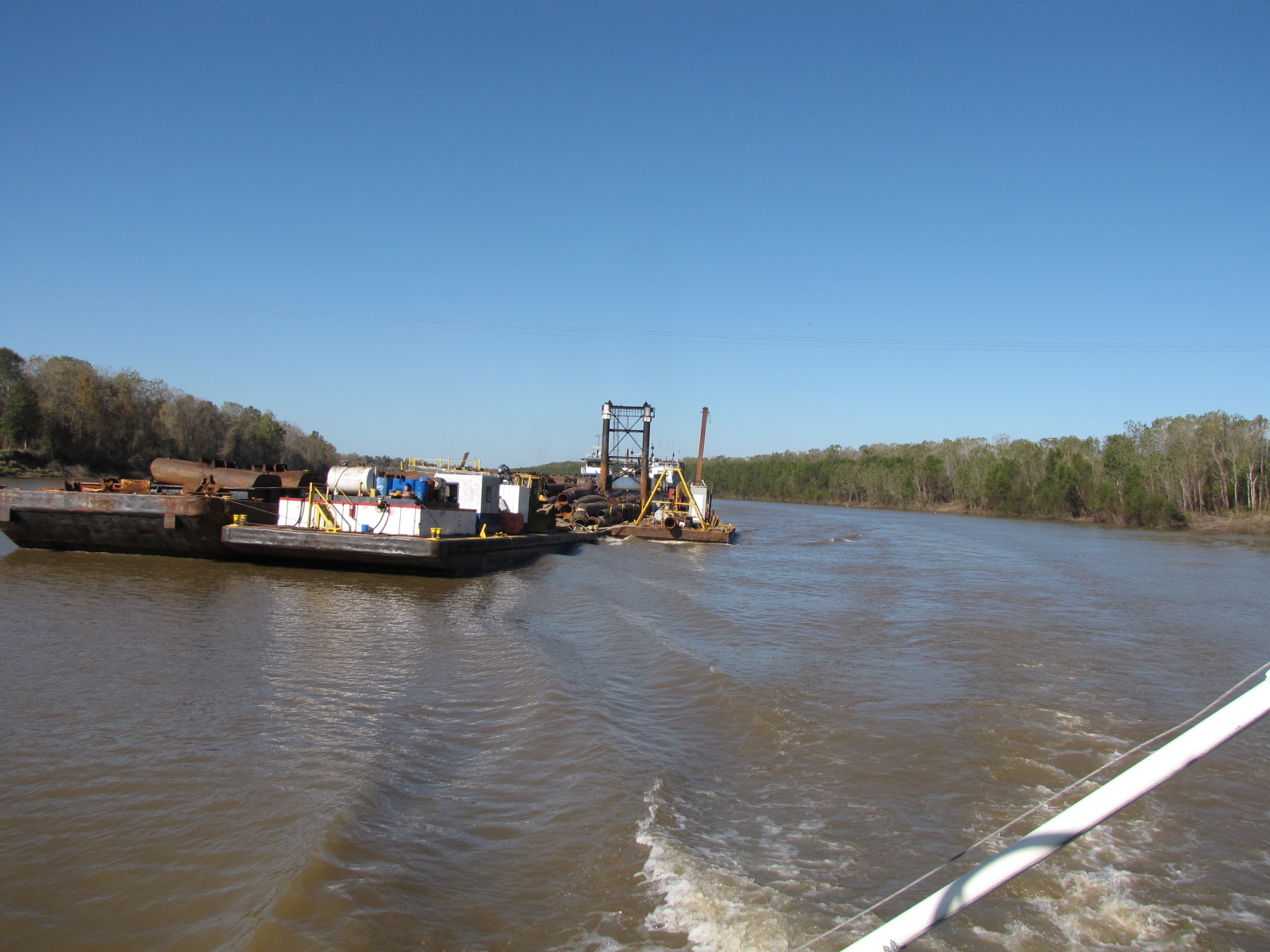
 There was a lot more tows on the river than we’d seen in the last few days. One tow was moving some dredging equipment and was over ¼ mile long, with a couple of auxillery tugs to help steer it.
 We kept in contact with “Touch of Class” throughout the day and had decided to go to Three rivers Lake at mile 64, we anticipated arriving there at 15:30, so we changed the anchorage to the Alabama cut-off at mile 52.8. We arrived there at 16:30 and set our anchor, but with over 100 feet of chain we didn’t feel too secure as there was a 5 knot current in the river. We weighed the anchor and went back to Bates Lake at mile 53.8, it was just becoming dark at 17:00 when we set our two anchors in 13.0 feet. “ Touch of Class”- Jaime and Connie arrived about 15 minutes later. Andy called and confirmed that we had three nights of dockage at Grand Mariner marina near Dog River. I guess we’ll be spending American Thanksgiving and Black Friday in Mobile Alabama on the Gulf Coast.
We left at 6:15, as we had 54 miles to Mobile and then another 12 to the marina.
It started out as a nice sunny day with hardly a breeze, but the wind picked up as we got closer to Mobile.
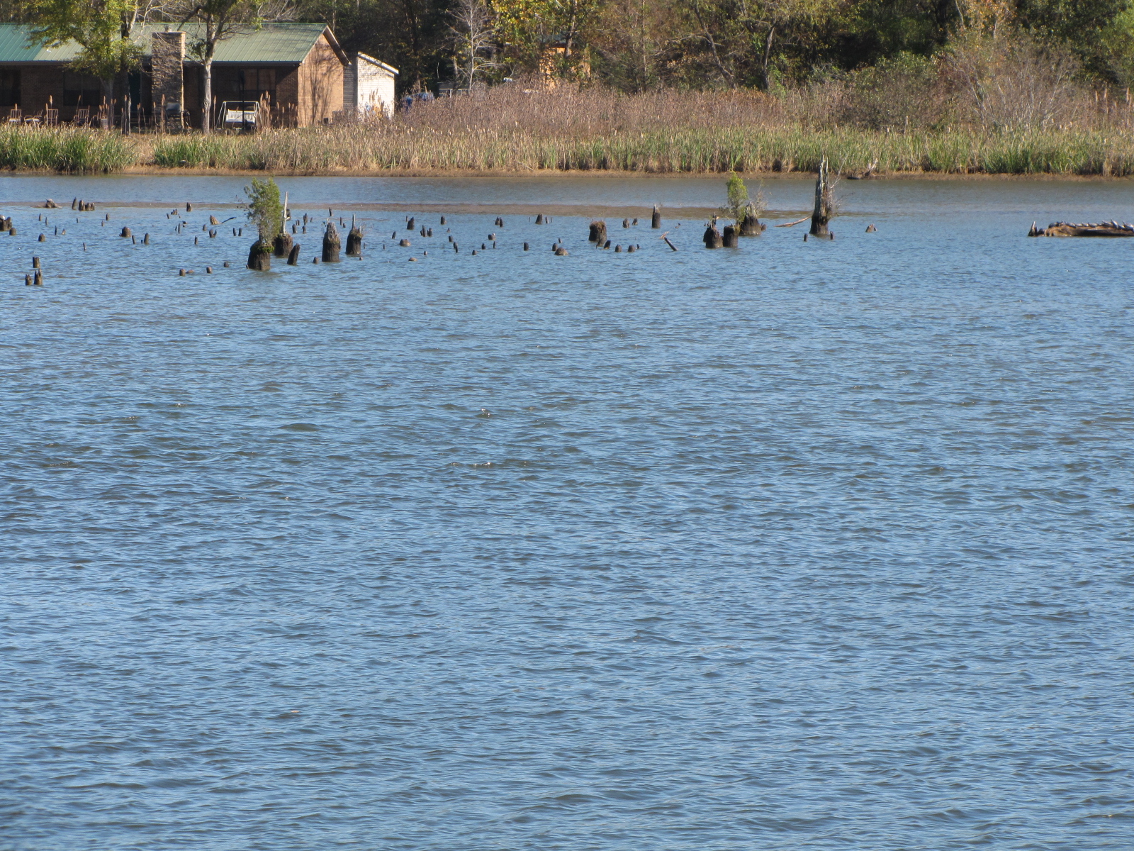
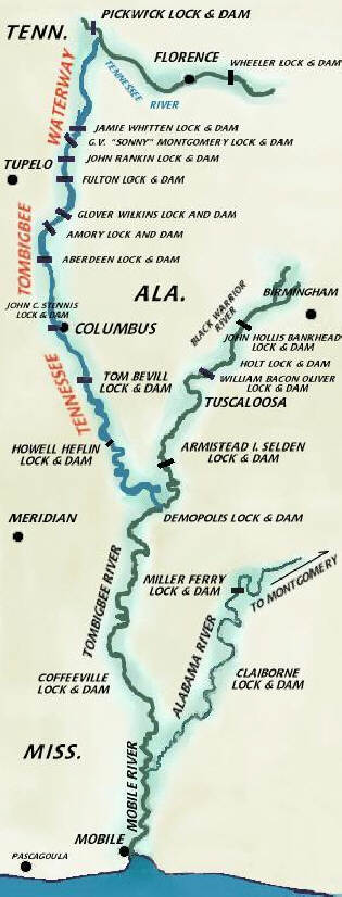
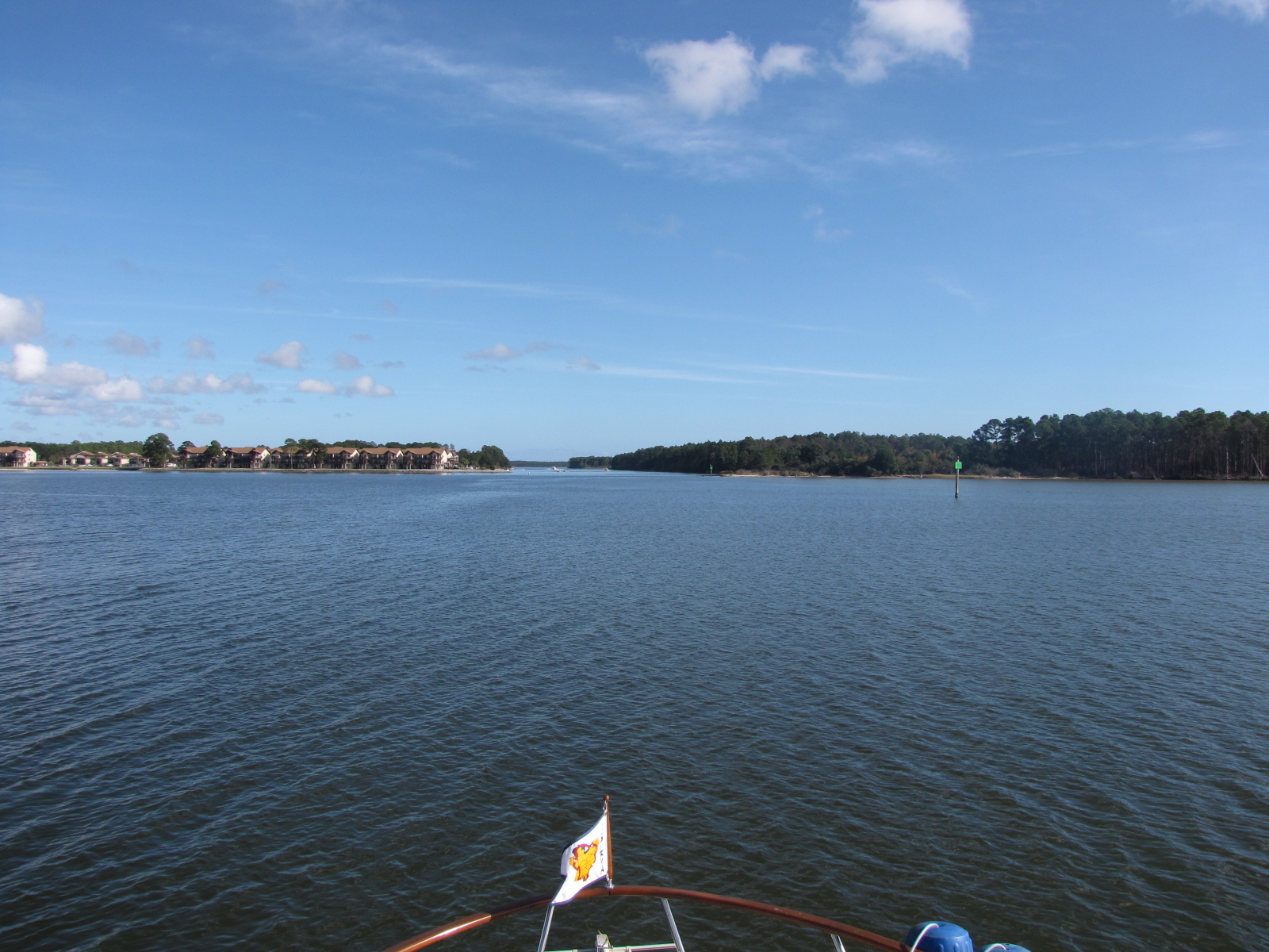
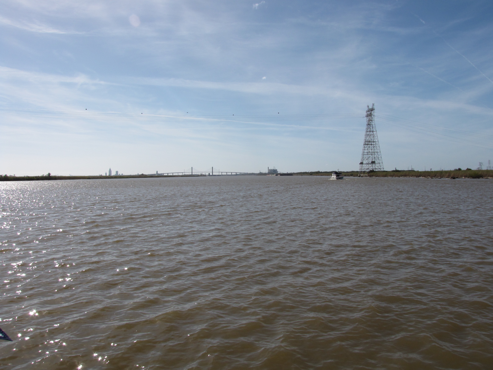
At mile 45 the Alabama River joined into the Black Warrior-TomBigbee River; and the river was re-named to the Mobile River—it’s hard to keep score- and know where we really are. At Mile 10 we left the Mobile River, I think, took a cut off channel, only to rejoin the Mobile river at Mile 7. Once we got to the bridge downtown we were then at Mile 0, and now on the Mobile Harbour/Shipping Channel-we followed this to Red Marker 65 and then turned right to get to our Marina on the Dog River, ( we’re far from Saskatchewan- so not that Dog River)
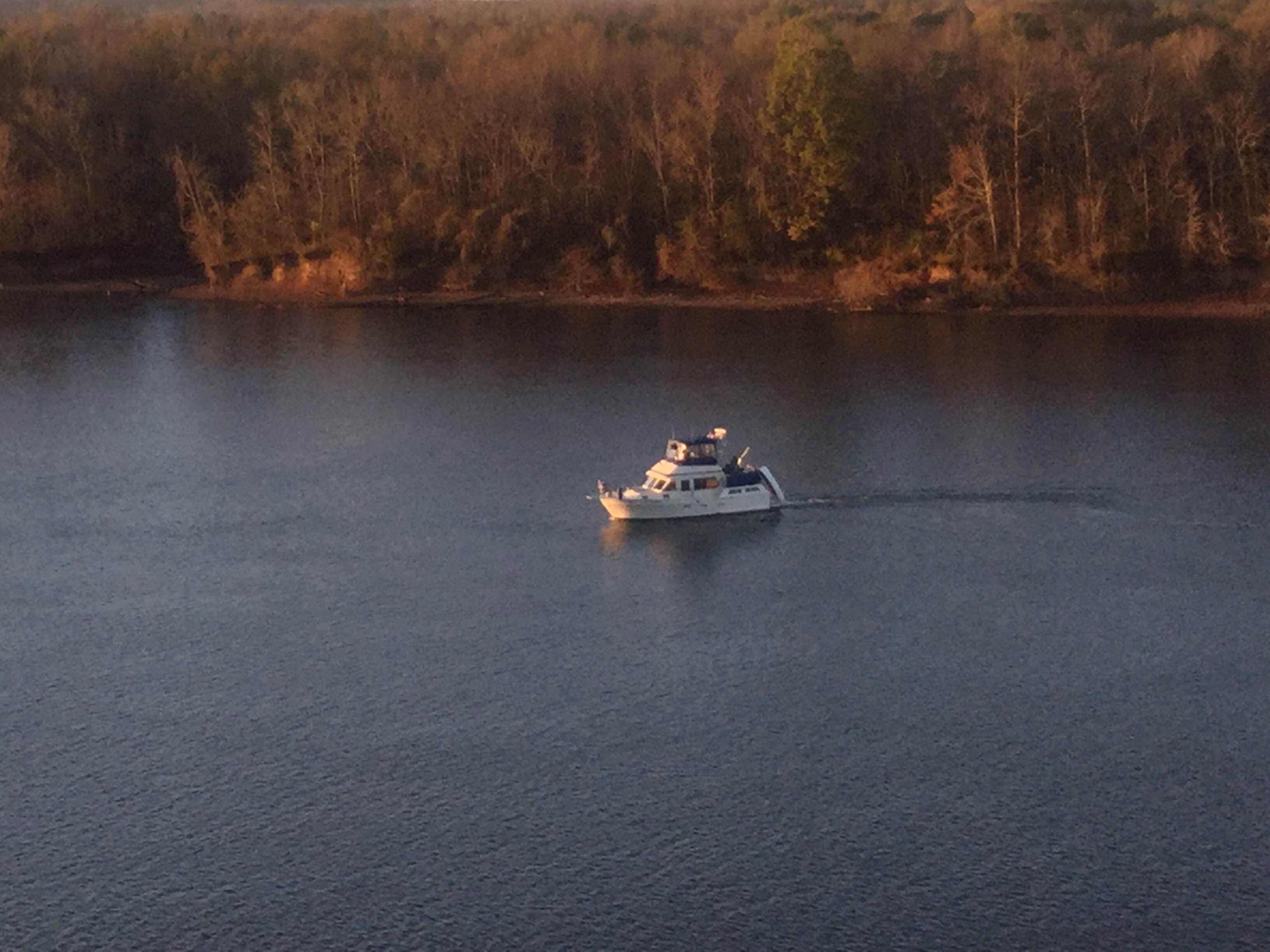
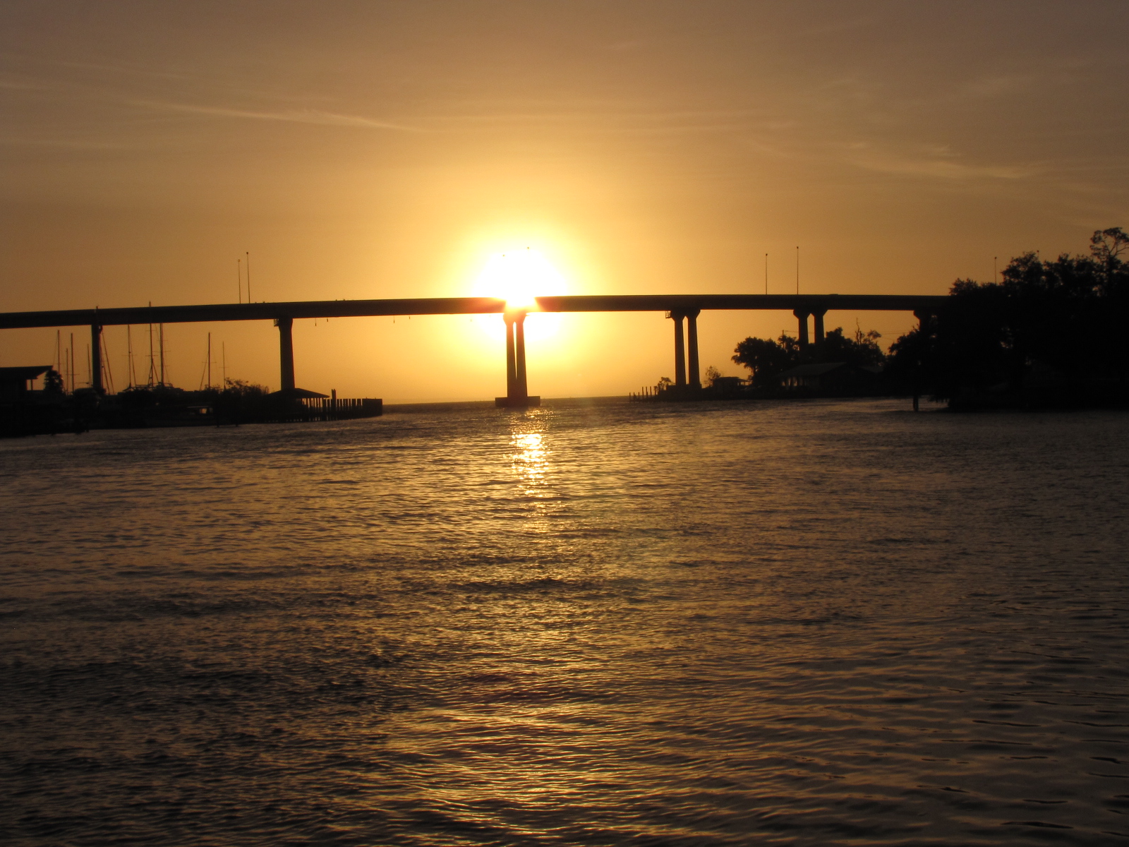
Once we got into Mobile Bay there were some 2 – 3 foot waves peaking at 4 that rocked the boat a fair bit. I was happy to turn west to get out of the pounding waves- it was too rough for me to take pictures- so you have to trust me that it was bad.
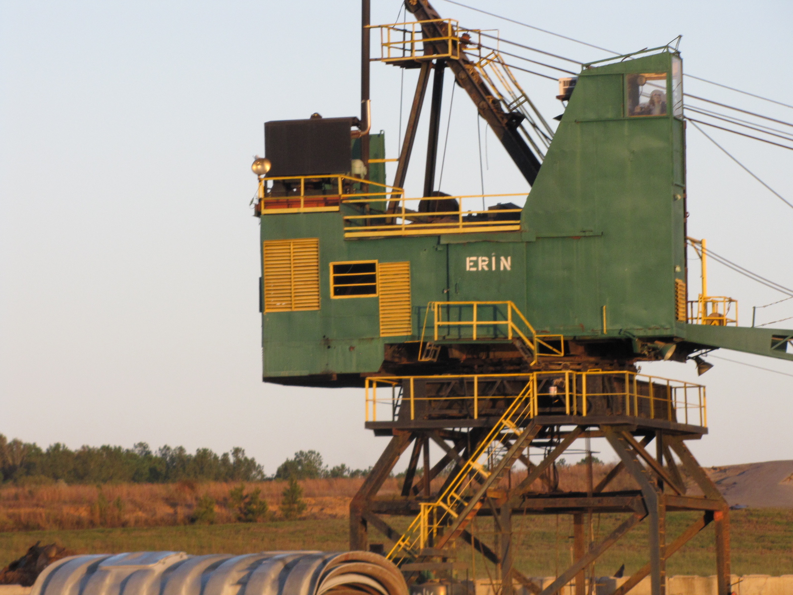
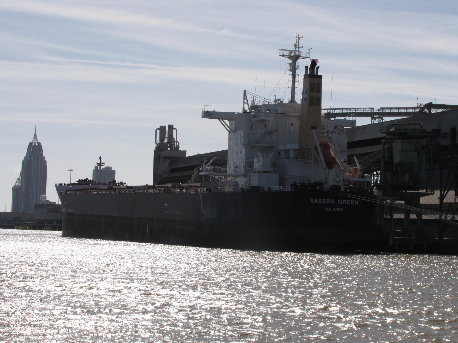
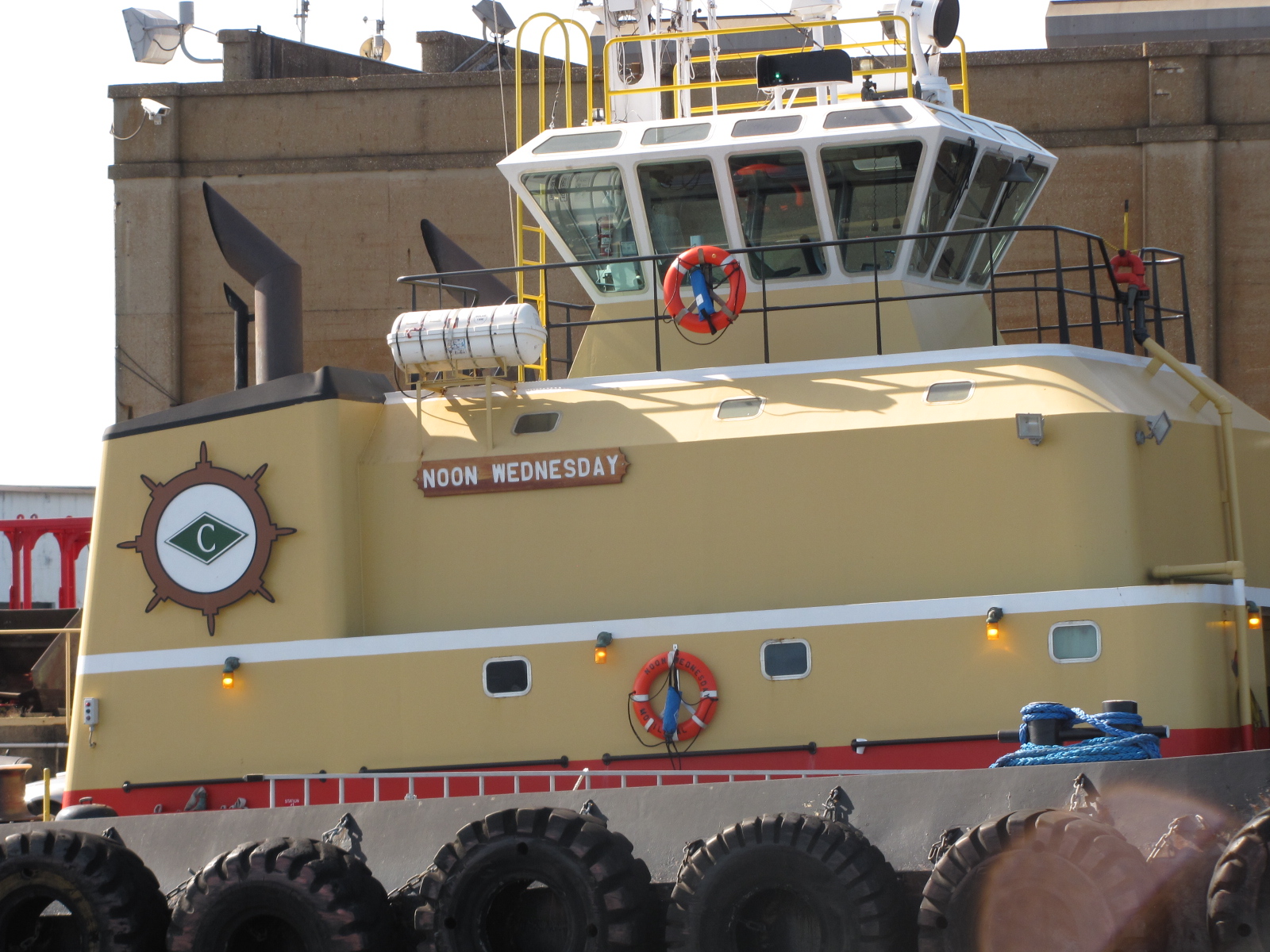
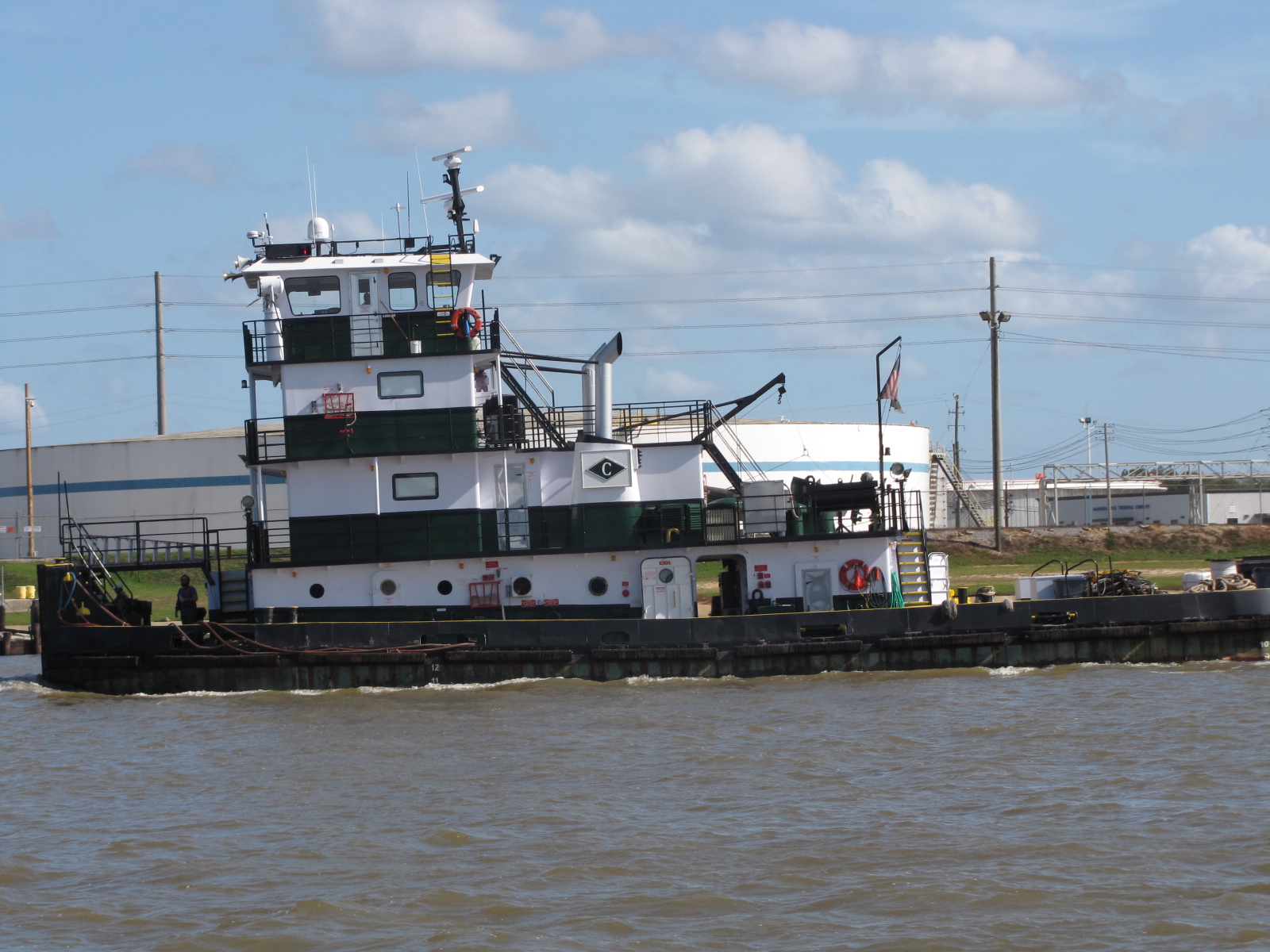
We went through several industrial areas, with paper plants and a steam plant. I saw some big equipment “mighty machines”, and took a picture of these for Jack, as one had his Mom’s name on it.
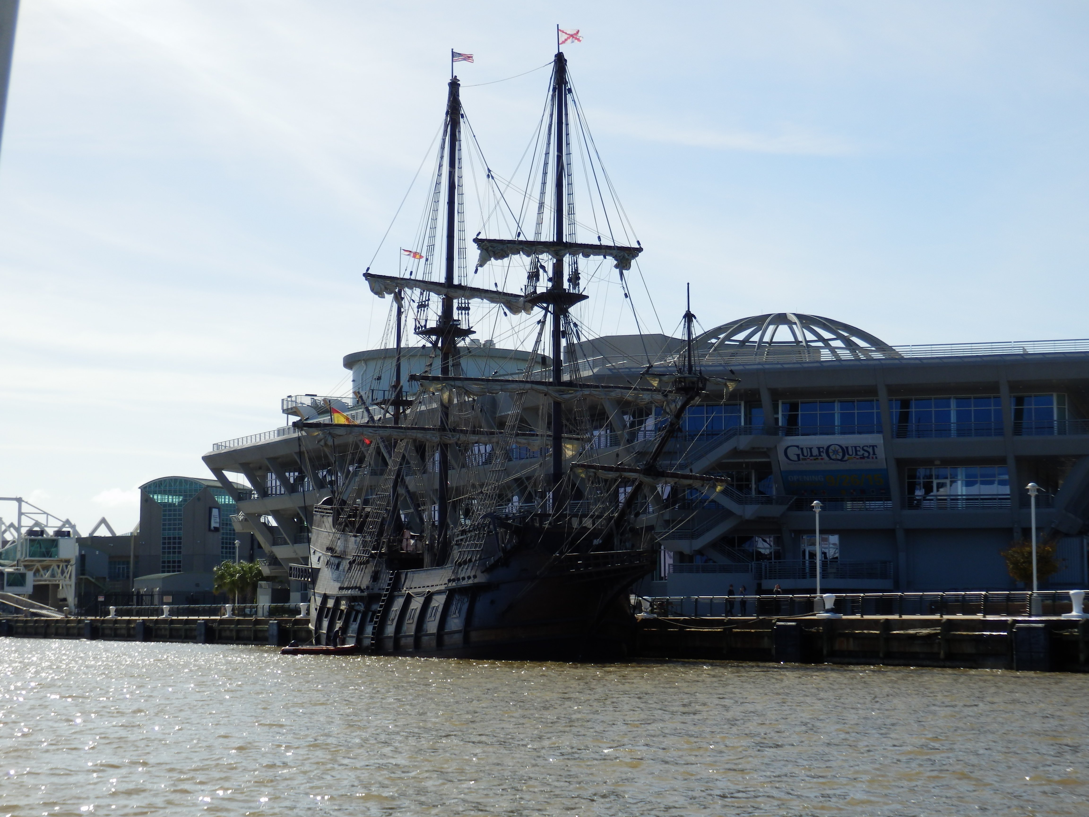
 Here’s my first glimpse of Mobile,
 there were many things to see along the river and I took pictures of many ships, and even found a few birds that didn’t look like Herons.


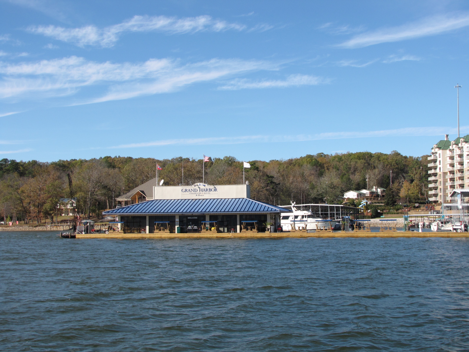
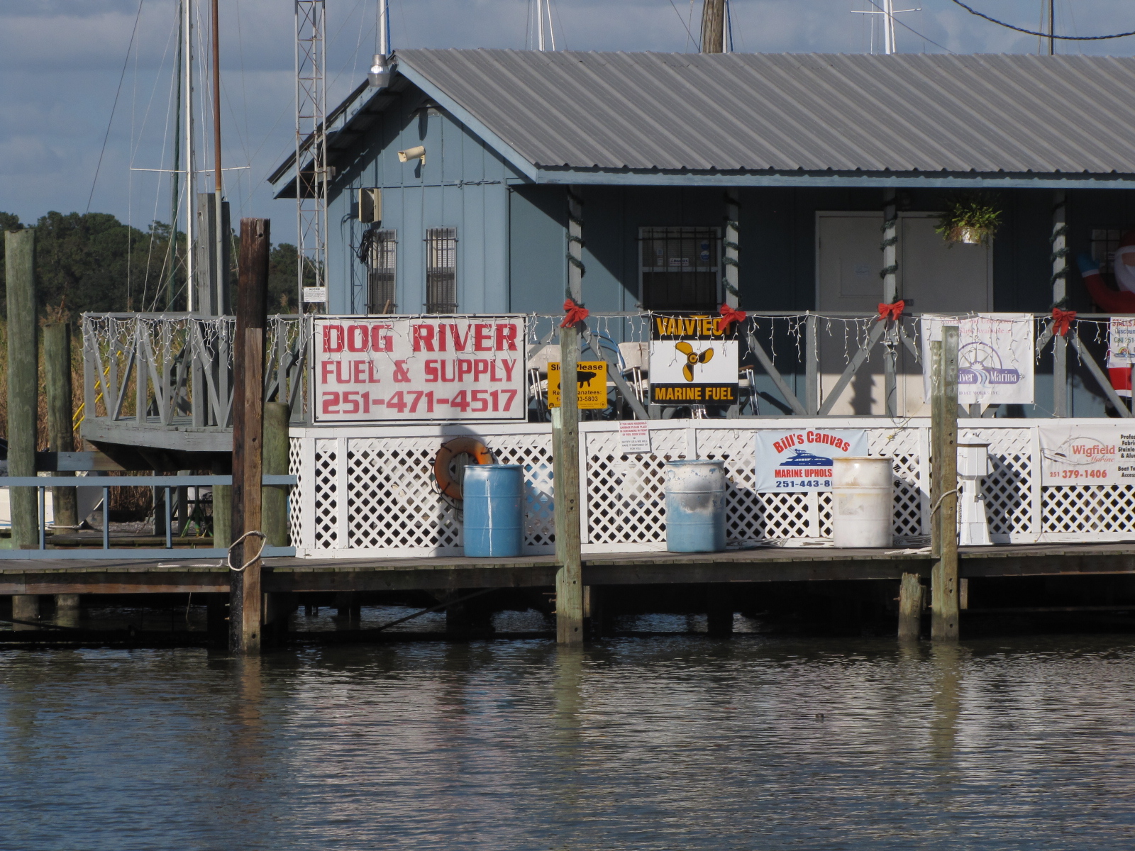
We’re at Grand Mariner Marina, and will be here for a couple days.

30.577043
-88.113172


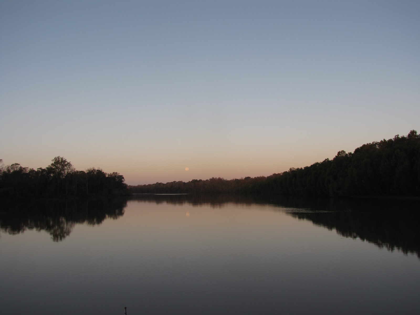


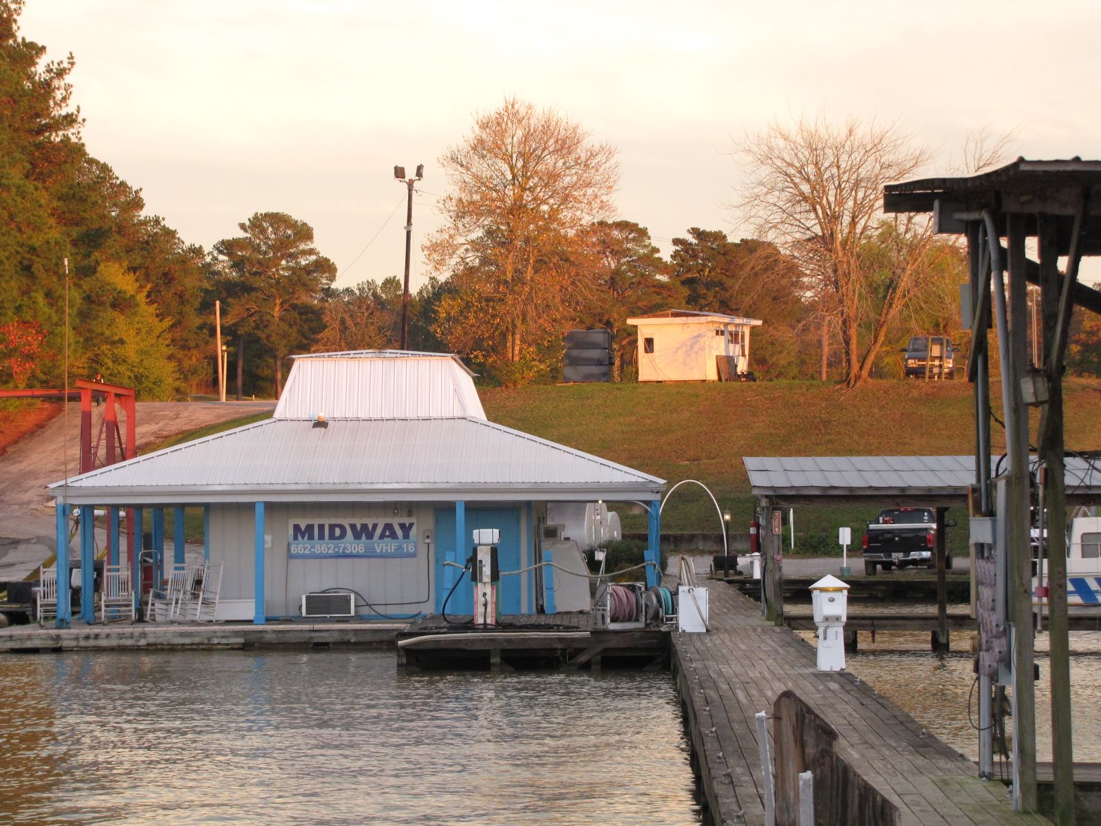
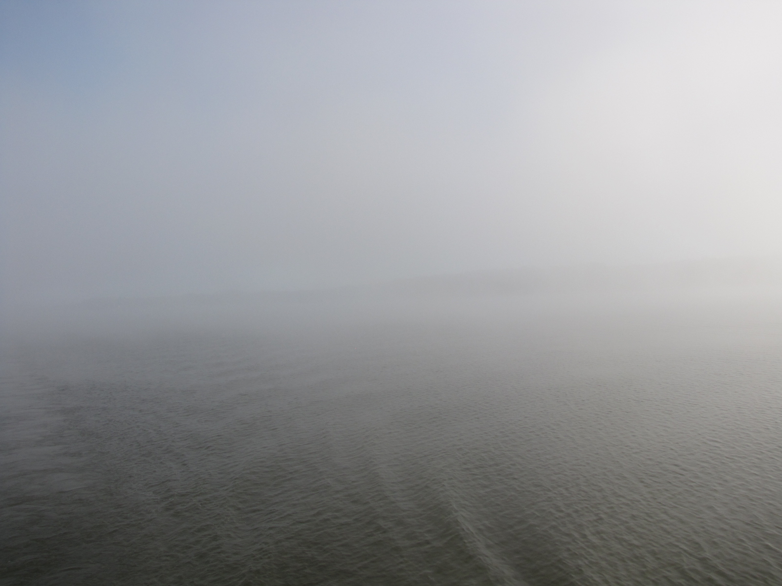

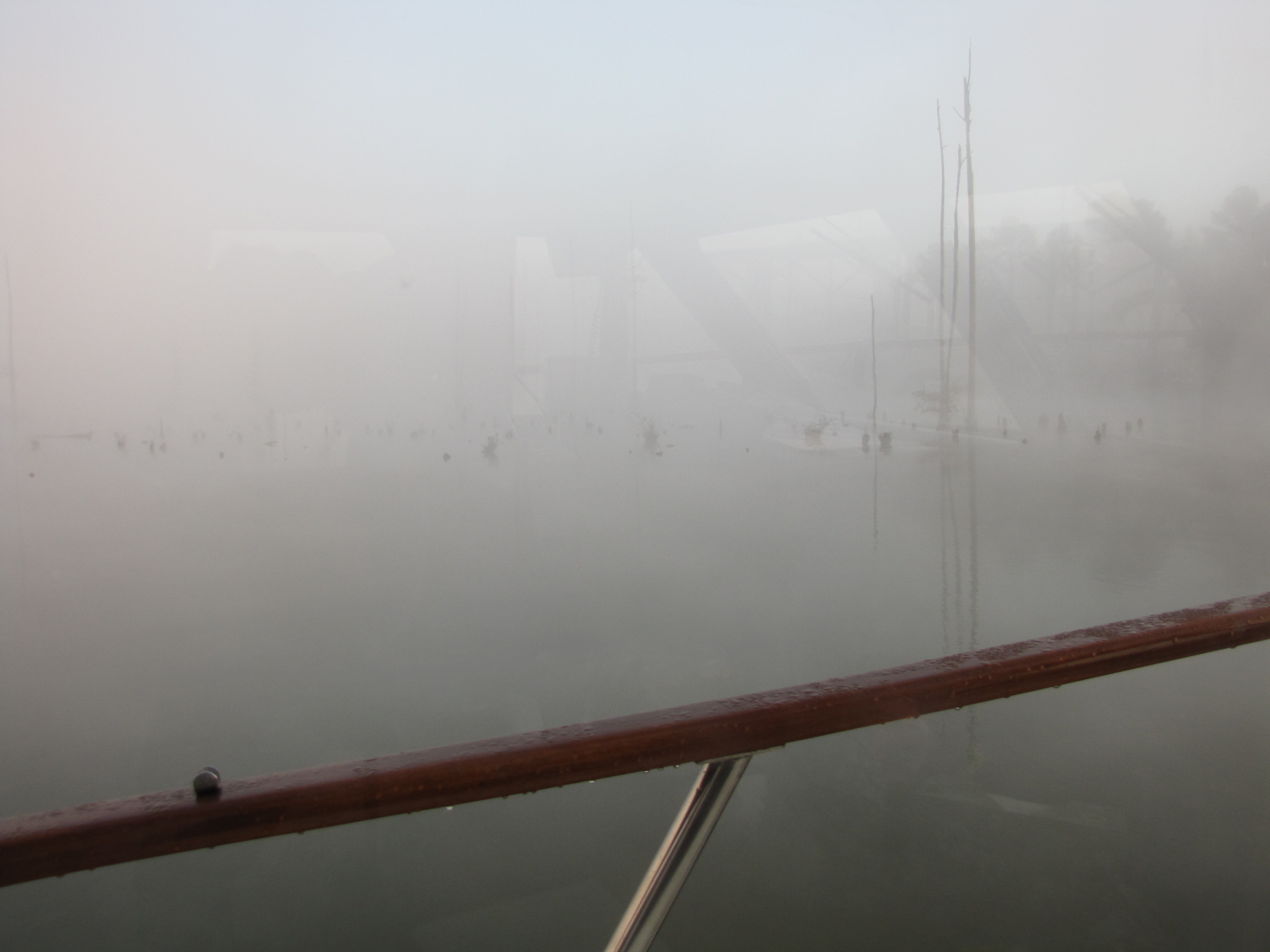
 This is the same view from the port window, two days apart. Yesterday it was extremely foggy here and no one considered leaving until after 8:00, when we finally went to start the engines to pull out, the Starboard would not start. We called for a maintenance person to come take a look, but they are unavailable until Monday. So we are still at Midway Marina in Fulton MS.